The best running trails around Villamiel De La Sierra
246
runners
22
runs
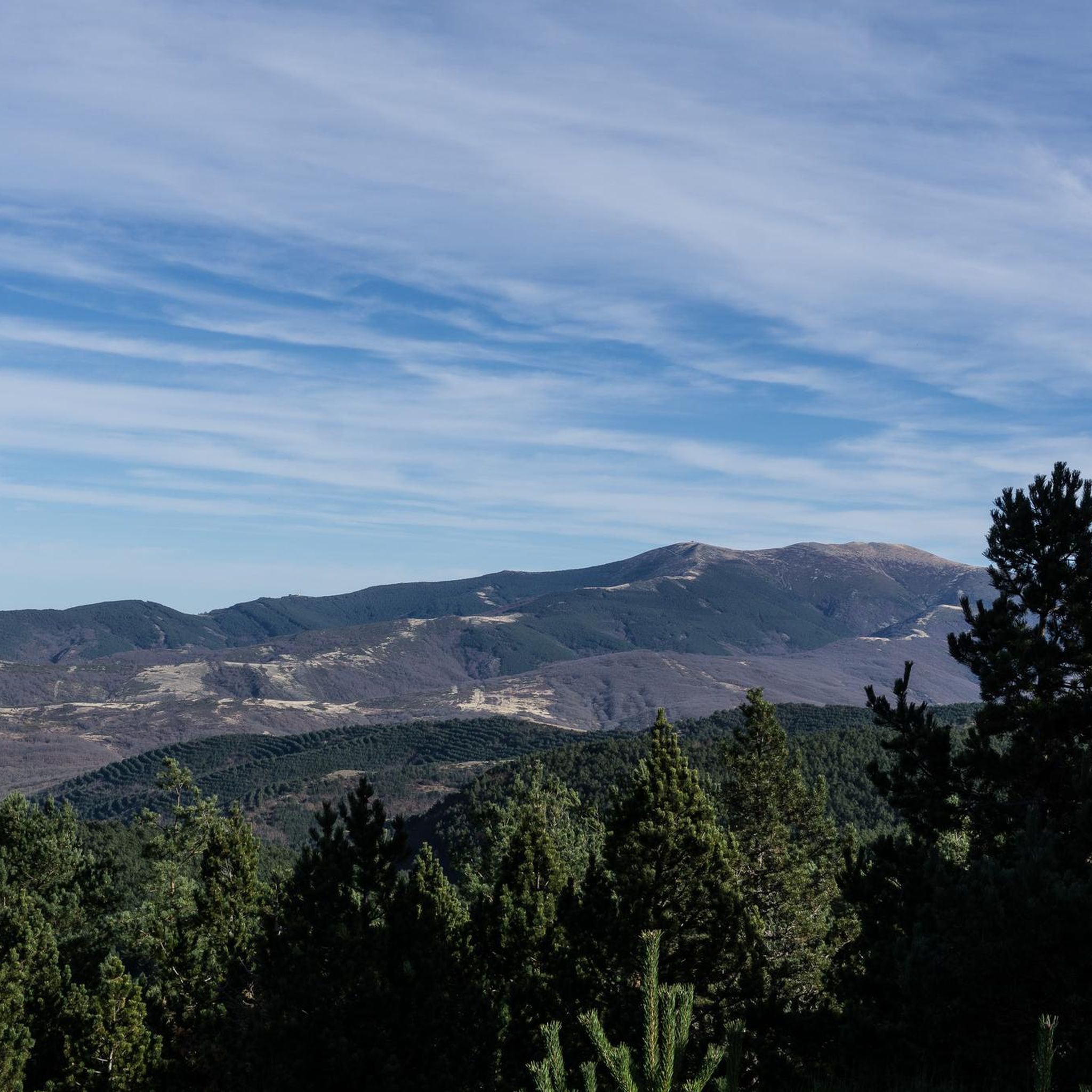
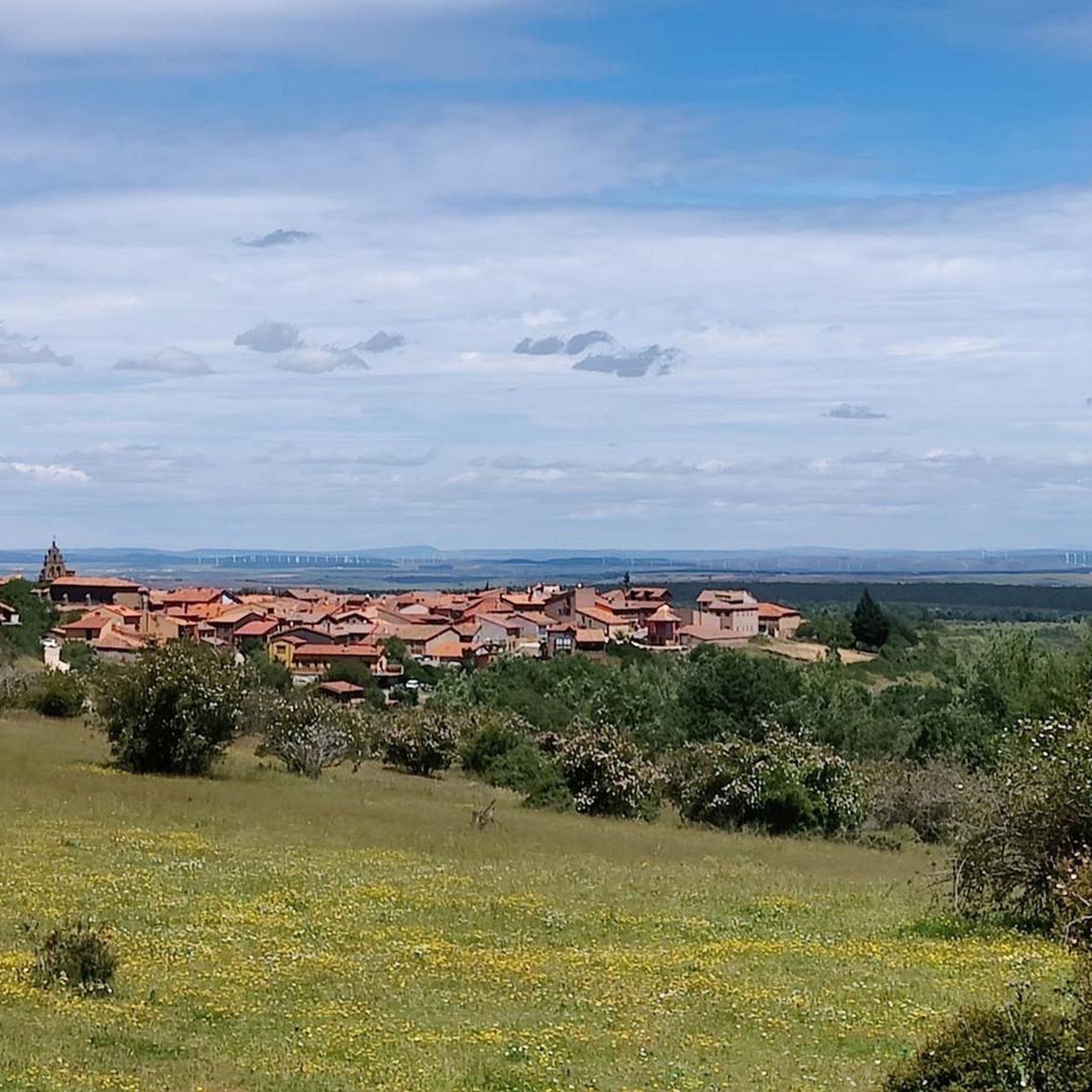
Jogging routes around Villamiel De La Sierra are set within the mountainous landscape of the Sierra de la Demanda, offering diverse terrain for runners. The region features elevated areas, including the Sierra de Mencilla and Casarejo peak, with the village itself at 1,146 meters above sea level. Routes often traverse oak and beech forests and follow river valleys, providing varied natural environments. The area is ecologically rich, with views over the Arlanzón reservoir.
Best jogging routes around Villamiel De La…
Last updated: July 12, 2026
35
runners
10.1km
01:50
730m
730m
Hard run. Very good fitness required. Mostly paved surfaces. Suitable for all skill levels.
25
runners
35.1km
05:27
1,720m
1,720m
Hard run. Very good fitness required. Sure-footedness, sturdy shoes and alpine experience required.

Sign up for free
27
runners
22.8km
03:18
980m
980m
Hard run. Very good fitness required. Mostly paved surfaces. Suitable for all skill levels.
26
runners
29.8km
05:01
1,780m
1,780m
Hard run. Very good fitness required. Sure-footedness, sturdy shoes and alpine experience required.
14
runners
29.6km
03:57
1,100m
1,100m
Hard run. Very good fitness required. Mostly paved surfaces. Suitable for all skill levels.
Get access to more routes and recommendations from other explorers.
Sign up for free
Already have an account?
Our route recommendations are based on thousands of hikes, rides, and runs completed by other people on komoot.
Start today with a free account
Your next adventure awaits.
Login or Signup

Tips from the Community

beautiful climb via the greenway or the road
0
0

Spectacular area for hiking routes
0
0
a highly recommended area for hiking.
0
1

There is always the solution to difficult points: doing them by road.
0
0

There are many routes, both easy and difficult, to choose from. The Sierra is very beautiful, especially in autumn.
0
0

The railway crossed this port through a tunnel. When making the greenway, the original route was not recovered, so the arrival and departure of the port are two very steep slopes. Most panniers make them by pushing the bike.
1
0

The path leaves El Portillo on the east side, goes up a few meters along a channel and enters the north side. If the mountain has snow, this section is dangerous because the cold and shady conditions keep the path icy and the fall is fatal; crampons and ice axes would be essential. The alternative is to climb directly along the channel on the east face, with less slope, sunnier and direct to the summit of San Millán (2,131 m), also called El Torruco. At the top there is a small circular stone tower adorned with a metal house and other festival motifs left by mountaineers. The southern slope of the mountain is a large mass of gentle slopes with no remains of glacial activity towards the valley of the Arlanzón River. The descent continues along the west face, enjoying extraordinary views of the Urbión River valley and the glacial cirque where the San Millán lagoon appears half frozen.
0
0

From the top of Pico Mencilla, you can see Pico Trigaza and San Millan
1
0
Frequently Asked Questions
How many running routes are available in Villamiel de la Sierra?
There are over 20 running routes around Villamiel de la Sierra documented on komoot, offering a variety of options for different preferences and fitness levels.
What is the general difficulty level of jogging trails in this region?
The majority of jogging routes in Villamiel de la Sierra are classified as difficult, with 21 out of 24 routes falling into this category. There are also 3 moderate routes, but currently no easy routes available for beginners.
What kind of terrain can I expect on the jogging routes around Villamiel de la Sierra?
You can expect a diverse and often challenging terrain. Routes frequently traverse the mountainous landscape of the Sierra de la Demanda, featuring significant elevation changes. Many paths lead through dense oak and beech forests, and some follow scenic river valleys. The area is ecologically rich, providing varied natural environments.
Are there any jogging routes with scenic viewpoints or natural features?
Yes, many routes offer stunning vistas. For example, you can find routes with beautiful views over the Arlanzón reservoir, which is one of the two reservoirs supplying water to the Burgos region. The mountainous setting of the Sierra de la Demanda itself provides numerous elevated perspectives.
Can I find routes that pass through forests?
Absolutely. The region is known for its extensive forests. Many jogging routes, such as the Pineda de la Sierra – San Millán (2,131 m) loop from Pineda de la Sierra, lead through scenic sections of oak and beech forests, where the vegetation changes colors with the seasons.
Are there any circular jogging routes available?
Yes, several routes are designed as loops. For instance, the Alto de la Cerca – La Cerca loop from Urrez is a difficult 24.6 km route that offers a circular experience through the natural landscapes.
What is the best time of year to go jogging in Villamiel de la Sierra?
The continental Mediterranean climate means cold, snowy winters and warm, dry summers. While jogging is possible year-round, the spring and autumn months are often ideal, offering pleasant temperatures and vibrant natural scenery. Winters can be challenging due to snow, especially at higher elevations.
Are there any longer, more challenging running trails for experienced runners?
Yes, the area is well-suited for experienced runners seeking a challenge. The Pico Mencilla loop from Urrez is a difficult 30.6 km route with significant elevation gain, taking approximately 4 hours 6 minutes to complete. This route offers an intense workout amidst stunning mountain scenery.
What do other runners enjoy most about jogging in Villamiel de la Sierra?
Over 250 runners have explored Villamiel de la Sierra's varied terrain using komoot. They often praise the challenging mountainous routes, the dense oak and beech forests, and the rewarding views over natural features like the Arlanzón reservoir.
Are there any historical or cultural points of interest near the jogging routes?
While jogging, you can also appreciate the traditional architecture of Villamiel de la Sierra, including its well-preserved stone houses and the 16th-century Gothic parish church of San Roque. A medieval cross and a restored mill and oven are also points of interest within the village, offering a glimpse into its traditional character.
Are there any specific areas known for trail running centers nearby?
Yes, nearby Regumiel de la Sierra hosts a Trail Running Center (TRC-023 Regumiel de la Sierra – Muñalba). This center offers marked routes that traverse varied terrain, including forests and elevated peaks, with significant elevation changes, culminating at peaks like Muñalba (2,069 m).
Can I combine jogging with exploring other attractions in the area?
Absolutely. Many routes pass by or are close to interesting spots. For example, you could jog near Pineda de la Sierra, a charming settlement, or along the Sierra de la Demanda Greenway, which offers a scenic path through forests and by the reservoir.
Most popular routes around Villamiel De La Sierra
Most popular attractions around Villamiel De La Sierra

Get inspired with the komoot mobile app


Explore more
Browse the best Running Trails & Routes in other regions.
