The best walks and hikes around Breitengüßbach
4.3
(166)
744
hikers
68
hikes
Hiking around Breitengüßbach offers diverse landscapes at the edge of the Franconian Jura in Upper Franconia. The region is characterized by green forests, lush meadows, and the Main River, providing varied terrain for outdoor activities. Hikers can explore contrasting landscapes between Bavaria and Thuringia, with trails winding through hills and valleys. This area serves as a starting point for exploring an extensive network of hiking paths.
Best hiking trails around Breitengüßbach
- The most popular hiking route is Breitengüßbach Station –…
Last updated: August 21, 2026
5.0
(7)
46
hikers
Moderate hike. Good fitness required. Easily-accessible paths. Suitable for all skill levels.
3.5
(4)
38
hikers
Easy hike. Great for any fitness level. Easily-accessible paths. Suitable for all skill levels.

Sign up for free
4.6
(11)
30
hikers
Moderate hike. Good fitness required. Easily-accessible paths. Suitable for all skill levels.
4.4
(10)
22
hikers
5.64km
01:30
60m
60m
Easy hike. Great for any fitness level. Easily-accessible paths. Suitable for all skill levels.
4.7
(6)
23
hikers
16.9km
04:29
170m
170m
Moderate hike. Good fitness required. Easily-accessible paths. Suitable for all skill levels.
Get access to more routes and recommendations from other explorers.
Sign up for free
Already have an account?
Our route recommendations are based on thousands of hikes, rides, and runs completed by other people on komoot.
Start today with a free account
Your next adventure awaits.
Login or Signup
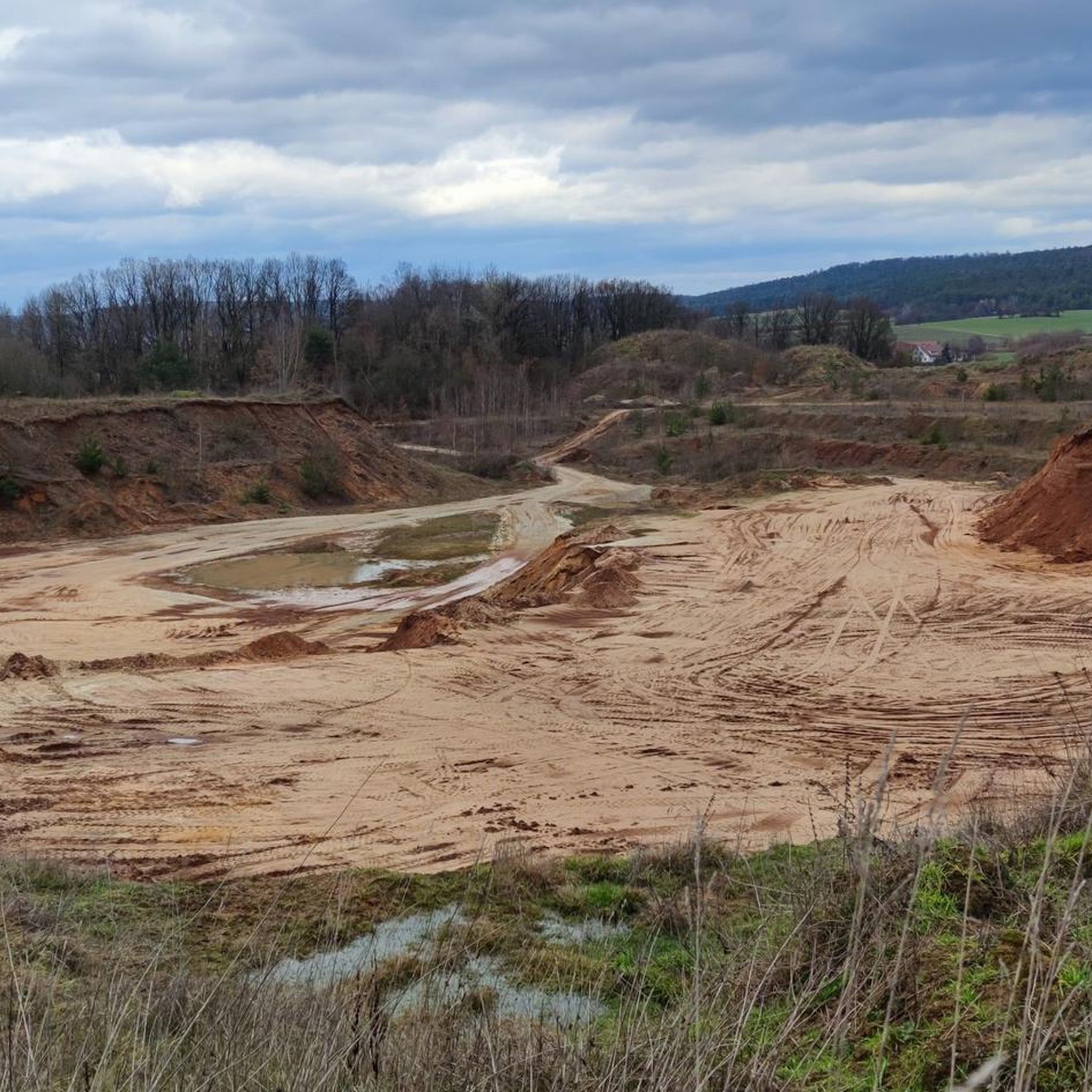
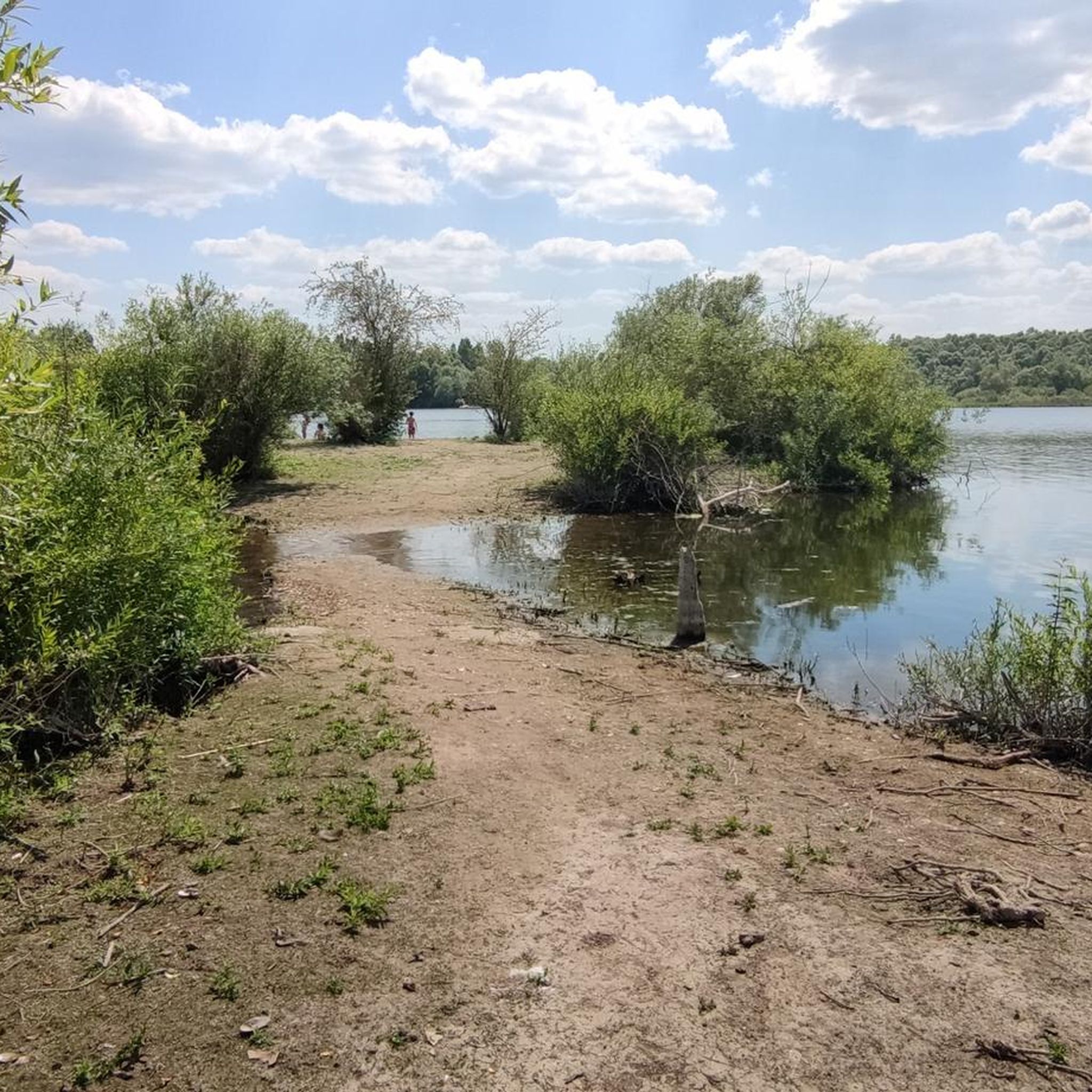
Tips from the Community

In 1935, a 131ha area was built well camouflaged in the forest as an ammunition depot. After World War II, the site still served the Bundeswehr and the US forces for some time. Since 2007, there has been no military use anymore. Nevertheless, entering off the paths is forbidden due to possible ammunition residues, underground facilities, and buildings at risk of collapse. Today, there are many forest educational trails and an environmental station. The gates are open 24 hours for pedestrians. There are parking spaces in front of the gate in Breitengüßbach.
0
0

Unfortunately, they weren't outside...
0
0
Unfortunately it was closed for a while...
0
0
The whole area houses great information boards and sculptures
0
0

Schönex's old sandstone bridge. Unfortunately, the view of it is obstructed by the new bridge located directly next to it.
5
0

Next to the old bridge for traffic, a pedestrian bridge was built, from which you can easily inspect the stone bridge
2
1
The weir appears to have served to irrigate the fields. Ditches with smaller weirs remain on both sides.
2
0

Beautiful fish pass with resting places.
0
0
Frequently Asked Questions
How many hiking trails are available around Breitengüßbach?
There are over 60 hiking routes in the Breitengüßbach area, offering a wide range of options for different skill levels. You'll find 43 easy routes and 26 moderate routes to explore.
Are there easy hiking trails suitable for beginners in Breitengüßbach?
Yes, Breitengüßbach offers many easy trails perfect for beginners. An excellent option is the Wild Boar Enclosure – Abandoned Wooden Outhouse loop from Breitengüßbach, an easy 3.7 miles (5.9 km) path that takes about 1 hour 33 minutes through natural surroundings.
What are the best times of year to go hiking in Breitengüßbach?
The best times to visit for outdoor activities are typically spring and summer, when nature is in full bloom. However, autumn also offers unique beauty with its colorful foliage, making it a great time for hikes.
Are there any family-friendly hiking routes in Breitengüßbach?
Many of the easy routes are suitable for families. The region's green forests and lush meadows provide pleasant, gentle terrain. Consider routes that pass by the Breitengüßbach quarry pond for additional activities like swimming or paddling.
Can I find circular hiking routes in Breitengüßbach?
Yes, many of the trails around Breitengüßbach are designed as loops. For example, the Breitengüßbach Station – Wild Boar Enclosure loop from Breitengüßbach is a moderate 5.4 miles (8.6 km) circular trail through local woodlands.
What kind of natural attractions or landmarks can I see while hiking?
The region is rich in natural beauty and interesting features. You can explore the characteristic hills and valleys of the Franconian Jura, enjoy views of the Main River, and discover local highlights such as the Veitenstein Rock Formation or the Ivy-Covered Grotto by the Main River. Some routes also pass by the Breitengüßbach quarry pond.
Are there any longer hiking tours or multi-day options available?
While many local routes are day hikes, Breitengüßbach is situated on the edge of the Franconian Jura, offering access to sections of the Franconian Mountain Trail for long-distance hikers. Additionally, the Way of the Cistercians Langheim Monastery – Bamberg is a longer day tour (around 51.2 km) that leads through historically significant areas.
What do other hikers enjoy most about the trails in Breitengüßbach?
The hiking trails in Breitengüßbach are highly rated by the komoot community, with an average score of 4.4 stars from over 150 reviews. Hikers often praise the diverse landscapes, from green forests and lush meadows to the scenic Main River, and the well-maintained network of paths suitable for various abilities.
Are there opportunities for other outdoor activities besides hiking?
Absolutely. Breitengüßbach is directly on the Main River, offering opportunities for cycling on the MainRadweg and canoeing. The Breitengüßbach quarry pond is also open for bathing, paddling, and angling. Golf enthusiasts can visit the Golfanlage Gut Leimershof.
Is Breitengüßbach accessible by public transport for hikers?
Yes, Breitengüßbach has a train station (Bahnhof Breitengüßbach), making it accessible by public transport. This allows hikers to start and end their tours conveniently without needing a car. For example, the Breitengüßbach Station – Wild Boar Enclosure loop starts directly from the station.
Are there any routes that pass by places to eat or drink?
While specific pub stops are not detailed for every route, the region offers local amenities. For instance, the Gut Leimershof – Helmut's Hofschänke loop from Sassendorf explicitly mentions a Hofschänke (farm tavern), providing an opportunity for refreshments during your hike.
Can I find trails that lead past water bodies or offer swimming opportunities?
Yes, the region features the Main River and the Breitengüßbach quarry pond. The Historic Baunach Bridge – Upper Main Valley Lakes and Ponds loop from Breitengüßbach leads through riverine landscapes and past local water bodies. The quarry pond is also suitable for swimming.
Most popular routes around Breitengüßbach
Most popular attractions around Breitengüßbach

Get inspired with the komoot mobile app


Explore more
Browse the best Hikes in other regions.
