The best running trails around Viniegra De Abajo
5.0
(2)
266
runners
31
runs
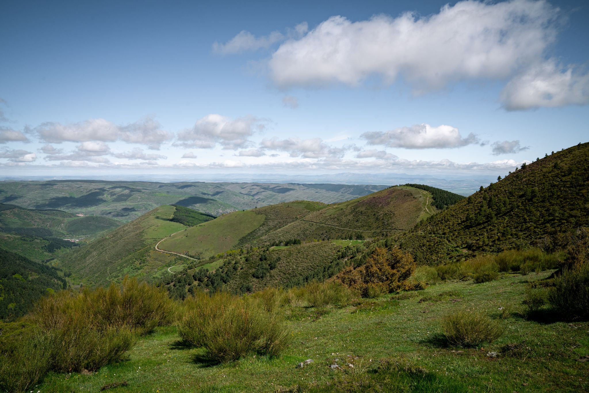
Jogging around Viniegra De Abajo offers diverse running routes through a landscape shaped by the Urbión river and the Sierra de la Demanda mountain range. The region features extensive networks of trails winding through river valleys, pine forests, and open meadows. Runners can explore varied terrain, from tranquil riverside paths to more challenging ascents towards mountain views. The area provides a natural setting for outdoor exercise, with options for different fitness levels.
Best jogging routes around Viniegra De Abajo
- The most popular jogging route is Pico Urbión Loop from Laguna Negra, an 8.3 miles (13.4 km) trail that takes 2 hours 37 minutes to complete, offering views of the Picos de Urbión.
- Another top favourite among local runners is Sierra al Pico Urbión, Picacho del Camperón y Peñas Blancas – trail running circular por el Parque Natural Laguna Negra y Circos Glaciares de Urbión, a difficult 5.1 miles (8.2 km) path. This route traverses the Parque Natural Laguna Negra y Circos Glaciares de Urbión, providing varied mountain scenery.
- Local runners also love the Castroviejo and Cueva Serena Trail, a 4.4 miles (7.1 km) trail leading through the area around Castroviejo, often completed in about 1 hour 5 minutes.
- Jogging around Viniegra De Abajo is defined by river valleys, pine forests, and mountain trails. The network offers options for different ability levels, from riverside runs to more demanding ascents.
- The routes in Viniegra De Abajo are highly rated by the komoot community with an average score of 5.0 stars from over 2 reviews. More than 190 runners have used komoot to explore Viniegra De Abajo's varied terrain.
Last updated: July 4, 2026
75
runners
13.4km
02:37
670m
670m
Hard run. Very good fitness required. Sure-footedness, sturdy shoes and alpine experience required.
5.0
(1)
6
runners
Hard run. Very good fitness required. Sure-footedness, sturdy shoes and alpine experience required.

Sign up for free
2
runners
7.06km
01:05
390m
390m
Hard run. Very good fitness required. Mostly paved surfaces. Suitable for all skill levels.
21
runners
Hard run. Very good fitness required. Mostly accessible paths. Some sure footedness required.
11
runners
19.5km
03:17
1,100m
1,100m
Hard run. Very good fitness required. Sure-footedness, sturdy shoes and alpine experience required.
Get access to more routes and recommendations from other explorers.
Sign up for free
Already have an account?
Our route recommendations are based on thousands of hikes, rides, and runs completed by other people on komoot.
Start today with a free account
Your next adventure awaits.
Login or Signup
Other adventures around Viniegra De Abajo

Tips from the Community

Laguna Larga is one of the glacial lagoons found in the Urbión Mountains, very close to the famous Laguna Negra, in the province of Soria. It's less well-known but equally impressive, and is part of a natural environment of great beauty and ecological value.
3
0
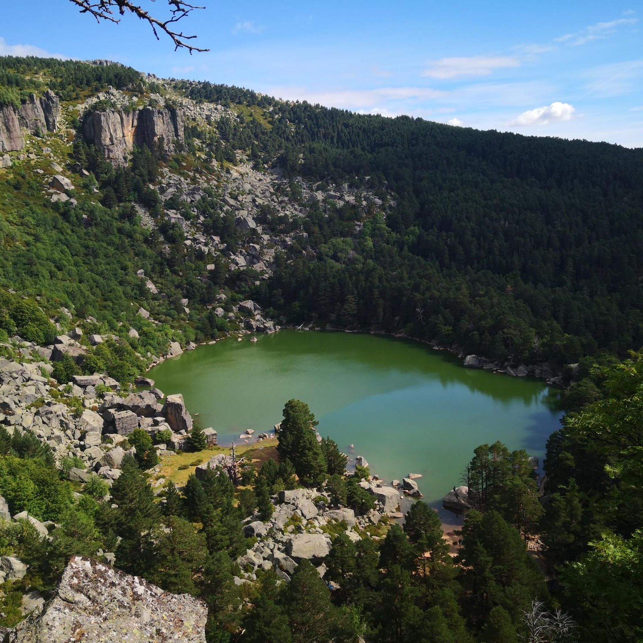
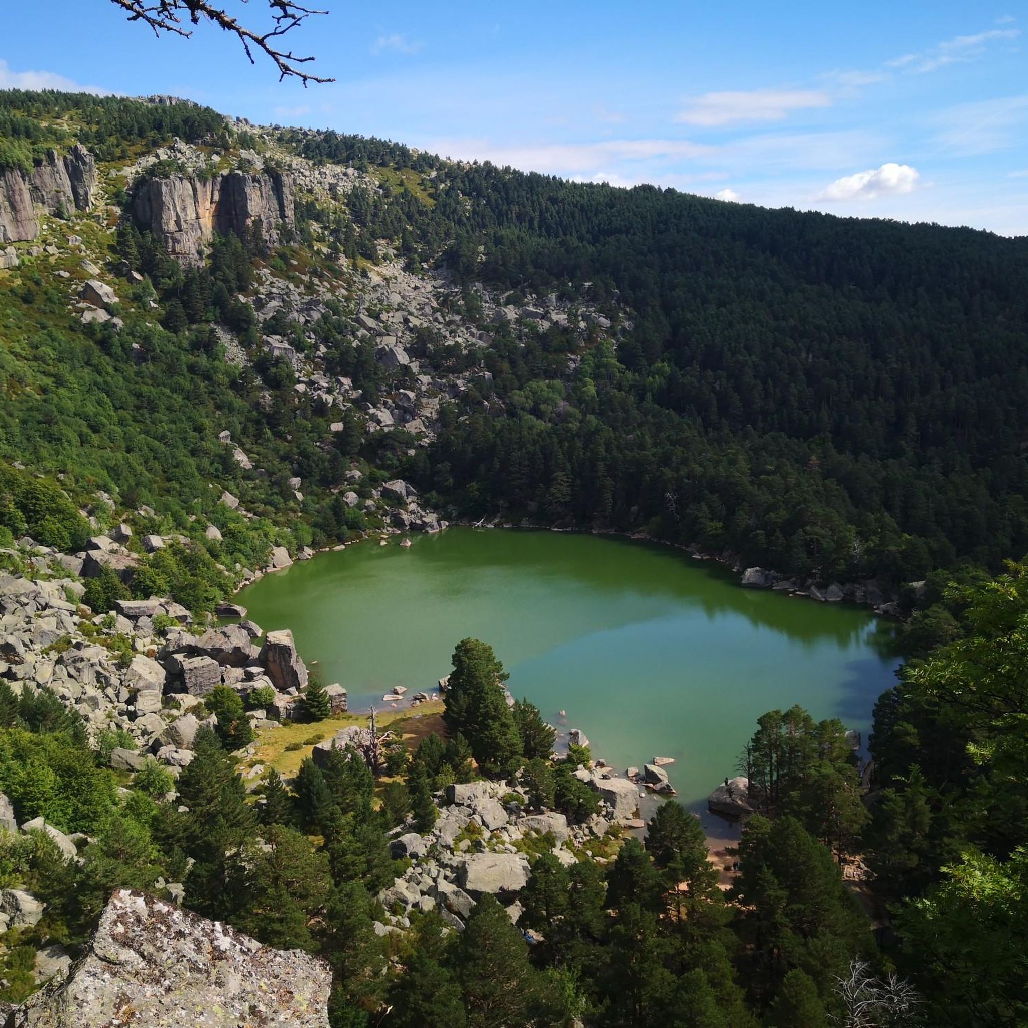
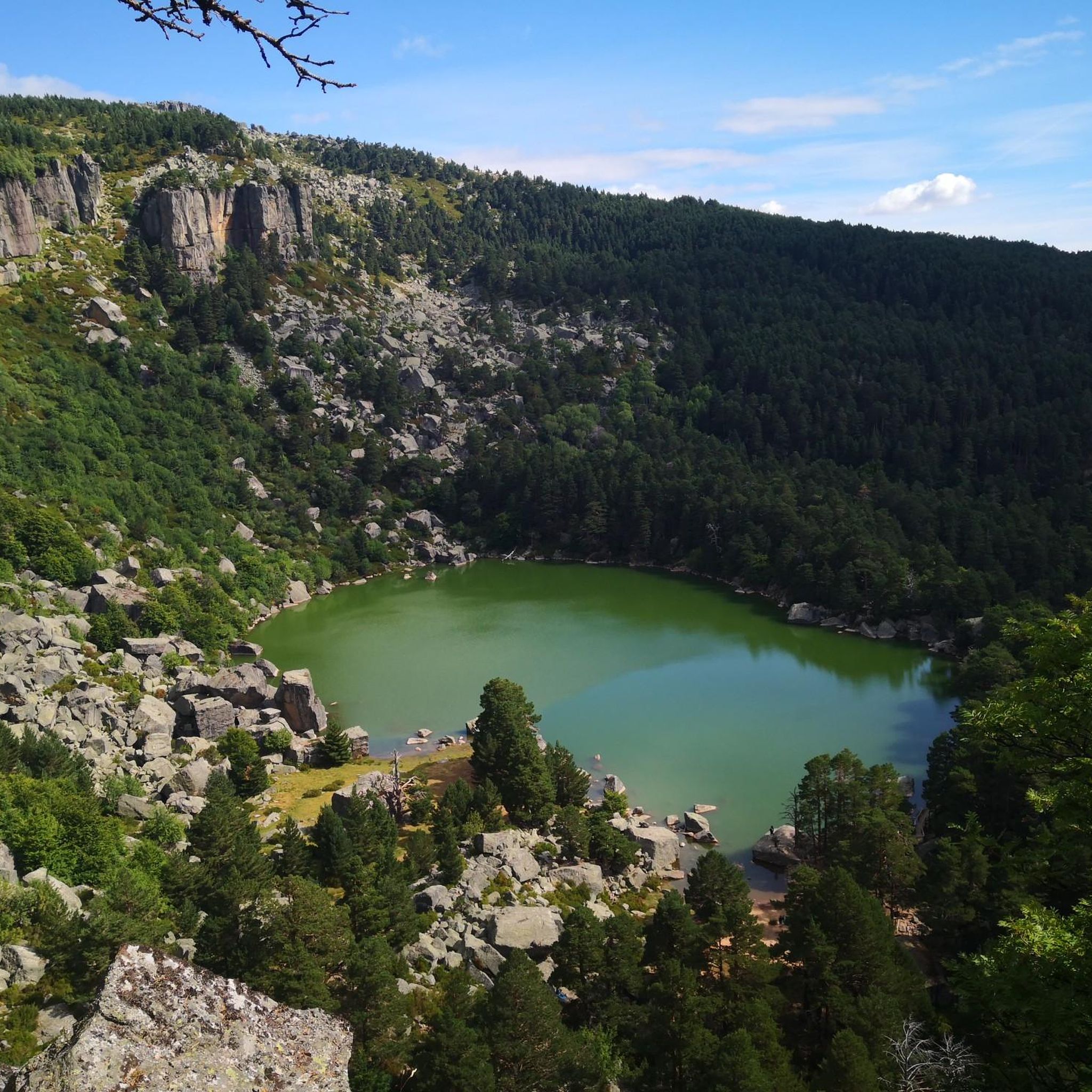
The Black Lagoon of Urbión, located in the province of Soria, within the Sierra de Urbión and Laguna Negra Natural Park, is one of the most mysterious and beautiful places in Spain. Surrounded by a dense pine forest and rocky walls, this glacial lagoon has inspired legends and literature, such as the works of Antonio Machado.
3
0
The Cueva Serena Waterfall, located in Duruelo de la Sierra (Soria), is one of the most magical and surprising spots in the Pinares de Urbión region. It's located very close to the Castroviejo area, known for its rock formations reminiscent of an enchanted city.
3
0
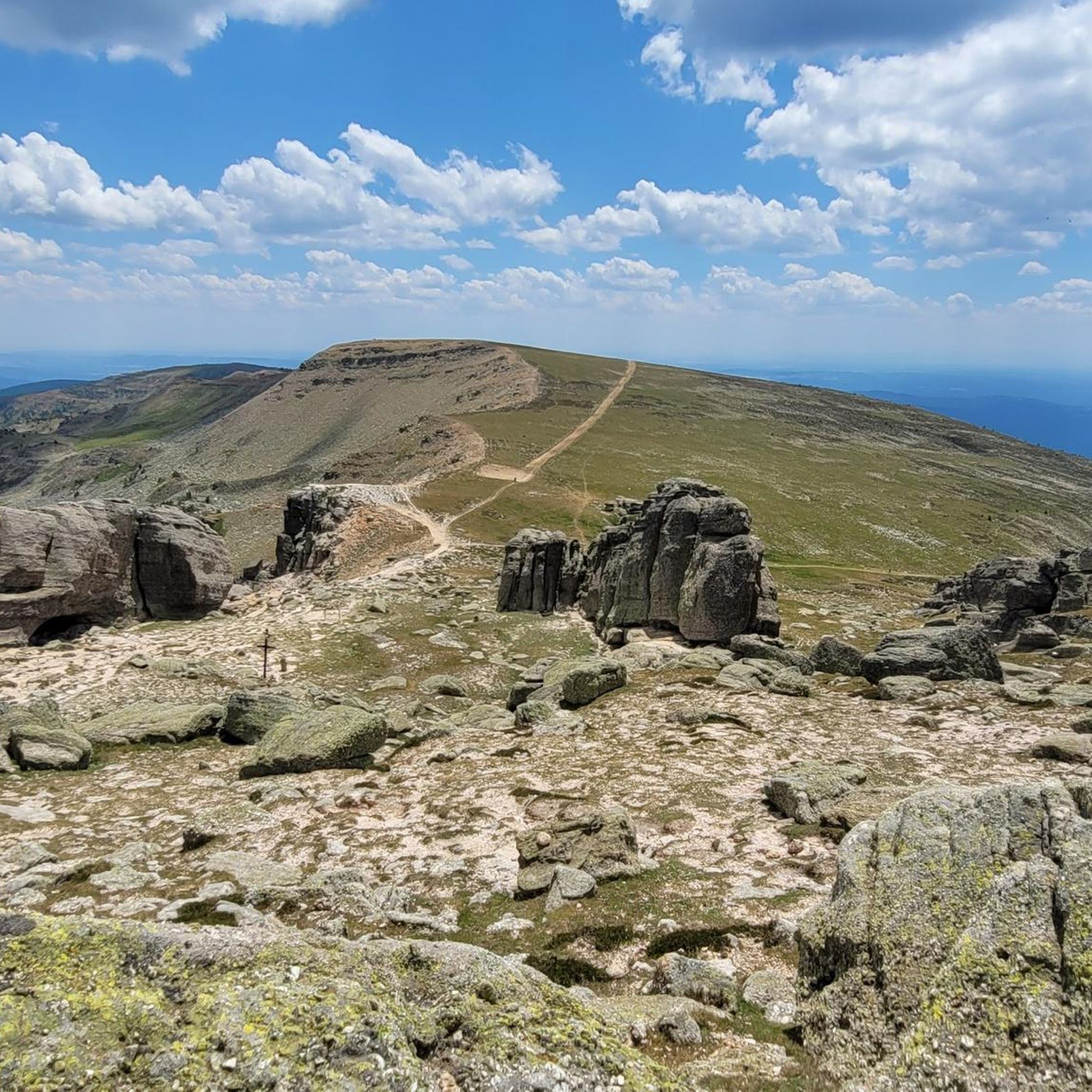
Picacho del Camperón is an impressive peak located in the Sierra de Urbión, on the border between Soria and La Rioja. At the top of Picacho del Camperón, you'll find an ice axe stuck in a rock, resembling the sword in Excalibur.
1
0

Nice area for outdoor activities.
0
0
Nice area for outdoor activities.
0
0
Nice area for outdoor activities.
0
0
Frequently Asked Questions
How many running routes are available around Viniegra De Abajo?
There are over 20 running routes around Viniegra De Abajo, offering a diverse range of experiences through river valleys, pine forests, and mountain terrain. These routes cater to various fitness levels, though many are considered challenging.
Are there any easy jogging routes suitable for beginners or families?
While many of the routes around Viniegra De Abajo are rated as difficult, there are a few moderate options available. The region's varied terrain, including tranquil riverside paths along the Urbión river and open meadows, can offer less strenuous sections for those looking for an easier run. For specific routes, it's best to check individual tour details on komoot.
What kind of natural features can I expect to see on the running trails?
Jogging routes in Viniegra De Abajo are rich in natural beauty. You'll encounter the picturesque Urbión River Valley, offering tranquil paths along its banks, and views of the Picos de Urbión. The area also features extensive pine forests and open meadows, providing diverse and shaded environments for your run. Some routes may even lead you past impressive waterfalls like Paso Peñoncito Waterfall or Cueva Serena Waterfall.
Are there any circular running routes in the area?
Yes, Viniegra De Abajo offers several circular running routes. One notable option is the challenging Pico Urbión Loop from Laguna Negra, which is 8.3 miles (13.4 km) long and provides stunning views of the Picos de Urbión. Another is the Sierra al Pico Urbión, Picacho del Camperón y Peñas Blancas – trail running circular por el Parque Natural Laguna Negra y Circos Glaciares de Urbión, a difficult 5.1-mile (8.2 km) trail.
What do other runners say about the jogging routes in Viniegra De Abajo?
The running routes in Viniegra De Abajo are highly rated by the komoot community, with an average score of 5.0 stars from over 2 reviews. More than 190 runners have used komoot to explore the varied terrain, often praising the scenic beauty of the Urbión river valley and the challenging yet rewarding mountain trails.
Can I find routes that pass by specific points of interest or landmarks?
Absolutely. Many routes offer opportunities to see interesting landmarks. For instance, the area around Castroviejo features the Castroviejo and Cueva Serena Trail. You can also find routes that lead to viewpoints like Lost Love Viewpoint, offering impressive vistas of the surrounding landscape.
Are there any long-distance running options for endurance training?
Yes, the region is connected by extensive trail networks like the GR190, which links Viniegra de Abajo to nearby villages such as Valvanera, Villoslada de Cameros, and Ventrosa. These connections provide opportunities for longer, more challenging runs suitable for endurance training. The Mansilla Reservoir Loop, though a hike, suggests the potential for extended routes in the area.
What is the best time of year for jogging in Viniegra De Abajo?
Viniegra De Abajo is ideal for outdoor activities due to its diverse landscapes. Spring and autumn generally offer pleasant temperatures and vibrant scenery, making them excellent seasons for jogging. Summer can also be good, especially for shaded forest paths or early morning/late evening runs. Winter might present more challenging conditions due to snow in higher elevations.
Are there any routes that offer views of the Mansilla Reservoir?
While not explicitly listed as a jogging route in the top selections, the Mansilla Reservoir is a significant feature in the region. Ascending to the hermitage of Santiago offers impressive views, followed by a descent towards the Mansilla Reservoir, suggesting that some longer routes or variations might incorporate views of this body of water.
What kind of terrain can I expect on the running trails?
The terrain around Viniegra De Abajo is quite varied. You'll find tranquil paths along the Urbión river, winding trails through extensive pine forests, and open meadows. Many routes also involve ascents into the Sierra de la Demanda mountain range, offering more challenging, rocky, or uneven surfaces with significant elevation changes.
Are there any shelters or huts along the running routes?
Yes, for longer runs or in case of unexpected weather, there are shelters and huts in the vicinity. Examples include El Búnker Shelter, Refugio Prao Tajo, and Fuente del Berro Shelter. These can provide a resting point or emergency shelter during your run.
Can I combine my run with exploring the local village?
Absolutely. The charming urban center of Viniegra de Abajo, with its cobbled streets and traditional architecture, including palatial houses and religious buildings made of reddish stone, offers a unique backdrop. You can easily start or end your run with a leisurely jog or walk through the village, experiencing its historical ambiance.
Most popular attractions around Viniegra De Abajo

Get inspired with the komoot mobile app


Explore more
Browse the best Running Trails & Routes in other regions.
