The best MTB trails around Breitenbrunn/Erzgebirge
4.7
(1189)
7,912
riders
85
rides
Mountain biking around Breitenbrunn/Erzgebirge offers diverse terrain within the Ore Mountains, characterized by a hilly landscape, deep forests, and varied natural features. The region provides an extensive network of trails, including dedicated infrastructure like the TrailCenter Rabenberg. Riders can navigate through mountain peaks, valleys, and impressive rock formations, making it suitable for various skill levels. This area's topography supports both challenging ascents and flowing descents.
Best mountain bike trails around Breitenbrunn/Erzgebirge
- The most popular mountain bike trail is Black Raven…
Last updated: August 31, 2026
4.7
(190)
1,210
riders
25.6km
02:41
740m
740m
Moderate mountain bike ride. Good fitness required. Suitable for all skill levels.
4.9
(98)
717
riders
18.9km
01:59
520m
520m
Explore the moderate Border Trail mountain biking route in Trailcenter Rabenberg, covering 11.7 miles with 1705 feet of elevation gain.

Sign up for free
4.8
(159)
1,053
riders
25.0km
02:29
760m
760m
Moderate mountain bike ride. Good fitness required. Advanced riding skills necessary.
4.8
(380)
2,554
riders
80.0km
07:06
1,980m
1,980m
Hard mountain bike ride. Very good fitness required. Advanced riding skills necessary.
4.8
(71)
437
riders
55.4km
04:56
1,340m
1,340m
Hard mountain bike ride. Very good fitness required. Suitable for all skill levels.
Get access to more routes and recommendations from other explorers.
Sign up for free
Already have an account?
Our route recommendations are based on thousands of hikes, rides, and runs completed by other people on komoot.
Start today with a free account
Your next adventure awaits.
Login or Signup
Popular around Breitenbrunn/Erzgebirge
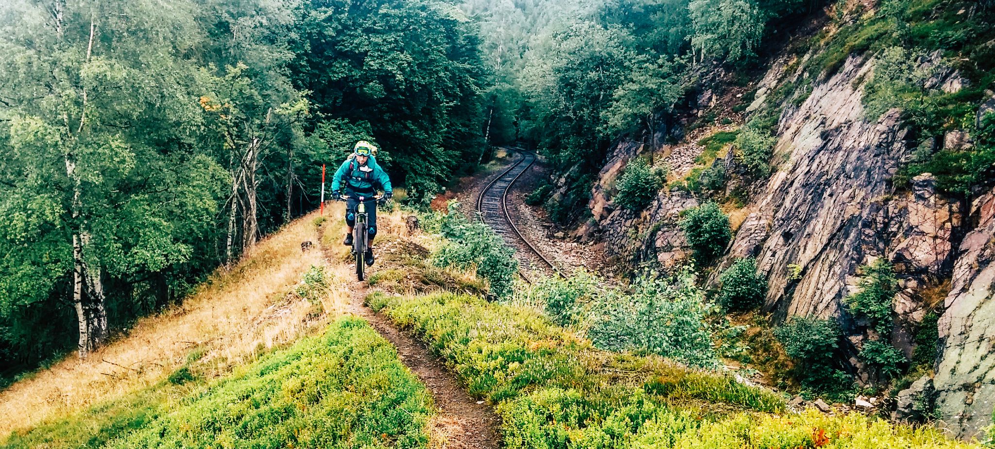
Kammweg Erzgebirge – Border adventure along the Ridgeway
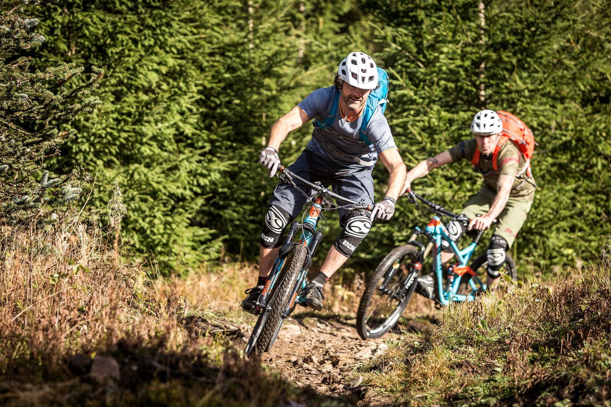
The Stoneman Trail in the Ore Mountains
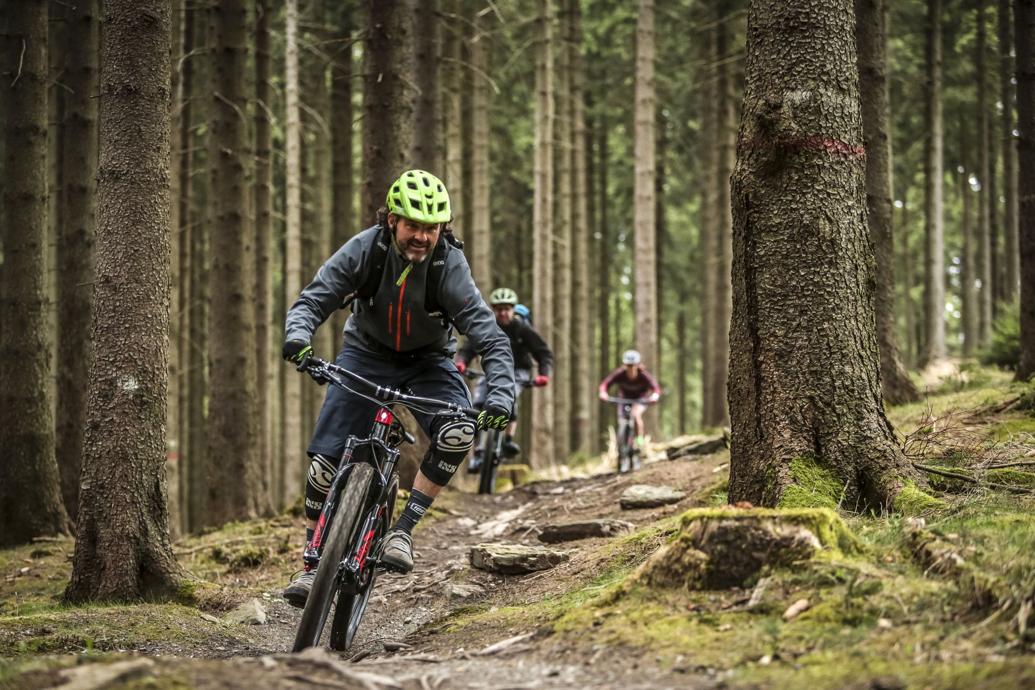
MTB adventures in Saxony
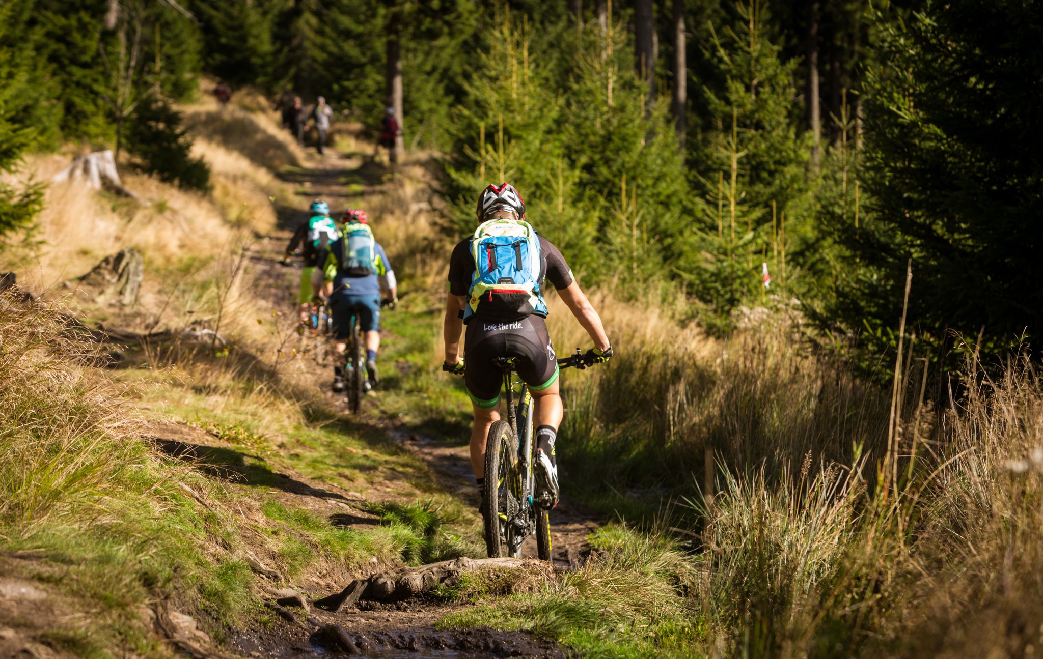
Stoneman Miriquidi MTB Gesamtstrecke (2 Tage -Silber)
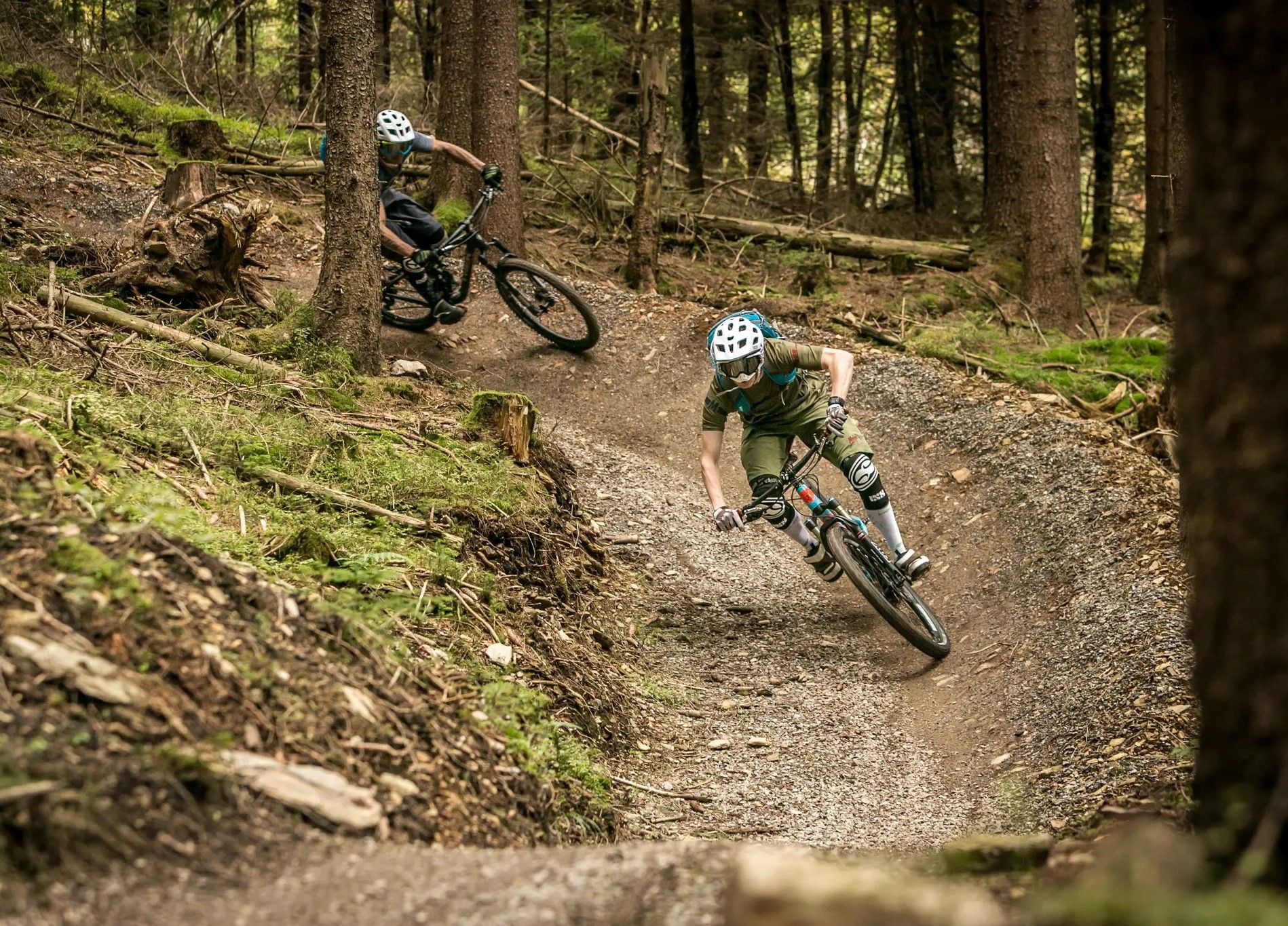
Bike parks in the heart of Germany
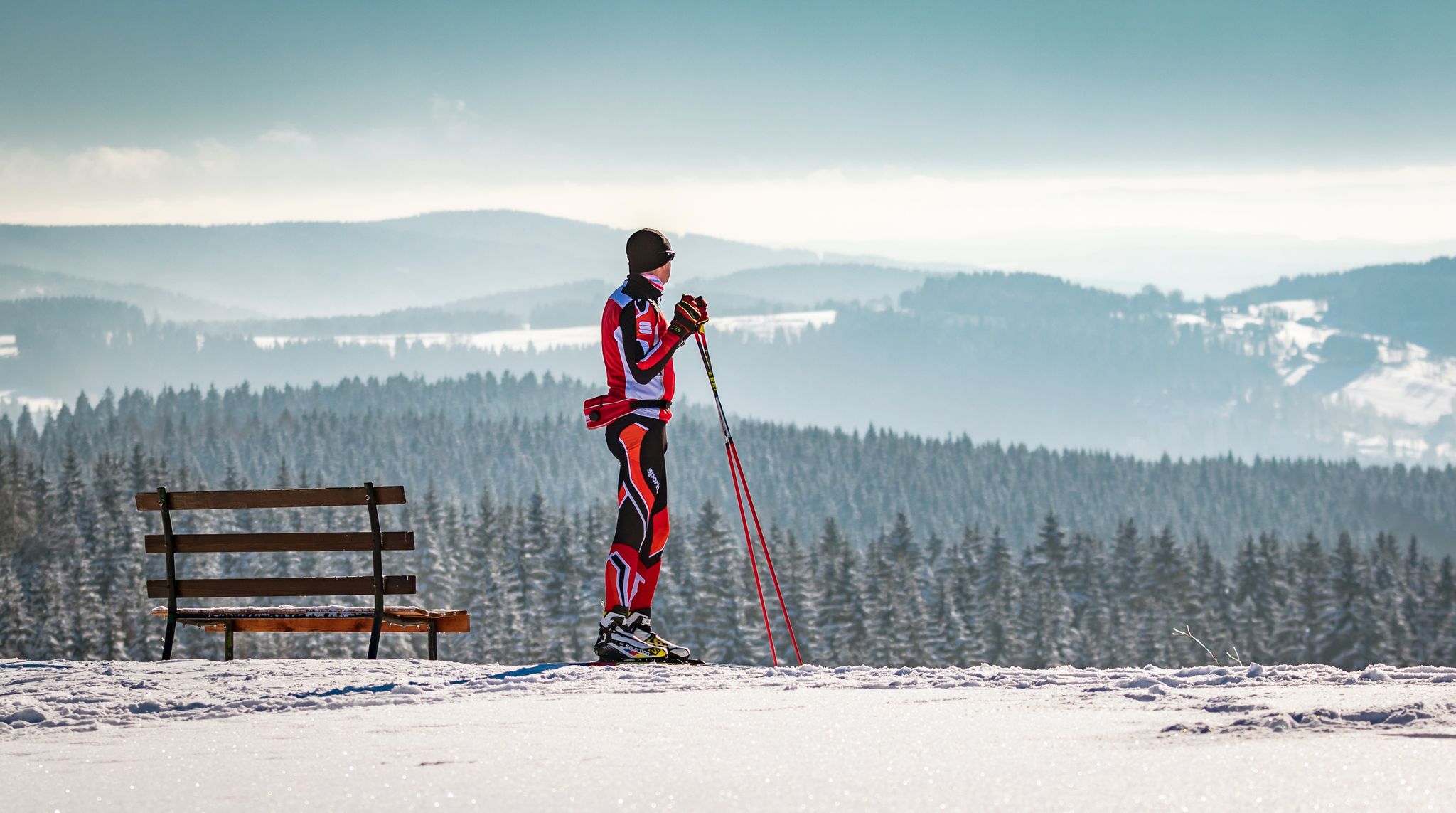
Let it flow! Cross-country skiing in the Ore Mountains

History meets nature – Erzgebirge-Vogtland Ridge Trail
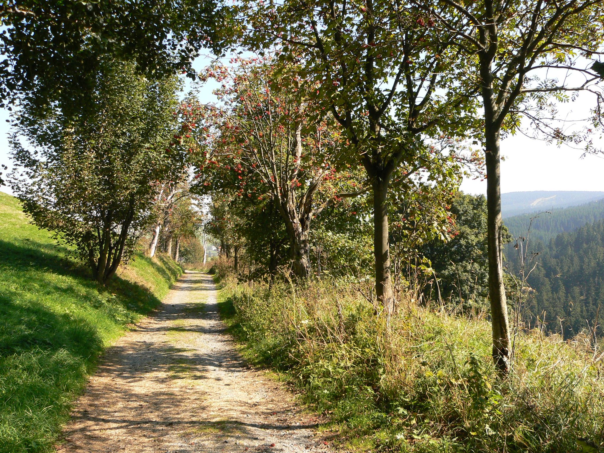
The Anton-Günther-Trail — a long weekend in the Ore Mountains

Wandertouren - Eisenbahn & Wanderstock

Wandertouren - Gipfelglück
Other adventures around Breitenbrunn/Erzgebirge


Tips from the Community

The SREM (Secundary Radar Equipment) system on the 1018m high Auersberg mountain in the Ore Mountains is one of six such systems in Germany operated by the German Air Navigation Services (DFS). It detects aircraft within a radius of approximately 270 kilometers. Wikipedia
1
0

This is a radar system operated by the German Air Traffic Control (DFS) for en-route air traffic control. The conspicuous large antenna is the primary radar. It emits radio waves that are (passively) reflected by the aircraft and received again by the antenna. The distance to the aircraft is determined from the signal's travel time. The direction of the antenna when receiving the signal indicates the angle relative to north (azimuth). This allows the position of an aircraft to be displayed as a point on the radar screen using polar coordinates (direction and distance). Above the large antenna, another antenna in the shape of a horizontal bar can be seen. This is the antenna of the secondary radar. This transmits a query to the aircraft, which is actively answered by its transponder. The identification code and barometric altitude are transmitted in response. This allows the aircraft to be identified on the radar screen and their altitude to be displayed. In combination with the aircraft's flight plan, this data is used to control air traffic. While the aircraft crew is responsible for navigation and obstacle clearance, air traffic control is responsible for maintaining the distance between aircraft and thus preventing collisions.
4
0

A truly amazing highlight. A quick photo stop is worth it.
0
0


Watch out for the barrier! Its exterior blends in so well with its surroundings that if you're inattentive for even a moment, it quickly becomes a "flying trap"... 🙄🙈
0
1


There are two routes to ride. The left one is a challenging descent over roots and rocks. The right one is a bit easier.
1
0

Frequently Asked Questions
How many mountain bike trails are there in Breitenbrunn/Erzgebirge?
There are over 80 mountain bike trails available in Breitenbrunn/Erzgebirge. These routes cater to various skill levels, from easy to difficult, ensuring options for every rider.
Are there easy mountain bike trails for beginners in Breitenbrunn/Erzgebirge?
Yes, Breitenbrunn/Erzgebirge offers a selection of easy mountain bike trails suitable for beginners. You'll find 12 routes specifically graded as easy, perfect for those new to mountain biking or looking for a more relaxed ride. The Black Raven in the Trailcenter Rabenberg, for example, offers diverse features within Germany's first official trail center, with sections suitable for varying skill levels.
What kind of terrain can I expect on mountain bike trails in Breitenbrunn/Erzgebirge?
The terrain in Breitenbrunn/Erzgebirge is diverse, characterized by a hilly landscape, deep forests, and mountain peaks within the Ore Mountains. You can expect varied natural features, including berms, waves, kickers, timber trails, stone fields, wooden bridges, and gullies, especially within the dedicated TrailCenter Rabenberg. The area's topography supports both challenging ascents and flowing descents.
Are there family-friendly mountain bike routes in Breitenbrunn/Erzgebirge?
Yes, the region offers family-friendly options. The "BLOCKLINE" is an adventure mountain bike route suitable for children from eight years old, featuring exciting loops through scenic landscapes, unique rock formations, lush mountain meadows, and idyllic streams. While not explicitly listed in the top routes, many of the easier trails provide a great experience for families.
What are some challenging mountain bike trails for advanced riders?
For advanced riders seeking a challenge, Breitenbrunn/Erzgebirge has 22 difficult mountain bike trails. Routes like the Old Pöhlberg Bobsleigh Track – View from Pöhlberg loop from Rittersgrün, covering over 80 km with significant elevation gain, offer demanding experiences. The TrailCenter Rabenberg also features trails like the "Angry Nun" with technical challenges requiring advanced skills.
What natural features or landmarks can I see along the mountain bike trails?
You can encounter various natural features and landmarks. The Schwarzwasser Valley is rich with trails along the Schwarzwasser river, featuring impressive waterfalls and gorges. You might also come across geological formations like the Eispinge (Ice Pit) or historical sites such as the Herkules-Frisch-Glück Show Mine. The Magic Moments Trail – Hog Mountain Caroussel loop from Erlabrunn, for instance, leads through the scenic Ore Mountains.
Are there mountain bike trails with scenic views in Breitenbrunn/Erzgebirge?
Absolutely. The region is known for its picturesque landscapes. The Border Trail offers varied terrain and scenic views along the border region. Additionally, the Pöhlberg Mountain, at 832 meters above sea level, provides breathtaking views of the surrounding valley, and routes around it often include visits to historical sights like the Pöhlberg tower.
What do other mountain bikers enjoy most about mountain biking in Breitenbrunn/Erzgebirge?
The area is highly rated by the komoot community, with an average score of 4.7 stars from over 1000 reviews. Reviewers often praise the diverse terrain, the extensive network of trails, and the stunning natural features within the picturesque Ore Mountains, making it suitable for various skill levels.
Are there any long-distance mountain biking challenges in the area?
Yes, Breitenbrunn is part of larger, challenging routes. These include the "Stoneman Miriquidi," a demanding tour covering 2 countries, 9 summits, and 4,400 meters of altitude, and the "Kammweg Erzgebirge," a border adventure along the ridgeway. These offer significant challenges for experienced long-distance riders.
Can I find circular mountain bike routes in Breitenbrunn/Erzgebirge?
Yes, many mountain bike routes in the region are designed as loops, allowing you to start and end at the same point. For example, the French Line – Rabenberg Trail Center loop from Rittersgrün is a challenging circular route, and the TrailCenter Rabenberg itself features named loops like the "Peak Orbiter" and "Two Mountains Loop".
What is the best time of year to go mountain biking in Breitenbrunn/Erzgebirge?
The best time to visit for mountain biking is generally from spring through autumn. During these seasons, the weather is typically more favorable, and the trails are in optimal condition. The region's deep forests and varied terrain offer beautiful scenery throughout these months.
Most popular routes around Breitenbrunn/Erzgebirge
Most popular attractions around Breitenbrunn/Erzgebirge

Get inspired with the komoot mobile app


Explore more
Browse the best MTB trails in other regions.
