The best road cycling routes around A Lama
4.7
(4)
170
riders
25
rides
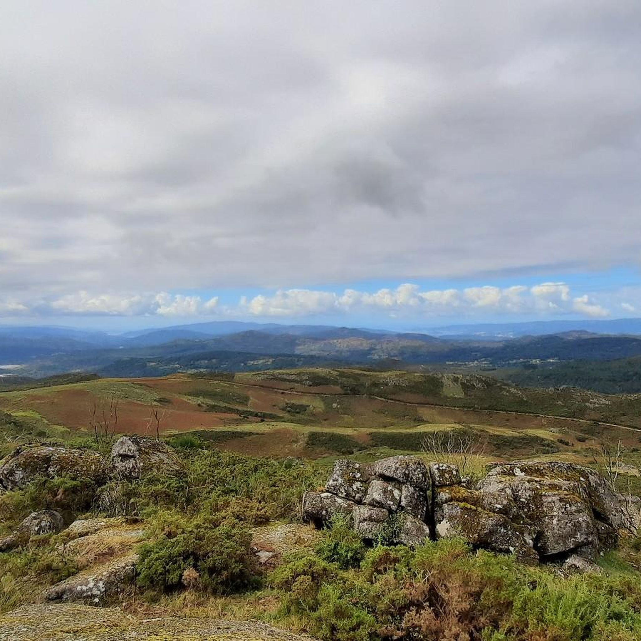
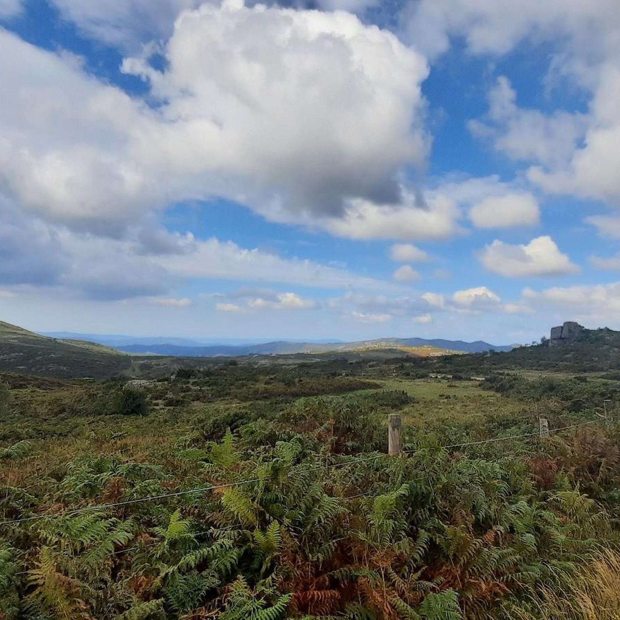
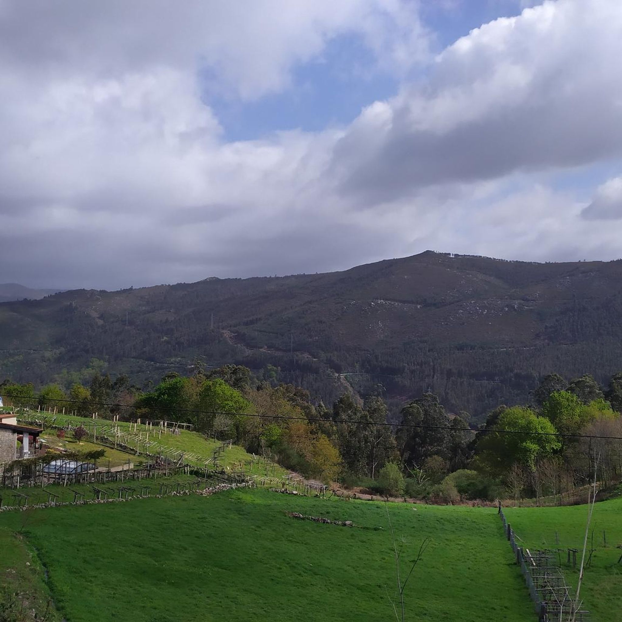
Road cycling routes around A Lama are characterized by varied terrain, including significant elevation changes and scenic natural features. The region features routes that traverse areas like the Serra do Cando and Parque Monte de Seixo, indicating hilly or mountainous landscapes. Road cyclists can expect paths that wind through natural areas and along rivers, offering diverse riding experiences. The area provides options for different skill levels, from moderate climbs to more challenging ascents.
Best road cycling routes around A Lama
…Last updated: July 15, 2026
5.0
(1)
38
riders
46.4km
02:26
850m
850m
This moderate 28.8-mile road cycling route in Cotobade explores the scenic Lerez and Almofrei Rivers, featuring historical bridges and natur
12
riders
33.5km
01:42
480m
480m
This moderate 20.8-mile road cycling route near Ponte Caldelas offers scenic views, historical landmarks, and tranquil eucalyptus plantation

Sign up for free
3
riders
64.3km
03:27
1,160m
1,160m
Hard road ride. Very good fitness required. Mostly well-paved surfaces and easy to ride.
12
riders
24.2km
01:20
470m
470m
Moderate road ride. Good fitness required. Mostly well-paved surfaces and easy to ride.
7
riders
34.1km
01:42
500m
500m
Moderate road ride. Good fitness required. Mostly well-paved surfaces and easy to ride.
Get access to more routes and recommendations from other explorers.
Sign up for free
Already have an account?
Our route recommendations are based on thousands of hikes, rides, and runs completed by other people on komoot.
Start today with a free account
Your next adventure awaits.
Login or Signup
Popular around A Lama
Tips from the Community

Good area for a bike ride
0
0


El batho salvaje en Carballedo. The natural pool, which captures the waters of the Almofrei River, is a great place to cool off on a warm summer day.
0
0
Wild swimming is a pleasure, you must try it. This place, like many in Pontevedra, is well maintained and accessible to the public bathroom. You must jump on a warm summer afternoon.
1
0
After walking along the Verdugo River, it is worth planning a wild swim at the Ponte Caldelas River Beach. Great place to have a picnic after exploring this area of Pontevedra.
0
0

The hermitage of Lourdes, located a few meters from Ponte Borela, on the Almofrei river, in the parish of Borela. Small rectangular building with a single nave. It is very common in Galicia to build small hermitages next to old bridges, almost forcing travelers to stop and offer prayers and gifts for a blessed journey.
2
0
Stone bridge over the Almofrei river in the Borela parish, Cotobade. Unfortunately, the bridge was replaced by a newer bridge built for vehicular traffic, but it was built very close to the original structure, which detracted from its beauty.
1
0
Frequently Asked Questions
How many road cycling routes are available around A Lama?
There are over 25 road cycling routes around A Lama, offering a diverse range of experiences for cyclists. The komoot community has explored these routes over 130 times, highlighting the area's appeal.
What are the typical difficulty levels for road cycling in A Lama?
Road cycling routes in A Lama cater to various fitness levels. You'll find a mix of challenges, with approximately 18 moderate routes and 9 difficult routes. There is also at least one easy route available for those seeking a more relaxed ride.
What kind of terrain can I expect on road cycling routes around A Lama?
The terrain around A Lama is characterized by significant elevation changes, winding through hilly or mountainous landscapes like the Serra do Cando and Parque Monte de Seixo. Routes often traverse natural areas and follow river valleys, providing varied and scenic riding experiences.
Are there any notable landmarks or natural attractions along the road cycling routes?
Yes, several routes pass by interesting landmarks and natural features. You might encounter the Barragán River, the historic Almofrei Stone Bridge, or the Three Estuaries Viewpoint. Other points of interest include the Borela Bridge and the Verdugo River Beach.
What do other road cyclists enjoy most about cycling in A Lama?
The komoot community highly rates the road cycling in A Lama, with an average score of 4.5 stars. Cyclists often praise the varied terrain, the significant elevation changes that offer a good challenge, and the scenic natural parks and river valleys that make for a rewarding ride.
Are there any circular road cycling routes available?
Yes, many routes in A Lama are designed as loops, allowing you to start and finish in the same location. For example, the Ponte Caldelas and Cotobade Loop is a popular moderate option, and the Borela Bridge loop from Pontevedra also offers a circular experience.
What is the best time of year for road cycling in A Lama?
While specific seasonal weather data isn't provided, the region's varied terrain and natural features suggest that spring and autumn would likely offer pleasant temperatures and vibrant scenery for road cycling. Summer might be warm, and winter could bring cooler, potentially wetter conditions, depending on the specific elevation.
Are there routes suitable for families or beginners?
While many routes feature significant elevation changes, there is at least one easy route available. For families or beginners, it's advisable to check the difficulty grade and elevation profile of specific routes, such as the Ponte Caldelas and Cotobade Loop, which is rated moderate but offers a manageable distance.
Where can I find parking for road cycling routes in A Lama?
While specific parking locations are not detailed for every route, many cycling routes in regions like A Lama typically have starting points near towns or villages where public parking might be available. For routes like the Borela Bridge loop from Pontevedra, starting from a larger town like Pontevedra would likely offer more parking options.
Are there any cafes or places to stop for refreshments along the routes?
The guide data does not specifically list cafes or pubs along the routes. However, as many routes pass through or near local towns and villages, it is common to find establishments for refreshments. Planning your route with a map that shows towns will help identify potential stops.
What is the longest road cycling route in A Lama?
One of the longer and more challenging routes is the Parque Monte de Seixo and Sierra de Cando Vuelta, which spans nearly 40 miles (64.3 km) and includes over 3,700 feet of elevation gain, typically taking around 3 hours and 27 minutes to complete.
Can I find routes that offer a significant climbing challenge?
Absolutely. Road cycling in A Lama is known for its significant elevation changes. Routes like the Route through the Serra do Cando and feature over 2,700 feet of elevation gain over 28.8 miles, providing a substantial workout for climbers.
Most popular routes around A Lama
Most popular attractions around A Lama

Get inspired with the komoot mobile app


Explore more
Browse the best Road cycling routes in other regions.
