The best walks and hikes around Breitenbach am Herzberg
4.6
(1995)
7,066
hikers
59
hikes
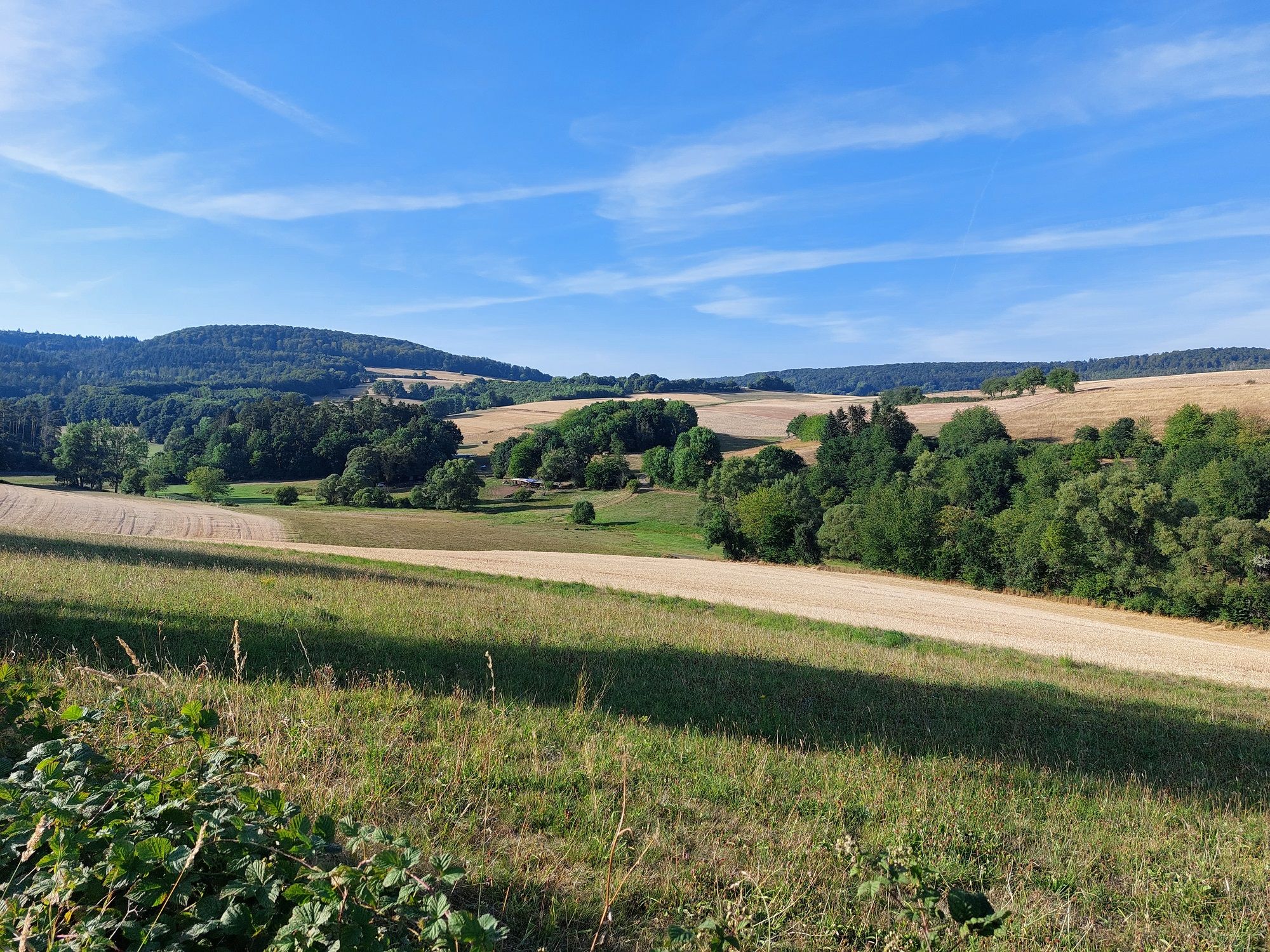
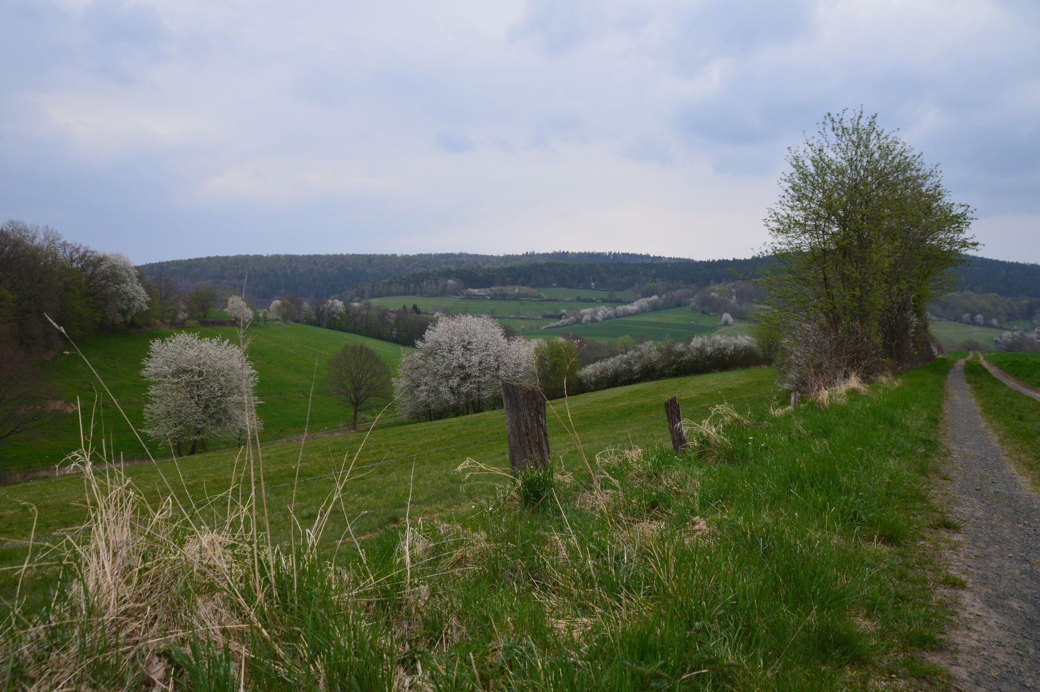
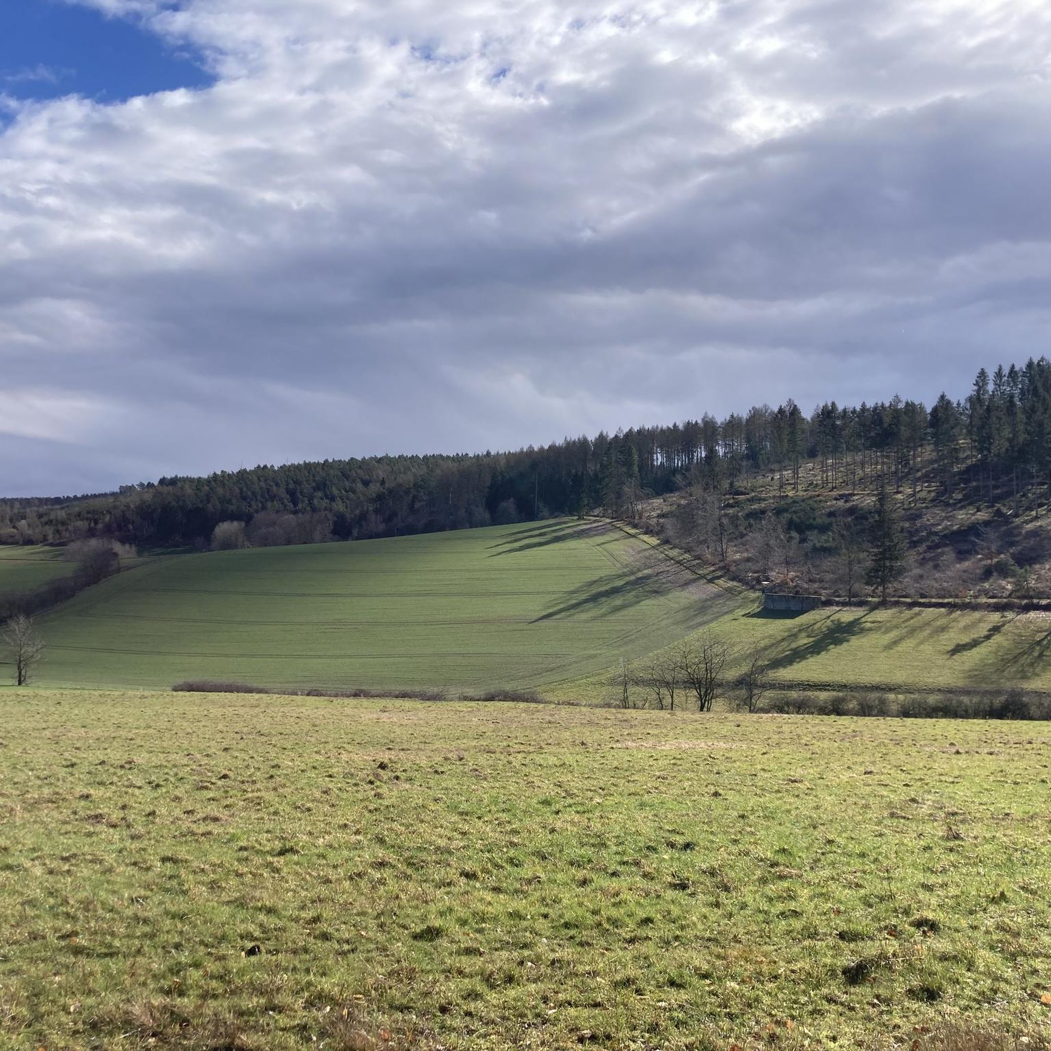
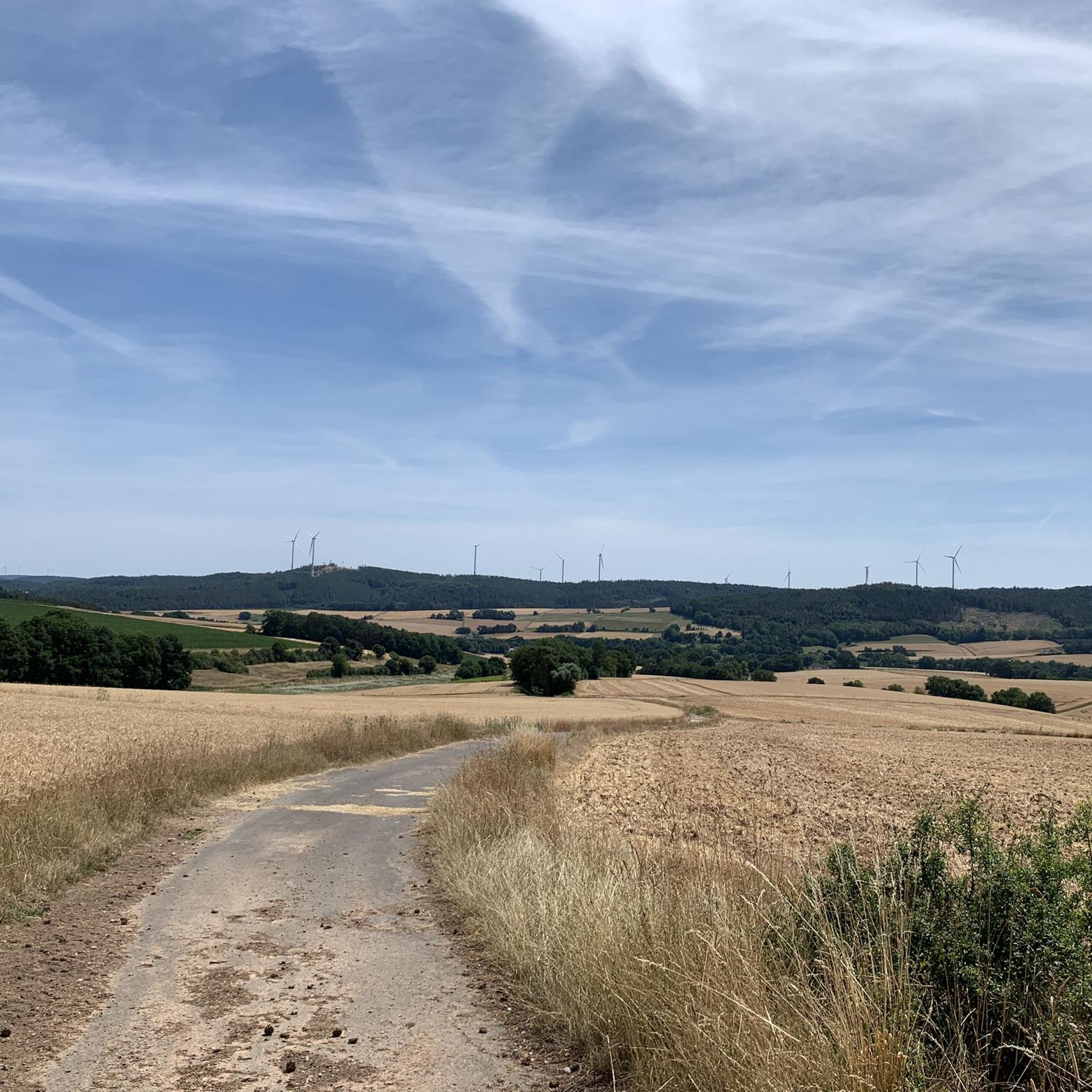
Hiking around Breitenbach am Herzberg offers diverse landscapes characterized by rolling hills, dense forested areas, and picturesque valleys carved by brooks. The region is situated at the foot of Mount Herzberg and the Rimberg, both part of the southern Knüllgebirge range, with the highest point in the municipal area reaching 529 meters. Trails often traverse the Jossa valley and its side valleys, providing varied natural scenery for outdoor exploration.
Best hiking trails in Breitenbach am Herzberg
- The most popular hiking…
Last updated: July 1, 2026
4.7
(47)
195
hikers
13.5km
03:58
370m
370m
Moderate hike. Good fitness required. Mostly accessible paths. Sure-footedness required.
4.0
(9)
24
hikers
4.91km
01:26
140m
140m
Easy hike. Great for any fitness level. Easily-accessible paths. Suitable for all skill levels.

Sign up for free
4.5
(17)
45
hikers
6.55km
01:49
120m
120m
Easy hike. Great for any fitness level. Easily-accessible paths. Suitable for all skill levels.
4.3
(4)
9
hikers
7.22km
02:02
150m
150m
Moderate hike. Good fitness required. Easily-accessible paths. Suitable for all skill levels.
10
hikers
6.86km
01:59
170m
170m
Easy hike. Great for any fitness level. Easily-accessible paths. Suitable for all skill levels.
Get access to more routes and recommendations from other explorers.
Sign up for free
Already have an account?
Our route recommendations are based on thousands of hikes, rides, and runs completed by other people on komoot.
Start today with a free account
Your next adventure awaits.
Login or Signup
Popular around Breitenbach am Herzberg
Premium hiking trails in the Knüll Nature Park
Fabelwege - Premium hiking in Knüll nature park
Cycling around Breitenbach am Herzberg
MTB Trails around Breitenbach am Herzberg
Running Trails around Breitenbach am Herzberg
Road Cycling Routes around Breitenbach am Herzberg

Gravel biking around Breitenbach am Herzberg
Other adventures around Breitenbach am Herzberg

Tips from the Community

Benches around the Pilgerkreuz invite you to rest and inner contemplation.
0
0
Ideal starting point for a hike on the "Herzberger Ritter".
0
0
Parking for guests of the Burgschänke. Campers can also find a pitch here for a fee.
0
0
Small bench for a short rest before heading up to the castle.
0
0
Small bench with a beautiful view.
0
0
Small hut that offers shelter in bad weather. The table invites you to have a snack.
0
0

One of many beautiful viewpoints around Breitenbach.
2
0
A beautiful parking area in Breitenbach am Herzberg, ideal for hiking or cycling through the southern part of the Knüll Nature Park.
1
0
Frequently Asked Questions
How many hiking trails are available in Breitenbach am Herzberg?
Breitenbach am Herzberg offers a comprehensive network of over 60 hiking trails. These routes cater to various skill levels, including 35 easy, 23 moderate, and 4 more challenging paths, ensuring options for every hiker.
Are there easy hiking trails suitable for beginners or families?
Yes, Breitenbach am Herzberg has 35 easy trails perfect for beginners or families. An excellent option is the Herzberg Castle – View of Herzberg Castle loop from Burg Herzberg, an easy 5.3 km path that offers scenic views of the historic Herzberg Castle.
What kind of landscapes can I expect to see while hiking in Breitenbach am Herzberg?
The region is characterized by diverse landscapes, including rolling hills, dense forested areas, and picturesque valleys carved by brooks like the Labach and Breitenbach. You'll find trails traversing the Jossa valley and its side valleys, offering varied natural scenery and often leading to stunning panoramic viewpoints.
Are there any historical landmarks or castles to explore on the trails?
Absolutely. The area is rich in history. You can explore the impressive Herzberg Castle, a significant landmark built between 1290 and 1298. Another historical site is Pfifferling Castle, which can be incorporated into routes like the popular 'Pfifferling Castle – Panoramic Viewpoint Kaltenkopf loop'.
Are there any circular hiking routes in Breitenbach am Herzberg?
Many trails in Breitenbach am Herzberg are designed as circular routes. For example, the View of Herzberg Castle – Herzberg Castle loop from Burg Herzberg is a 6.6 km loop through forested areas, offering views of the castle. Another option is the Herzberg Castle – Chapel at Herzberg Castle loop from Burg Herzberg, an easy 6.5 km trail.
What do other hikers say about the trails in Breitenbach am Herzberg?
The trails in Breitenbach am Herzberg are highly regarded by the komoot community, with an average rating of 4.7 stars from over 370 reviews. Hikers often praise the well-maintained paths, the diverse scenery, and the rewarding panoramic views from spots like Kaltenkopf and Eulenkopf.
Are there any trails that offer particularly good viewpoints?
Yes, several trails lead to excellent panoramic viewpoints. Mount Herzberg itself provides breathtaking views of the town and its surroundings. Specific routes like the 'Pfifferling Castle – Panoramic Viewpoint Kaltenkopf loop' and the 'Bench with a view of Eulenkopf – View from Eulenkopf loop' are known for their stunning vistas.
Can I find moderate difficulty trails for a longer hike?
Yes, there are 23 moderate trails available. A popular choice is the "Herzberger Ritter" - Fable path, Premium hiking trail, which is a 13.5 km route that typically takes around 4 hours to complete. Another moderate option is the Eichberg – Silbersee loop from Breitenbach am Herzberg, covering 7.4 km.
Are there any other interesting attractions near the hiking routes?
Beyond the main trails, you can find other points of interest. For example, the Heussner Tower on the Mengshäuser Kuppe and the Ibraer Kuppe Shelter and Viewpoint offer additional scenic spots. The Lutherweg 1521, a historical path, also passes through the area.
What is the highest point I can reach on a hike in Breitenbach am Herzberg?
The highest point within the municipal area of Breitenbach am Herzberg is 529 meters above sea level, located on the slopes of the Rimberg. Many trails offer ascents that lead to elevated positions, providing expansive views over the region.
Are there any trails that pass by water features?
The region is characterized by picturesque valleys carved by brooks like the Labach and Breitenbach. While specific routes highlighting major waterfalls aren't detailed, many trails will follow or cross these natural watercourses, offering pleasant riverside sections.
Most popular routes around Breitenbach am Herzberg
Most popular attractions around Breitenbach am Herzberg

Get inspired with the komoot mobile app


Explore more
Browse the best Hikes in other regions.
