The best running trails around Lozoya
4.6
(15)
875
runners
62
runs
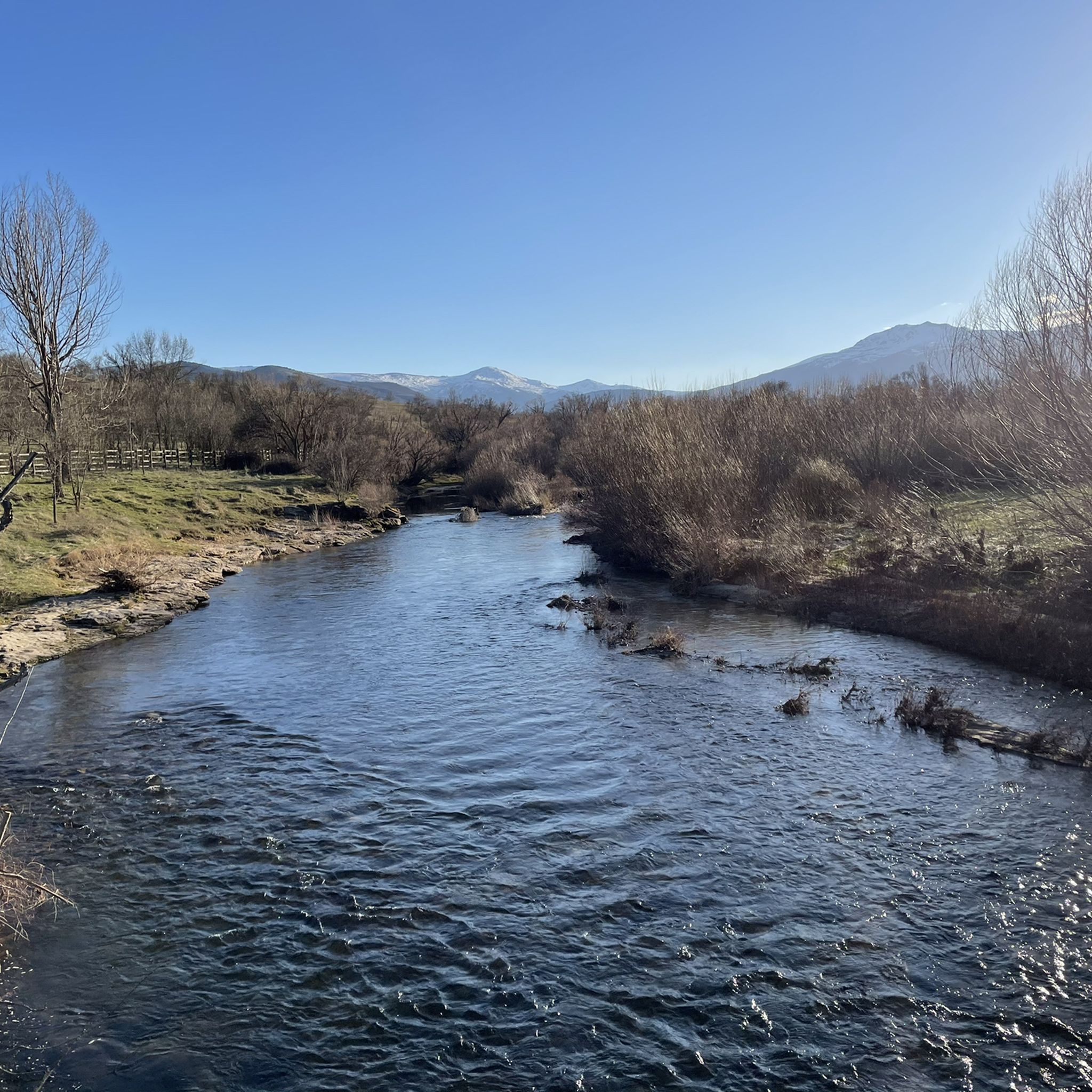
Jogging routes around Lozoya are set within the Sierra de Guadarrama National Park, offering diverse terrain for runners. The region features the picturesque Lozoya Valley with the River Lozoya, providing peaceful runs through poplar groves and past reservoirs like Pinilla. Varied forested areas, including pine and oak, offer shaded paths, while mountain passes such as Puerto de Canencia present challenging ascents and descents with panoramic views. The area combines paved tracks, accessible paths, and technical winding trails, catering to different running preferences.
Best jogging routes around Lozoya
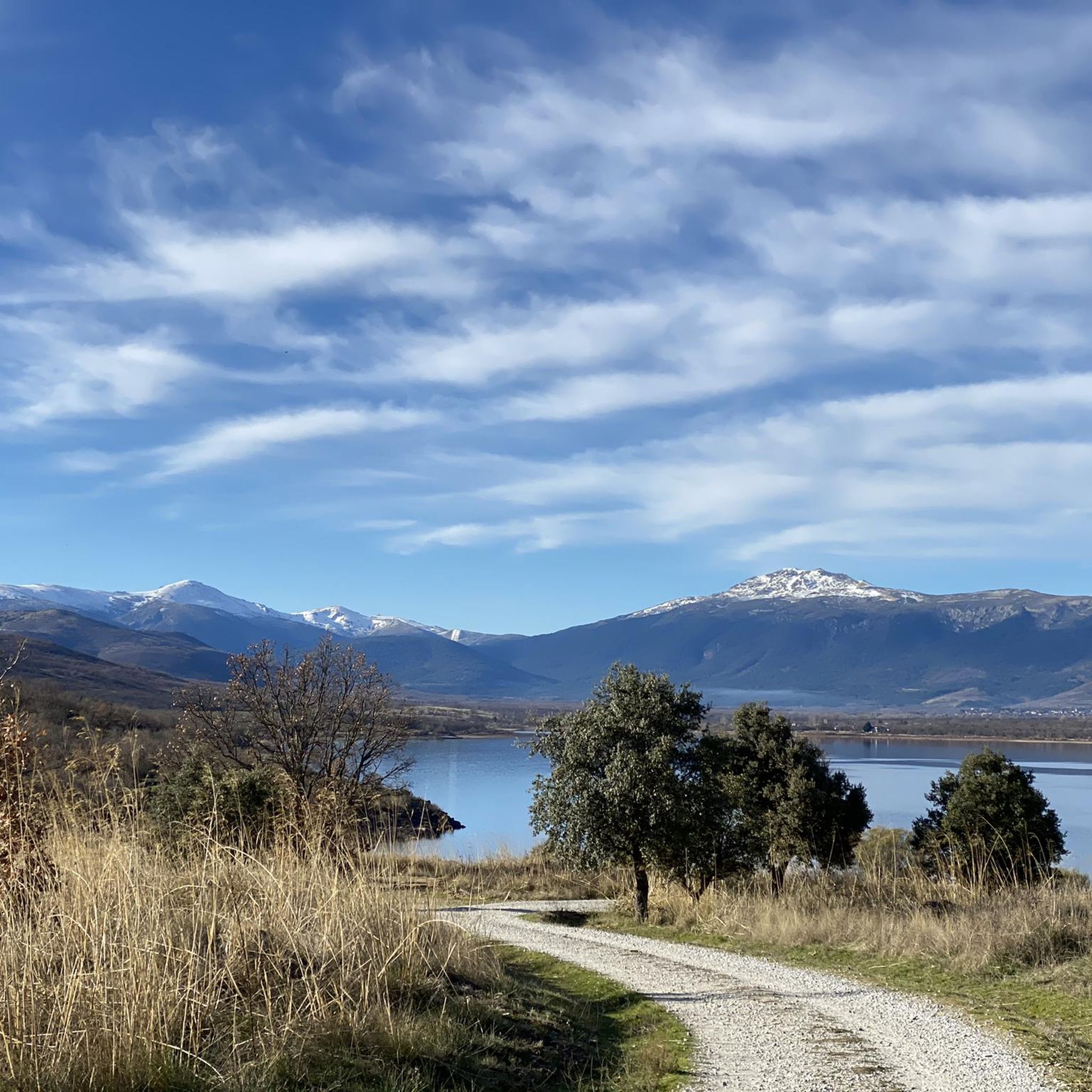
- The most popular jogging route is Embalse de Pinilla – running circular from Lozoya, a 9.9 miles (15.9 km) trail that takes 1 hour 44 minutes to complete. This route offers views of the Pinilla Reservoir and surrounding landscapes.
- Another top favourite among local runners is Pico del Nevero and Lagunillas Loop from Puerto de Navafría, a difficult 4.7 miles (7.5 km) path. This trail features significant elevation gain through mountain terrain.
- Local runners also love the Navafría Pass – Nevero Peak loop from Puerto de Navafría, a 7.2 miles (11.6 km) trail leading through mountain passes and peaks, often completed in about 1 hour 53 minutes.
- Jogging around Lozoya is defined by river valleys, diverse forests, and challenging mountain passes. The network offers options for different ability levels, from gentle runs to more demanding trails.
- The routes in Lozoya are highly rated by the komoot community with an average score of 4.6 stars from over 9 reviews. More than 600 runners have used komoot to explore Lozoya's varied terrain.
Last updated: August 17, 2026
36
runners
15.9km
01:44
100m
100m
Hard run. Very good fitness required. Mostly accessible paths. Some sure footedness required.
8
runners
7.52km
01:24
420m
420m
Hard run. Very good fitness required. Sure-footedness, sturdy shoes and alpine experience required.

Sign up for free
19
runners
11.6km
01:54
480m
480m
Hard run. Very good fitness required. Sure-footedness, sturdy shoes and alpine experience required.
12
runners
8.28km
00:52
60m
60m
Moderate run. Good fitness required. Mostly paved surfaces. Suitable for all skill levels.
8
runners
7.52km
01:25
430m
430m
Hard run. Very good fitness required. Sure-footedness, sturdy shoes and alpine experience required.
Get access to more routes and recommendations from other explorers.
Sign up for free
Already have an account?
Our route recommendations are based on thousands of hikes, rides, and runs completed by other people on komoot.
Start today with a free account
Your next adventure awaits.
Login or Signup

Tips from the Community

Watch out for the asphalt on the descent, there are potholes and the surface is quite uneven. You won't even notice it on the climb.
0
0

Beautiful viewpoint of the Pinilla reservoir
0
0

Place of extraordinary beauty, especially in spring with snow and water.
0
0

highest peak of the Carpetanos Mountains, beautiful
0
0
nice corner to enjoy the views
0
0
Pico del Nevero, the highest of the Carpetanos Mountains, with beautiful views.
0
0
El Nevero is one of the highest and most important mountains in the Guadarrama Mountains, at 2,209 meters above sea level. It is located on the border between the Community of Madrid and the Province of Segovia. As it forms part of the Guadarrama Mountains National Park, access to it by bicycle is prohibited, as fines may apply.
0
0
Frequently Asked Questions
How many running routes are available in the Lozoya region?
Lozoya offers a wide selection of routes for runners, with over 50 different trails to explore. These range from gentle paths along the river to challenging mountain ascents, catering to various fitness levels.
Are there any easy or beginner-friendly jogging routes in Lozoya?
Yes, while many routes are more challenging, there are 3 easy trails suitable for beginners or those looking for a relaxed run. These typically follow the picturesque Lozoya Valley or river paths, offering a gentler experience.
What kind of terrain can I expect on Lozoya's running trails?
The terrain in Lozoya is incredibly varied. You'll find everything from paved tracks and accessible paths along the Lozoya River and reservoirs to more technical winding trails through diverse forests and challenging mountain passes within the Sierra de Guadarrama National Park.
Are there any circular running routes in Lozoya?
Absolutely! Many of Lozoya's running paths are circular, allowing you to start and finish in the same location. A popular option is the Embalse de Pinilla – running circular from Lozoya, which offers beautiful views of the reservoir.
What are some notable natural features or landmarks I can see while running in Lozoya?
Lozoya's routes are rich with natural beauty and historical sites. You can run alongside the scenic Lozoya River, past reservoirs like Pinilla, and through diverse forests. Notable landmarks include the historic Monastery of El Paular and the impressive Nevero Peak. You might also encounter charming villages like Rascafría.
What do other runners say about the trails in Lozoya?
The running routes in Lozoya are highly regarded by the komoot community, boasting an average rating of 4.6 out of 5 stars from numerous reviews. Runners often praise the diverse landscapes, from tranquil river paths to challenging mountain trails, and the stunning views of the Sierra de Guadarrama.
Are there any running routes that offer panoramic views?
Yes, for breathtaking vistas, consider routes that venture into the higher elevations. Trails around mountain passes like Navafría Pass or those leading to peaks such as Pico del Nevero offer spectacular panoramic views of the Lozoya Valley and the surrounding Sierra de Guadarrama.
Can I find routes that pass through forests for shaded runs?
Absolutely. Lozoya is known for its diverse forested areas, including centennial Pyrenean oak groves, pine forests, and mixed woodlands. These provide excellent shaded paths, especially welcome during warmer months. Many trails along the Lozoya Valley wind through these refreshing natural environments.
Are there any longer running challenges available in Lozoya?
For those seeking a longer endurance run, Lozoya offers several options. The Bridge Over the Lozoya River – View of the Pinilla Reservoir loop from Pinilla del Valle is a challenging 19.5 km route that provides a significant distance and elevation gain.
What is the best season for running in Lozoya?
Lozoya offers great running opportunities year-round, but each season has its charm. Spring and autumn provide pleasant temperatures and vibrant scenery with blooming flowers or colorful foliage. Summer offers shaded forest trails, while winter can transform the higher mountain passes into a snowy wonderland for experienced trail runners.
Are there any routes that explore the Lozoya River?
The Lozoya River is central to the region's beauty, and many trails follow its course. You'll find peaceful runs through poplar groves and past agricultural lands, often with views of the river and nearby streams. The Bridge Over the Lozoya River – View of the Pinilla Reservoir loop from Pinilla del Valle is a great example of a route that highlights the river.
Most popular attractions around Lozoya

Get inspired with the komoot mobile app


Explore more
Browse the best Running Trails & Routes in other regions.
