The best running trails around Pinilla Del Valle
4.7
(18)
1,008
runners
74
runs
Jogging routes Pinilla Del Valle are set within the Sierra de Guadarrama, offering a diverse natural environment for runners. The region features extensive forests of oaks, holm oaks, and Scots pine, alongside meadows with ash and poplar trees. Routes often follow the Lozoya River, which feeds into the prominent Pinilla Reservoir, or ascend towards higher elevations within the Sierra de Guadarrama National Park. This landscape provides varied backdrops and shaded paths for running.
Best jogging routes around Pinilla Del Valle
…Last updated: October 14, 2026
34
runners
15.9km
01:44
100m
100m
Hard run. Very good fitness required. Mostly accessible paths. Some sure footedness required.
8
runners
7.52km
01:24
420m
420m
This difficult 4.7-mile jogging route to Pico del Nevero offers panoramic views and passes glacial lagoons in Sierra de Guadarrama.

37
runners
10.0km
01:11
40m
40m
Moderate run. Good fitness required. Mostly paved surfaces. Suitable for all skill levels.
20
runners
11.3km
01:51
470m
470m
Hard run. Very good fitness required. Sure-footedness, sturdy shoes and alpine experience required.
12
runners
8.28km
00:52
60m
60m
Moderate run. Good fitness required. Mostly paved surfaces. Suitable for all skill levels.
Get access to more routes and recommendations from other explorers.
Already have an account?
Our route recommendations are based on thousands of hikes, rides, and runs completed by other people on komoot.
Start today with a free account
Your next adventure awaits.

Tips from the Community

Watch out for the asphalt on the descent, there are potholes and the surface is quite uneven. You won't even notice it on the climb.
0
0

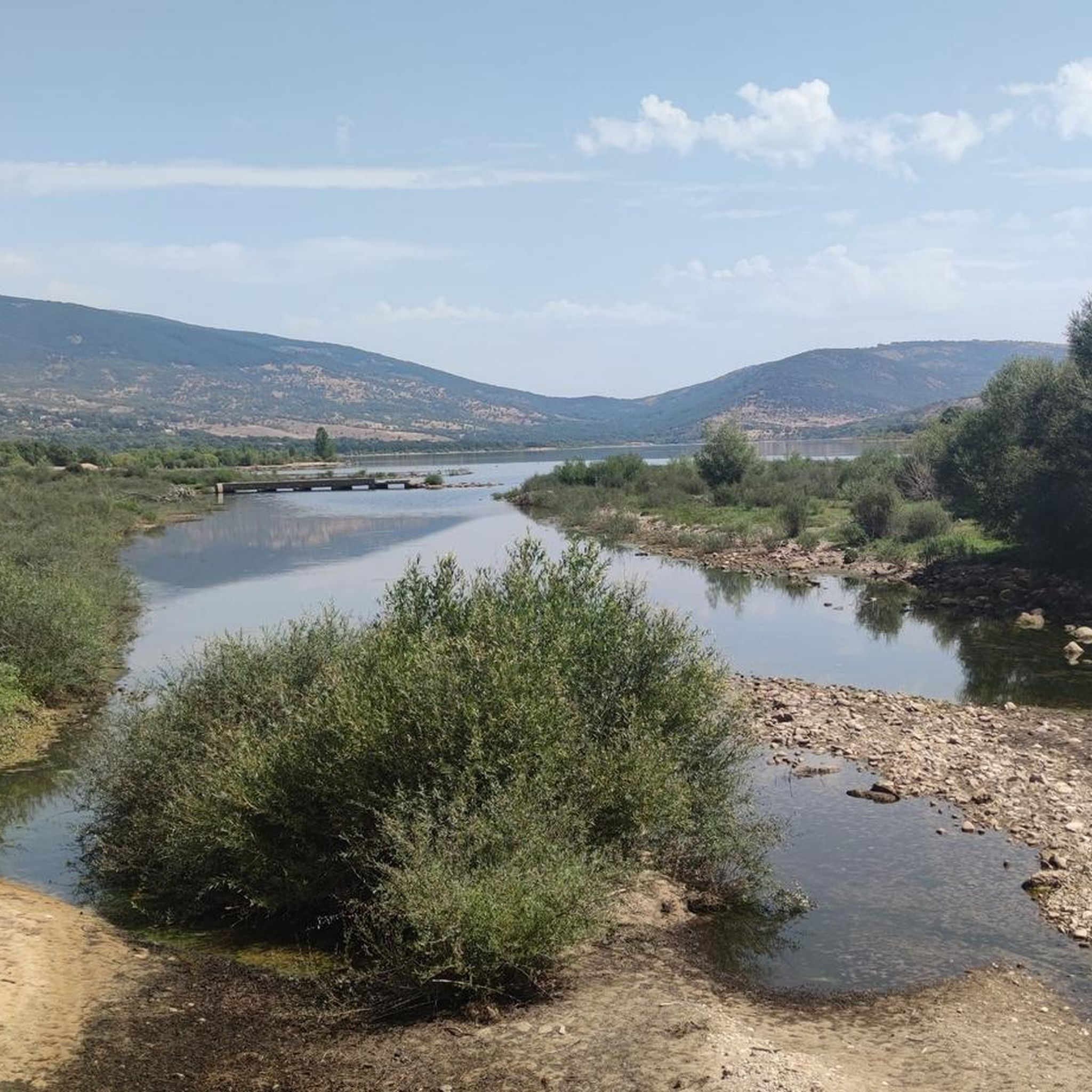
Beautiful viewpoint of the Pinilla reservoir
0
0

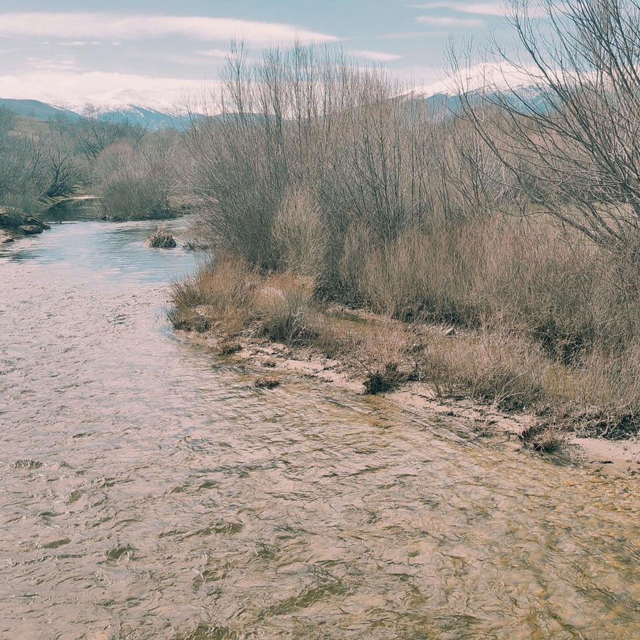
Place of extraordinary beauty, especially in spring with snow and water.
0
0

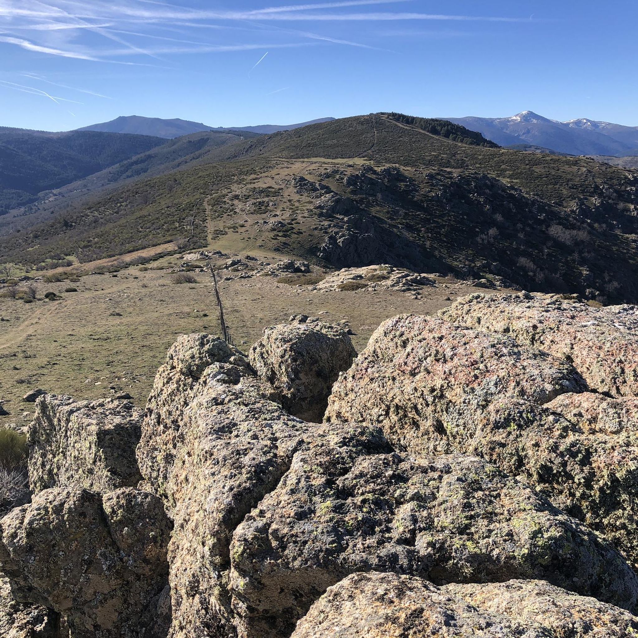
highest peak of the Carpetanos Mountains, beautiful
0
0
nice corner to enjoy the views
0
0
Pico del Nevero, the highest of the Carpetanos Mountains, with beautiful views.
0
0
El Nevero is one of the highest and most important mountains in the Guadarrama Mountains, at 2,209 meters above sea level. It is located on the border between the Community of Madrid and the Province of Segovia. As it forms part of the Guadarrama Mountains National Park, access to it by bicycle is prohibited, as fines may apply.
0
0
Frequently Asked Questions
How many running routes are available in Pinilla Del Valle?
Pinilla Del Valle offers a wide selection of routes for runners, with over 50 different trails to explore. These range from easier paths to more challenging mountain ascents, catering to various fitness levels.
What makes Pinilla Del Valle a good place for running?
Pinilla Del Valle is nestled in the Sierra de Guadarrama, providing a diverse natural environment. Runners can enjoy routes through extensive forests of oaks and Scots pine, along the picturesque Lozoya River, and around the prominent Pinilla Reservoir Viewpoint. The area is also part of the Sierra de Guadarrama National Park, ensuring preserved natural beauty and varied backdrops for your run.
What do other runners say about the trails in Pinilla Del Valle?
The running routes in Pinilla Del Valle are highly rated by the komoot community, with an average score of 4.6 stars from 9 reviews. Over 700 runners have used komoot to explore the region's varied terrain, often praising the scenic views and diverse landscapes.
Are there options for different fitness levels among the running trails?
Yes, Pinilla Del Valle offers routes for various abilities. While many trails are quite challenging (45 difficult routes), there are also 8 moderate and 2 easy paths available, ensuring options for both seasoned runners and those looking for a more relaxed jog.
Can I find circular running routes in the area?
Absolutely. Many of the trails in Pinilla Del Valle are circular, allowing you to start and finish at the same point. A popular option is the Embalse de Pinilla – running circular from Lozoya, which offers scenic views around the reservoir.
Which running routes offer the best scenic views?
For breathtaking vistas, consider the Pico del Nevero and Lagunillas Loop from Puerto de Navafría. This trail provides panoramic views of the Lozoya Valley, Cuerda Larga, Peñalara Massif, and other surrounding mountain ranges from Nevero Peak. The Embalse de Pinilla – running circular from Lozoya also offers picturesque views around the reservoir.
Are there any challenging running trails for experienced runners?
Yes, Pinilla Del Valle is known for its challenging mountain terrain. Routes like the Mondalindo loop from Puerto de Canencia, which covers 11.7 miles (18.8 km) with significant elevation gain, are perfect for experienced runners seeking a demanding workout. Another difficult option is the Claveles Crag – Peñalara Peak loop from Rascafría.
What natural features can I expect to see while running?
You'll encounter a rich tapestry of natural elements. Routes often traverse extensive forests of oaks, holm oaks, and Scots pine, as well as meadows with ash and poplar trees. The prominent Pinilla Reservoir Viewpoint and the Lozoya River are central features, along with the higher peaks of the Sierra de Guadarrama, offering diverse and beautiful scenery.
Are there any interesting landmarks or points of interest along the running routes?
While running, you can discover several points of interest. The Pinilla Reservoir Viewpoint is a notable landmark. For those interested in the region's history, the area is home to the Cueva de los Calveros (Valle de los Neandertales), an archaeological site, and the restored 18th-century Molino del Navazo (or de la Marotera) flour mill.
Are there any running routes that go near lakes or natural pools?
Yes, the region is characterized by its connection to water. Many routes, such as the Embalse de Pinilla – running circular from Lozoya, circle the large Pinilla Reservoir Viewpoint. You might also find routes that pass near other water features like Las Presillas Natural Pools, which are popular for cooling off.
Can I find long-distance running trails in Pinilla Del Valle?
For runners looking for longer distances, Pinilla Del Valle offers several extensive routes. The Claveles Crag – Peñalara Peak loop from Rascafría is a significant challenge at over 21 miles (33.9 km), while the Embalse de Pinilla – running circular from Lozoya covers nearly 10 miles (15.9 km).
Are there any running routes suitable for families or beginners?
While many routes are challenging, there are easier options available. The rural settlement itself, with its intertwined paths, offers less strenuous choices. Look for the 2 routes categorized as 'easy' in the area, which are generally more suitable for families or those new to trail running.
Most popular routes around Pinilla Del Valle
Most popular attractions around Pinilla Del Valle

Get inspired with the komoot mobile app


Explore more
Browse the best Running Trails & Routes in other regions.
