The 6 Most Amazing Peaks around Horcajo de la Sierra-Aoslos
Best mountain peaks around Horcajo de la Sierra-Aoslos are found within the Sierra Norte region of the Community of Madrid, Spain. This municipality, situated at 1,068 meters, serves as a starting point for exploring significant elevations in the broader Sierra Norte. The area features a mountainous landscape with oak and pine forests, meadows, and various hiking opportunities. Notable elevations include Alto de la Pinilla, also known as Pico Cebollera Nueva, which stands at 1834 meters.
Best mountain peaks around Horcajo…
Last updated: July 8, 2026
Pico Tres Provincias (Cebollera Vieja)
Highlight • Summit
Translated by Google •
Tip by

Puerto de la Puebla
Highlight • Mountain Pass
Translated by Google •
Tip by

Sign up now to discover places like this
Get recommendations on the best single tracks, peaks, & plenty of other exciting outdoor places.
Sign up for free
Goat Rock
Highlight • Summit
Translated by Google •
Tip by

Pico Porrejón
Highlight • Summit
Translated by Google •
Tip by

Peña Quemada Peak
Highlight • Summit
Translated by Google •
Tip by

Sign up for free to discover even more peaks around Horcajo de la Sierra-Aoslos.
Sign up for free
Already have an account?
Start today with a free account
Your next adventure awaits.
Login or Signup
Popular around Horcajo de la Sierra-Aoslos


Tips from the Community

Accessible peak and spectacular views
0
0

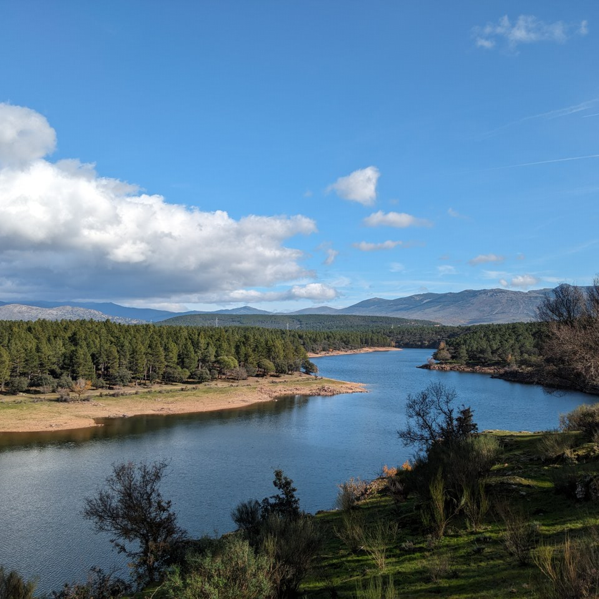
A privileged place to admire the surrounding landscape.
0
0
Technically simple ascent and you have a spectacular view from the summit.
0
0
The Tres Provincias Peak is at the northern vertex of the province of Madrid, exactly at the top point of its triangular map. At this point Madrid joins Guadalajara and Segovia. The landscape seen in all directions is spectacular.
0
0

Peña Cebollera, Cebollera Vieja or peak of the Three Provinces is a mountain located at the end of the main and western ranges of the Ayllón mountain range, in the Central System of the Iberian Peninsula. With an altitude of 2128 m above sea level, it is the point of confluence of the limits of the Spanish provinces of Madrid, Guadalajara and Segovia, marked with a monolith at the top. It rises above the port of Somosierra, a key passage in the communications of central Spain, and the town of the same name, the most immediate access point for hikers making the ascent. To access Peña Cebollera from the Sierra del Rincón by mtb you must do so by first climbing the Collado del Mosquito
0
0

La Puebla, a port with two slopes, has a rough start but before the second kilometer it softens.
2
1

The summit of Pico Porrejón is a curious exhibition of the geological components that give uniqueness to the reliefs of the Sierra del Rincón Biosphere Reserve, a compact block of metamorphic rocks of gneiss and micacite with a strong projection of quartzite and slate subjected to the Consequences of gelivation, which is a form of periglacial erosion on the rocky scree, the water enters the cracks and, due to the effect of ice-thaw, creates the striking blades, ridges and stone passageways that abound in the Ayllón massifs.
1
0
The port of Puebla is at an altitude of 1,630 meters and connects the population of Puebla de la Sierra and the towns of Prádena del Rincón, Montejo de la Sierra and La Hiruela. It has a car park and is the starting point for the ascents to Picos del Porrejón (1,824 m) and Peña de la Cabra (1,831 m).
1
0
Frequently Asked Questions
What are the most notable mountain peaks and passes around Horcajo de la Sierra-Aoslos?
The region offers several significant elevations. Pico Tres Provincias (Cebollera Vieja) stands out as a summit at 2128 m, marking the confluence of three provinces. Another popular spot is Puerto de la Puebla, a mountain pass known for its incredible views. You can also find accessible summits like Goat Rock, offering expansive views of the surrounding landscape.
Is there a challenging mountain peak for experienced hikers near Horcajo de la Sierra-Aoslos?
Yes, **Alto de la Pinilla**, also known as Pico Cebollera Nueva, is a prominent peak at 1834 meters in the western Sierra de Ayllón. A circular route from Horcajo de la Sierra to this peak is a demanding 16 km hike with steep ascents, requiring good physical preparation. It's not recommended for beginners.
Do any of the mountain peaks have historical significance?
Yes, Alto de la Pinilla (Pico Cebollera Nueva) holds historical importance. Its summit features the ruins of old field fortifications from the Spanish Civil War (1936-39), erected by national forces as part of the "Somosierra Front." This offers a unique glimpse into Spain's past amidst natural beauty.
What kind of natural features can I expect to see on the peaks?
The peaks and surrounding areas are rich in natural beauty. You'll find diverse ecosystems including beautiful birch and pine forests on the slopes leading to peaks like Alto de la Pinilla. Peaks such as Pico Porrejón showcase unique geological components like gneiss, micacite, quartzite, and slate, with striking blades and stone passageways formed by periglacial erosion.
Are there easier, local hiking trails around Horcajo de la Sierra-Aoslos?
Beyond the more challenging ascents, the municipality offers several local routes suitable for walking and enjoying nature. Examples include "Ascending the Arroyo del Valle" and "La Dehesa Boyal de Horcajo de la Sierra." These trails allow visitors to explore local flora, fauna, and the area's ethnographic heritage through oak and pine forests, and meadows.
What makes Pico Tres Provincias (Cebollera Vieja) a unique destination?
Pico Tres Provincias (Cebollera Vieja) is unique because its summit, at 2128 m, marks the exact point where the Spanish provinces of Madrid, Guadalajara, and Segovia converge. A monolith at the top signifies this geographical meeting point, offering expansive views from its elevated position.
What outdoor activities can I do near these mountain peaks?
The mountainous landscape around Horcajo de la Sierra-Aoslos is ideal for various outdoor activities. You can find numerous routes for hiking, cycling, and running. For detailed hiking options, explore the Hiking around Horcajo de la Sierra-Aoslos guide. If you prefer cycling, check out the Cycling around Horcajo de la Sierra-Aoslos guide, or for running, the Running Trails around Horcajo de la Sierra-Aoslos guide.
What is the best time to visit Horcajo de la Sierra-Aoslos for hiking in the mountains?
The region can be enjoyed across different seasons. Spring and autumn generally offer pleasant temperatures for hiking, with vibrant foliage or blooming wildflowers. Summer can be warm, so early morning hikes are advisable. For challenging peaks like Alto de la Pinilla, check weather conditions carefully, especially outside of peak summer months, as higher elevations can experience colder temperatures and unpredictable weather.
Are there good viewpoints among the peaks around Horcajo de la Sierra-Aoslos?
Yes, many of the peaks and passes offer excellent viewpoints. Puerto de la Puebla is specifically highlighted for its incredible views from both sides of the road. Goat Rock also provides a privileged spot to admire expansive surrounding landscapes. From Alto de la Pinilla, you can expect panoramic views of the Sierra Norte.
What do visitors enjoy most about the mountain peaks in this area?
Visitors appreciate the varied hiking terrain and the opportunities to explore the Sierra Norte. The panoramic views from summits like Pico Tres Provincias and the historical significance of sites like Alto de la Pinilla are highly valued. The tranquil atmosphere and natural beauty, including oak and pine forests, also contribute to a rewarding experience.
Are there any specific geological formations worth seeing on the peaks?
Yes, Pico Porrejón is a prime example. Its summit displays a curious exhibition of geological components, including metamorphic rocks of gneiss and micacite with quartzite and slate. The effects of gelivation (ice-thaw erosion) have created striking blades, ridges, and stone passageways, making it a fascinating spot for those interested in geology.
What is the elevation of Peña Quemada Peak and what views does it offer?
Peña Quemada Peak features a geodesic point. From this location, you can see the Segovian side of the Sierra, offering a different perspective of the surrounding mountain range.
Most popular routes around Horcajo de la Sierra-Aoslos
Most popular attractions around Horcajo de la Sierra-Aoslos

Get inspired with the komoot mobile app


Explore more
See even more amazing summits around Horcajo de la Sierra-Aoslos with these guides:
