The best road cycling routes around Navaconcejo
4.3
(24)
2,136
riders
55
rides
Road cycling around Navaconcejo, located in the Jerte Valley, offers routes through mountainous terrain on the southern slopes of the Sierra de Gredos. The region features a dramatic topography with significant elevation changes, including peaks like Peña Cuqueña and Peña Negra. The Río Jerte flows through the area, creating gorges and natural pools. This landscape provides varied road cycling routes suitable for different experience levels.
Best road cycling routes around Navaconcejo
- The most popular road cycling route is Plasencia Aqueduct – San Estebán Gate loop from Valdastillas, a 34.6 miles (55.7 km) trail that takes 2 hours 41 minutes to complete. This moderate route includes a significant climb and descends through the valley.
- Another top favourite among local road cyclists is Río Jerte – Viewpoint of Memory loop from Navaconcejo, a difficult 31.1 miles (50.0 km) path. This route features substantial elevation gain and offers views of the Jerte River.
- Local road cyclists also love the Navaconcejo loop from Navaconcejo, a 31.8 miles (51.2 km) trail leading through the mountainous terrain surrounding the town, often completed in about 2 hours 42 minutes.
- Road cycling around Navaconcejo is defined by mountainous terrain, river valleys, and cherry blossom landscapes. The network offers options for different ability levels, from moderate loops to challenging climbs.
- The routes in Navaconcejo are highly rated by the komoot community with an average score of 4.3 stars from more than 20 reviews. More than 2000 road cyclists have used komoot to explore Navaconcejo's varied terrain.
Last updated: July 11, 2026
21
riders
33.8km
02:03
830m
830m
Moderate road ride. Good fitness required. Mostly well-paved surfaces and easy to ride.
101
riders
144km
08:04
2,980m
2,980m
Hard road ride. Very good fitness required. Some segments of this route may be unpaved and difficult to ride.

Sign up for free
36
riders
65.9km
03:58
1,620m
1,620m
Hard road ride. Very good fitness required. Mostly well-paved surfaces and easy to ride.
5.0
(1)
32
riders
50.7km
02:57
1,060m
1,060m
Hard road ride. Very good fitness required. Some segments of this route may be unpaved and difficult to ride.
33
riders
65.6km
03:39
1,250m
1,250m
Hard road ride. Very good fitness required. Some segments of this route may be unpaved and difficult to ride.
Get access to more routes and recommendations from other explorers.
Sign up for free
Already have an account?
Our route recommendations are based on thousands of hikes, rides, and runs completed by other people on komoot.
Start today with a free account
Your next adventure awaits.
Login or Signup


Other adventures around Navaconcejo

Tips from the Community

Hervás has beautiful architectural heritage such as the Davila palace, a parish church, the convent of the Trinitarian fathers etc. The largest collection of classic motorcycles in Europe!
14
0

Excellent views of the Jerte Valley. The road is narrow but in very good condition. You reach the sign from the Garganta la Olla mountain pass, which is about 15 km long, with an average elevation gain of 800 m at a 5% gradient. This slope is very easy to walk, with beautiful stretches through trees and very little traffic.
0
1
17 kilometers of mountain pass (on both sides, Ambroz Valley from Hervás or Jerte Valley from Cabezuela del Valle). From Cabezuela del Valle, the first 12 kilometers average an average gradient of 7%, with some 10% gradients, and from the 12th kilometer onward, there are some rest stops with wonderful views. This side has a gradient of approximately 900 meters, up to 1,430 meters.
0
0

an ideal place to stop to get supplies and rest while admiring the views.
0
0

Very steep climb of about 15 km (4% on average with some sections at 7%). The asphalt is good and with many trees that provide pleasant shade on hot days.
0
0

Located in the north of the province of Cáceres, the port of Honduras provides spectacular views of the two large valleys it connects: the Ambroz valley and the Jerte valley. From both Gargantilla and Cabezuela del Valle, hikers can avoid the road and crown this pass along trails and dirt tracks that are part of the GR 10.
0
0
Beautiful port between the Ambroz Valley and the Jerte Valley with a constant slope of about 6%
0
0

If you pass by here, it may be one of your obligatory stops. This spa on the banks of the Jerte River offers you everything you need to rest and regain energy. There is a camping area and a hostel next to the building.
0
0
Frequently Asked Questions
How many road cycling routes are available around Navaconcejo?
There are over 60 road cycling routes in and around Navaconcejo, offering a wide range of options for different skill levels and preferences.
What types of terrain can I expect on road cycling routes in Navaconcejo?
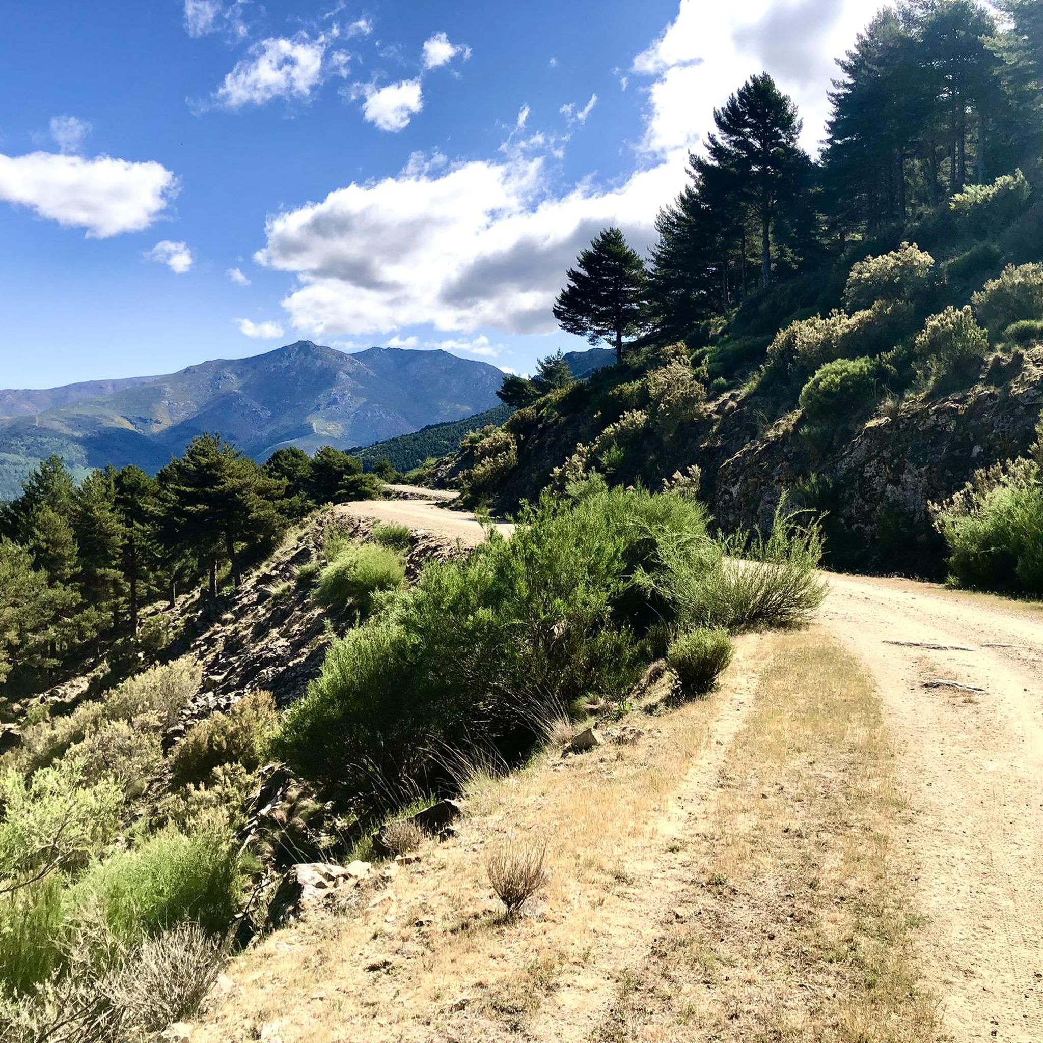
Road cycling routes in Navaconcejo traverse mountainous terrain on the southern slopes of the Sierra de Gredos, featuring a dramatic topography with significant elevation changes. You'll encounter climbs towards peaks like Peña Cuqueña and Peña Negra, as well as descents through river valleys. While most routes are paved, some segments may be unpaved or challenging for road bikes, requiring good fitness.
Are there any easy road cycling routes for beginners in Navaconcejo?
Yes, Navaconcejo offers options for less experienced cyclists. There are 5 easy routes available. While specific easy routes aren't detailed here, you can find suitable options on komoot that cater to beginners.
What are some challenging road cycling routes for experienced riders?
For experienced riders seeking a challenge, Navaconcejo has 36 difficult routes. A notable option is the Jerte River – Viewpoint of Memory loop from Valdastillas, which covers 72.2 km with significant elevation gain. Another demanding route is the Puerto de Piornal (1,285 m) – Garganta la Olla loop from Valdastillas, a 54.9 km route with over 1400 meters of ascent.
What is the best time of year for road cycling in Navaconcejo?
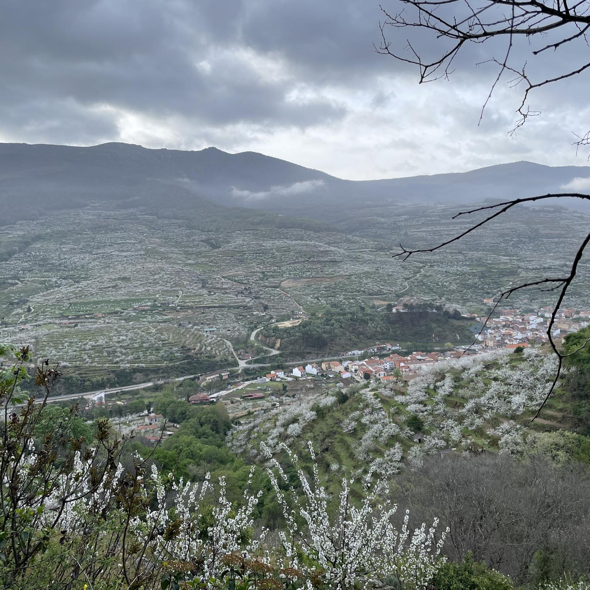
The Jerte Valley is particularly stunning in spring, especially during the cherry blossom season, which transforms the valley into a white spectacle. This is a popular time for cycling, with panoramic routes offering beautiful views. Summer is also suitable, with natural pools along the Río Jerte providing opportunities to cool off. Spring is also ideal for experiencing the waterfalls at their fullest from mountain meltwater.
Are there any scenic viewpoints or landmarks to see along the cycling routes?
Absolutely. The region is rich in natural beauty and historical points of interest. You can find stunning views along routes that pass by the Chorrero de la Virgen Viewpoint. Other notable landmarks include the historic Carlos V Bridge and the impressive Monastery of Yuste. The Honduras Pass also offers breathtaking vistas.
Can I find routes that feature waterfalls or natural pools?
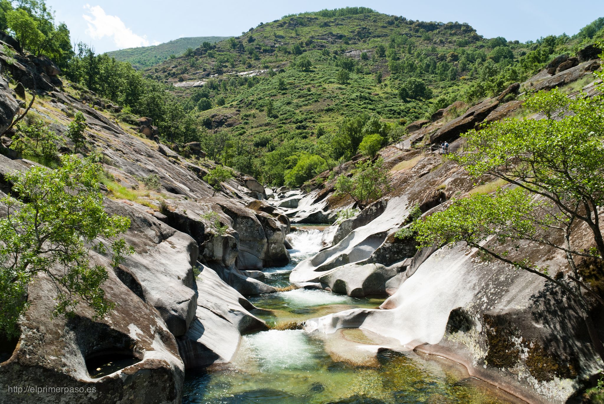
Yes, the Jerte Valley is famous for its natural water features. Many routes will bring you close to or pass by areas with waterfalls and natural pools. The Nogaleas Waterfalls and Caozo Waterfall are significant draws. The Los Pilones Natural Pools in the Garganta de los Infiernos Natural Reserve are also a must-see, known for their unique rock formations.
What do other road cyclists say about the routes in Navaconcejo?
The road cycling routes in Navaconcejo are highly rated by the komoot community, with an average score of 4.3 stars from more than 20 reviews. Cyclists often praise the varied terrain, the stunning natural landscapes, and the rewarding challenges offered by the mountainous climbs and scenic descents.
Are there any circular road cycling routes around Navaconcejo?
Yes, many of the routes around Navaconcejo are designed as loops, allowing you to start and finish in the same location. For example, the Navaconcejo loop from Navaconcejo is a 51.2 km trail that takes you through the mountainous terrain surrounding the town.
Are there any long-distance road cycling routes for endurance training?
Navaconcejo offers several longer routes suitable for endurance training. While not listed in the provided data, the region's mountainous terrain and extensive network of roads, including sections of the GR-100 Vía de la Plata, support routes well over 100 km, such as the 'PREPARACION RUTA PELIN' (112 km) or 'Navaconcejo - El Refugio' (221.5 km) mentioned in regional research, providing substantial elevation changes for very fit cyclists.
Can I find routes that offer views of the Jerte River?
Yes, the Río Jerte flows through Navaconcejo, and many routes offer picturesque views of the river and its surrounding valley. The Río Jerte – Viewpoint of Memory loop from Navaconcejo is a prime example, featuring substantial elevation gain and offering continuous views of the Jerte River.
Most popular routes around Navaconcejo
Most popular attractions around Navaconcejo

Get inspired with the komoot mobile app


Explore more
Browse the best Road cycling routes in other regions.
