The best walks and hikes around Cabrillanes
4.6
(427)
3,333
hikers
84
hikes
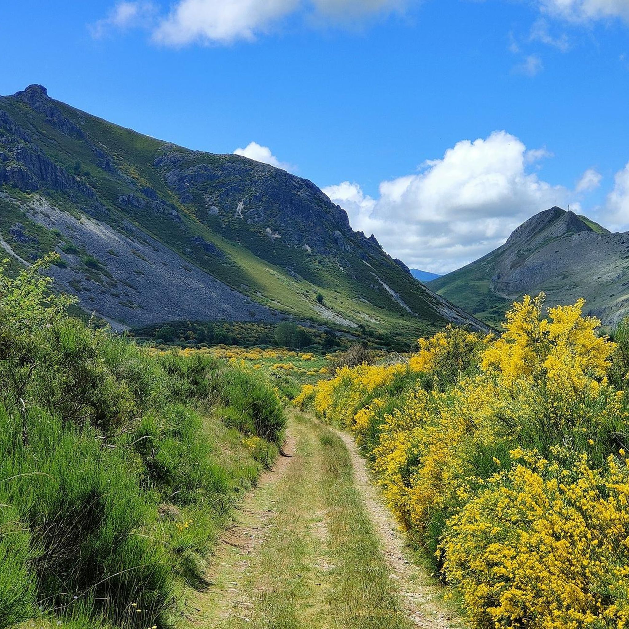
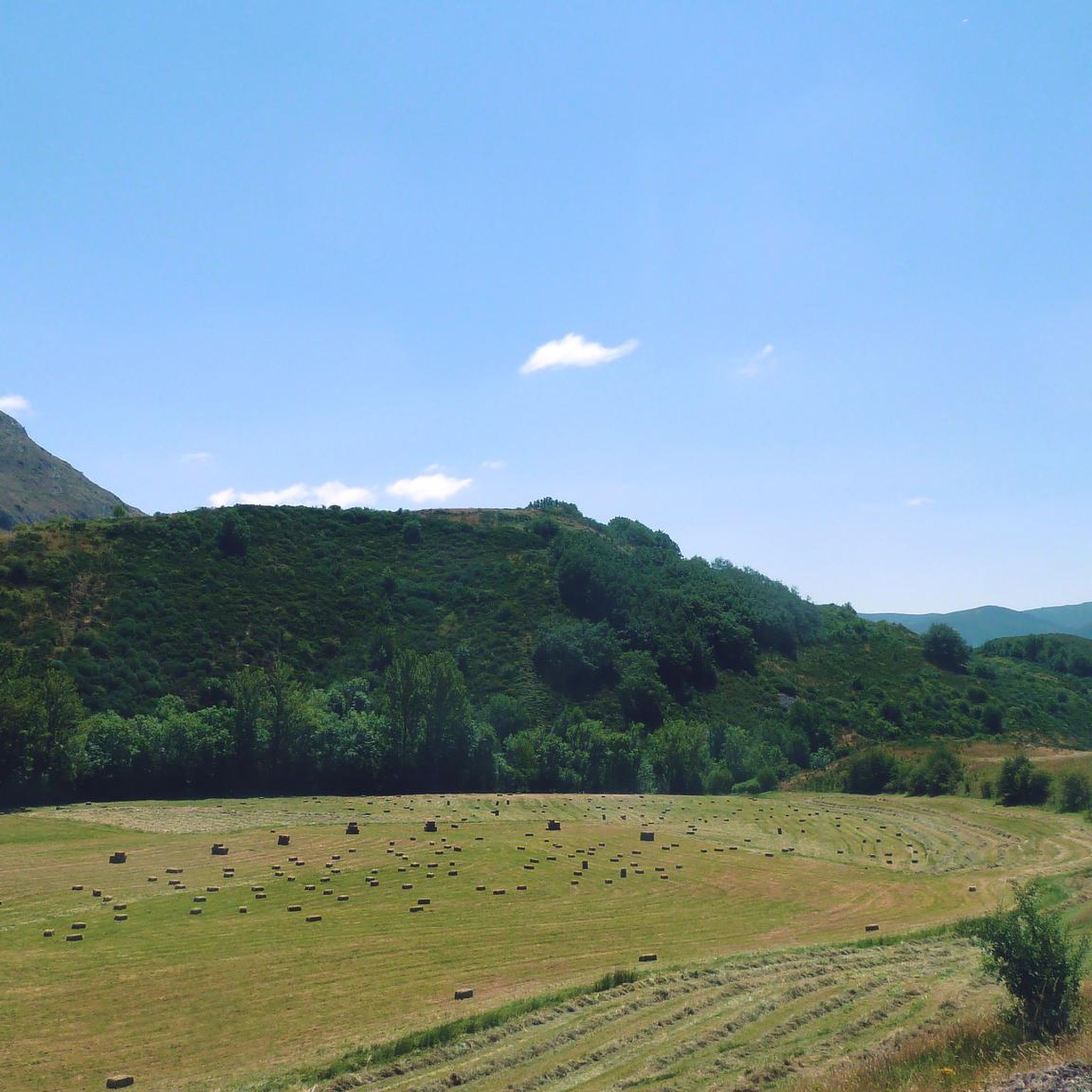
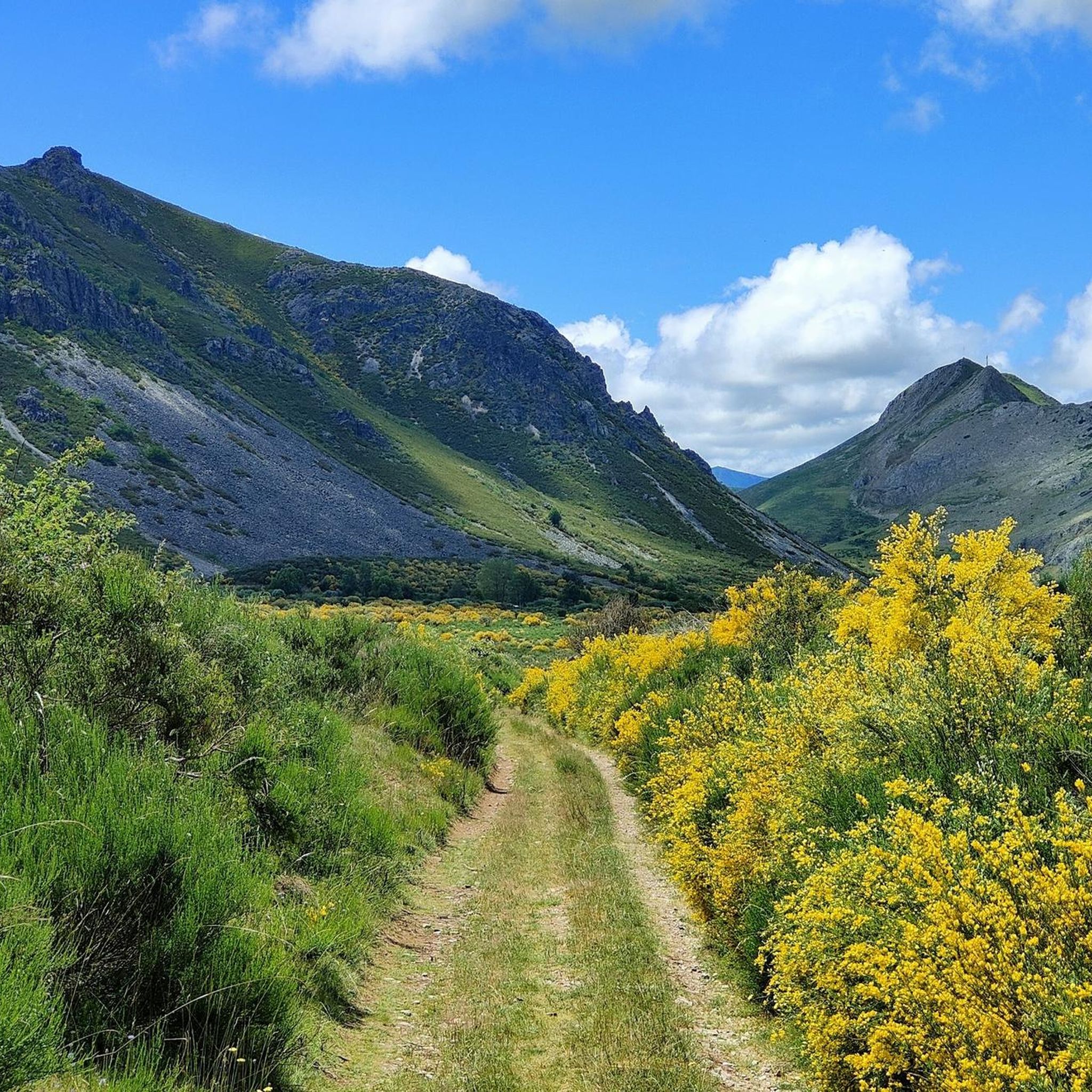
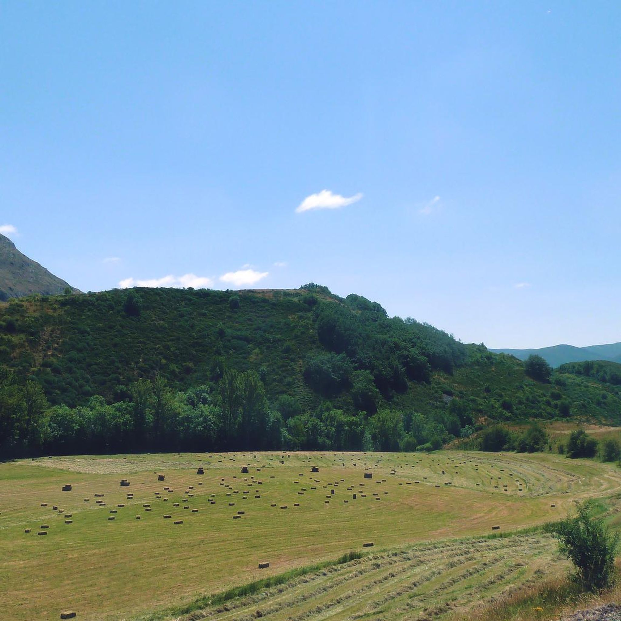
Hiking around Cabrillanes offers access to diverse landscapes within the Babia Biosphere Reserve, a protected area known for its ecological significance. The region features high mountain terrain, evidence of past glacial activity, and river sources. Hikers can explore valleys, pastures, and peaks, including those within the Ubiña massif. This area provides varied geological and ecological features suitable for outdoor activities.
Best hiking trails around Cabrillanes
- The most popular hiking route is Peña Orniz through the Fuentes del Sil - from…
Last updated: July 5, 2026
4.3
(6)
41
hikers
Hard hike. Very good fitness required. Mostly accessible paths. Sure-footedness required.
3.0
(1)
15
hikers
14.5km
05:39
820m
820m
Hard hike. Very good fitness required. Mostly accessible paths. Sure-footedness required.

Sign up for free
1.7
(3)
4
hikers
7.11km
02:24
300m
300m
Moderate hike. Good fitness required. Mostly accessible paths. Sure-footedness required.
4.8
(8)
69
hikers
Moderate hike. Good fitness required. Mostly accessible paths. Sure-footedness required.
4.8
(6)
25
hikers
9.29km
02:46
290m
290m
Moderate hike. Good fitness required. Easily-accessible paths. Suitable for all skill levels.
Get access to more routes and recommendations from other explorers.
Sign up for free
Already have an account?
Our route recommendations are based on thousands of hikes, rides, and runs completed by other people on komoot.
Start today with a free account
Your next adventure awaits.
Login or Signup
Tips from the Community

Reaching the lake is complicated by the high water level on the flat path up to the waterfall
0
0

The path surrounds Majada Abeseu and goes up a steep ramp to the meadows of Majada Covalancha, planted in the middle of a grandiose circus of limestone massifs and mountain meadows. To the north, the natural pass of the Paredina pass stands out, which enters the somedana brañas of Murias Chongas and the Valle de Lago. On the slopes of Covalancha appears the path back through Las Morteras del Couto. The path continues along the skirt of the main valley, surrounding the Pico Cuetalbo massif to the south. In this section there are several mountain itineraries that go up to the springs of the Fuentes del Sil and we have chosen the path close to the line of summits to maintain a constant climb and the mountain environment, there are other paths near the stream through the sheepfolds of the Ports of Cuetalbo, even inside the canyon.
0
0
The top of Peña Orniz has extraordinary views of the Somiedo Natural Park. Especially Valle de Lago and the Picos albos massif. And also from the block of Peña Ubiña, El Cornón and a large part of the mountains of the Cantabrian mountain range. The sculpture at the top is also striking, it looks like a sentinel sorcerer invoking some kind of spell towards the four winds.
0
0

Bridge that allows us to cross the Cebolledo stream, less than 2km from the town of La Cueta.
2
0
At this point we are in Puertos de Cuetalbo, with wonderful views of the Lagoon and Valle Congosto. In the background, we can see Peña Orniz and in the middle, the Fuentes del Sil area.
1
0
At this point is the entrance to access the Lumajo waterfall from the road.
3
0
At this point we are in the Chabuezo Lagoon, near the homonymous sheepfold. A postcard location of the Babia y Luna Natural Park.
1
0
With views of Peña Chana, the Majada de las Verdes gives us a picturesque picture. A real pleasure for lovers of the mountains and hiking.
2
0
Frequently Asked Questions
How many hiking trails are available in Cabrillanes?
Cabrillanes offers a wide range of hiking opportunities, with over 80 trails available for exploration. These routes cater to various skill levels, from easy strolls to challenging mountain ascents.
What makes hiking in Cabrillanes unique?
Hiking in Cabrillanes provides access to the stunning Babia Biosphere Reserve, a protected area known for its exceptional natural beauty. You'll encounter diverse landscapes, including high mountain terrain, evidence of past glacial activity, and the sources of rivers like the Sil. The region offers impressive panoramic views, especially from areas within the Ubiña massif.
Are there easy hiking trails suitable for beginners in Cabrillanes?
Yes, Cabrillanes has several easy hiking trails perfect for beginners or those looking for a relaxed walk. There are 7 routes classified as easy, allowing you to enjoy the natural beauty without significant challenge.
Are there any circular hiking routes in Cabrillanes?
Yes, Cabrillanes features several circular routes. For example, the Peña Chana y Laguna de las Verdes – circular desde Torre de Babia is a challenging 14.5 km loop offering high mountain views. Another option is the Lumajo Waterfall Circular, a moderate 7.1 km trail that takes you through varied terrain to a beautiful waterfall.
Can I find trails with waterfalls in Cabrillanes?
Yes, you can discover trails that lead to waterfalls in Cabrillanes. The Lumajo Waterfall Circular is a moderate 7.1 km route specifically designed to take you to a waterfall. Another option is the Palace of Quiñones – San Bartolo Waterfall loop from Riolago de Babia, a moderate 12.8 km loop.
What kind of landmarks or natural features can I see along the trails?
Along the trails in Cabrillanes, you can encounter various natural and historical landmarks. Highlights include the Braña de Mumián, a historical site, and the scenic Ventana Pass. You might also come across the tranquil Lake of the Valley. The region itself is characterized by glacial formations and high mountain landscapes within the Babia Biosphere Reserve.
What do other hikers enjoy most about the trails in Cabrillanes?
The trails in Cabrillanes are highly rated by the komoot community, with an average score of 4.6 stars from nearly 400 reviews. Hikers often praise the stunning high mountain landscapes, the evidence of past glacial activity, and the diverse river valleys. Over 3,100 hikers have used komoot to explore the varied terrain, indicating a strong appreciation for the region's natural beauty.
Are there any routes that follow river sources?
Yes, one notable route traces the initial section of a significant river. The Peña Orniz through the Fuentes del Sil is a difficult 15.3 km trail that follows the Sil river to its source at the base of Peña Orniz (2,191m).
Are there any moderate difficulty hikes in Cabrillanes?
Yes, a significant number of trails in Cabrillanes are of moderate difficulty, offering a good balance of challenge and accessibility. There are 47 moderate routes, such as the Las Verdes Mountain Pasture – Lagoon of Las Verdes loop from Torre de Babia, an 11 km loop that takes you through beautiful landscapes.
What is the best time of year to hike in Cabrillanes?
Given its high mountain landscapes and potential for glacial formations, the best time to hike in Cabrillanes is typically during the warmer months, from late spring to early autumn. This period offers more favorable weather conditions and ensures trails are clear of snow, allowing full access to the diverse terrain and stunning views of the Babia Biosphere Reserve.
Are there any historical sites or traditional villages to explore near the trails?
Yes, the region combines nature with culture and tradition. The village of Riolago de Babia, for instance, is known for its palaces and coat-of-arms adorned houses, reflecting a rich heritage of transhumance traditions and local legends. You can explore these historical sites as part of your hiking experience.
Most popular attractions around Cabrillanes

Get inspired with the komoot mobile app


Explore more
Browse the best Hikes in other regions.
