The best cycling routes around Aguilar De Bureba
5.0
(1)
32
riders
16
rides
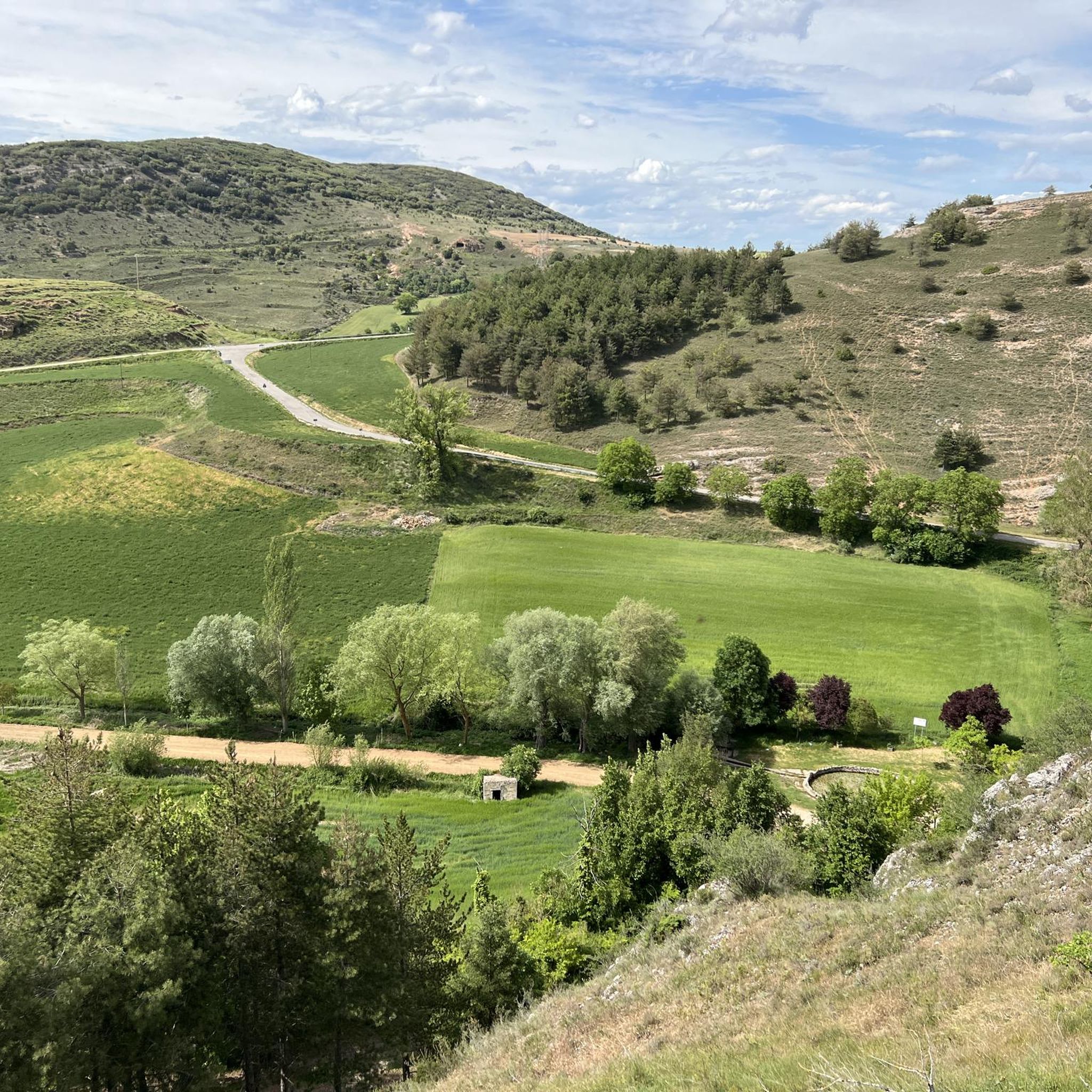
Touring cycling routes around Aguilar de Bureba traverse the Oca River basin, characterized by the plains of La Bureba. This region features expansive cereal fields alongside dramatic gorges. To the north, the Montes Obarenes Natural Park provides a diverse landscape of scrubland, including juniper and boxwood, as well as extensive forests of oak, Scots pine, resin pine, and holm oak. The terrain transitions from open agricultural areas to more challenging, forested inclines, offering varied cycling experiences.
Best touring cycling routes…
Last updated: July 8, 2026
8
riders
33.9km
03:20
680m
680m
Hard bike ride. Very good fitness required. You may need to push your bike for some segments of this route.
5
riders
24.5km
02:03
410m
410m
Moderate bike ride. Good fitness required. Mostly paved surfaces. Suitable for all skill levels.

Sign up for free
9
riders
43.9km
04:30
910m
910m
Hard bike ride. Very good fitness required. You may need to push your bike for some segments of this route.
4
riders
28.0km
01:47
210m
210m
Moderate bike ride. Good fitness required. Mostly paved surfaces. Suitable for all skill levels.
5.0
(1)
4
riders
Hard bike ride. Very good fitness required. Mostly paved surfaces. Suitable for all skill levels.
Get access to more routes and recommendations from other explorers.
Sign up for free
Already have an account?
Our route recommendations are based on thousands of hikes, rides, and runs completed by other people on komoot.
Start today with a free account
Your next adventure awaits.
Login or Signup


Tips from the Community

A true boundary between zones, crossed by a road, just at an altitude of 1,000 metres.
1
0
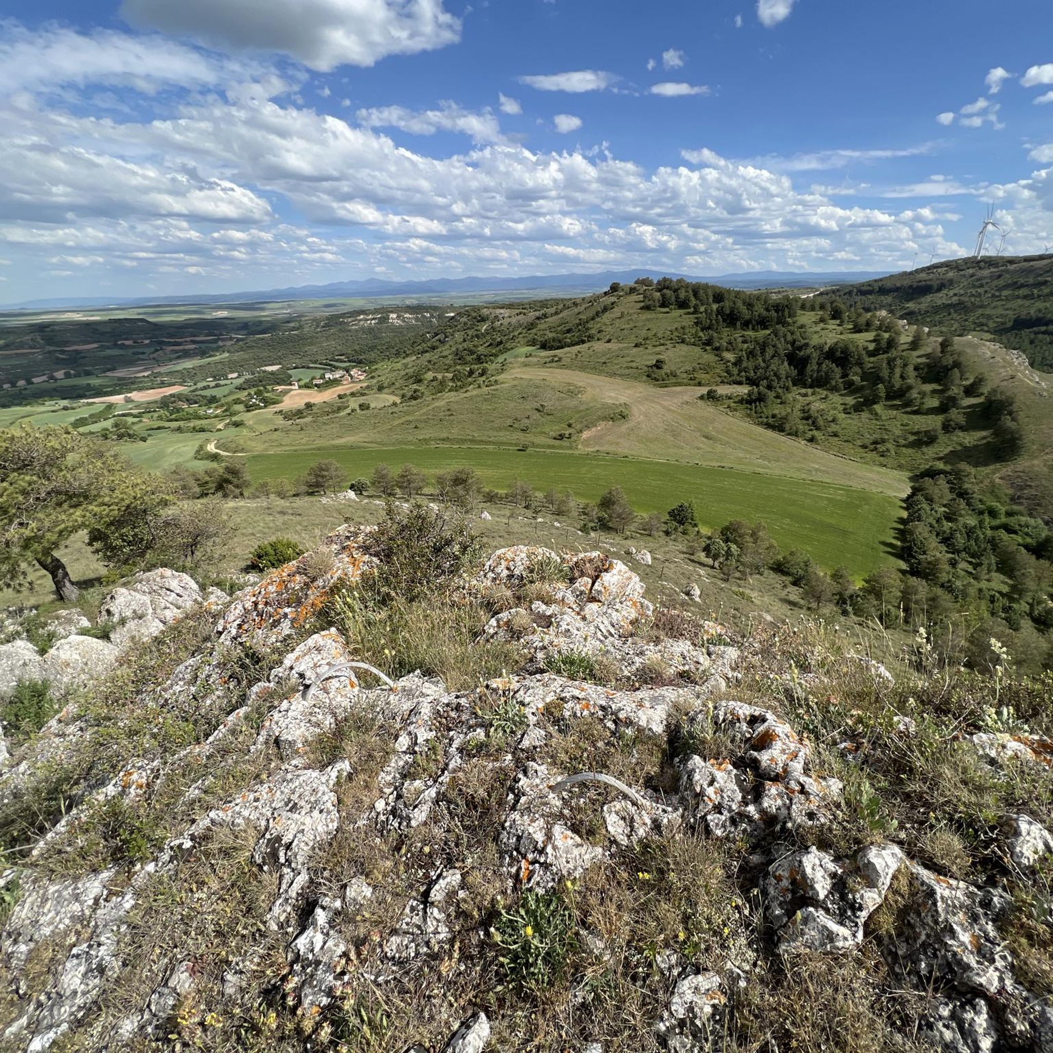
A delightful viewpoint of the entire Bureba area.
1
0

A beautiful town in a privileged location. It's well worth a visit, and take a stroll around the surrounding area.
1
0

Once upon a time
1
0

Beautiful fountain with coat of arms.
2
1
Frequently Asked Questions
What kind of landscape can I expect when touring cycling around Aguilar de Bureba?
The region offers a diverse landscape for touring cyclists. You'll encounter expansive cereal fields across the plains of La Bureba, dramatic gorges, and the varied terrain of the Montes Obarenes Natural Park to the north. This natural park features scrubland, juniper, boxwood, and extensive forests of oak, Scots pine, resin pine, and holm oak, transitioning from open agricultural areas to more challenging, forested inclines.
What are the typical difficulty levels for touring cycling routes in this area?
Touring cycling routes around Aguilar de Bureba are generally categorized as moderate or difficult. There are 7 moderate routes and 11 difficult routes available, offering options for cyclists looking for a challenge or a steady, engaging ride.
Are there many circular touring cycling routes available?
Yes, many of the touring cycling routes in the area are designed as loops, allowing you to start and finish in the same location. For example, the Plaza Mayor de Briviesca – Sanctuary of Santa Casilda loop from Briviesca is a popular option, as is the Plaza Mayor de Briviesca – Sanctuary of Doña Casilda loop from Briviesca.
What historical or cultural landmarks can I explore along touring cycling routes?
The region is rich in historical and cultural sites. You can visit the Sanctuary of Doña Casilda, which is featured on several routes. Aguilar de Bureba itself boasts the Romanesque Church of Santa María la Mayor and the Hermitage of San Guillermo. The wider Bureba region also includes the picturesque saline village of Poza de la Sal and is part of the 'Ruta del Románico' (Romanesque Route), offering many architectural treasures.
Are there any natural viewpoints or scenic spots on the touring cycling routes?
Yes, the routes often lead to 'breathtaking vistas of the surrounding countryside.' You can find several summits listed as highlights, such as Summit of Pan Perdido, AltoDeNavas, and Windows, which offer excellent panoramic views.
Are there family-friendly touring cycling routes suitable for children?
While there are no routes specifically classified as 'easy' in the immediate vicinity, some of the moderate routes might be suitable for families with older, experienced children. For example, the Sanctuary of Doña Casilda – Pozo Negro loop from Briviesca is a moderate 24.6 km path that could be an option for active families.
Can I bring my dog on touring cycling routes in Aguilar de Bureba?
Generally, cycling on public roads and designated paths in the region is permissible with dogs, provided they are well-behaved and kept under control, ideally on a leash for their safety and that of others. Always check local regulations for specific natural parks or protected areas you might pass through, as rules can vary.
What is the best time of year for touring cycling in Aguilar de Bureba?
The region's quiet country roads and varied landscapes are enjoyable for cycling for much of the year. Spring and autumn typically offer pleasant temperatures and beautiful scenery, making them ideal for touring. Summer can also be good, though it might be warmer, while winter cycling is possible but may require more preparation for colder conditions.
Where can I find parking for touring cycling routes near Aguilar de Bureba?
Many routes, such as those starting from Briviesca, typically offer parking options in or near the town centers. For routes originating from smaller villages or specific trailheads, roadside parking or small designated areas are often available. It's advisable to check the starting point of your chosen route for specific parking information.
What do other touring cyclists enjoy the most about touring cycling in Aguilar de Bureba?
The area is highly rated by the komoot community, with an average score of 5.0 stars. Reviewers often praise the varied terrain, which transitions from open agricultural plains to forested inclines, and the opportunity to explore both natural beauty and historical sites. The quiet country roads with minimal traffic also contribute to a pleasant cycling experience.
Are there any cafes, pubs, or accommodation options for cyclists in Aguilar de Bureba or nearby?
Aguilar de Bureba and surrounding towns like Briviesca offer local amenities including cafes, pubs, and accommodation. These establishments cater to visitors and are generally welcoming to cyclists. It's a good idea to check opening hours, especially in smaller villages, and consider booking accommodation in advance during peak seasons.
How long do touring cycling routes typically take to complete?
The duration of routes varies depending on their distance and difficulty. For instance, the Cow Weather Vane on the Roof – Murals of Reinoso loop from Briviesca, a moderate 27.8 km route, takes approximately 1 hour 46 minutes. A longer, more difficult route like the Oña Historic Town Center – Oña Historic Center loop from Estación de Calzada de Bureba, spanning 54.4 km, can take around 3 hours 30 minutes.
Most popular attractions around Aguilar De Bureba

Get inspired with the komoot mobile app


Explore more
Browse the best Cycling routes in other regions.
