The best running trails around Montejícar
65
runners
6
runs
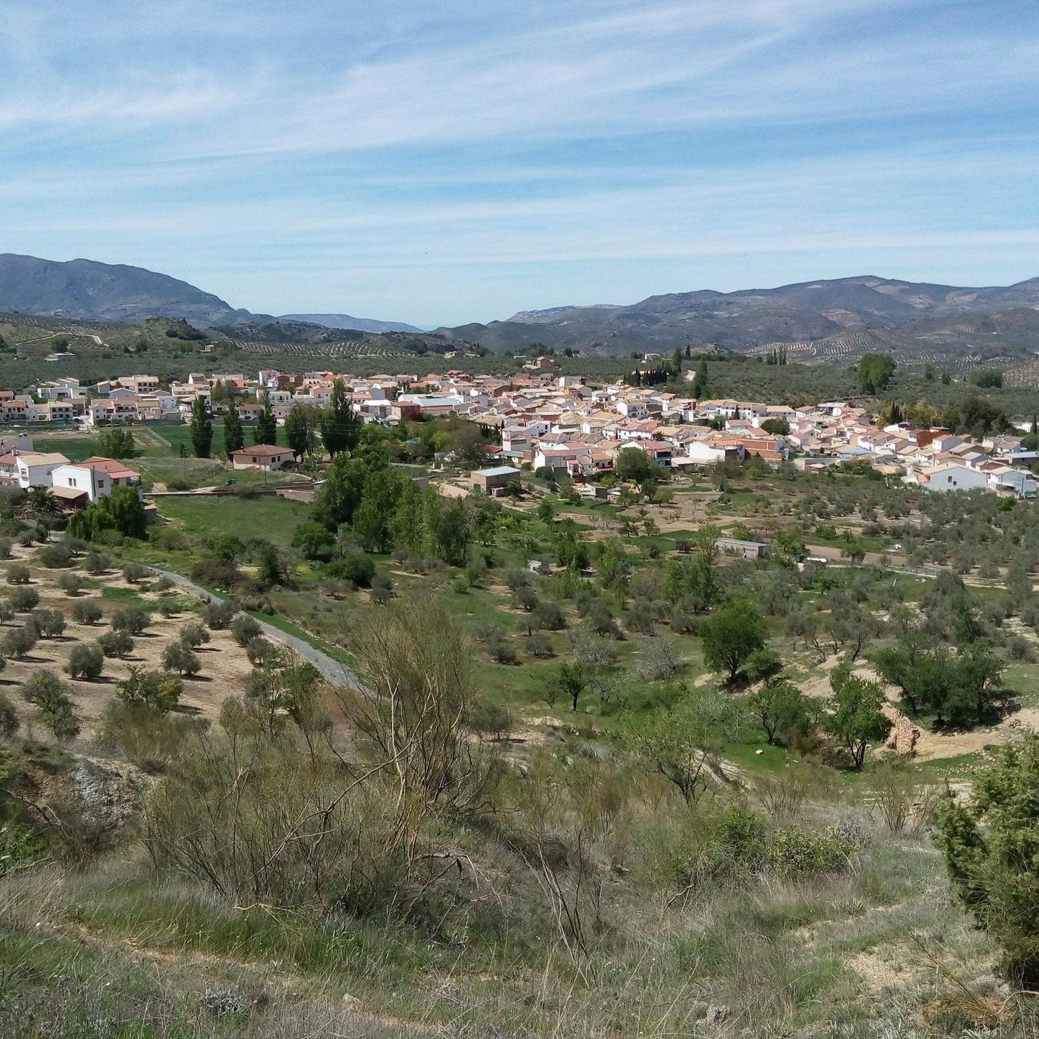
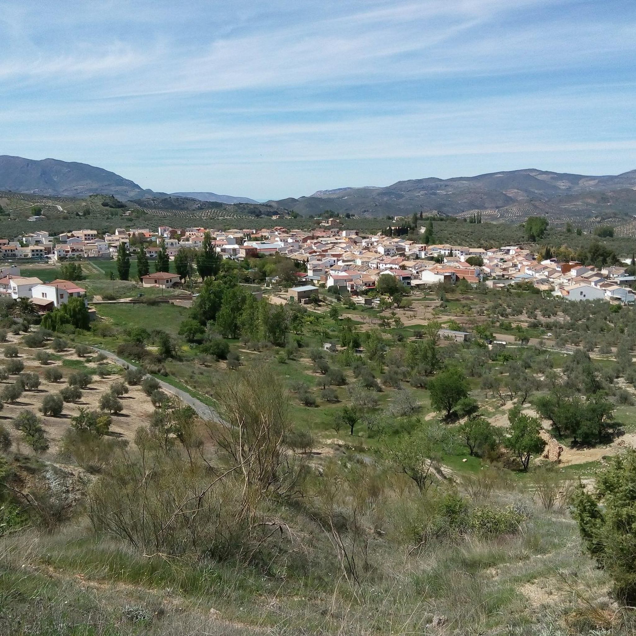
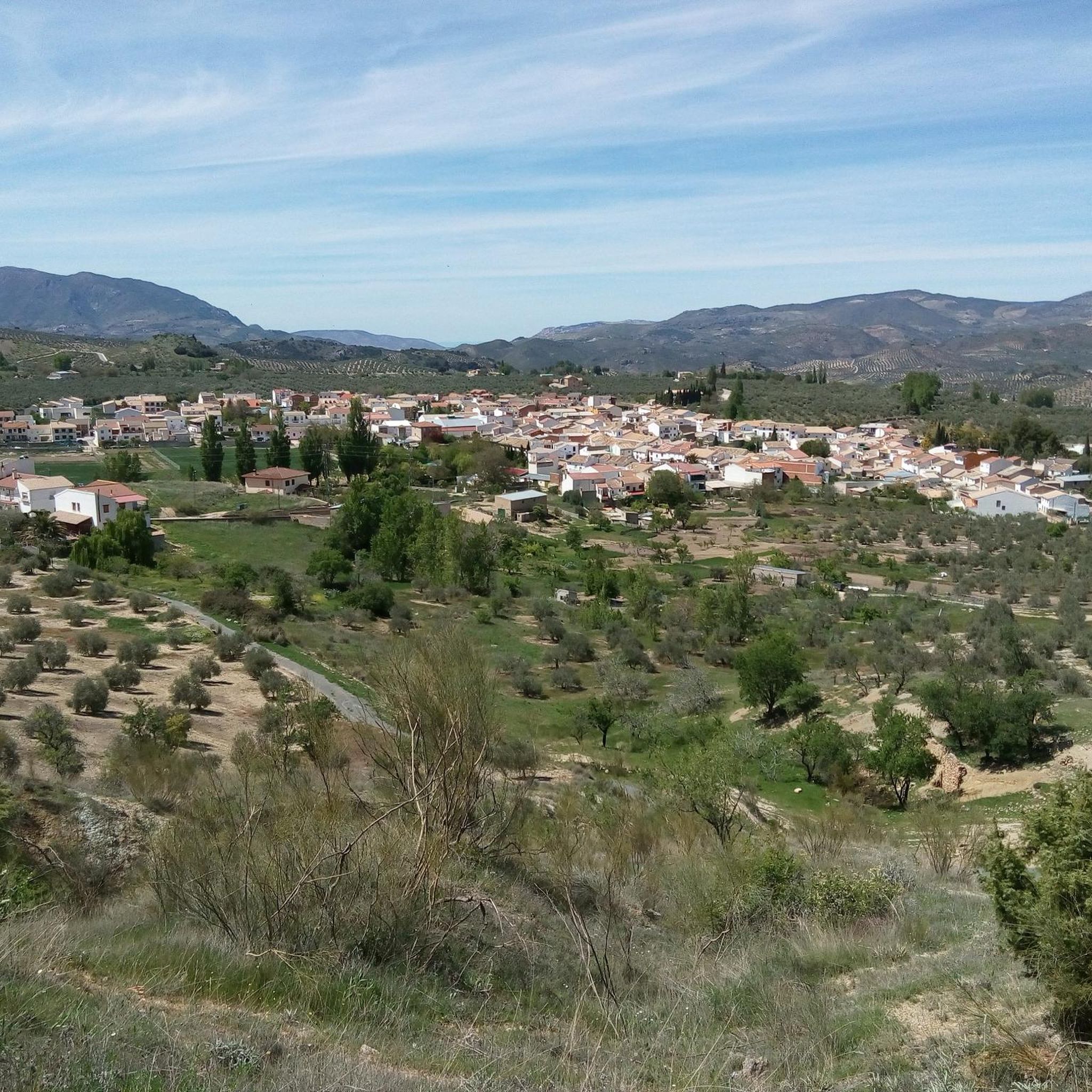
Jogging routes around Montejícar are situated at the foot of the Sierra Alta Coloma mountain, offering diverse terrain for runners. The region is characterized by valleys, expansive farmland, and olive groves, providing varied landscapes for outdoor exercise. Montejícar itself is located at 1137 meters above sea level, with routes that can range from gentle inclines through agricultural areas to more challenging ascents on mountain slopes.
Best jogging routes around Montejícar
- The most popular jogging route is Ascent to Pico Mágina…
Last updated: June 26, 2026
6
runners
22.1km
03:20
1,110m
1,110m
Challenging 13.7-mile trail run to Pico Mágina and Miramundos with 3653 feet of gain, offering vast views in Sierra Mágina.
27
runners
20.0km
03:05
1,030m
1,030m
Hard run. Very good fitness required. Mostly paved surfaces. Suitable for all skill levels.

Sign up for free
13
runners
17.1km
02:39
910m
910m
Hard run. Very good fitness required. Mostly paved surfaces. Suitable for all skill levels.
5
runners
9.30km
01:01
180m
180m
Moderate run. Good fitness required. Mostly paved surfaces. Suitable for all skill levels.
6
runners
47.4km
06:42
2,040m
2,040m
Hard run. Very good fitness required. Mostly paved surfaces. Suitable for all skill levels.
Our route recommendations are based on thousands of hikes, rides, and runs completed by other people on komoot.
Start today with a free account
Your next adventure awaits.
Login or Signup

Tips from the Community

A real spectacle in its surroundings. From there you can see all the worlds, hence its name "Miramundos."
0
0
I loved it 😍🎈 "Where the earth touches the sky, there Mágina watches, eternal sentinel of the Holy Kingdom."
0
0

Good views from the summit. There is no area to take shelter, so it must be taken into account in adverse weather conditions.
1
0
The shelter has all the necessary elements to spend the night. A table for 4-6 people, 4 chairs and a wooden top where you can sleep. The views are spectacular from either side.
1
0

Summit located in the homonymous natural park in the province of Jaén. With its 2,167 m altitude, it is the highest peak in this province and is located on the dividing line between the municipalities of Albanchez de Mágina and Huelma.
1
0
This summit is located in the homonymous natural park in the province of Jaén. With its 2167 meters of altitude, it is the highest peak in this province and is located on the dividing line between the municipalities of Albanchez de Mágina and Huelma.
2
0


It is conditioned in perfect condition.
2
1
Frequently Asked Questions
How many running routes are available in Montejícar?
Montejícar offers a selection of 7 running routes, catering primarily to moderate and difficult ability levels. These trails take you through diverse landscapes, from valleys to mountain slopes.
What kind of terrain can I expect on Montejícar's jogging trails?
Jogging routes around Montejícar feature diverse terrain, ranging from gentle inclines through expansive farmland and olive groves in the valleys to more challenging ascents on the mountain slopes of Sierra Alta Coloma. The village itself is situated at 1137 meters above sea level, ensuring varied elevation changes.
Are there running routes suitable for beginners or families in Montejícar?
The available routes in Montejícar are generally classified as moderate to difficult, with no easy routes listed. Runners seeking a gentler experience might find the trails challenging due to significant elevation changes and distances. It's advisable to check individual route details for suitability for beginners or families.
Can I find circular running routes around Montejícar?
Yes, there are circular running options available. For instance, the Pico Mágina Summit (2,167 m) – Miramundos Shelter loop from Cortijo de Vista Alegre and the Miramundos Shelter loop from Cortijo de Vista Alegre are both difficult loop trails that offer sustained climbs and panoramic views.
Are there any scenic viewpoints or historical landmarks along the running paths?
Yes, Montejícar's routes often combine natural beauty with historical interest. You can enjoy beautiful views of Montejícar and the surrounding valley, especially from elevated points like the castle ruins. Other historical points of interest in the broader area include the Roman bridge "Puente Romano de Triana" and ancient chapels. For specific highlights, consider exploring Cambil or the Cortijo El Torcal.
What are the typical distances and difficulties of running routes in Montejícar?
The running routes in Montejícar vary in length and difficulty. You'll find trails like the Running loop from Huelma, which is a moderate 8.7 km, up to challenging routes such as the Ascent to Pico Mágina and Miramundos, spanning 22.1 km with significant elevation gain.
Are there options for advanced runners seeking a challenge?
Absolutely. Montejícar is well-suited for advanced runners. Many routes feature significant elevation gain and cover long distances through mountainous terrain. Trails like the Huelma loop from Huelma or the Pico Mágina Summit (2,167 m) – Miramundos Shelter loop from Cortijo de Vista Alegre offer sustained climbs and panoramic views from high elevations, providing a true test of endurance.
Are there any waterfalls or natural features to see while running?
Yes, the region boasts a rich natural environment. While running, you might encounter natural features such as valleys, olive groves, and diverse wildlife. Specifically, the Fuente Cabra waterfall is a notable natural attraction in the vicinity that you could explore.
What is the best time of year to go jogging in Montejícar?
Given its location at 1137 meters above sea level and diverse terrain, spring and autumn generally offer the most pleasant conditions for jogging in Montejícar, with milder temperatures. Summer can be hot, especially at lower elevations, while winter might bring cooler temperatures and potentially snow at higher altitudes, making it suitable for those who enjoy winter running.
Is public transport available to access the running trails in Montejícar?
Information on direct public transport access to specific trailheads is not readily available. Montejícar is a village, and while local transport might exist, accessing the more remote mountain trails often requires personal transportation. It's recommended to plan accordingly.
Where can I park when accessing jogging routes in Montejícar?
While specific parking areas for each trailhead are not detailed, Montejícar is a village with various access points to the surrounding natural areas. It's generally possible to find parking within or on the outskirts of the village, especially near starting points for popular routes. Always ensure you park responsibly and legally.
What do other runners enjoy the most about jogging in Montejícar?
Runners frequently praise Montejícar for its stunning natural surroundings, including the varied terrain of mountain slopes, valleys, and olive groves. The presence of historical points of interest like castle ruins also adds a unique dimension to the experience, allowing for discovery during a run. The challenging nature of many routes is also a draw for those seeking a robust workout.
Most popular attractions around Montejícar

Get inspired with the komoot mobile app


Explore more
Browse the best Running Trails & Routes in other regions.
