The best MTB trails around Muñana
3.8
(7)
31
riders
15
rides
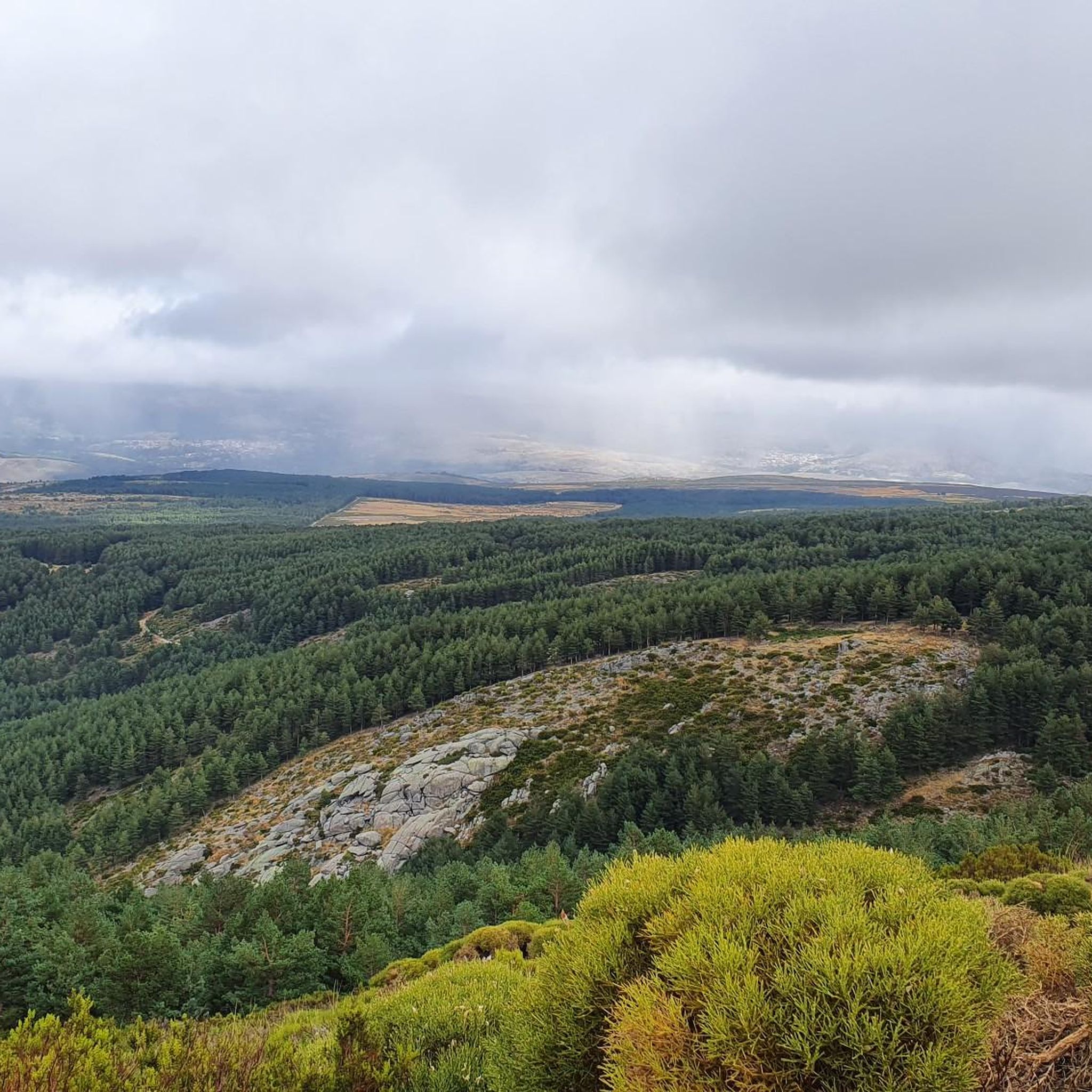
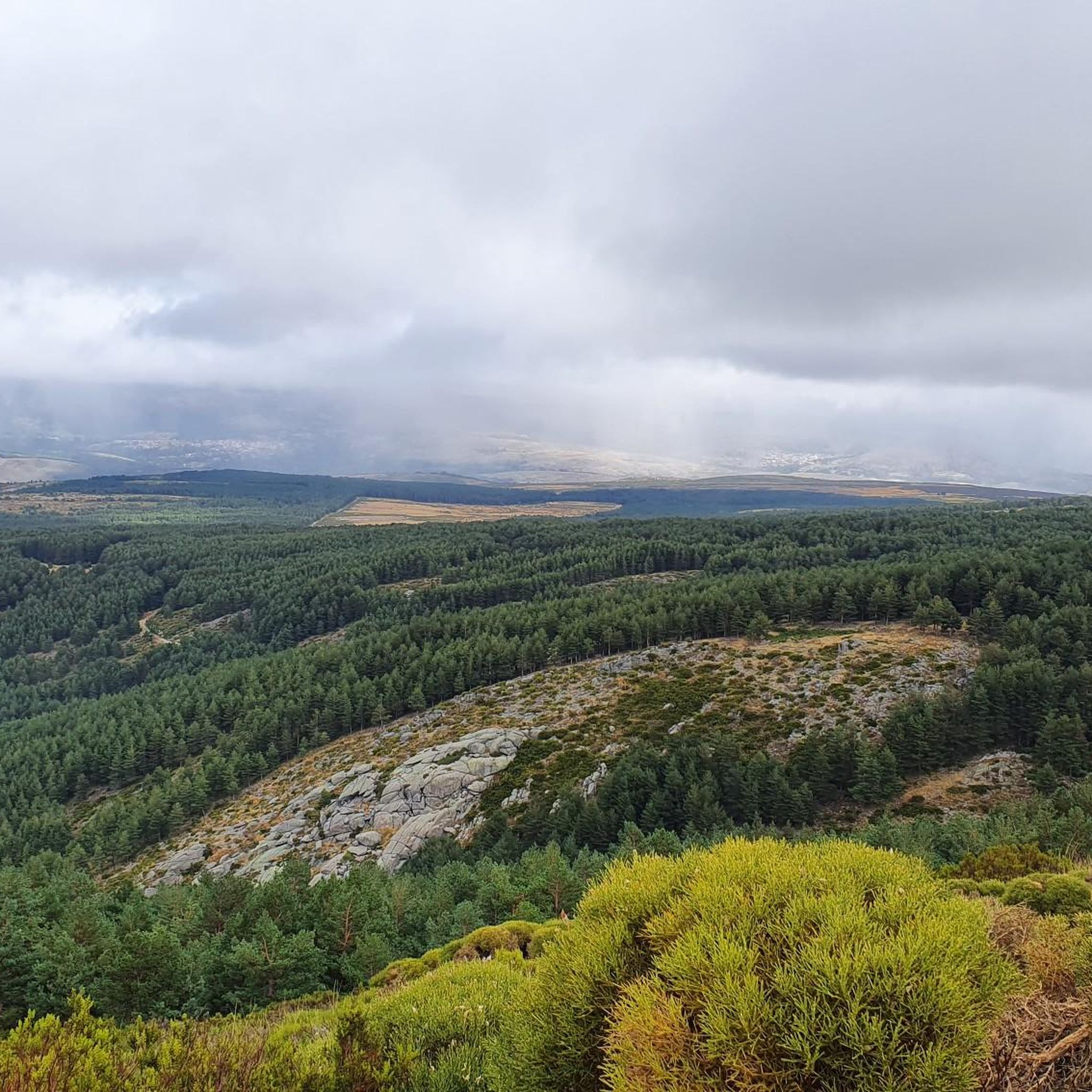
Mountain bike trails around Muñana navigate a landscape characterized by significant elevation changes, river valleys, and mountain passes. The region offers a diverse terrain for mountain bikers, with routes that climb through hilly areas and descend into scenic gorges. This varied topography provides both challenging ascents and rewarding views across the natural features of the area.
Best mountain bike trails around Muñana
- The most popular mountain bike trail is Villatoro and Garganta de los Hornos Loop, a 22.9 miles…
Last updated: October 4, 2026
2.5
(2)
7
riders
36.8km
04:04
1,170m
1,170m
This difficult 22.9-mile mountain biking route near Villatoro offers challenging terrain and scenic views with 3832 feet of elevation gain.
5
riders
48.7km
04:42
1,020m
1,020m
Hard mountain bike ride. Very good fitness required. Suitable for all skill levels.

5
riders
69.4km
06:28
1,220m
1,220m
Hard mountain bike ride. Very good fitness required. Suitable for all skill levels.
2
riders
35.9km
03:35
800m
800m
Moderate mountain bike ride. Good fitness required. Suitable for all skill levels.
5.0
(5)
3
riders
29.4km
03:07
910m
900m
Hard mountain bike ride. Very good fitness required. Suitable for all skill levels.
Get access to more routes and recommendations from other explorers.
Already have an account?
Our route recommendations are based on thousands of hikes, rides, and runs completed by other people on komoot.

Tips from the Community

A stream on the outskirts of the town that even in these times runs a trickle of water, you can see it in the rainy season.
0
0

It is the only rebuilt mill that still works, but the person who made it work died and I don't know if there is anyone who can teach it and put it into operation.
0
0

From Puerto de Villatoro itself, a road appears in a northerly direction that goes towards the center of Villanueva del Campillo, with impressive views of the area.
0
0
Population that is located at the foot of the northern side of the Sierra de Panamera and that on one of its sides is the Castillo de Manqueospese. As it is surrounded by mountains, as soon as you get up, you can see the entire core.
0
0
At this point it is said that the Río Adaja is born and there appear a set of springs and springs that give us water in case we are without it! Beautiful valley!
0
0
The Río de la Garaganta descends through this valley that has formed over the years and that lets us see how the Sierra de Panamera peaks rise behind us.
1
0
The relief of the municipality is formed by two mountainous areas separated by the Amblés valley, through which the Adaja river runs, which is born in the territory. The northern area is called Sierra de Villanueva, a branch of the Sierra de Ávila.
0
0

The Muñotello roll symbolizes the jurisdictional independence obtained by the town with respect to the Villatoro council in 1733, during the reign of Felipe V. The construction is made of carved granite, it is five meters high and represents the sovereignty of the town of Muñotello to administer Justice. The prisoners were tied to the stone pillory during the trial and depending on the sentence they were stoned to death or released.
0
0
Frequently Asked Questions
How many mountain bike trails are available around Muñana?
There are over 15 mountain bike trails around Muñana, offering a diverse range of options for different skill levels. The region features routes that navigate significant elevation changes, river valleys, and mountain passes.
What kind of terrain can I expect on mountain bike trails in Muñana?
The terrain around Muñana is characterized by hilly areas, river valleys, and mountain passes. You can expect routes with substantial climbs and descents, traversing varied landscapes from gorges to more open, scenic areas. The region's topography provides both challenging ascents and rewarding views.
Are there any easy mountain bike trails suitable for beginners in Muñana?
Yes, Muñana offers several routes suitable for beginners. There are 3 easy mountain bike trails available, perfect for those looking for a less strenuous ride while still enjoying the natural beauty of the area.
What are some challenging mountain bike trails for experienced riders in Muñana?
Experienced riders looking for a challenge will find 4 difficult routes around Muñana. One such trail is the Villatoro and Garganta de los Hornos Loop, a 22.9-mile route with substantial climbs and descents through a notable gorge. Another extensive and difficult option is the Arroyo Prodesagar – Rollo de Muñotello loop from Villatoro, which covers 43.6 miles with over 1200 meters of elevation gain.
Are there any circular mountain bike routes in Muñana?
Yes, many of the mountain bike trails in Muñana are circular routes, allowing you to start and end in the same location. Examples include the Villatoro and Garganta de los Hornos Loop and the Castillo de Villaviciosa – Fuente Fría Picnic Area loop from Solosancho.
What natural features or landmarks can I see along the mountain bike trails?
The trails around Muñana offer views of various natural features and landmarks. You might encounter mountain passes like Collado de la Honda or Las Fuentes Pass, and summits such as Serrota and Cerro de Gorría. Some routes also pass by historical sites like the Ruins of Monasterio del Risco or the Rollo de Muñotello.
What are the typical durations for mountain bike trails in Muñana?
Trail durations vary significantly based on length and difficulty. For instance, the Villatoro and Garganta de los Hornos Loop typically takes around 4 hours, while the longer Arroyo Prodesagar – Rollo de Muñotello loop from Villatoro can take over 6 hours to complete.
What do other mountain bikers enjoy most about riding in Muñana?
The mountain bike routes in Muñana are highly rated by the komoot community, with an average score of 3.0 stars from 6 reviews. Riders often praise the varied terrain, the challenging climbs, and the scenic views across the natural features of the area, especially the gorges and river valleys.
Are there any routes that pass by historical sites?
Yes, some routes incorporate historical elements. For example, the Castillo de Villaviciosa – Fuente Fría Picnic Area loop from Solosancho leads through historical sites and natural picnic spots, offering a blend of cultural and natural exploration.
Can I find routes that follow rivers or streams?
Yes, the region's landscape includes river valleys. The Arroyo Prodesagar – Rollo de Muñotello loop from Villatoro, for instance, traverses varied terrain along a stream, providing a refreshing element to the ride.
What is the overall difficulty range of mountain biking in Muñana?
Muñana offers a comprehensive range of difficulties, from easy routes suitable for beginners to moderate and difficult trails for more experienced mountain bikers. The network caters to various skill levels, ensuring there's a suitable option for almost everyone.
Are there any routes that offer significant elevation gain?
Absolutely. Many routes in Muñana feature significant elevation changes. The Arroyo Prodesagar – Rollo de Muñotello loop from Villatoro, for example, includes over 1200 meters of elevation gain, making it a challenging and rewarding ride for those seeking substantial climbs.
Most popular routes around Muñana
Most popular attractions around Muñana

Get inspired with the komoot mobile app


Explore more
Browse the best MTB trails in other regions.
