The best MTB trails around Agolada
4.7
(28)
486
riders
36
rides
Mountain biking around Agolada features varied terrain characterized by forests, mountain ranges, and hills. The municipality's highest point, Monte do Farelo at 956 meters, provides opportunities for significant climbs and descents. River valleys, such as those of the Río Pontiñas and Río Arnego, offer additional scenic routes. This diverse landscape supports a range of mountain bike trails.
Best mountain bike trails around Agolada
- The most popular mountain bike trail is ⭐️ Arzúa – Ribadiso Medieval Bridge loop from Parabispo,…
Last updated: August 11, 2026
5.0
(1)
75
riders
59.1km
05:48
1,540m
1,540m
Hard mountain bike ride. Very good fitness required. Advanced riding skills necessary.
4.0
(2)
26
riders
24.5km
02:02
560m
560m
Moderate mountain bike ride. Good fitness required. Suitable for all skill levels.

Sign up for free
14
riders
Moderate mountain bike ride. Good fitness required. Advanced riding skills necessary.
9
riders
30.8km
02:27
540m
540m
Moderate mountain bike ride. Good fitness required. Advanced riding skills necessary.
11
riders
44.9km
03:19
730m
730m
Moderate mountain bike ride. Good fitness required. Suitable for all skill levels.
Get access to more routes and recommendations from other explorers.
Sign up for free
Already have an account?
Our route recommendations are based on thousands of hikes, rides, and runs completed by other people on komoot.
Start today with a free account
Your next adventure awaits.
Login or Signup
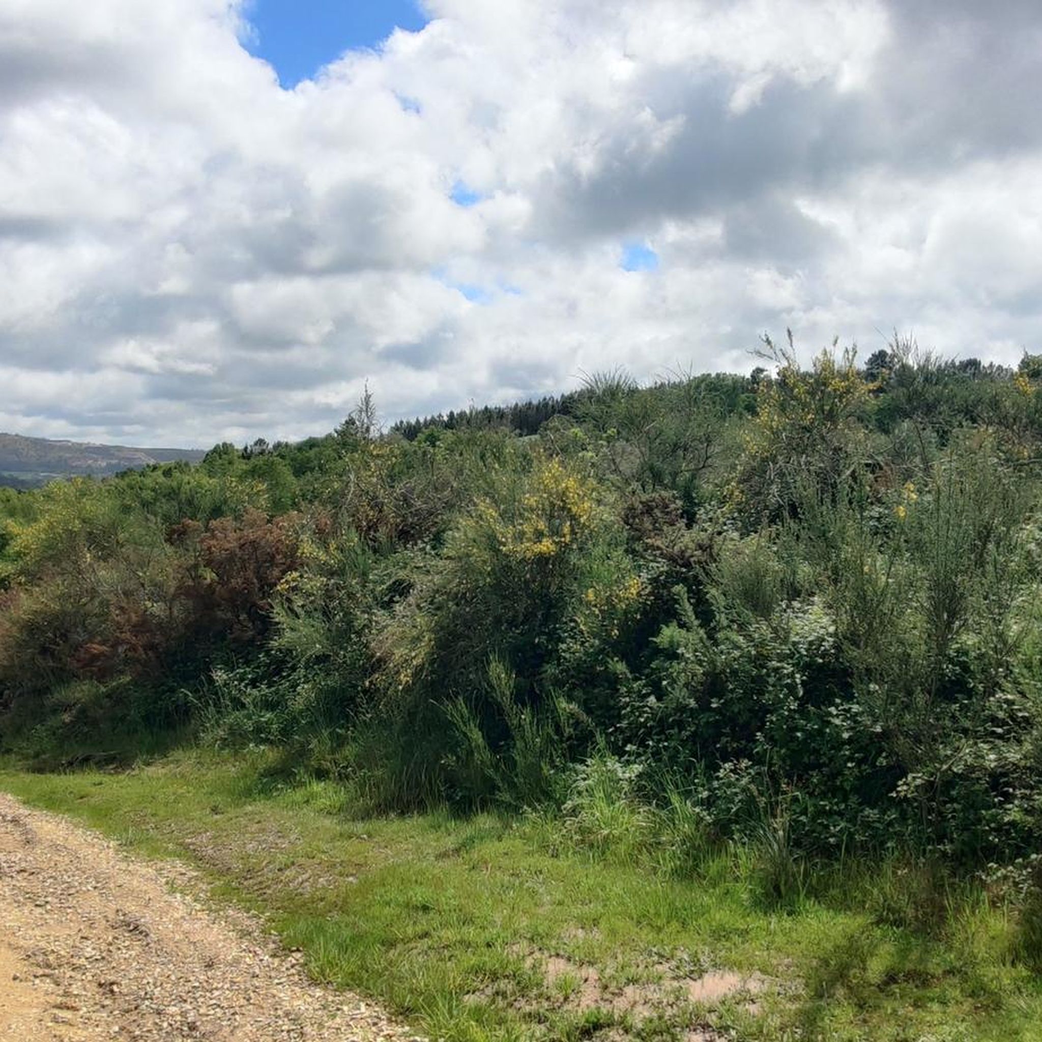
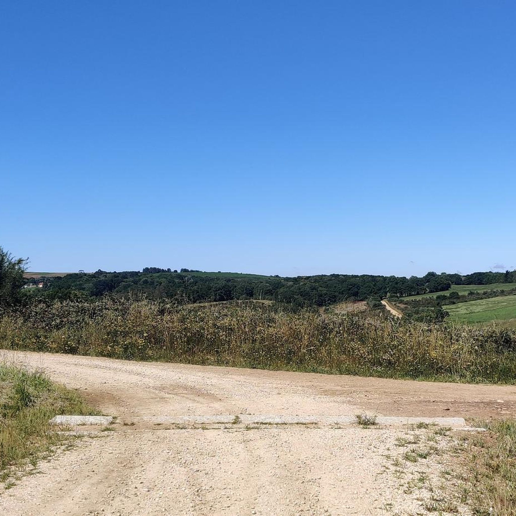
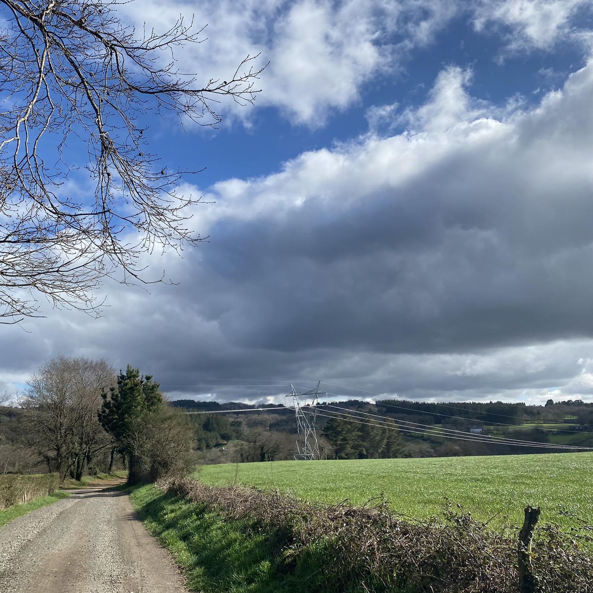
Tips from the Community

Contrary to what the name suggests, this was not the king's palace or residence. It's a lovely little place and good for a break.
1
2

It's essential to have an octopus at Ezequiel
0
0
Nice bridge on the road
1
0

Romanesque church dating from the last third of the 12th century with later alterations. Only the main entrance and part of the façade remain of the original design. It has a Latin cross plan with a rectangular nave, two side chapels, and a pentagonal presbytery. The walls are made of masonry and granite ashlars, and the roof is covered with two- and four-sided tiles. The entrance is Romanesque and features a rounded arch with two archivolts, coved arches, an outer band of truncated spires, and decorated capitals. The tympanum is plain on quoins. The altarpiece in the main chapel is neoclassical.
1
1

A very large complex with many buildings and bars.
0
1
This was also closed at the time we were there.
1
1
Very funny and also very nice to know how far you have to go to get home 😁
0
0

Following the Camino de Santiago, between Plaz del Rey and Melide, you will find this beautiful Romanesque bridge over the Rio Seco.
5
0
Frequently Asked Questions
How many mountain bike trails are there in Agolada?
Agolada offers a diverse network of over 30 mountain bike trails. These routes cater to various skill levels, ranging from moderate paths to more challenging ascents and descents.
What is the best time of year for mountain biking in Agolada?
The spring and autumn months generally offer the most pleasant conditions for mountain biking in Agolada, with milder temperatures and less extreme weather. While specific weather patterns vary, these seasons typically provide a good balance for exploring the region's trails.
Are there any easy mountain bike trails suitable for beginners in Agolada?
While many trails in Agolada feature moderate to difficult terrain, there is at least one easy route available. For those seeking a gentler introduction to mountain biking in the area, it's advisable to check individual trail descriptions for difficulty ratings.
What kind of terrain can I expect on Agolada's mountain bike trails?
Agolada's mountain bike trails traverse varied terrain, including extensive forests, rolling hills, and mountainous areas, notably around Monte do Farelo, the highest point at 956 meters. You'll also find scenic routes along river valleys like the Río Pontiñas and Río Arnego, offering a mix of technical sections and smoother paths.
Can I find circular mountain bike routes in Agolada?
Yes, Agolada features several circular mountain bike routes. For example, the Bridge over the Río Seco – Roman Bridge of Furelos loop from Parabispo is a moderate 44.9 km circular trail that offers a good mix of scenery and challenge.
Are there any family-friendly mountain bike trails in Agolada?
While many trails in Agolada are rated moderate to difficult, some sections along river paths or through less elevated forested areas might be suitable for families with older children or those comfortable with some off-road cycling. Always check the specific trail details, including distance and elevation, to ensure it matches your family's ability.
What attractions or landmarks can I see along the mountain bike trails?
Many mountain bike routes in Agolada pass by historical and natural landmarks. You might encounter impressive structures like the Ribadiso Medieval Bridge, the Roman Bridge of Furelos, or the Stone bridge over the Catasol River. Some trails also lead near historical churches such as the Church of Saint Mary of Leboreiro.
Is Agolada suitable for mountain biking with dogs?
Agolada's natural environment, with its forests and river paths, can be enjoyable for mountain biking with dogs. However, it's crucial to keep dogs under control, especially in areas with livestock or other wildlife, and to respect local regulations regarding pets on trails. Always carry water for your dog and be mindful of their endurance.
Where can I park my car when mountain biking in Agolada?
Specific parking information for individual trailheads is best found on the detailed route pages. Generally, you can look for parking in the main town of Agolada or designated recreational areas like Área de lecer do Liño, which may offer convenient access to nearby trails.
Are there any permits required for mountain biking in Agolada?
Currently, there is no widespread permit system required for general mountain biking on public trails in Agolada. However, it's always good practice to stay informed about any local regulations or private land access rules that might apply to specific areas you plan to ride.
How do other mountain bikers rate the trails in Agolada?
The mountain bike trails in Agolada are highly regarded by the komoot community, boasting an average rating of 4.8 stars from over 25 reviews. Riders often praise the varied terrain, scenic beauty, and the opportunities for both challenging climbs and enjoyable descents.
Can I access mountain bike trails in Agolada using public transport?
While Agolada is a rural municipality, public transport options might be limited directly to trailheads. It's advisable to research local bus services to Agolada town or nearby villages and plan your route accordingly, considering the distance from stops to your desired starting point.
Are there places to eat or drink near the mountain bike trails?
Agolada town and its surrounding villages offer local cafes and pubs where you can refuel after your ride. The traditional market stalls of Os Pendellos de Agolada also provide a unique cultural experience, often with nearby eateries. Planning your route to pass through these areas can be a good way to combine your ride with a refreshment stop.
Most popular attractions around Agolada

Get inspired with the komoot mobile app


Explore more
Browse the best MTB trails in other regions.
