The best road cycling routes around Aguarón
4.2
(6)
819
riders
34
rides
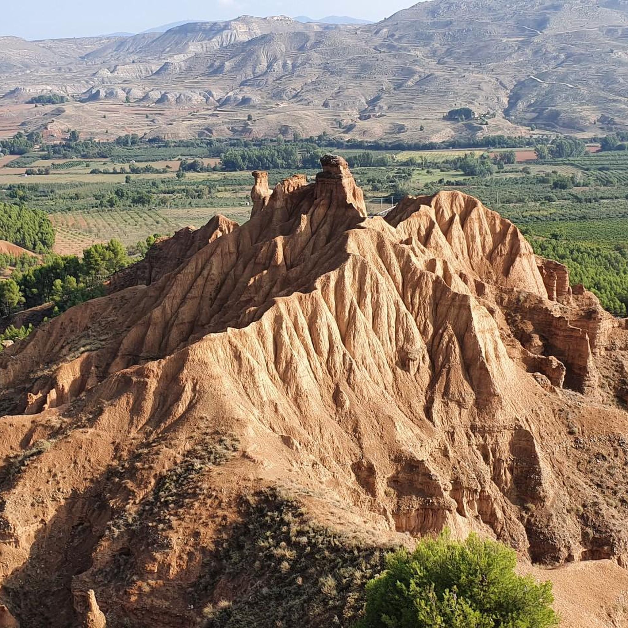
Road cycling around Aguarón is characterized by its location within the Sierra de Algairén and the Campo de Cariñena, offering varied terrain. The region features rolling hills and expansive vineyards, providing a scenic backdrop for road cyclists. Situated at an altitude of 649 meters, Aguarón serves as a gateway to routes with notable elevation changes. Cyclists can expect a landscape shaped by viticulture and the natural contours of the Sierra de Algairén.
Best road cycling routes around Aguarón
- The most…
Last updated: July 15, 2026
4.0
(1)
52
riders
89.6km
04:46
1,620m
1,620m
Hard road ride. Very good fitness required. Mostly well-paved surfaces and easy to ride.
5.0
(1)
53
riders
80.1km
03:54
1,100m
1,100m
Hard road ride. Very good fitness required. Some segments of this route may be unpaved and difficult to ride.

Sign up for free
42
riders
136km
06:32
1,840m
1,840m
Hard road ride. Very good fitness required. Some segments of this route may be unpaved and difficult to ride.
34
riders
109km
05:37
1,820m
1,820m
Hard road ride. Very good fitness required. Some segments of this route may be unpaved and difficult to ride.
32
riders
46.6km
02:31
920m
920m
Hard road ride. Very good fitness required. Mostly well-paved surfaces and easy to ride.
Get access to more routes and recommendations from other explorers.
Sign up for free
Already have an account?
Our route recommendations are based on thousands of hikes, rides, and runs completed by other people on komoot.
Start today with a free account
Your next adventure awaits.
Login or Signup



Tips from the Community

The Hermitage of the Virgin of the Eagle in Cerveruela, Zaragoza, is a small sanctuary located in a picturesque natural setting, ideal for activities such as hiking and road cycling. It is located in the Campo de Daroca region, within the Zaragoza Iberian System Natural Park, which gives it remarkable scenic and ecological value.
2
0

The town of Codos is located on the banks of the Grío River, nestled in a primarily agricultural landscape where cherry and peach orchards predominate. In the center of town there is a bar.
1
0
The town of Santa Cruz de Grío is located between the Vicort mountain range and the Grío river valley. Surrounded by forest masses and fields of almond, cherry and olive trees, Santa Cruz de Grío offers a quiet rural image. In season, the town's municipal swimming pool becomes the ideal place to cool off and have a bite to eat.
1
0
Tobed is a small town located in the Aragonese region of the Community of Catalayud. At the top of one of the hills that surround the town, there are the remains of a medieval fortress. In the urban area, the church of Santa María stands out, in the Gothic-Mudejar style.
1
0
The Capurnos Bridge was built in the 17th century in order to join the towns of Morata de Jalón and Chodes by crossing the waters of the Jalón River.
1
0

From this point we have a beautiful picture of the imposing Castle of Mesones de Isuela controlling the town from the top of the rocky hill. Guided tours inside the castle can be booked at the tourist office of the Aranda region
1
0
Beautiful basilica in the city of Calatayud where the interior stands out with an altar and impressive baroque wooden altarpieces. It is the most important basilica of the order of the Holy Sepulcher of Jerusalem in Spain.
1
0
The Puerta de Terrer or Puerta de Matadores, is a monumental door that gives us access to the city of Calatayud and is one of the most representative monuments of the city. It dates from the second half of the 16th century and is in the Renaissance style.
1
0
Frequently Asked Questions
What kind of terrain can I expect when road cycling around Aguarón?
Road cycling around Aguarón offers a diverse landscape characterized by rolling hills and extensive vineyards, particularly within the Campo de Cariñena. You'll also encounter the more challenging ascents of the Sierra de Algairén, providing varied terrain for different skill levels. The region's viticulture means many routes wind through picturesque wine country.
How many road cycling routes are available around Aguarón, and what are their difficulty levels?
There are over 25 road cycling routes around Aguarón documented on komoot. These routes cater to various abilities, with 4 easy, 6 moderate, and 19 difficult options, ensuring there's a suitable challenge for most road cyclists.
Are there any notable landmarks or attractions to see along the road cycling routes?
Yes, several routes pass by significant landmarks. For instance, the Alto de Codos – Hermitage of the Virgin of the Eagle loop from Cariñena takes you near the Hermitage of the Virgin of the Eagle. Other routes might offer views of the Sanctuary of the Virgin of the Lagoons or the Longares Mudejar Tower. The region also features mountain passes like Collado de la Luz and Puerto de Codos, which are popular cycling points.
What do other road cyclists enjoy most about road cycling in Aguarón?
The area is highly rated by the komoot community, with an average score of 4.3 stars from over 3 reviews. More than 600 road cyclists have used komoot to explore Aguarón's varied terrain. Reviewers often praise the challenging ascents through the Sierra de Algairén and the scenic routes winding through vineyard landscapes.
What is the best time of year for road cycling in Aguarón?
Aragon, where Aguarón is located, offers diverse cycling conditions. While specific weather patterns for Aguarón vary, generally spring and autumn provide pleasant temperatures for road cycling. Summers can be hot, especially in the Ebro valley, but higher elevations in the Sierra de Algairén might offer cooler rides. Winters can be cold, particularly in mountainous areas.
Are there any long-distance or challenging road cycling routes available?
Yes, Aguarón is an excellent base for challenging rides. For example, the Alto de Codos – ⭐️ Puerta de Terrer loop from Cariñena is a difficult 136.1 km (84.5 miles) route with significant elevation gain, typically taking around 6 hours 30 minutes. Another demanding option is the Alto de Codos – Santa Cruz de Grío loop from Cariñena, covering 109.1 km (67.8 miles).
Are there any easier or beginner-friendly road cycling options around Aguarón?
While many routes in the immediate vicinity are rated difficult, the broader Aragon region offers beginner-friendly options, such as the Zaragoza-San Mateo route. Within the komoot selection for Aguarón, there are 4 routes classified as easy, providing less strenuous options for those new to road cycling or looking for a more relaxed ride.
Can I find circular road cycling routes near Aguarón?
Yes, many of the road cycling routes around Aguarón are designed as loops, allowing you to start and finish in the same location. Examples include the Alto de Codos – Hermitage of the Virgin of the Eagle loop from Cariñena and the Alto de Codos – ⭐️ Church of San Pedro loop from Cariñena, both offering circular journeys through the region's landscapes.
What are the typical elevation gains on road cycling routes in Aguarón?
Given Aguarón's location at 649 meters altitude and its proximity to the Sierra de Algairén, routes often feature significant elevation changes. For instance, the Alto de Codos – Hermitage of the Virgin of the Eagle loop from Cariñena includes over 1600 meters of ascent, while the Alto de Codos – ⭐️ Puerta de Terrer loop from Cariñena has over 1800 meters of climbing.
Are there options for parking or public transport to access cycling routes in Aguarón?
Aguarón is situated 48 kilometers from Zaragoza, making it accessible by car. While specific parking details for individual trailheads are best checked on komoot route pages, the village itself would likely offer parking options. For public transport, you would typically need to reach Zaragoza first and then connect to Aguarón, though direct public transport options for cyclists might be limited.
Are there any facilities like cafes or accommodation suitable for cyclists in Aguarón?
Aguarón is a village with an urban center, suggesting local amenities like cafes and restaurants would be available. While specific bike-friendly accommodation isn't detailed, the presence of local establishments means cyclists can likely find places for refreshments and overnight stays. The 16th-century Ermita de San Cristóbal also offers a recreational area, perfect for a post-ride respite.
What are the natural features that define the cycling experience in Aguarón?
The natural features defining the cycling experience in Aguarón are primarily the rolling hills and challenging ascents of the Sierra de Algairén, combined with the expansive vineyards of the Campo de Cariñena. From the Ermita de San Cristóbal, cyclists can enjoy magnificent views of the entire plain, showcasing the region's blend of viticultural landscapes and mountainous terrain.
Most popular attractions around Aguarón

Get inspired with the komoot mobile app


Explore more
Browse the best Road cycling routes in other regions.
