The best road cycling routes around Cucalón
27
riders
5
rides
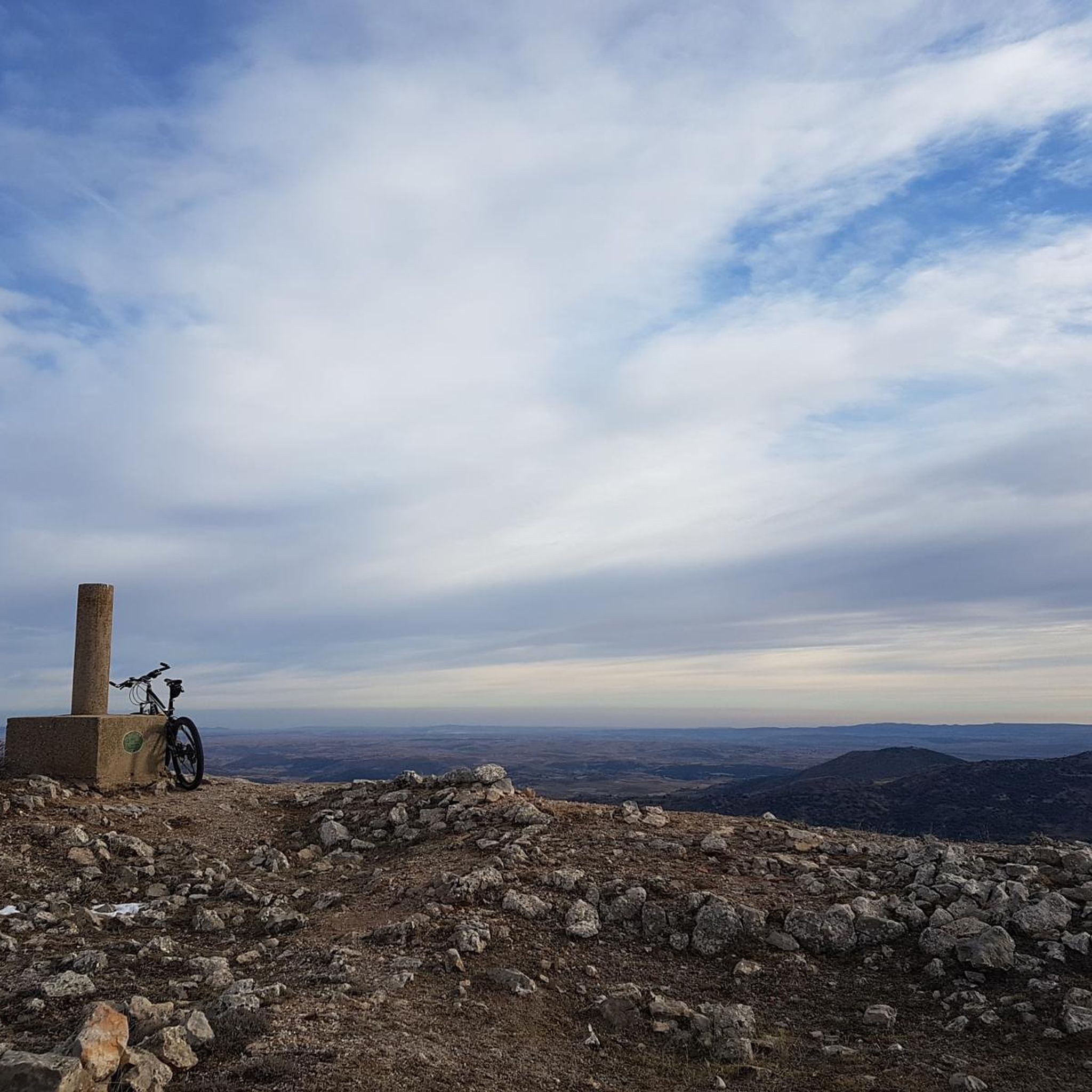
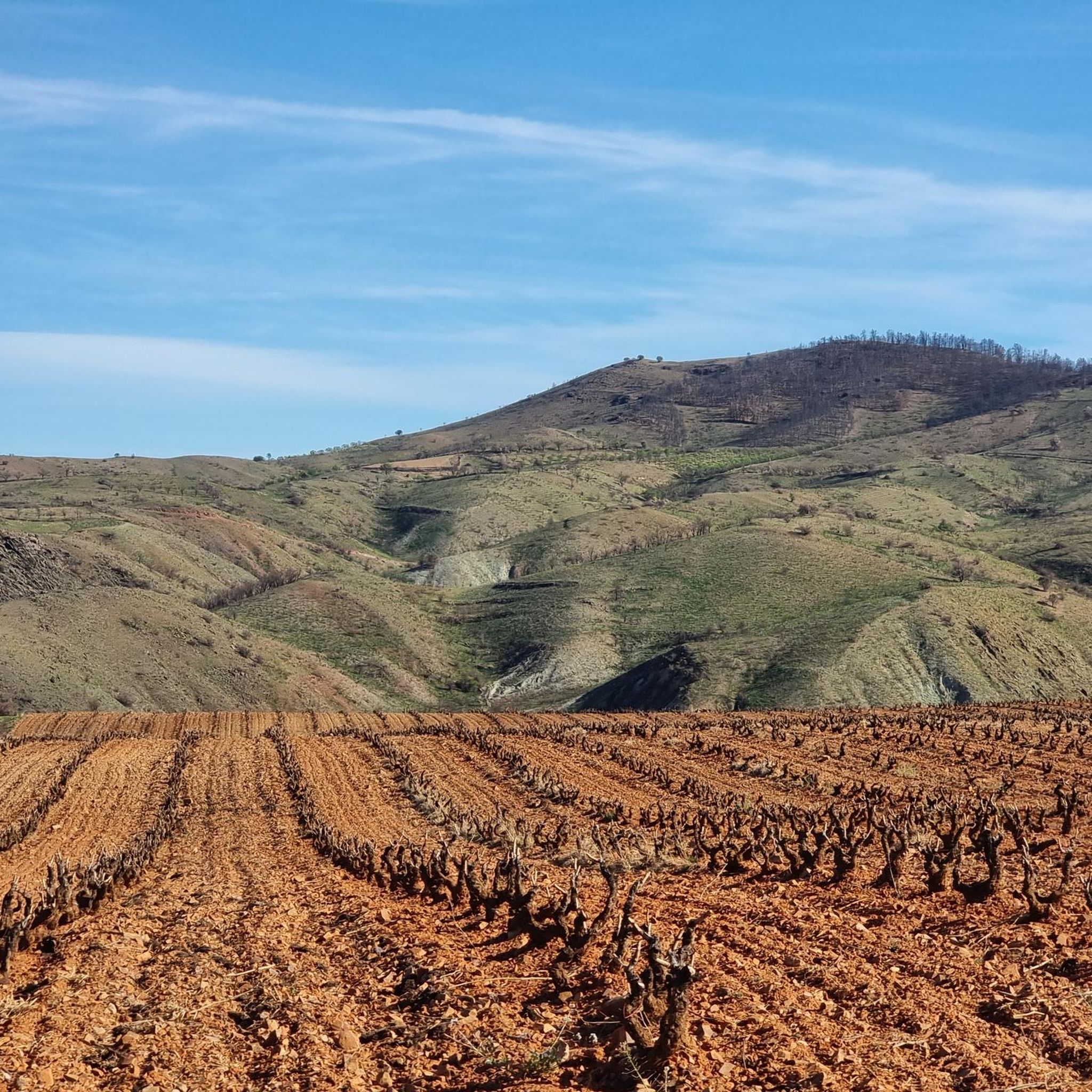
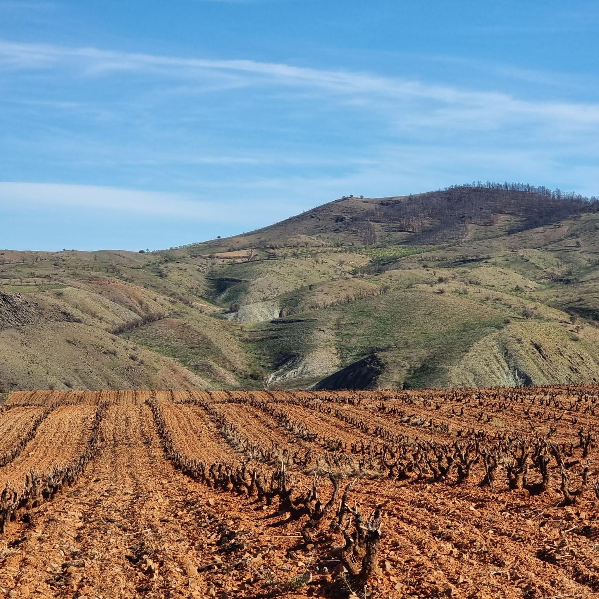
Road cycling routes around Cucalón are situated within the Teruel province, an area characterized by its varied topography. The region features undulating terrain with significant elevation changes, as indicated by the challenging nature of many routes. Road cyclists can expect to encounter a landscape that includes both open stretches and more secluded areas, often with views of the surrounding natural environment. The presence of routes with substantial climbs suggests a hilly or mountainous character, consistent with areas like the Sierra…
Last updated: July 12, 2026
9
riders
82.0km
03:58
1,020m
1,020m
Hard road ride. Very good fitness required. Some segments of this route may be unpaved and difficult to ride.
7
riders
54.0km
02:34
510m
510m
Moderate road ride. Good fitness required. Some segments of this route may be unpaved and difficult to ride.

Sign up for free
4
riders
45.2km
02:06
370m
370m
Moderate road ride. Good fitness required. Some segments of this route may be unpaved and difficult to ride.
3
riders
64.0km
03:02
620m
620m
Moderate road ride. Good fitness required. Some segments of this route may be unpaved and difficult to ride.
4
riders
43.6km
02:06
470m
470m
Moderate road ride. Good fitness required. Some segments of this route may be unpaved and difficult to ride.
Our route recommendations are based on thousands of hikes, rides, and runs completed by other people on komoot.
Start today with a free account
Your next adventure awaits.
Login or Signup
Popular around Cucalón
Tips from the Community

Watched over by the remains of its ancient castle, Daroca emerges, one of the most beautiful cities in Aragon. Without a doubt, one of the charms of the town is to walk along its walls, with their imposing towers, until you reach the castle, from which you can enjoy a beautiful panoramic view.
0
0

Monforte de Moyuela is a small village in the Jiloca region of Teruel, located at an altitude of over 1,000 meters and surrounded by the Oriche mountain range. It preserves remains of its 12th-century castle and a Roman dam, as well as several chapels and the parish church of La Asunción, rebuilt in the 19th century after the Carlist Wars. The town is part of the Route of El Cid, which makes it even more attractive for those cycling along historic, less-traveled paths. The terrain is mountainous, and it's advisable to bring good equipment and plenty of water, as services are limited in the area.
1
0
The Lower Gate is the most emblematic entrance to Daroca and one of the most impressive defensive monuments in Aragon. Its two robust towers flank a large arch that, in addition to serving as a passageway, also facilitated the drainage of water during periods of heavy rain. Built between the 13th and 16th centuries, it reflects the military and architectural evolution of the city, with Gothic and Renaissance elements such as the gallery of arches and the imperial coat of arms of Charles V. Today, restored, it houses the Center for Daroca Studies and is a must-see for those exploring the city's walls and historic streets.
2
0

A must-see to listen to the flow of the Pancrudo River. And seeing the beauty of the Jiloca River banks in autumn is special.
0
1

This Castle corresponds to the Major Castle of Daroca, of Muslim origin and built in the 11th Century.
0
0

Images are there for a reason...take a photo and find out what they mean to you
0
0

The rich history of Daroca, from a Celtiberian town to a Roman city, and later from an Arab enclave to an important town in the kingdom of Aragon, is manifested in the variety of monuments and historical vestiges that it preserves in its urban center. Churches, fountains, mines, and, especially, the wall and the Mayor castle, transport you to the fascinating past of this Aragonese town.
0
0

Stroll around and take the walk to the Aguallueve pond spring
0
0
Frequently Asked Questions
What kind of terrain can I expect when road cycling around Cucalón?
The Cucalón area, situated within the Teruel province, is characterized by its varied and undulating topography. Cyclists will encounter significant elevation changes, indicating a generally hilly or mountainous character, consistent with regions like the Sierra de Lidón. Routes often traverse both open stretches and more secluded areas, offering diverse views of the natural environment.
Are there road cycling routes suitable for beginners or those looking for an easier ride?
While many routes in the Cucalón area feature significant climbs, there are options for moderate ability levels. For instance, the Puerta Baja de Daroca – Daroca loop from Villahermosa is a moderate 33.6-mile (54.0 km) trail with over 1,600 feet (500 meters) of ascent. Another moderate option is the Luco de Jiloca – Báguena loop from Cuencabuena, covering 27.8 miles (44.8 km) with about 1,200 feet (370 meters) of elevation gain.
What are some challenging road cycling routes in the Cucalón region?
For experienced road cyclists seeking a challenge, the region offers several difficult routes with substantial elevation gains. The Fombuena – Herrera de los Navarros loop from Badules is a demanding 56.8-mile (91.4 km) route with over 4,200 feet (1,300 meters) of climbing. Another difficult option is the Puerto de Rudilla – Puerto de Rudilla loop from Cuencabuena, which spans 50.9 miles (82.0 km) and includes over 3,300 feet (1,000 meters) of ascent.
Are there any circular road cycling routes around Cucalón?
Yes, many of the road cycling routes in the Cucalón area are designed as loops, allowing you to start and finish in the same location. Examples include the challenging Fombuena – Herrera de los Navarros loop from Badules, the moderate Puerta Baja de Daroca – Daroca loop from Villahermosa, and the Calamocha loop from Cuencabuena.
What can I see or explore along the road cycling routes in Cucalón?
While cycling, you can encounter various points of interest. For example, the Puerto de Rudilla is a notable mountain pass that features on some routes. You might also pass through villages like Báguena, which has a significant religious building. For a natural spectacle, the Aguallueve de Anento, a waterfall, is also in the broader vicinity.
Are there any facilities or recreation areas near the road cycling routes?
Yes, the Arguilay Recreation Area is available in the vicinity, offering a place to rest or enjoy the surroundings. Specific amenities like cafes or dedicated parking might be found in the towns and villages along the routes, such as Cuencabuena or Badules, which serve as starting points for several tours.
How many road cycling routes are available in the Cucalón area on komoot?
There are 6 road cycling routes detailed for the Cucalón area on komoot, offering a range of experiences from moderate to difficult. These routes showcase the varied terrain and landscapes of the Teruel province.
What is the typical duration for road cycling routes in Cucalón?
The duration of road cycling routes in Cucalón varies depending on the distance and elevation gain. For example, a moderate route like the Puerta Baja de Daroca – Daroca loop from Villahermosa typically takes around 2 hours 34 minutes. More challenging routes, such as the Fombuena – Herrera de los Navarros loop from Badules, can take approximately 4 hours 24 minutes to complete.
What are the elevation gains like on Cucalón's road cycling routes?
Road cycling in Cucalón is defined by significant elevation changes. Routes can feature climbs ranging from around 1,200 feet (370 meters) for moderate rides, such as the Luco de Jiloca – Báguena loop from Cuencabuena, to over 4,200 feet (1,300 meters) for difficult routes like the Fombuena – Herrera de los Navarros loop from Badules.
Are there any routes around 50km (30 miles) in length?
Yes, there are several road cycling routes around the 50km mark. The Puerta Baja de Daroca – Daroca loop from Villahermosa is 33.6 miles (54.0 km) long, and the Puerto de Rudilla – Puerto de Rudilla loop from Cuencabuena is 50.9 miles (82.0 km), offering a substantial ride.
What do other road cyclists say about the routes in Cucalón?
Over 40 road cyclists have explored Cucalón's varied terrain using komoot. While specific ratings are not available, the popularity of routes like the Fombuena – Herrera de los Navarros loop from Badules and the Puerto de Rudilla – Puerto de Rudilla loop from Cuencabuena suggests that the challenging and scenic nature of the region is highly appreciated by the cycling community.
Most popular routes around Cucalón
Most popular attractions around Cucalón

Get inspired with the komoot mobile app


Explore more
Browse the best Road cycling routes in other regions.
