The best MTB trails around Vilar De Canes
5.0
(4)
157
riders
31
rides
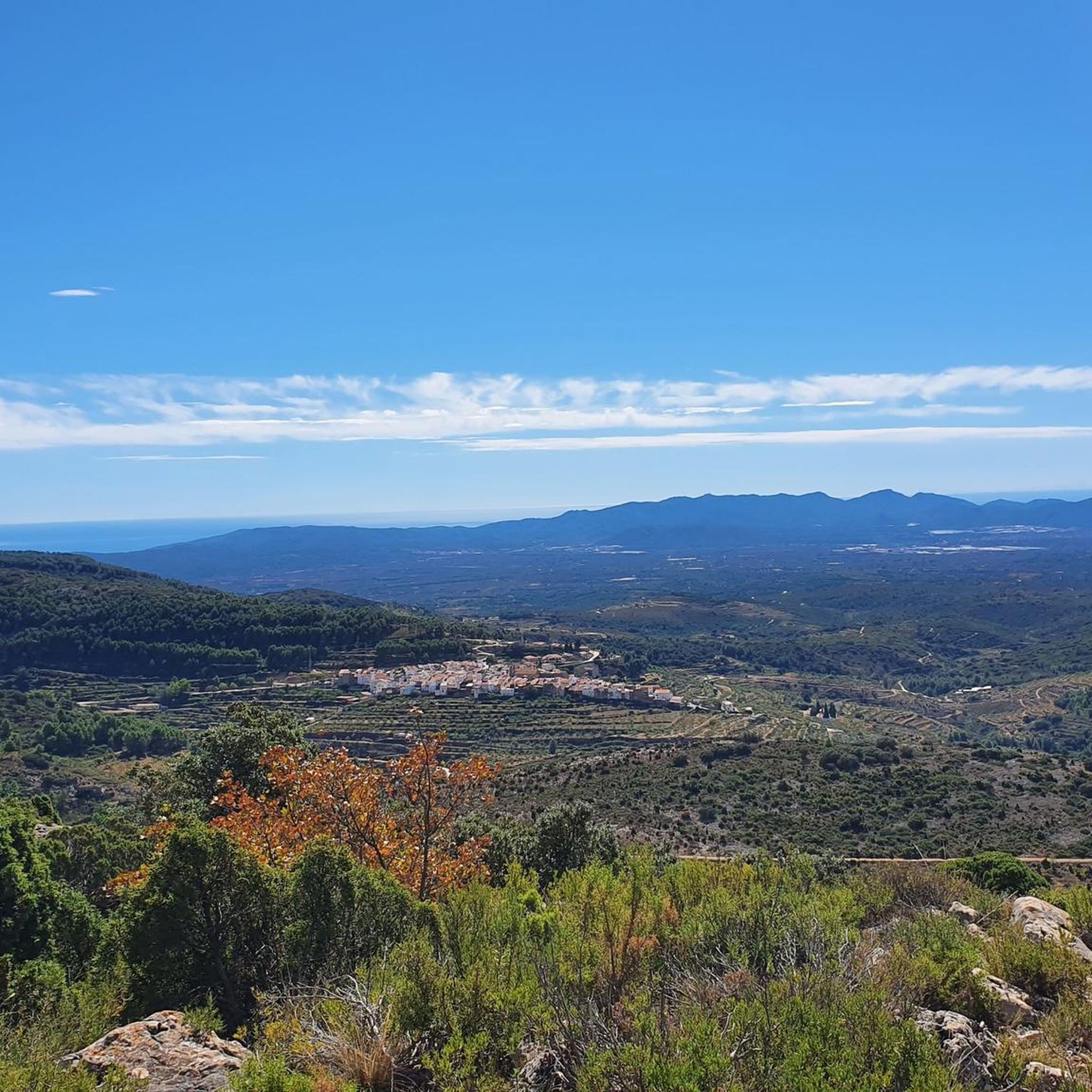
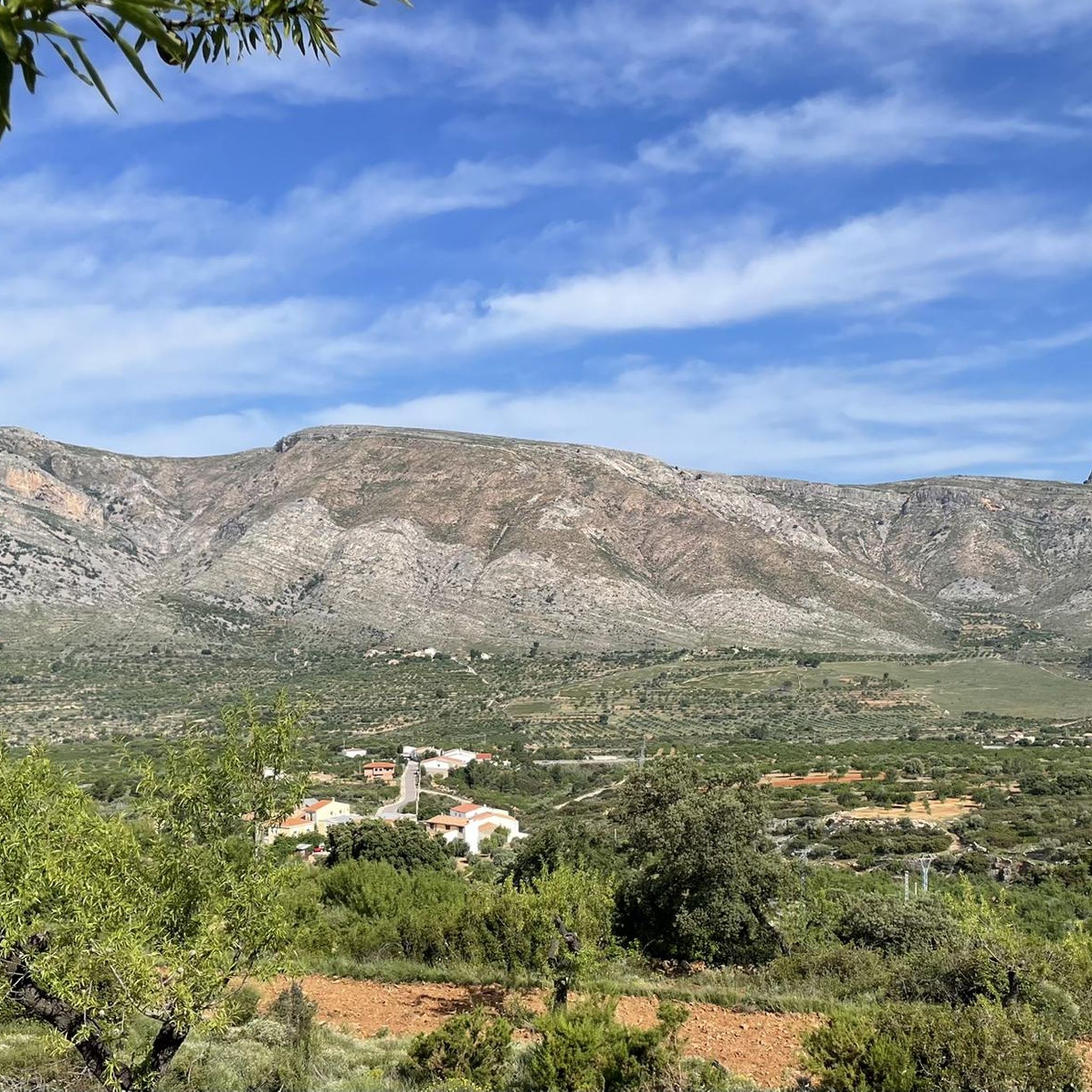
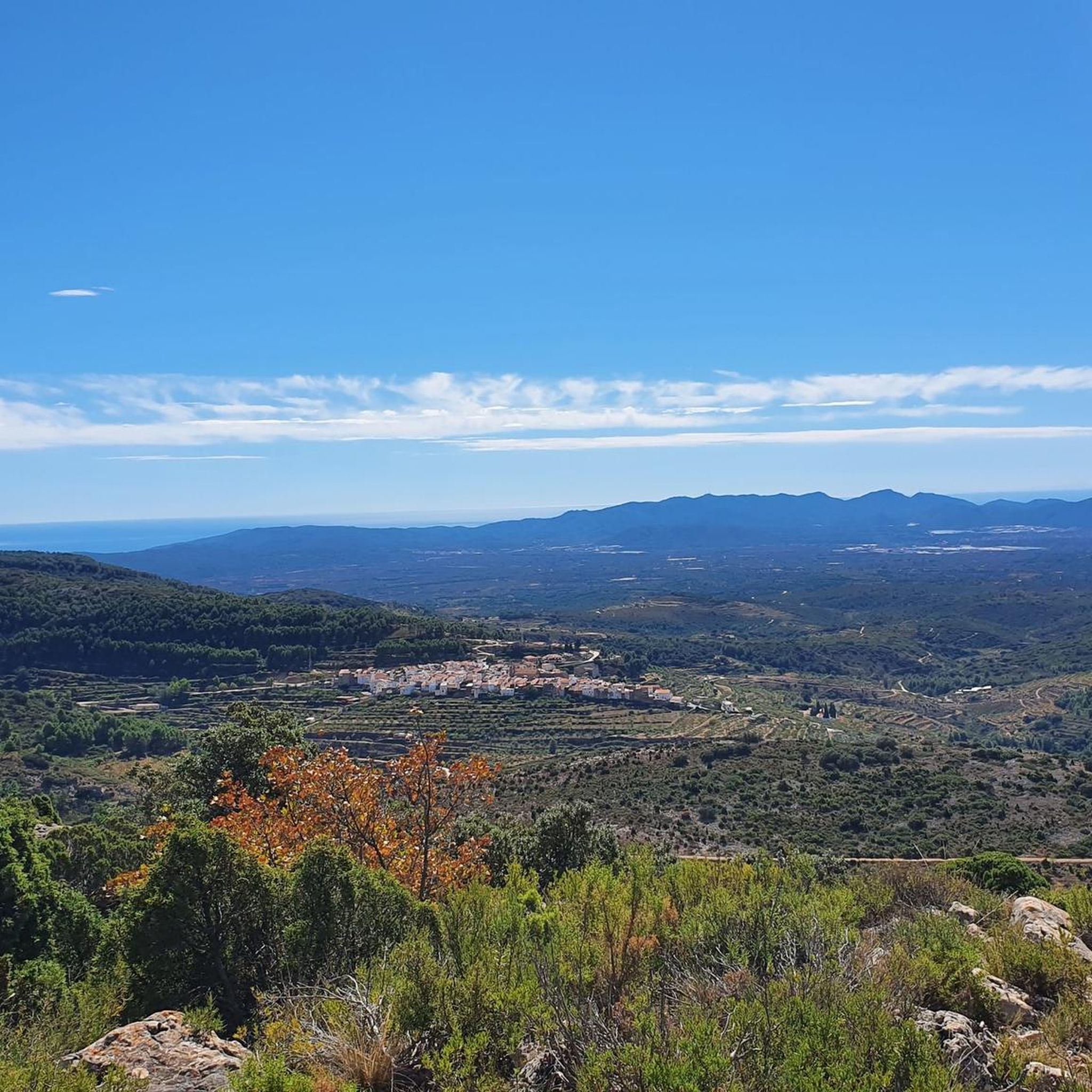
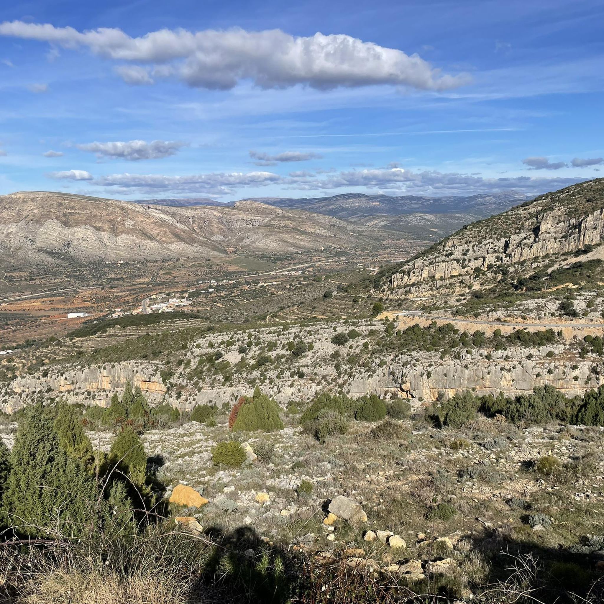
Mountain biking around Vilar De Canes offers a diverse experience across a rugged and varied natural landscape in the Alto Maestrazgo region of Castellón. The area features prominent mountains like Mount Machorral and the Sierra de Foies, alongside deep barrancos and natural springs. Riders can expect trails winding through centennial oak and holm oak forests, as well as historic rural paths. The terrain provides challenging climbs and rewarding descents, with an average altitude of 668 meters above sea level.
Best…
Last updated: July 7, 2026
5.0
(1)
1
riders
32.3km
02:51
770m
770m
This moderate 20.0-mile mountain biking route in El Alto Maestrat explores the scenic El Rivet Municipal Nature Park near Vilar de Canes.
42
riders
55.1km
05:31
1,520m
1,520m
Hard mountain bike ride. Very good fitness required. Advanced riding skills necessary.

Sign up for free
5
riders
30.9km
03:00
830m
820m
Moderate mountain bike ride. Good fitness required. Suitable for all skill levels.
5.0
(1)
14
riders
32.4km
03:14
870m
860m
Moderate mountain bike ride. Good fitness required. Suitable for all skill levels.
10
riders
46.7km
04:17
1,060m
1,060m
Hard mountain bike ride. Very good fitness required. Suitable for all skill levels.
Get access to more routes and recommendations from other explorers.
Sign up for free
Already have an account?
Our route recommendations are based on thousands of hikes, rides, and runs completed by other people on komoot.
Start today with a free account
Your next adventure awaits.
Login or Signup
Tips from the Community

Incredible mountain pass. It is quite easy to get to. The village is small and has a fountain.
0
0

An old farmhouse where a ship-shaped structure has been built and where its owner has a very peculiar kind of museum.
0
0

Beautiful village located on the GR7 hiking trail.
1
0

Historically, it was part of the Encomienda de Les Coves de Vinroma and with it it was the lordship of Blasco de Alagón between the years 1235 and 1242. Later, it was the Templars who were in charge of governing the town. In the archives and annotations of the town map of Albocácer it appears that originally the town was called Sierra de Biarach. During the first half of the 16th century, it took the name of Sarratella de Biarach and it was not until the last third of the same century when the place name of Sarratella was made official. The demographic indicators of the town have been growing throughout its history until it surpassed the barrier of 700 inhabitants in the first years of the 20th century. Since 1900 the population has been constantly reducing until it currently reaches 93 registered people. Its geographical location and orography seduced prehistoric groups. Very close to the hill where the hermitage is located there was an Epipalaeolithic site. Furthermore, in several areas of its territory, cave paintings have been discovered that are part of the Levantine rock art, declared a World Heritage Site. Social media Economic activities are dedicated to agriculture and livestock. Agriculture is traditionally based on dryland agriculture, with olive and almond cultivation predominating. Livestock farming is mainly based on grazing and pig and poultry farms. The scarce industry is related to agriculture and oil. Urban tour La Sarratella is a small town, which is very easy to get around. During the tour you can see the harmony that the houses maintain with each other, the tranquility of its people and the dark green of the mountainous landscape that can be seen from almost any area of the town. Despite being a small town, the places of interest that we can find are many and quite varied: The building of the old oven, with clear medieval traces. The torrent, located in the lower part of the town, whose complex is made up of a fountain, a water trough and some washing places. The town hall inaugurated in 1958 with some porches that limit the public part of the common part of the town halls of the medieval period. The hermitage of San Juan and the Church of San Miguel, where there is a front of the green velvet altar on which you can see Saint Michael embroidered fighting against the devil. Landscape The landscape is very mountainous, with large slopes that provide impressive views to the sea. Holm oaks and bushes scented with rosemary, thyme, lavender and other aromatic plants predominate. The climate is cool and pleasant in summer contrasting with the cold winter. The town is located at about 800 meters above sea level, although the highest point in the area is at 937 meters where the hermitage of San Juan Nepomuceno is located with an unbeatable panoramic view.
0
0

It is part of the Most Beautiful Towns in Spain and is undoubtedly worth visiting. Very quiet and small, which allows you to explore it even if you are passing through the area. Walk through its little streets and feel like you are traveling back in time to the time of the Templars!
2
0
Good place with fresh water to recover after the effort of going up there.
0
0

Culla is a beautiful medieval town that belongs to Castellón, in the Alto Maestrazgo region. In its narrow cobbled streets you can discover many charming corners, but the most notable is the castle that dominates the heights. Dating from the 12th and 13th centuries, it is listed as an Asset of Cultural Interest.
2
0
Another picturesque and quiet town in the interior of Castellón in Alto Maestrazgo. Its cobbled, narrow streets and its very beautiful stone houses make this town a place that you cannot miss visiting.
3
0
Frequently Asked Questions
How many mountain bike trails are available around Vilar de Canes?
There are over 30 mountain bike routes available around Vilar de Canes, offering a diverse range of experiences across the region's rugged and varied natural landscape.
Are there mountain bike trails suitable for beginners or families in Vilar de Canes?
While Vilar de Canes is known for its rugged terrain, there is at least one easy mountain bike trail available. The region's network also includes 20 moderate routes, which can be suitable for families or less experienced riders looking for a manageable challenge. These often traverse historic rural paths and less demanding sections of the landscape.
What kind of terrain can I expect on mountain bike trails in Vilar de Canes?
You can expect a varied and rugged terrain. Trails wind through prominent mountains like Mount Machorral and the Sierra de Foies, deep barrancos (ravines), and ancient forests of centennial oak and holm oak. The area's average altitude of 668 meters above sea level means you'll encounter challenging climbs and rewarding descents, often with spectacular panoramic views.
Are there any circular mountain bike routes in the Vilar de Canes area?
Yes, many routes in the area are circular. For example, the moderate Vilar de Canes - Benassal - El Bovalar Loop is a 32.3 km circular trail. Another option is the more challenging Font de la Teulería – Benassal loop from Benassal, which covers 54.9 km through mountainous terrain.
What are some notable landmarks or viewpoints accessible by mountain bike in Vilar de Canes?
The region offers several points of interest. You might encounter the Puerto de la Serratella, known for its demanding yet rewarding routes and excellent views. The Viewpoint of the Castle of Ares del Maestre offers panoramic vistas over the valleys and mountains of Els Ports and Alt Maestrat. Additionally, the El Rivet Municipal Nature Park provides a serene setting through ancient forests.
What is the best time of year for mountain biking in Vilar de Canes?
The region's varied landscape makes it enjoyable across different seasons. During January and February, the almond blossom transforms the area into a vibrant spectacle of color, offering a unique visual experience. Spring and autumn generally provide pleasant temperatures for riding, while shaded forest trails can offer respite during warmer summer months.
Are there any dog-friendly mountain bike trails in Vilar de Canes?
While specific regulations for dogs on trails can vary, many natural paths in Vilar de Canes are generally accessible. It's always recommended to keep dogs under control, especially in areas with livestock or protected flora like the El Rivet Municipal Nature Park. Ensure you carry enough water for both yourself and your dog, as natural springs like Font d'en Segures can be refreshing stops.
Where can I find parking for mountain bike trailheads in Vilar de Canes?
Vilar de Canes is a rural area, and parking is generally available in or near the village center. For specific trailheads, you may find designated parking areas or suitable roadside spots, particularly near popular starting points for routes that venture into the surrounding natural areas. Always check local signage for any restrictions.
What do other mountain bikers enjoy most about the trails in Vilar de Canes?
The mountain bike trails around Vilar de Canes are highly rated by the komoot community, with an average score of 4.5 stars. Riders often praise the diverse terrain, from challenging climbs to scenic descents, and the opportunity to explore ancient forests and historical paths. The blend of cultivated and wild areas provides varied scenery, making each ride unique.
Are there any particularly challenging mountain bike routes for experienced riders?
Yes, Vilar de Canes offers several challenging routes for experienced riders. The View of La Serratella – La Sarratella loop from Albocàsser is a difficult 46.0 km trail with significant elevation gain, providing a demanding yet rewarding experience through the region's rugged mountainous terrain. There are 11 difficult routes in total to explore.
Can I access Vilar de Canes mountain bike trails using public transport?
Public transport options to Vilar de Canes itself might be limited due to its rural location in the Alto Maestrazgo region. It's advisable to check local bus schedules for connections to larger towns in Castellón, from which you might need to arrange further transport. Many riders prefer to drive to the area to access the various trailheads more conveniently.
Are there any natural springs or waterways along the mountain bike trails?
Yes, the area is characterized by several barrancos (ravines) and natural springs. You might encounter Barranco de En Seguer, Rambla Carbonera, and Barranco de la Frescó, along with the Molinell River. Natural springs like Font d'en Segures provide refreshing stops and contribute to the lushness of certain areas, especially within ancient forests.
Are there any routes that pass through historic villages or offer cultural insights?
The region is rich in 'caminos de historia' (paths of history), suggesting old routes and trails that connect the rural past with the present. The Benassal – Historic Center of Benassal loop from Benassal is a moderate 32.4 km route that allows you to explore the historic center of Benassal, offering a glimpse into the local culture and architecture.
Most popular attractions around Vilar De Canes

Get inspired with the komoot mobile app


Explore more
Browse the best MTB trails in other regions.
