The best running trails around Fuentebureba
41
runners
2
runs
Jogging around Fuentebureba offers diverse landscapes within the picturesque region of Burgos, Spain. The area is characterized by varied terrain, from gentle paths to more challenging routes, often found within the Montes Obarenes-San Zadornil Natural Park. Joggers can explore natural beauty and historical charm, with many routes providing panoramic views. The region's trails cater to different fitness levels, ensuring suitable paths for all.
Best jogging routes around Fuentebureba
- The most popular jogging route is Santa Engracia Trail, a 5.9…
Last updated: October 4, 2026
2
runners
9.42km
01:23
440m
440m
This difficult 5.9-mile jogging trail in Montes Obarenes-San Zadornil Natural Park offers challenging terrain and scenic views.
9.82km
01:25
390m
390m
A difficult 6.1-mile (9.8 km) jogging route in Montes Obarenes-San Zadornil Natural Park, featuring 1280 feet (390 metres) of elevation gain

8
runners
12.3km
01:44
480m
490m
Hard run. Very good fitness required. Mostly paved surfaces. Suitable for all skill levels.
5
runners
8.75km
01:10
390m
390m
Hard run. Very good fitness required. Mostly paved surfaces. Suitable for all skill levels.
7
runners
11.9km
01:43
460m
460m
Hard run. Very good fitness required. Mostly paved surfaces. Suitable for all skill levels.
Our route recommendations are based on thousands of hikes, rides, and runs completed by other people on komoot.
Start today with a free account
Your next adventure awaits.
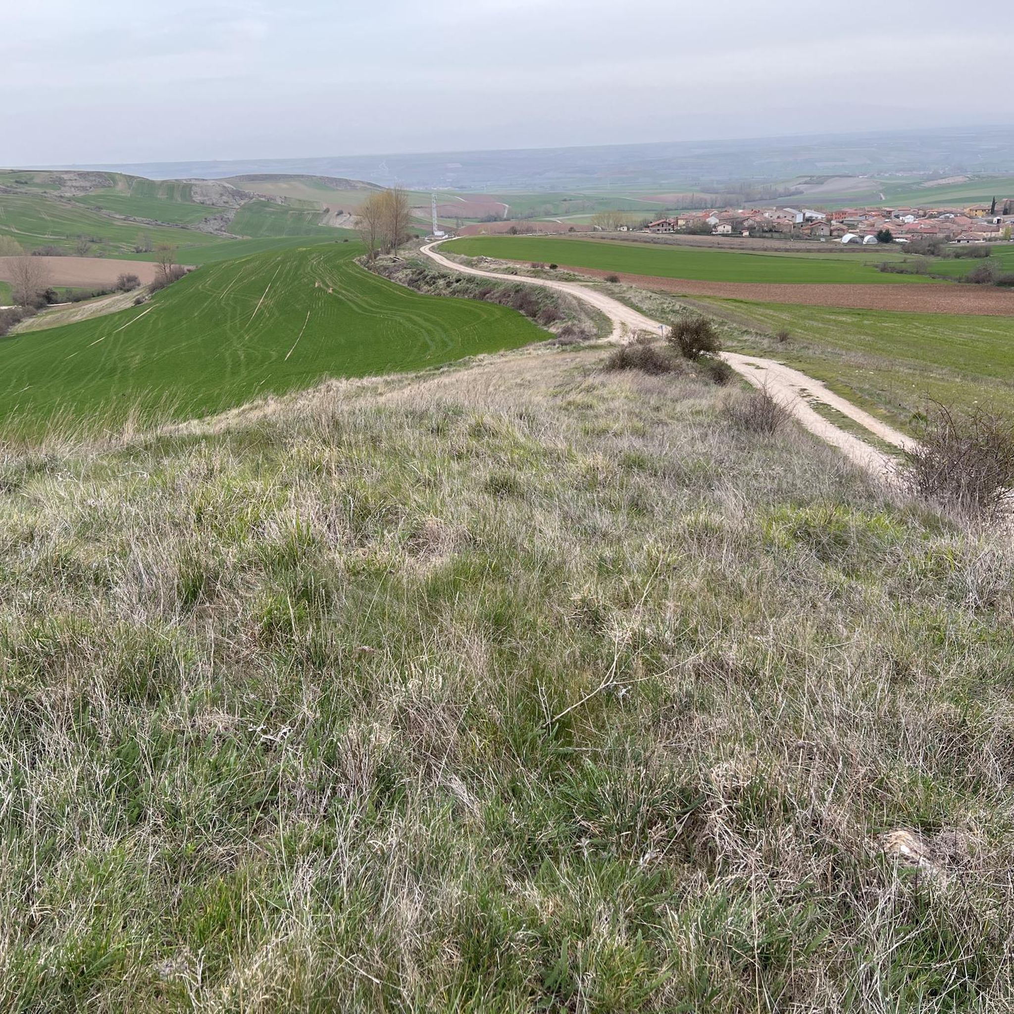
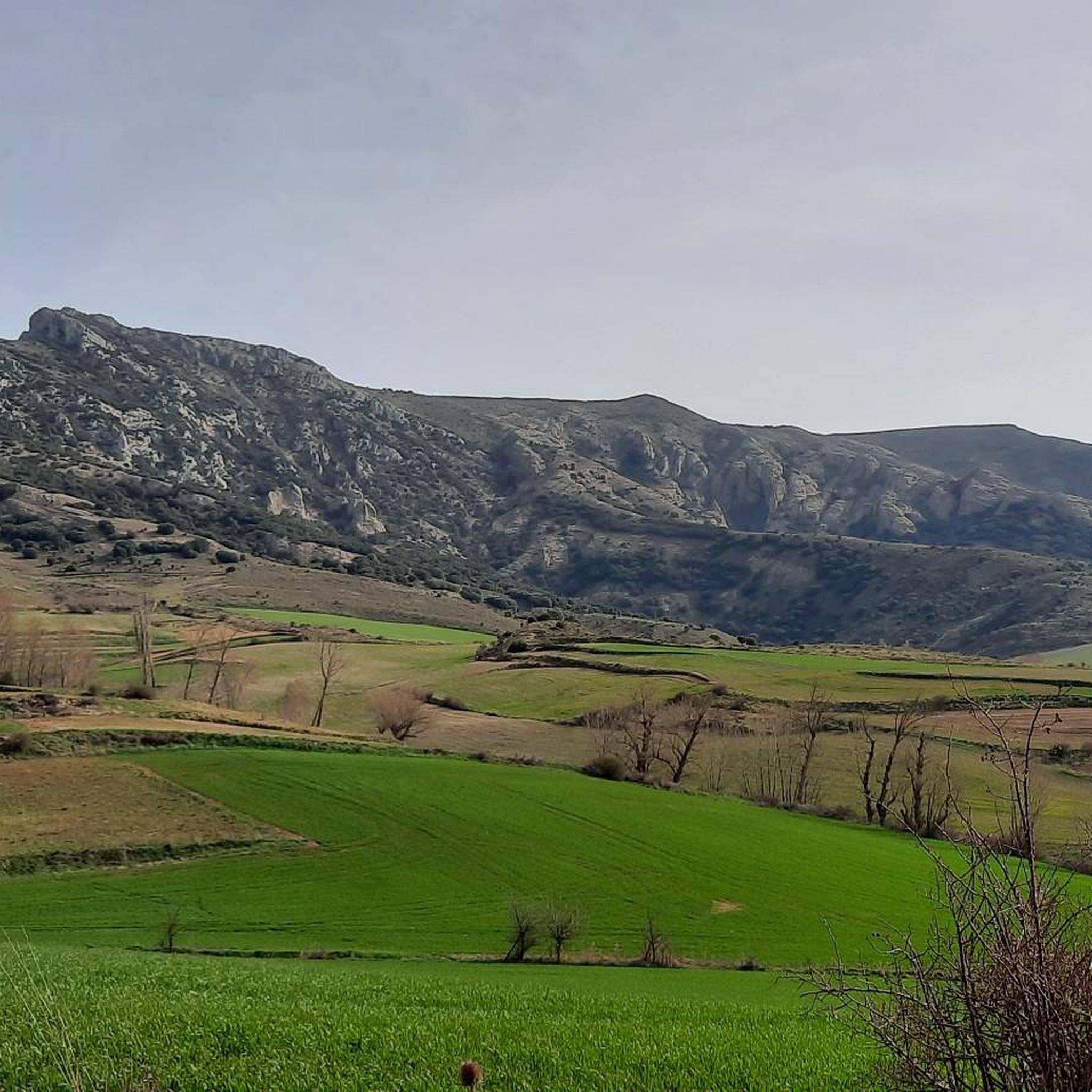
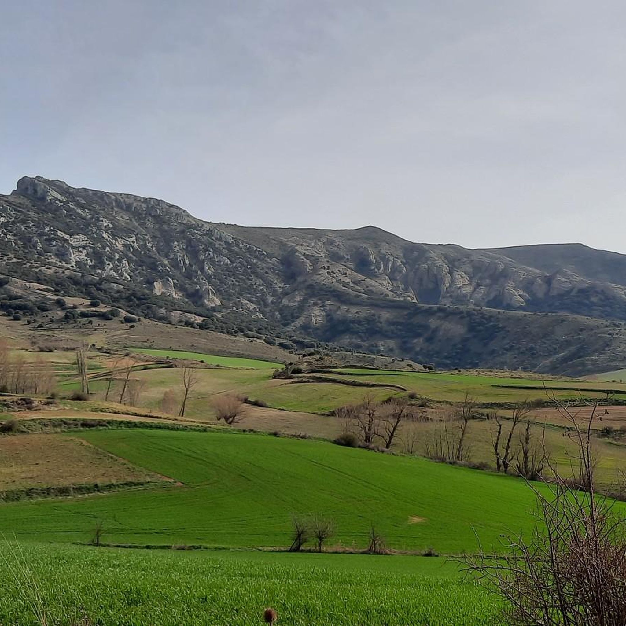
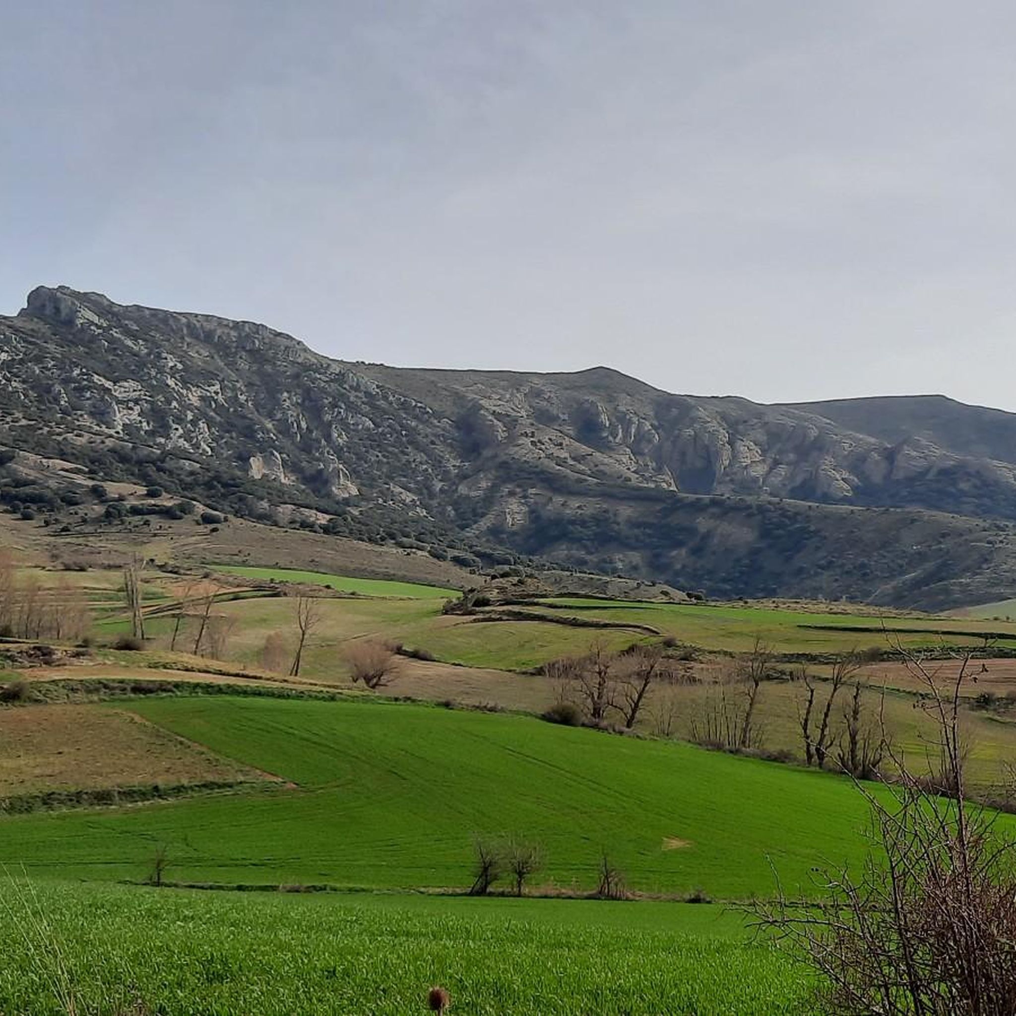
Tips from the Community

A true boundary between zones, crossed by a road, just at an altitude of 1,000 metres.
1
0
A delightful viewpoint of the entire Bureba area.
1
0
In the northern part of the town, it is worth a visit.
2
0
It is always a joy to climb these ruins.
1
0

a highly recommended area for hiking.
0
0
I love this castle, very well equipped, accessible and with great views.
3
0
At the entrance (or exit) of the village.
4
0
A good route, coming from the south.
2
0
Frequently Asked Questions
What kind of terrain can I expect on running routes around Fuentebureba?
The Fuentebureba region, particularly within the Montes Obarenes-San Zadornil Natural Park, offers a diverse range of landscapes. You'll find varying terrains, from paths that wind through natural beauty to more challenging routes with significant elevation changes. The area is known for its scenic views and natural scenery, providing an engaging environment for outdoor activity.
Are there any easy running routes for beginners in Fuentebureba?
While the routes highlighted in this guide are generally rated as difficult, the Fuentebureba region does offer a variety of trails categorized by difficulty. Easy trails are typically up to 2 hours with 300m elevation gain, often on paved surfaces, and accessible for all fitness levels. You can explore komoot for more options that suit a beginner's pace.
Can I find circular running routes in the Fuentebureba area?
Yes, Fuentebureba offers several circular running routes. For example, the Navas, Alto de – Pan Perdido loop from Navas de Bureba is a challenging 12.7 km trail that provides a rewarding circular experience through varied terrain. Another option is the Church of St. James – View of Pancorbo Gorge loop from Pancorbo, which is 8.7 km long and also circular.
What are some notable natural features or landmarks I might see while running near Fuentebureba?
The Fuentebureba area is rich in natural beauty and historical charm. While running, you might encounter impressive viewpoints such as Watchtower or TalasDelSomo. The region also features mountain passes like Portillo de Busto, which offers expansive views. The Montes Obarenes-San Zadornil Natural Park itself is a significant draw with its diverse landscapes.
Are there any waterfalls accessible from jogging routes in Fuentebureba?
While not directly on the routes listed in this guide, the beautiful Cascadas de Tobera are located near Fuentebureba. These waterfalls provide a scenic natural landmark that can be incorporated into or visited after a run, adding a rewarding natural spectacle to your outdoor experience.
What is the typical duration for running routes in Fuentebureba?
The running routes in Fuentebureba vary in length and duration depending on their difficulty and your pace. For instance, the challenging Santa Engracia Trail is approximately 9.4 km and typically takes around 1 hour 23 minutes. Longer routes like the Navas, Alto de – Pan Perdido loop from Navas de Bureba, at 12.7 km, can take about 1 hour 48 minutes.
Are there any historical sites along the running trails in Fuentebureba?
Yes, the region blends natural beauty with historical charm. You can find historical points of interest such as the Santa Engracia Fort, which could be a point of interest near some of the running paths. Additionally, the historic Castle of Frías is approximately 14.8 km from Fuentebureba, offering a cultural destination for a longer excursion.
What is the best time of year to go running in Fuentebureba?
Fuentebureba offers outdoor opportunities throughout the year. However, for the most comfortable running experience, spring and autumn generally provide milder temperatures and pleasant conditions. These seasons allow you to fully enjoy the natural scenery without the extreme heat of summer or the colder, potentially wetter conditions of winter.
What are the elevation gains like on the running routes in Fuentebureba?
The running routes around Fuentebureba, especially those rated as difficult, often feature significant elevation gains. For example, the Santa Engracia Trail has an elevation gain of approximately 438 meters, and the Navas, Alto de – Pan Perdido loop from Navas de Bureba includes over 500 meters of ascent. This makes for a challenging and rewarding workout.
Are there options for shorter, more accessible runs in the Fuentebureba area?
While many featured routes are longer and more challenging, the region does offer shorter options. For instance, the Church of St. James – Castillete de Pancorbo loop from Pancorbo is a 4.8 km route, providing a more concise running experience. The diverse trail network ensures that runners can find paths that match their desired intensity and duration.
What makes the Montes Obarenes-San Zadornil Natural Park a good place for running?
The Montes Obarenes-San Zadornil Natural Park is an excellent location for running due to its extensive network of trails and diverse natural environment. It offers a blend of varying terrains, from gentle paths to more challenging routes, all set within a beautiful natural landscape. Many trails within the park, like the PRC-BU 95 Portillo del Busto Trail, provide scenic views and an immersive outdoor experience.
Most popular attractions around Fuentebureba

Get inspired with the komoot mobile app


Explore more
Browse the best Running Trails & Routes in other regions.
