The best walks and hikes around Menasalbas
4.6
(29)
162
hikers
41
hikes
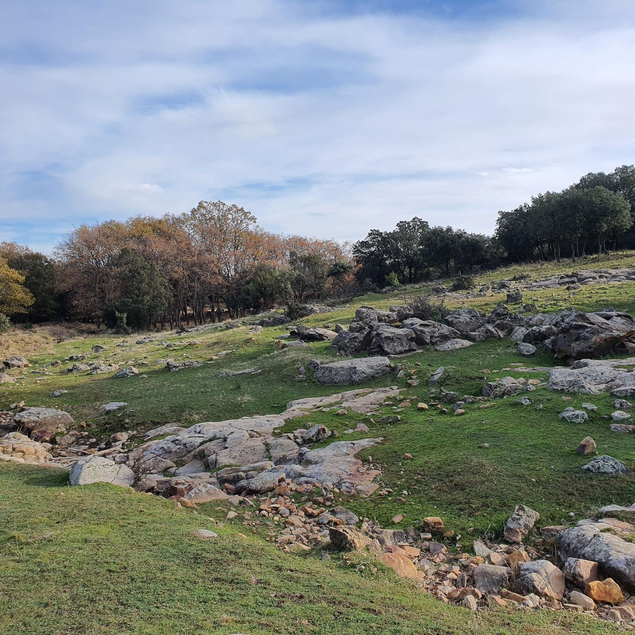
Hiking around Menasalbas, a municipality in Toledo, Spain, offers routes through varied terrain. The landscape is characterized by rolling hills, woodlands, and open countryside, with moderate elevation changes. Trails often traverse agricultural areas and natural spaces, providing views of the local environment. The region's geology includes features like ravines and elevated points such as La Morra and Peña Gorda.
Best hiking trails around Menasalbas
- The most popular hiking route is Hoz de Carboneros Trail, a 5.3 miles (8.5 km)…
Last updated: June 24, 2026
4.3
(4)
45
hikers
8.49km
02:33
270m
270m
Hike the moderate 5.3-mile Hoz de Carboneros Trail in Montes de Toledo, featuring waterfalls, lush valleys, and challenging terrain.
4.0
(1)
4
hikers
8.65km
02:43
340m
340m
Hike the moderate 5.4-mile Ascent to Las Majadillas circular trail, gaining 1106 feet through Montes de Toledo's diverse landscapes.

Sign up for free
5.0
(1)
2
hikers
18.1km
04:44
140m
140m
Hike the moderate 11.2-mile Embalse del Torcón circular route, exploring ancient necropolises and enjoying reservoir views near Menasalbas.
4.0
(1)
1
hikers
6.20km
02:07
310m
300m
Hike the moderate 3.9-mile Las Majadillas and Cañada Real Segoviana Loop, gaining 1002 feet with varied scenery and historical charm.
5.0
(1)
1
hikers
Hard hike. Very good fitness required. Easily-accessible paths. Suitable for all skill levels.
Get access to more routes and recommendations from other explorers.
Sign up for free
Already have an account?
Our route recommendations are based on thousands of hikes, rides, and runs completed by other people on komoot.
Start today with a free account
Your next adventure awaits.
Login or Signup
Tips from the Community

Port located in the southern area of the province of Toledo, almost bordering on the province of Ciudad Real, the northern face of this port (the southern one is what some call the "Toledan Alpe D'Huez") starts shortly before San Pablo of the Mountains.
0
0

Beautiful waterfall, one of which hides the Hoz de Carboneros. In the rainy season, you have to be careful, because the rocks can slip.
1
0
The route through the Hoz de Carboneros begins here, there is a flat area where you can park your car. La Hoz de Carboneros is a beautiful canyon that leads to beautiful waterfalls. It is a practically unsignposted route, except for two signs that we will find on the route.
2
0
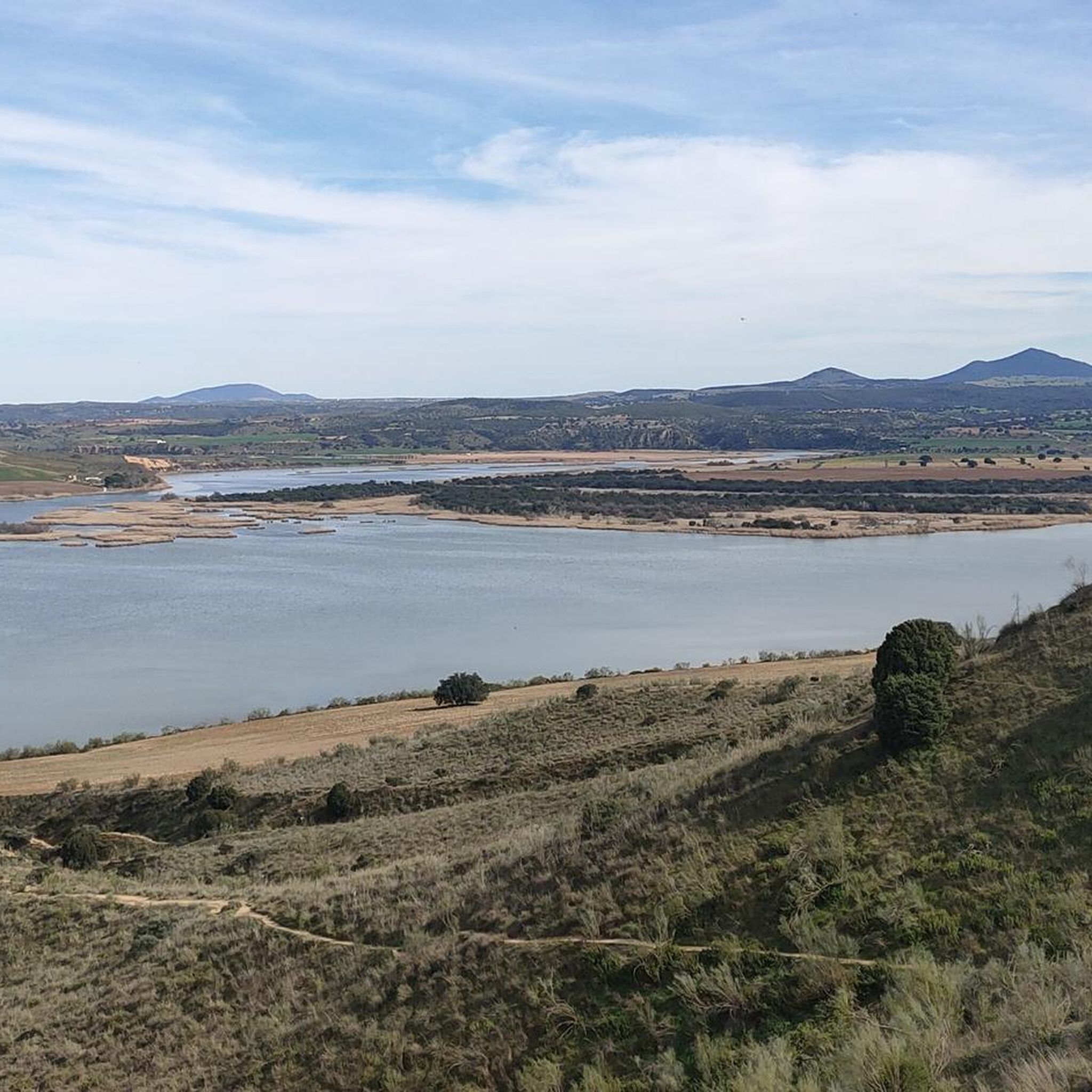
A comfortable and wide path that leads to La Morra peak (1366 m). Great views of the Montes de Toledo and the Torre de Abraham Reservoir.
1
0
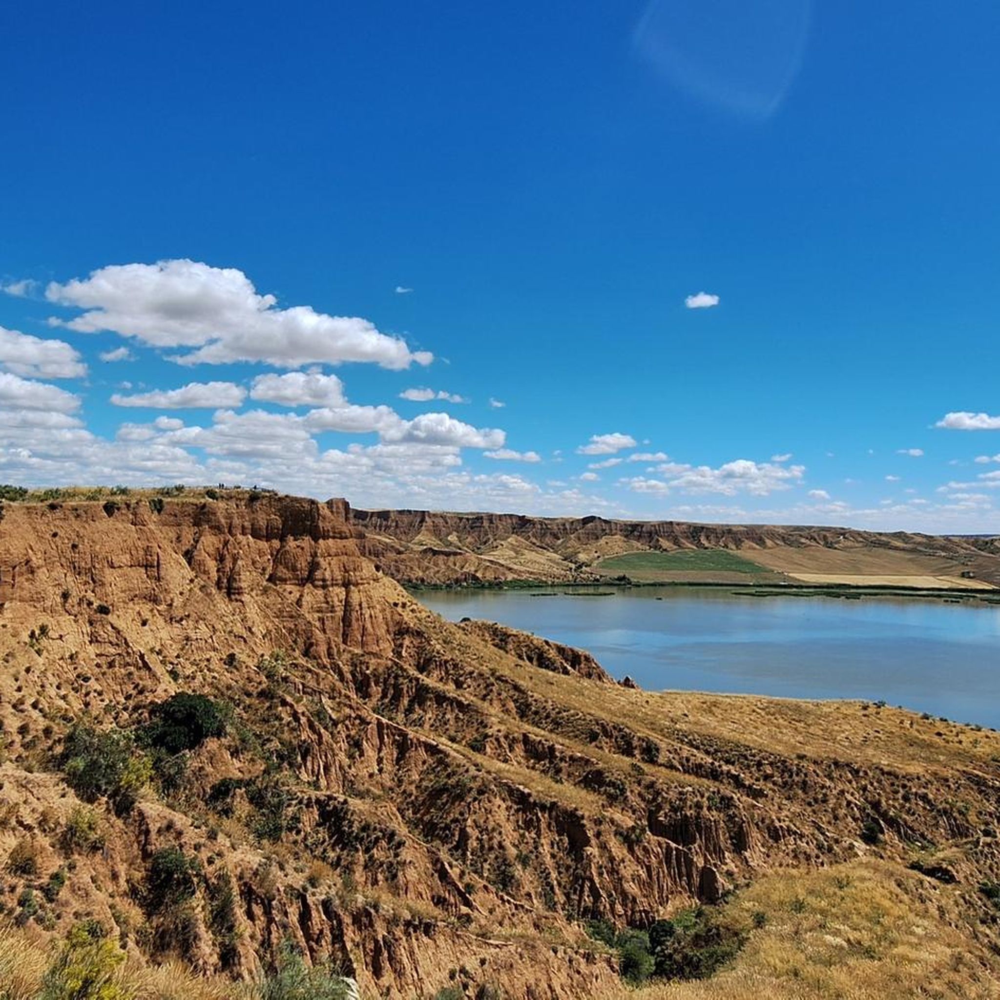
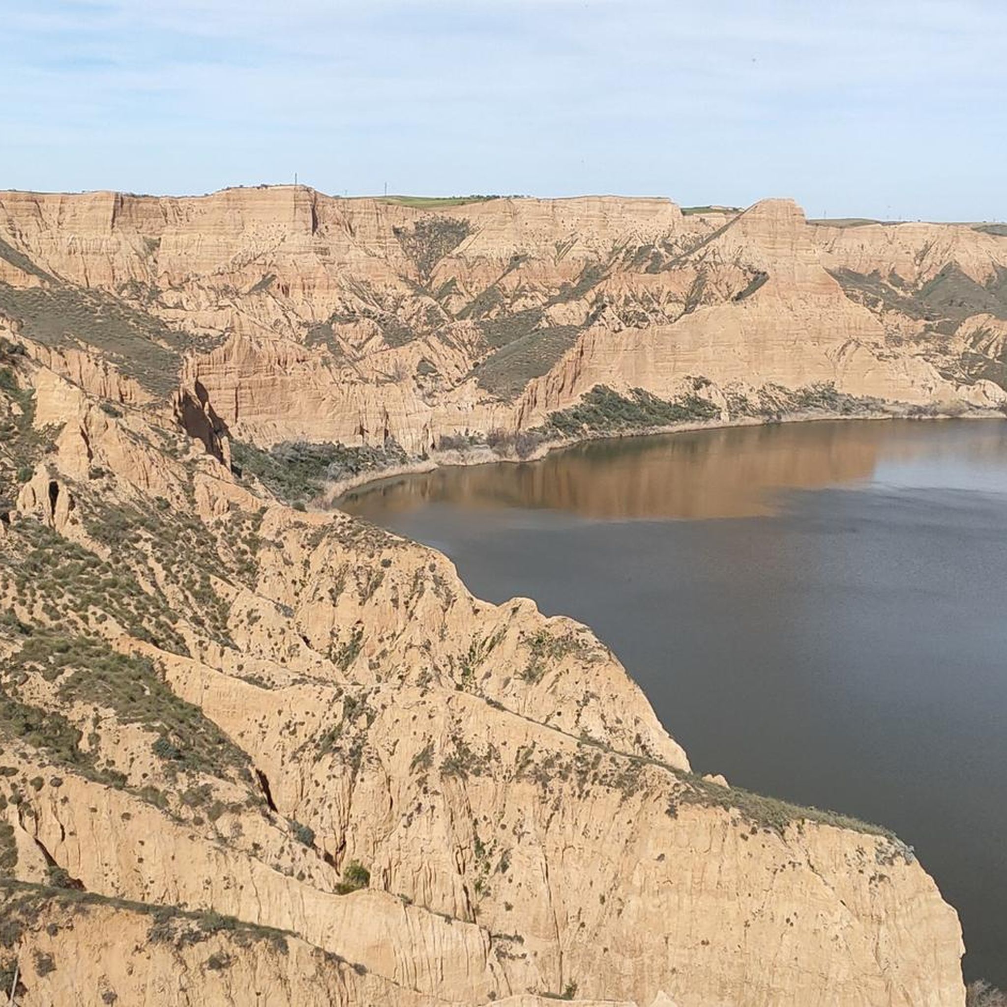
A nice path along the shore of the reservoir. Keep in mind that if it has rained a lot, the path may be covered in water and you will have to go a little higher.
0
0
Summit of 1328 m, a few kilometers from the town of San Pedro de los Montes. To get there you can choose one of several trails that are around. The views from the top of the summit will not disappoint you - you will be able to recognize several villages and even the Torre de Abraham reservoir.
1
0
Starting point for several trails, for example, to go up to Las Majadillas.
1
0

A few kilometers from the town of San Pablo de los Montes is the La Morra hill. With its peak at 1,366 meters above sea level, it offers beautiful views of the entire Toledo steppe.
3
1
Frequently Asked Questions
How many hiking trails are available around Menasalbas?
There are over 30 hiking routes in the Menasalbas area, offering a variety of experiences through rolling hills, woodlands, and open countryside. These include 6 easy routes, 18 moderate routes, and 6 difficult routes.
Are there any easy hiking trails suitable for beginners in Menasalbas?
Yes, Menasalbas offers 6 easy hiking trails. While specific names aren't listed as easy, the region's landscape of rolling hills and moderate elevation changes generally provides accessible options for those new to hiking or looking for a relaxed walk.
What kind of natural features can I expect to see on hikes in Menasalbas?
The hiking trails around Menasalbas often traverse varied terrain, including woodlands, open countryside, and agricultural areas. You can expect to encounter geological features like ravines, and elevated points such as La Morra and Peña Gorda, which offer panoramic views.
Are there any circular walks in the Menasalbas area?
Yes, many routes in Menasalbas are designed as loops. For example, the La Morra and El Cerillón Loop is a popular moderate path that ascends to elevated points, providing scenic views. Another option is the Las Majadillas and Peña Gorda Loop, which takes you through hills and open areas.
What do other hikers enjoy most about the trails in Menasalbas?
The hiking experiences in Menasalbas are highly rated by the komoot community, with an average score of 4.7 stars from over 20 reviews. Hikers often praise the varied terrain, from woodlands to open countryside, and the panoramic views offered from elevated points like La Morra and Peña Gorda.
Are there any historical or cultural landmarks to explore near the hiking routes?
Yes, the region around Menasalbas has several points of interest. You could visit the Melque Complex, a significant historical site, or explore the Menasalbas Village Center itself. For those interested in religious heritage, the Hermitage of the Virgin of the Antigua is also nearby.
What are some notable natural attractions or viewpoints in the area?
Hikers can discover several natural attractions and viewpoints. The Estena Towers offer an interesting natural monument, while the Cerillón and La Morra are popular summits and viewpoints providing expansive vistas of the landscape.
Is there a trail that offers a good overview of the region's geology?
The Hoz de Carboneros Trail is a moderate 8.5 km route that specifically explores a ravine area, showcasing some of the region's natural geological features. It's a good option for understanding the local terrain.
Are there any longer, more challenging hikes in Menasalbas?
Yes, for those seeking a longer challenge, the Menasalbas-Necropolis Trail (PR-TO 36) is a moderate 18.1 km route. Another substantial option is the La Morra and Cerillón Loop, which covers 14.6 km and offers significant elevation changes.
What is the best time of year to go hiking in Menasalbas?
Menasalbas experiences varied weather. Spring and autumn generally offer the most pleasant hiking conditions with milder temperatures. Summers can be hot, making early morning or late afternoon hikes preferable, while winters are typically mild but can be damp.
Is parking readily available near the trailheads in Menasalbas?
While specific parking areas for each trailhead are not detailed, Menasalbas is a rural municipality. Parking is generally available in or near the village center, and at various points along the main roads leading to popular hiking areas. It's advisable to check local maps or komoot tour details for specific starting points.
Most popular attractions around Menasalbas

Get inspired with the komoot mobile app


Explore more
Browse the best Hikes in other regions.
