The best walks and hikes around Pinos Puente
4.5
(342)
1,807
hikers
106
hikes
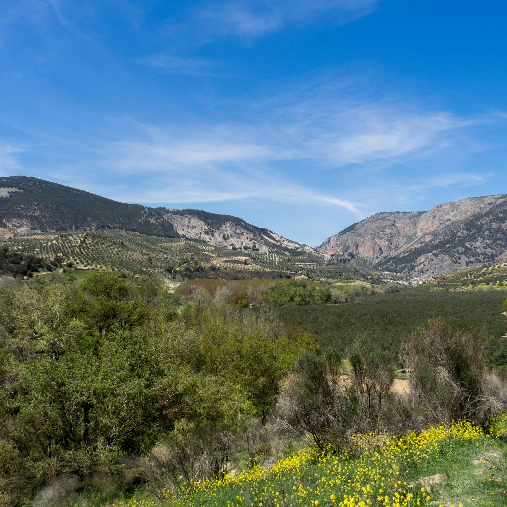
Hiking around Pinos Puente offers diverse landscapes, situated in the valley of Granada and on the western slope of Sierra Elvira. The region is characterized by the Cubillas River, the prominent Sierra Elvira mountain range, and the agricultural plains of Vega de Granada. Hikers can explore varied terrain, from river valleys to mountain peaks like Monte El Piorno, which reaches approximately 1100 meters.
Best hiking trails around Pinos Puente
- The most popular hiking route is Santa Fe Hot Springs Loop, an 8.9 miles (14.3 km) trail that takes 3 hours 44 minutes to complete. This moderate circular route leads through the Vega de Granada to the natural hot springs of Santa Fe.
- Another top favourite among local hikers is Peaks of Sierra Elvira Trail (PR-A 445), a difficult 6.4 miles (10.4 km) path. This trail offers panoramic views of Granada and the Sierra Nevada from its summits.
- Local hikers also love the Ermita de los Tres Juanes Trail, a 2.6 miles (4.1 km) trail leading through the Sierra Elvira foothills, often completed in about 1 hour 23 minutes. This moderate route leads to a historic hermitage with views of Granada.
- Hiking around Pinos Puente is defined by the Sierra Elvira mountain range, the Cubillas River valley, and the plains of Vega de Granada. The network offers options for easy, moderate, and difficult trails, catering to various ability levels.
- The routes in Pinos Puente are highly rated by the komoot community with an average score of 4.4 stars from more than 300 reviews. More than 1600 hikers have used komoot to explore Pinos Puente's varied terrain.
Last updated: July 5, 2026
3.0
(2)
6
hikers
14.3km
03:44
100m
100m
Moderate hike. Good fitness required. Easily-accessible paths. Suitable for all skill levels.
5.0
(2)
12
hikers
10.4km
03:50
430m
430m
Hard hike. Good fitness required. Sure-footedness, sturdy shoes and alpine experience required.

Sign up for free
3.0
(1)
7
hikers
4.13km
01:23
190m
190m
Moderate hike. Great for any fitness level. Mostly accessible paths. Sure-footedness required.
5
hikers
7.14km
02:02
140m
140m
Moderate hike. Good fitness required. Easily-accessible paths. Suitable for all skill levels.
3
hikers
Hard hike. Good fitness required. Sure-footedness, sturdy shoes and alpine experience required.
Get access to more routes and recommendations from other explorers.
Sign up for free
Already have an account?
Our route recommendations are based on thousands of hikes, rides, and runs completed by other people on komoot.
Start today with a free account
Your next adventure awaits.
Login or Signup
Tips from the Community

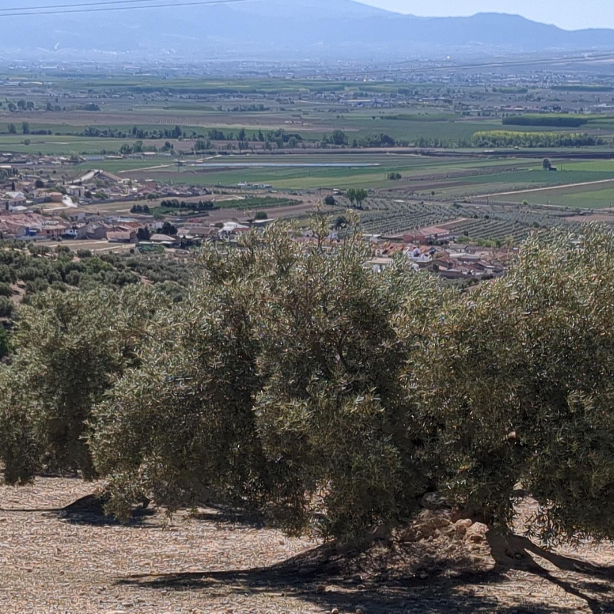
Excellent views towards Granada and the Cubillas Reservoir
1
0
The cave is a little hidden, so it's easy to miss.
0
1

Looking north you can see this imposing 766 m peak, belonging to the Sierra Elvira. It is possible to reach the summit from two trails (detouring a little): from SL-A 306 Camino de Sierra Elvira or PR-A 445 Cumbres de Sierra Elvira. If you dare to this adventure, prepare good shoes - but the views will pay you for the effort.
0
1
A district of Atarfe, also called Baños de Sierra Elvira for its famous thermal baths. It is located on the slopes of the mountain range of the same name and is a good starting point to visit this beautiful place, walking along several local and short trails.
1
1
An incredible viewpoint to enjoy wonderful views. It is a spectacular place, full of peace and recommended to spend a pleasant afternoon. Just below the viewpoint is a restaurant where the food is great.
1
0
The most important point of the SL-A 309 trail from Atarfe. The hermitage was built in 1941 and is located on the Castillejo hill, at the entrance to Sierra Elvira. Don't miss the viewpoint that is located right behind it.
1
1

The thermal baths are no longer open to the public.
1
0

Also known as Morrón Elvira, like the Sierra in which it is located, it has an altitude of 1099 m. It is accompanied by another slightly shorter bell pepper known as the tip and both together are colloquially known as Sierra Elvira's tits.
1
0
Frequently Asked Questions
How many hiking trails are available around Pinos Puente?
There are nearly 100 hiking trails around Pinos Puente, offering a wide range of options for different skill levels. You'll find everything from easy strolls to challenging mountain ascents.
What kind of terrain can I expect on hikes in Pinos Puente?
Hiking in Pinos Puente offers diverse terrain. You can explore the prominent Sierra Elvira mountain range with its peaks like Monte El Piorno, the lush valley of the Cubillas River, and the agricultural plains of the Vega de Granada. This variety provides options from gentle paths to more rugged mountain trails.
Are there any trails that lead to natural hot springs?
Yes, the Santa Fe Hot Springs Loop is a moderate circular route that takes you through the Vega de Granada directly to the natural Termas de Santa Fe hot springs. It's a popular choice for those looking to combine a hike with a relaxing natural experience.
What are the best trails for panoramic views?
For breathtaking panoramic views of Granada and the Sierra Nevada, consider the Peaks of Sierra Elvira Trail (PR-A 445). This challenging route ascends to the summits of Sierra Elvira, rewarding hikers with expansive vistas. Another option is the Ermita de los Tres Juanes Trail, which offers wonderful views of Granada from the Sierra Elvira foothills.
Are there any family-friendly hiking options in Pinos Puente?
Yes, Pinos Puente offers several easy and moderate trails suitable for families. While specific family-friendly routes aren't highlighted by name, the region has 29 easy routes and 59 moderate routes, many of which are less strenuous and can be enjoyed by all ages. Look for trails with lower elevation gains and shorter distances for a comfortable family outing.
Can I bring my dog on the hiking trails?
Many trails in the Pinos Puente area are dog-friendly, allowing you to enjoy the natural beauty with your canine companion. It's always recommended to keep dogs on a leash, especially in areas with wildlife or livestock, and to carry water for both yourself and your pet.
What is the best season for hiking in Pinos Puente?
The best seasons for hiking in Pinos Puente are typically spring and autumn. During these times, the weather is mild and pleasant, making for comfortable hiking conditions. Summers can be very hot, especially at midday, while winters can bring cooler temperatures and occasional snow at higher elevations in Sierra Elvira.
Are there any historical landmarks or points of interest along the trails?
Yes, the region around Pinos Puente is rich in history. The Ermita de los Tres Juanes Trail leads to a historic hermitage. Beyond the trails, you can explore cultural sites like the Pinos Puente Bridge, La Casa de los Duques de Abrantes, and the Church of La Iglesia de la Consolación.
What are the most challenging hikes in the area?
For experienced hikers seeking a challenge, the Peaks of Sierra Elvira Trail (PR-A 445) is a difficult 10.4 km path with significant elevation gain. Another demanding option is the Sierra Elvira Integral Trail, which covers multiple peaks including Morrón de la Punta, de Enmedio, and El Piorno.
Where can I find parking for trailheads in Pinos Puente?
Parking availability varies by trailhead. For routes starting directly from Pinos Puente, you can often find street parking within the town. For trails deeper into Sierra Elvira or the Vega de Granada, look for designated parking areas near popular starting points. It's advisable to check specific route details for recommended parking locations.
What do other hikers enjoy most about hiking in Pinos Puente?
The hiking routes in Pinos Puente are highly rated by the komoot community, with an average score of 4.4 stars from over 300 reviews. Hikers frequently praise the diverse landscapes, from the panoramic views of Sierra Elvira to the tranquil paths along the Cubillas River and through the Vega de Granada, as well as the variety of trails suitable for different fitness levels.
Are there any circular hiking routes available?
Yes, Pinos Puente offers several circular hiking routes. A notable example is the Santa Fe Hot Springs Loop, which is a moderate circular trail. Many other routes in the area are designed as loops, allowing you to start and end at the same point without retracing your steps.
Most popular routes around Pinos Puente
Most popular attractions around Pinos Puente

Get inspired with the komoot mobile app


Explore more
Browse the best Hikes in other regions.
