The best walks and hikes around Mira
4.6
(72)
358
hikers
30
hikes
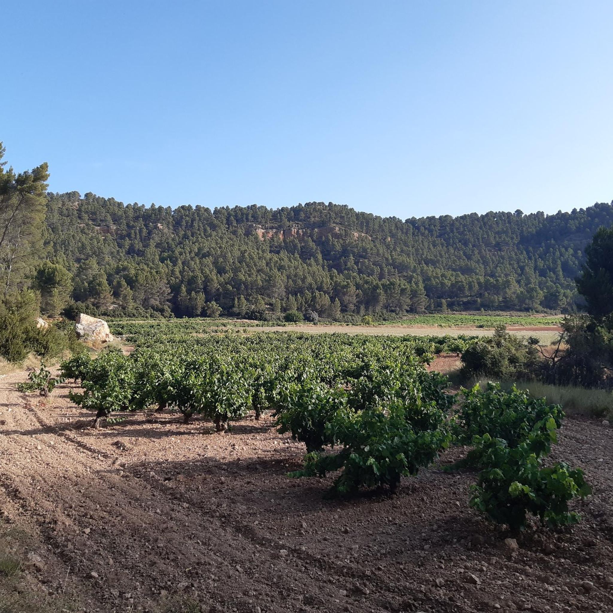
Hiking around Mira offers a diverse landscape characterized by river valleys, gorges, and varied terrain. The region features trails that traverse natural water formations, such as those found along the Cabriel River, and paths that lead through more rugged, elevated areas. Hikers can explore a mix of easy to difficult routes, providing options for different activity levels.
Best hiking trails around Mira
- The most popular hiking route is Los Cuchillos del Cabriel Trail, an easy 4.0 miles (6.4 km)…
Last updated: June 27, 2026
4.2
(5)
48
hikers
6.38km
01:42
60m
60m
Hike the easy 4.0-mile Los Cuchillos del Cabriel Trail to see unique knife-like rock formations and river views in Hoces del Cabriel Natural
4.4
(7)
18
hikers
14.9km
04:13
320m
320m
Hike the moderate 9.3-mile Las Chorreras Trail through the Monumento Natural Chorreras del Cabriel, featuring waterfalls and turquoise pools

Sign up for free
5.0
(1)
2
hikers
20.9km
06:15
450m
450m
Hike the difficult 13.0-mile Four Rivers Trail in Monumento Natural Chorreras del Cabriel, gaining 1466 feet over 6 hours.
5.0
(5)
40
hikers
13.7km
03:48
240m
240m
Moderate hike. Good fitness required. Easily-accessible paths. Suitable for all skill levels.
4
hikers
29.1km
08:35
870m
870m
Hard hike. Very good fitness required. Easily-accessible paths. Suitable for all skill levels.
Get access to more routes and recommendations from other explorers.
Sign up for free
Already have an account?
Our route recommendations are based on thousands of hikes, rides, and runs completed by other people on komoot.
Start today with a free account
Your next adventure awaits.
Login or Signup

Tips from the Community

The path leads across private land. Passage is not possible.
0
0
The path leads across private property. Passage is not possible.
0
0

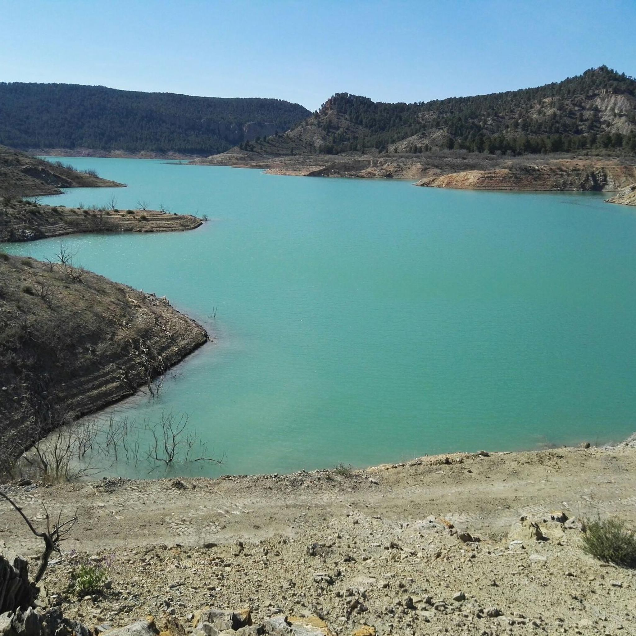
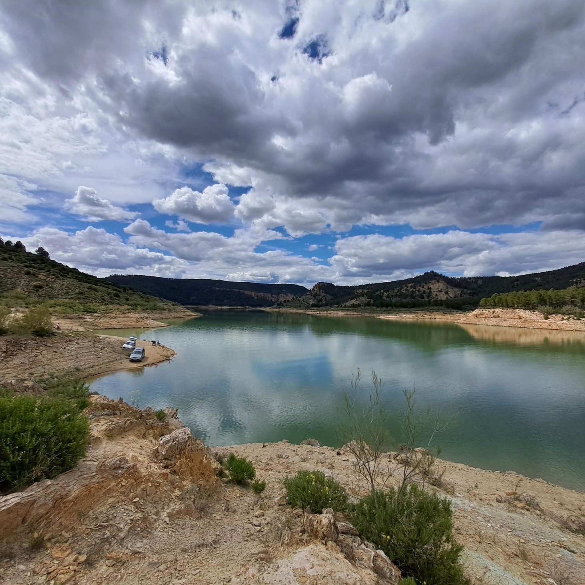
The Contreras dam (Embalse de Contreras) is a 129-meter-high arch dam built in 1972. Located on the border of the provinces of Cuenca (Castilla-La Mancha) and Valencia, the dam spans the Cabriel and Guadazaón rivers. The reservoir serves mainly for water supply, flood protection, and irrigation.
10
1

Hiking: Popular routes, such as the "Engineer's House" trail, offer viewpoints overlooking the reservoir and the Cabriel River gorges. Guided tours: Occasionally, the Hydrographic Confederation and the Villargordo Town Council organize tours and talks in the village of Contreras. Historic roads: The abandoned section of the old N-III highway and the Contreras Hills attract engineering enthusiasts, with their original 20th-century asphalt and signage.
8
0
Contreras Dam (Contreras Reservoir), located on the border between Cuenca and Valencia provinces. It lies between Villargordo del Cabriel (Valencia) and the Cuenca municipalities of La Pesquera, Mira, Enguídanos, and Minglanilla, spanning the Cabriel and Guadazaón rivers. Below the dam is the historic Contreras Bridge, built between 1845 and 1851 by Lucio del Valle, part of the old zigzag mountain pass.
9
0

It was built in 1972 at the confluence of the Cabriel and Guadazaón rivers. The dam height is 129 metres. Its purpose is, among other things, to supply water to the city of Valencia. The Contreras Bridge was built between 1845 and 1851 by the engineer Lucio del Valle. To descend the ravine, he had to build a zigzag road that formed the port of Contreras.
2
1

In SUMMER .... Take a bath!!!!!!!! In WINTER .... ?¿?¿
0
1
Walking along paths and roads. The land is also cool!
0
1
Frequently Asked Questions
How many hiking trails are available around Mira?
There are over 30 hiking routes around Mira, offering a diverse range of experiences. These include easy riverside strolls, moderate paths, and more challenging long-distance routes.
What makes the hiking trails around Mira unique?
Hiking around Mira is characterized by its stunning river valleys, gorges, and varied terrain. You'll find natural water formations along the Cabriel River, unique rock formations like the 'knives' on the Los Cuchillos del Cabriel Trail, and areas with significant elevation gain.
Are there easy hiking options in Mira?
Yes, Mira offers several easy hiking routes, with 12 trails categorized as easy. A great option for a relaxed walk is the Los Cuchillos del Cabriel Trail, which is 4.0 miles (6.4 km) long and takes about 1 hour 41 minutes to complete, featuring unique rock formations along the Cabriel River.
Are there any trails with waterfalls or natural pools?
Absolutely! The Las Chorreras Trail is renowned for its cascades and natural pools along the Cabriel River. You can also visit Las Chorreras directly, which is a popular highlight in the area.
What do other hikers enjoy most about the trails in Mira?
The trails in Mira are highly rated by the komoot community, with an average score of 4.6 stars from over 60 reviews. Hikers often praise the diverse terrain, the beautiful river landscapes, and the variety of routes suitable for different ability levels.
Are there any challenging long-distance hikes in Mira?
Yes, for those seeking a challenge, Mira has 5 difficult routes. The Four Rivers Trail is a notable example, covering 13.0 miles (20.9 km) with significant elevation gain, typically taking around 6 hours 15 minutes to complete.
Can I find trails that offer panoramic views?
Yes, the region around Mira features several viewpoints that offer expansive vistas. Highlights such as Hoz del Rabo de la Sartén Viewpoint, La Fonseca Viewpoint, and Peña Azul Viewpoint provide stunning panoramic views of the gorges and surrounding landscapes.
Are there any circular hiking routes in Mira?
Yes, there are several circular routes available. For instance, the Four Rivers Trail – Las Chorreras loop from Enguídanos is a moderate 13.7 km (8.5 miles) circular hike that allows you to experience the river and its features.
What kind of landmarks or historical sites can I see while hiking?
Beyond natural beauty, you can encounter interesting landmarks. The Contreras Bridge - Cabriel River is a notable structure, and you can also explore historical sites like the Peñas Blancas Path Trench and the Contreras Trench.
How long do hikes in Mira typically last?
Hike durations vary widely depending on the route's length and difficulty. Easy trails like the Los Cuchillos del Cabriel Trail can be completed in under two hours, while more challenging routes such as the Four Rivers Trail can take over six hours.
Are there any gorges to explore in the Mira area?
Yes, the region is well-known for its impressive gorges. The Cuchillas de Contreras Trail is a prime example, offering a chance to hike through dramatic gorge landscapes and experience the unique geological formations of the area.
Most popular attractions around Mira

Get inspired with the komoot mobile app


Explore more
Browse the best Hikes in other regions.
