The best walks and hikes around Sierra De Lóquiz
4.5
(478)
3,515
hikers
237
hikes
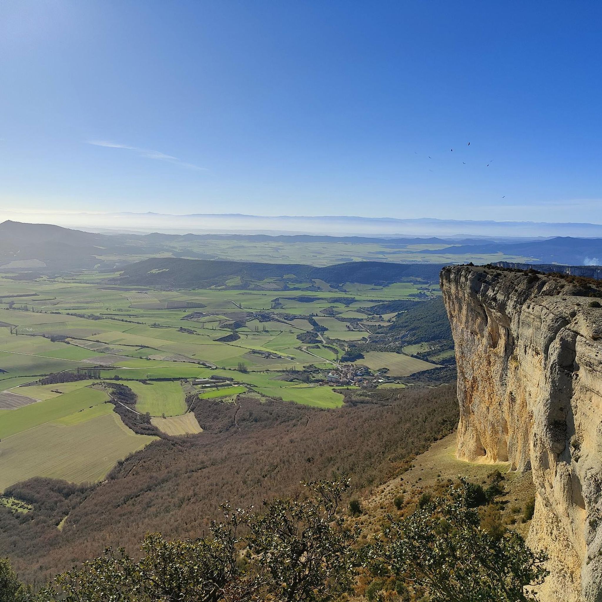
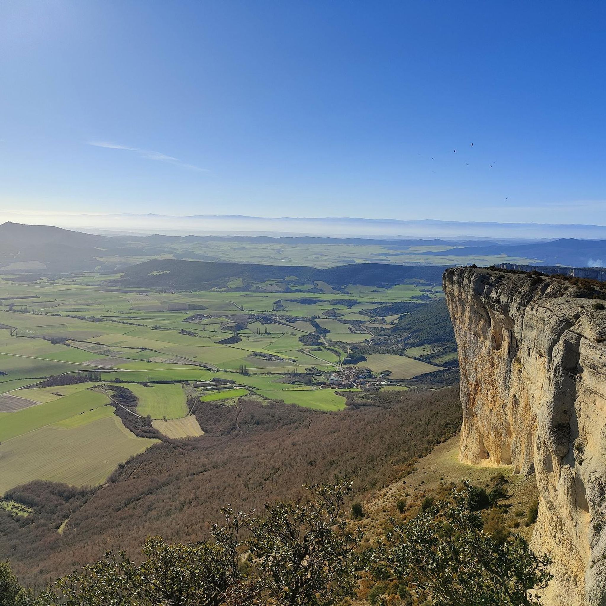
Hiking around Sierra De Lóquiz offers trails through a landscape characterized by limestone formations, dense holm oak forests, and varied terrain. The region features rocky outcrops and natural water features, providing diverse environments for outdoor exploration. Trails often lead through wooded areas and open spaces, with elevations that offer panoramic views of the surrounding countryside. The area's geology contributes to its distinct natural beauty, making it suitable for different hiking experiences.
Best hiking trails around Sierra De Lóquiz
- The most…
Last updated: July 9, 2026
4.0
(6)
36
hikers
Moderate hike. Good fitness required. Easily-accessible paths. Suitable for all skill levels.
5.0
(3)
30
hikers
9.22km
03:15
500m
500m
Moderate hike. Good fitness required. Easily-accessible paths. Suitable for all skill levels.

Sign up for free
5.0
(6)
22
hikers
6.60km
02:34
460m
460m
Moderate hike. Good fitness required. Easily-accessible paths. Suitable for all skill levels.
5.0
(2)
8
hikers
6.70km
01:50
100m
100m
Easy hike. Great for any fitness level. Easily-accessible paths. Suitable for all skill levels.
5.0
(2)
9
hikers
11.1km
03:29
430m
430m
Moderate hike. Good fitness required. Easily-accessible paths. Suitable for all skill levels.
Get access to more routes and recommendations from other explorers.
Sign up for free
Already have an account?
Our route recommendations are based on thousands of hikes, rides, and runs completed by other people on komoot.
Start today with a free account
Your next adventure awaits.
Login or Signup

Tips from the Community

Curious name and curious area of gray stones.
1
0
A very curious bridge, the return point to San Martin de Amescoa.
1
0
A very cool bridge, it reminded me of one in the Pyrenees.
1
0
A curious area of small pools, now almost without water.
1
0

Known as La Caldera, in this place on the bed of the Ularra stream are these natural pools of water. In rainy seasons they fill up and become an ideal place to take a refreshing bath.
1
0
With a more solid and robust construction than several of the other hermitages found in the Lokiz mountain range, the basilica offers an ideal refuge with wonderful views to take a break on your route and enjoy the beautiful surroundings that surround it.
1
0
Something curious place that draws attention for its large stone table that seems to have been built for giants. The site has a fountain and also offers beautiful views of the Ojo de Ollabarren massif.
1
0
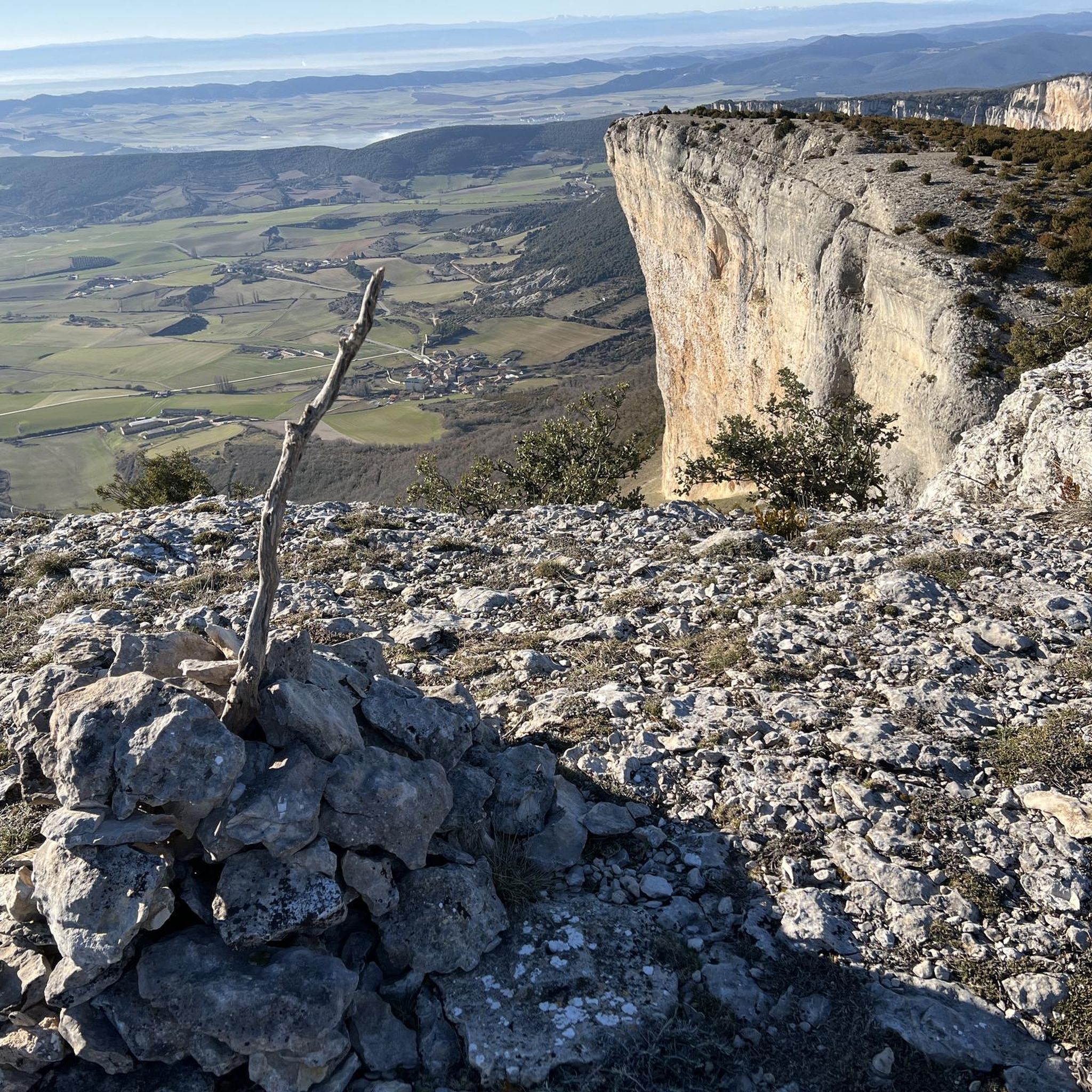
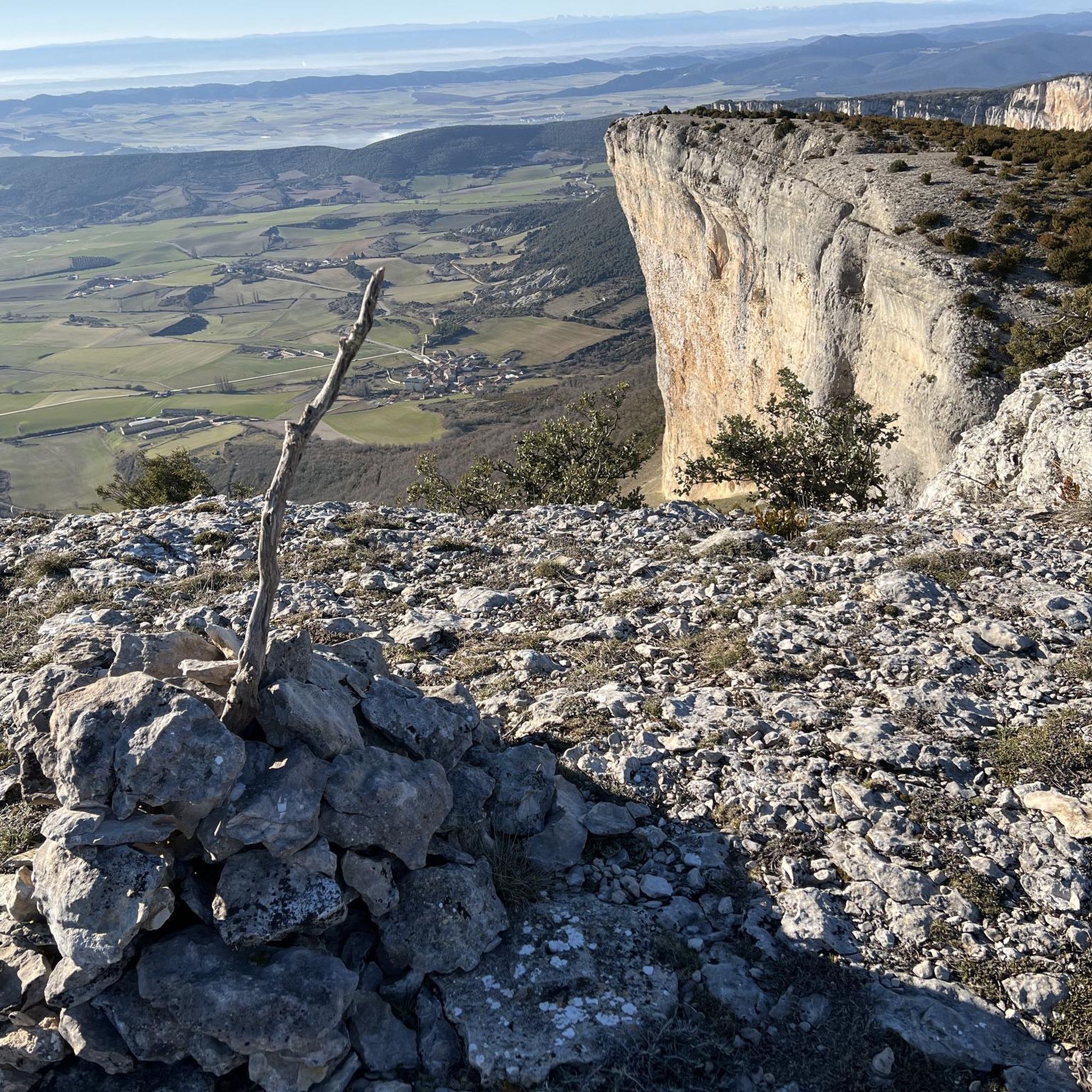
Located at the top of the Sierra de Lokiz, it is an ideal place to take a break and appreciate the wonderful views from up there. To get here you can take the path that passes through the Ojo de Ollabarren, an impressive passageway in the rock of about 30 m that will surprise you.
1
0
Frequently Asked Questions
How many hiking trails are available in Sierra De Lóquiz?
There are over 240 hiking routes recorded in Sierra De Lóquiz, offering a wide range of options for different skill levels and preferences.
What kind of terrain can I expect when hiking in Sierra De Lóquiz?
Sierra De Lóquiz is characterized by limestone formations, dense holm oak forests, and varied terrain. You'll encounter rocky outcrops, wooded areas, and open spaces, with elevations that provide panoramic views of the surrounding countryside.
Are there easy hiking trails in Sierra De Lóquiz suitable for beginners?
Yes, Sierra De Lóquiz offers over 50 easy hiking trails. An example is the Puente de Argonga – Las Calderas loop from Améscoa Baja, which is 4.2 miles (6.7 km) long and features minimal elevation gain.
Are there challenging hikes for experienced trekkers in Sierra De Lóquiz?
Yes, for those seeking a challenge, there are over 40 difficult routes in Sierra De Lóquiz. These trails often involve significant elevation changes and more rugged terrain, providing a rewarding experience for seasoned hikers.
What do other hikers enjoy most about Sierra De Lóquiz?
The area is highly rated by the komoot community, with an average score of 4.5 stars from over 300 reviews. Hikers often praise the diverse landscapes, the natural beauty of the limestone formations, and the well-maintained paths that lead to stunning viewpoints.
Are there circular hiking routes in Sierra De Lóquiz?
Many of the trails in Sierra De Lóquiz are circular, allowing you to start and end your hike at the same point. A popular moderate option is the Basílica de Santiago de Lokiz y Ojos de Ollobarren – circular desde Ganuza, which is 3.9 miles (6.3 km) long.
What natural attractions can I see along the trails in Sierra De Lóquiz?
Sierra De Lóquiz is rich in natural beauty. You can discover attractions such as the Tobería Waterfalls, the Source of the Urederra River, and the intriguing Cueva de Los Cristinos. Don't miss the Ubaba Viewpoint (Pilatos Balcony) for expansive views.
Are there any prominent peaks to hike in Sierra De Lóquiz?
Yes, the region offers several peaks for hiking. Notable summits include San Cipriano, Montejurra, and Costalera, which provide challenging ascents and rewarding vistas.
Are there family-friendly hiking options in Sierra De Lóquiz?
Many of the easier trails are suitable for families, offering shorter distances and less demanding terrain. These routes allow families to enjoy the natural environment together, often leading to interesting natural features or viewpoints.
What is the typical duration of hikes in Sierra De Lóquiz?
Hikes in Sierra De Lóquiz vary greatly in duration. Many moderate routes, like the Santiago Rock – OjoDeSanPrudencio loop from Ganuza, can be completed in about 2 to 3 hours. Longer, more challenging trails can take half a day or more.
Is public transport available to access hiking areas in Sierra De Lóquiz?
Public transport options directly to trailheads within Sierra De Lóquiz are generally limited. It is often recommended to travel by car to reach the starting points of most hiking routes, especially those deeper within the natural park.
Where can I find parking for hiking trails in Sierra De Lóquiz?
Parking is typically available near the main villages and popular trailheads surrounding Sierra De Lóquiz, such as Ganuza or Améscoa Baja. These spots often serve as convenient starting points for various routes.
Most popular routes around Sierra De Lóquiz
Most popular attractions around Sierra De Lóquiz

Get inspired with the komoot mobile app


Explore more
Browse the best Hikes in other regions.
