The best MTB trails around Villaverde De Guadalimar
4.8
(17)
701
riders
11
rides
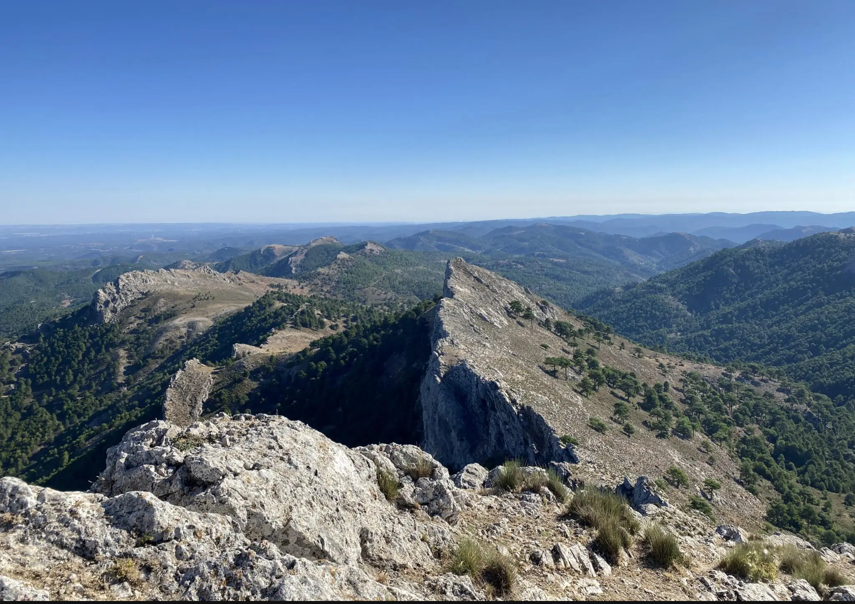
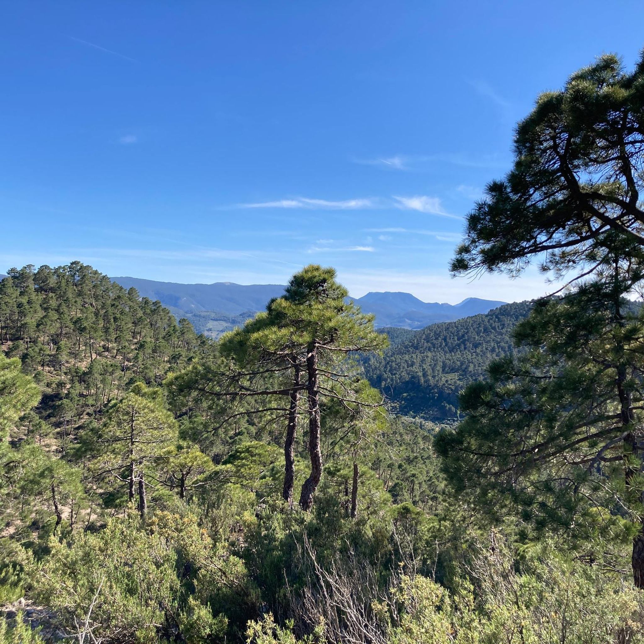
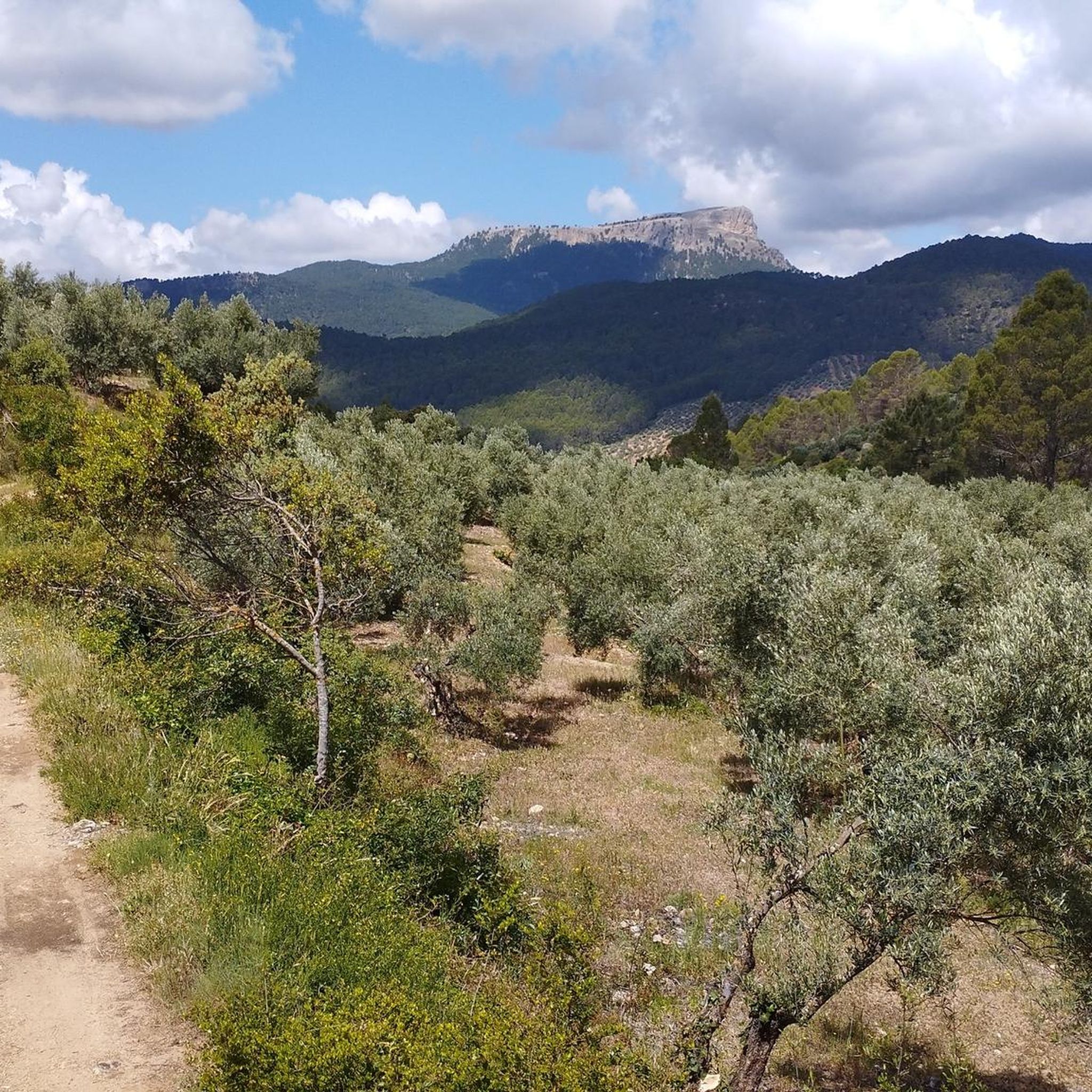
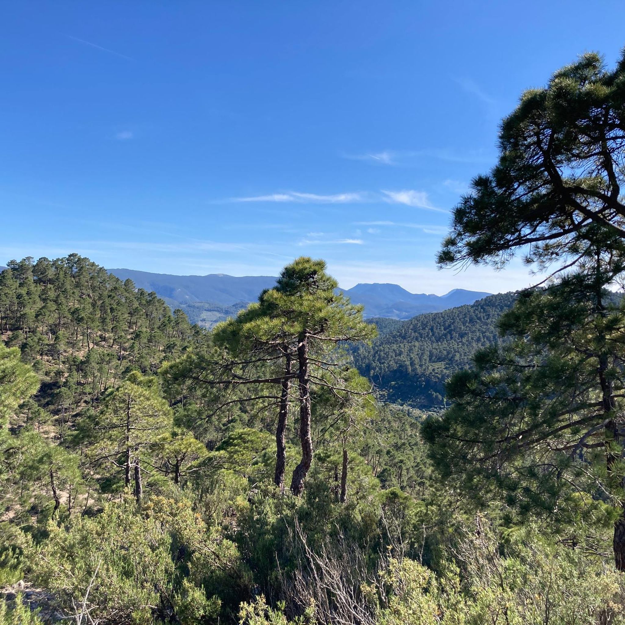
Mountain biking around Villaverde De Guadalimar offers diverse and rugged natural landscapes within the Sierra de Alcaraz and the Parque Natural de los Calares del Río Mundo y de la Sima. The region features significant elevation changes, from river valleys to peaks reaching nearly 1,800 meters. Karst formations, limestone rock walls, and dense forest tracks characterize the terrain, providing varied surfaces for mountain bike trails. This area is known for its challenging descents and panoramic viewpoints across the Guadalimar Valley.
…Last updated: August 17, 2026
Tackle the difficult 27.5-mile El Monte Padrón mountain bike route in Parque Natural de Los Calares del Mundo y de la Sima, gaining 5879 fee
24.9km
03:03
970m
970m
Challenge yourself on the difficult 15.5-mile Piedra del Cambrón Loop Trail, a mountain bike route with 3167 feet of elevation gain.

Sign up for free
15.4km
01:28
350m
350m
Moderate mountain bike ride. Good fitness required. Suitable for all skill levels.
54
riders
73.1km
08:13
2,200m
2,200m
Hard mountain bike ride. Very good fitness required. Advanced riding skills necessary. Some portions of the route may require you to push your bike.
54
riders
75.4km
08:27
2,270m
2,270m
Hard mountain bike ride. Very good fitness required. Advanced riding skills necessary. Some portions of the route may require you to push your bike.
Get access to more routes and recommendations from other explorers.
Sign up for free
Already have an account?
Our route recommendations are based on thousands of hikes, rides, and runs completed by other people on komoot.
Start today with a free account
Your next adventure awaits.
Login or Signup
Other adventures around Villaverde De Guadalimar

Tips from the Community

This natural environment is formed by many pools where you can take a bath or at least cool your feet. It is an area of superior beauty.
5
0
This 1150-meter high pass is located at a "gate" providing access to the source of the Río Mundo. On this esplanade, you can park your vehicle to then set off on foot along a beautiful path. This area even has an underpass to cross the national road.
5
0
Traveler's view Sometimes the most modest bridges lead to the most extraordinary places. Crossing it, I had the feeling of leaving the asphalt behind and entering another world, where the murmur of water replaces the noise of engines and the forest begins to set the pace of the journey. I didn't yet imagine that a few hours later we would have to return the same way, forced by the closure of access to the source of the Mundo river. But that's already part of another story.
5
0
Did you know...? The bridge marks the start of one of the park's most popular hiking routes. From here, the path enters a pine forest and follows the river until it approaches the impressive rocky cirque where 'el Mundo' is born, one of the most photographed landscapes in Castilla-La Mancha.
5
0
Pay attention to... Here the Mundo River is just beginning its journey. Its waters are still calm and low-flowing, far from the force with which they gush out in Los Chorros during the famous Reventón phenomenon, when the karst system releases enormous amounts of water accumulated inside the mountain.
5
0
This simple bridge, originally wooden and now concrete, allows crossing the young Mundo river and accessing the GR-66, one of the most emblematic long-distance trails in the Natural Park of Calares del Mundo y de la Sima. Although its structure lacks architectural interest, it constitutes the threshold to a territory of extraordinary geological and scenic value, where water, rock, and forest are the true protagonists.
5
0

This fountain is located on a popular hiking route that leads to the top of Pico Almenara, the highest point in the mountain range. The fountain is an ideal place to rest and recharge your batteries before continuing the climb. The route that passes by the fountain offers spectacular views and is known for its natural beauty.
4
0
The rich landscape of this municipality, and its plant heritage, make it one of the most interesting for nature lovers, who can lose themselves among the streams and creeks that run through its area, such as the Arroyo de Fuente del Tejo, or climb the Picos de La Sagra and El Padrón, from where they can delight in the view of the entire Guadalimar Valley.
1
0
Frequently Asked Questions
How many mountain bike trails are available around Villaverde de Guadalimar?
There are over 60 mountain bike trails around Villaverde de Guadalimar. The network offers a wide range of options, from moderate riverside paths to challenging singletracks through the mountainous terrain.
What kind of terrain can I expect on mountain bike trails in Villaverde de Guadalimar?
The terrain around Villaverde de Guadalimar is diverse and rugged. You'll encounter significant elevation changes, from river valleys to peaks reaching nearly 1,800 meters. The area is characterized by karst formations, gigantic limestone rock walls, and dense forest tracks, providing varied surfaces for mountain biking. Expect challenging descents, especially on routes like the one from Pico de La Sarga, which features technical sections over lapiaz limestone.
Are there any family-friendly mountain bike trails in Villaverde de Guadalimar?
Yes, while many routes are challenging, there are options suitable for families. The region offers some moderate trails, particularly those that follow river valleys or less technical forest tracks. For example, the Cotillas — circular route along the Guadalimar river is a moderate option that leads through scenic areas.
What are the best times of year for mountain biking in Villaverde de Guadalimar?
The best times for mountain biking in Villaverde de Guadalimar are generally spring and autumn. During these seasons, the weather is milder, and the natural landscape is vibrant. Summers can be very hot, making longer rides challenging, while winters may bring snow to higher elevations, particularly in the Sierra de Alcaraz, which could affect trail accessibility.
Are there any notable natural features or viewpoints along the mountain bike routes?
Absolutely. The region is rich in natural beauty and offers spectacular viewpoints. You can enjoy panoramic views of the Guadalimar Valley from areas like Los Picarazos. The Almenara Peak and Scenic Landscapes Around Riópar are also excellent spots for views. Don't miss the Source of the Mundo River, with its impressive 'Cascada de los Batanes' waterfall, especially after rainy periods.
What do other mountain bikers enjoy most about the trails in Villaverde de Guadalimar?
The trails in Villaverde de Guadalimar are highly rated by the komoot community, with an average score of 4.8 stars. Riders often praise the challenging ascents to peaks like Peña Cambrón, the rewarding panoramic views, and the diverse terrain that includes both technical singletracks and scenic forest paths. The natural beauty of the Parque Natural de los Calares del Río Mundo y de la Sima is a frequently mentioned highlight.
Are there any permits required for mountain biking in the natural park?
The area is part of the protected Parque Natural de los Calares del Río Mundo y de la Sima. While general access for mountain biking on established trails is usually permitted, it's always advisable to check local regulations for any specific permits or restrictions, especially if you plan to venture off marked paths or participate in organized events.
Can I bring my dog on the mountain bike trails?
Many natural areas in Spain, including parts of the Sierra de Alcaraz, are generally dog-friendly, especially on trails. However, it's crucial to keep dogs under control, preferably on a leash, to protect local wildlife and ensure the safety of other trail users. Always check specific park regulations for any restrictions on dogs, particularly in protected zones or during certain seasons.
Where can I find parking for mountain bike trails in Villaverde de Guadalimar?
Villaverde de Guadalimar, being a hub for outdoor activities, typically offers parking options within or near the village center, which can serve as starting points for many routes. For trails that begin further afield, look for designated parking areas near trailheads or popular natural attractions. It's recommended to check the specific route details on komoot for suggested starting points and parking information.
Are there any challenging mountain bike routes for experienced riders?
Yes, Villaverde de Guadalimar is known for its challenging routes. Trails like El Monte Padrón desde Villaverde de Guadalimar and Piedra del Cambrón Loop Trail are rated as difficult, featuring significant climbs and descents. The descent from Pico de La Sarga, for instance, is a high-level singletrack with technical sections over lapiaz limestone terrain, requiring advanced skills.
What kind of wildlife might I encounter while mountain biking?
The Parque Natural de los Calares del Río Mundo y de la Sima is home to diverse wildlife. While mountain biking, you might spot mountain goats, wild boars, and various bird species, including eagles and griffon vultures soaring overhead. Maintaining a respectful distance and not disturbing their natural habitat is important.
Are there any circular mountain bike routes available?
Yes, many of the mountain bike trails around Villaverde de Guadalimar are designed as circular routes, allowing you to start and end in the same location. Examples include the difficult El Monte Padrón desde Villaverde de Guadalimar and the moderate Cotillas — circular route along the Guadalimar river.
Most popular routes around Villaverde De Guadalimar
Most popular attractions around Villaverde De Guadalimar

Get inspired with the komoot mobile app


Explore more
Browse the best MTB trails in other regions.
