The best road cycling routes around Enguera
4.5
(21)
2,978
riders
11
rides
Road cycling around Enguera is characterized by diverse natural landscapes, including mountainous terrain, Mediterranean forests, and dramatic ravines. The region offers a network of routes with varied elevation gains and distances. Roads often feature good pavement and provide views of the surrounding hills and valleys.
Best road cycling routes around Enguera
- The most popular road cycling route is Albufera de Anna – Port de Bosquet loop from Fuente de las Arenas, a 59.5 miles (95.8 km) trail that takes…
Last updated: October 14, 2026
258
riders
95.8km
05:09
1,580m
1,580m
Hard road ride. Very good fitness required. Mostly well-paved surfaces and easy to ride.
3.0
(1)
21
riders
79.0km
06:21
1,110m
1,110m
Hard road ride. Very good fitness required. Some segments of this route may be unpaved and difficult to ride.

22
riders
44.7km
02:06
420m
420m
Moderate road ride. Good fitness required. Mostly well-paved surfaces and easy to ride.
40
riders
48.0km
02:23
730m
730m
Moderate road ride. Good fitness required. Mostly well-paved surfaces and easy to ride.
22
riders
45.1km
01:55
330m
330m
Moderate road ride. Good fitness required. Mostly well-paved surfaces and easy to ride.
Get access to more routes and recommendations from other explorers.
Already have an account?
Our route recommendations are based on thousands of hikes, rides, and runs completed by other people on komoot.
Start today with a free account
Your next adventure awaits.
Popular around Enguera
The hidden gem of Valencia – Caroig Massif (GR 237)
A journey full of discoveries – the Valencia region on foot (GR7)
The unknown face of Valencia – Caroig Massif
A desire for mountains – civilisation to nature in the province of Valencia

MTB Trails around Enguera

Cycling around Enguera

Hiking around Enguera

Running Trails around Enguera

Gravel biking around Enguera
Other adventures around Enguera


Tips from the Community

very nice, good road and little traffic
0
0

After Benalí, the Río Grande trail begins. It's surrounded by nature at an altitude of 800 meters. A great spot to enjoy the views from this height.
0
0

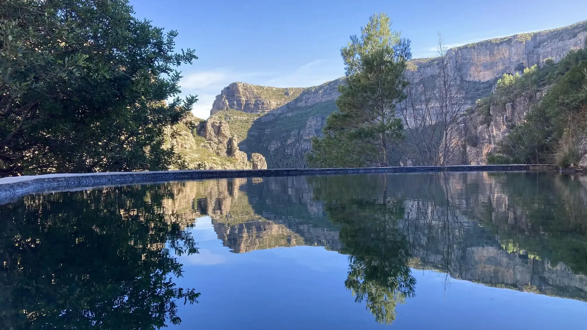
Enjoy refreshing water in the adjacent pool. Open during the summer months. There's an entrance fee. See also: Anna Lagoon Lake | Anna City Council https://www.ayuntamientoanna.es/albufera-anna.
0
1

From Enguera, it's 14.8 km at 3.3% with a maximum gradient of 9%, reaching the summit at 654 (754 according to the sign) meters above sea level after a 488-meter climb. It's a secondary road with little traffic in good condition. However, there's no shade. The last 12.4 km are marked with typical mountain pass signs in the CV.
0
0
From Enguera, it's 14.8 km at 3.3% with a maximum gradient of 9%, reaching the summit at 654 meters above sea level after a 488-meter climb. It's a secondary road with little traffic in good condition. There's no shade, however. The last 12.4 km are marked with typical mountain pass signs in the CV.
0
0

Beautiful facility. We stayed there on our long-distance hike from Tarifa to Switzerland and can highly recommend the accommodation and the excellent cuisine.
3
0
Relatively short port (3.2km at 5.75%) but very enjoyable. Good views.
0
0

Frequently Asked Questions
How many road cycling routes are available around Enguera?
There are over 60 road cycling routes around Enguera, offering a wide range of distances and elevation gains. These routes are highly rated by the komoot community, with an average score of 4.3 stars.
What kind of terrain and landscapes can I expect while road cycling in Enguera?
Road cycling in Enguera takes you through diverse and impressive natural landscapes. You'll encounter mountainous terrain, Mediterranean forests of pines and holm oaks, dramatic ravines, and rolling hills. Many routes offer spectacular panoramic views of the surrounding area, especially from higher elevations within the Sierra de Enguera.
Are there any notable viewpoints or natural attractions along the road cycling routes in Enguera?
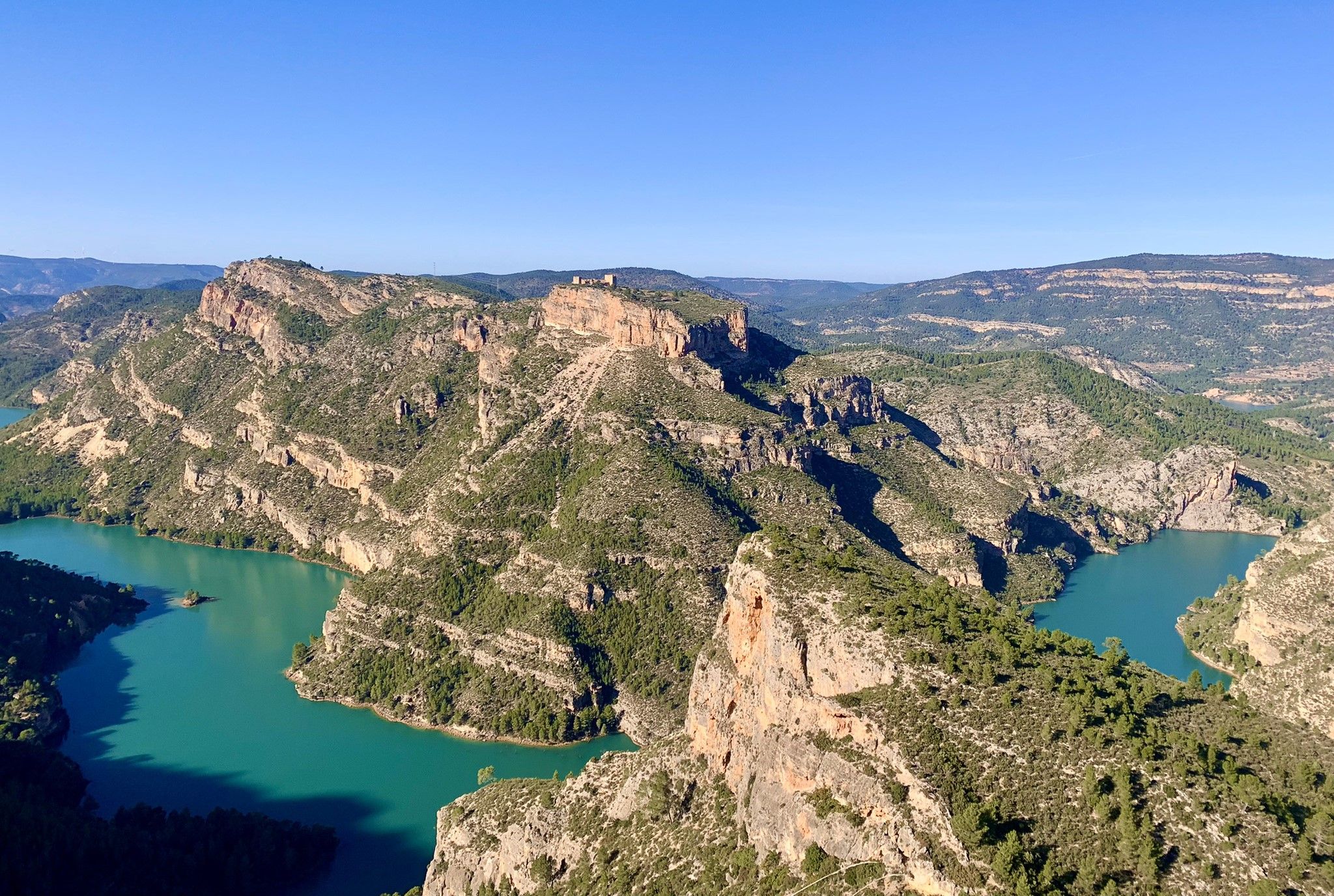
Yes, Enguera's routes often feature stunning viewpoints and pass by interesting natural landmarks. You might encounter dramatic ravines like Gorgo de la Escalera, which includes a natural pool and waterfall, or the Vikings' Waterfall. The region also boasts the Albufera de Anna lake, offering scenic backdrops for your ride.
What is the general difficulty level of road cycling routes in Enguera?
Enguera offers a diverse range of road cycling routes, from moderate to difficult. While there are some easier options, many routes feature significant elevation gain, catering to experienced riders. For example, the Albufera de Anna – Port de Bosquet loop from Fuente de las Arenas is a challenging 95.8 km route with over 1,500 meters of climbing.
Are there any long-distance road cycling routes for experienced riders?
Absolutely. Enguera is known for its substantial routes that challenge experienced cyclists. A notable option is the Montesa Castle loop from Montesa, which covers 112.7 km and includes over 1,000 meters of ascent, typically taking around 5 hours and 18 minutes to complete.
What is the best time of year for road cycling in Enguera?
September is a particularly popular month for cycling in Enguera, suggesting favorable conditions. The region's Mediterranean climate generally offers pleasant weather for cycling during spring and autumn, avoiding the peak heat of summer.
Are there any circular road cycling routes in the Enguera area?
Yes, many of the road cycling routes around Enguera are designed as loops, allowing you to start and finish in the same location. An example is the challenging Public washhouse and Sants River – Casas de Benalí loop from Montesa, a 76.8 km path with over 1,000 meters of climbing.
Can I find routes that pass through historical sites or castles?
Yes, some routes offer glimpses of historical sites. For instance, the Montesa Castle loop from Montesa passes by the historic Montesa Castle, allowing you to combine your ride with a touch of local history.
What kind of wildlife might I encounter while cycling in the Sierra de Enguera?
The Sierra de Enguera is rich in biodiversity. While cycling, you might spot various wildlife such as wild boars, foxes, eagles, and mountain goats, especially in the quieter, more natural sections of the routes.
Are there any moderate-difficulty routes suitable for a good day out?
For a moderate challenge, consider the Port de Bosquet – Port d'El Paller loop from Vallada. This 45 km route features around 750 meters of elevation gain and is a great option for a rewarding ride without the extreme demands of the most difficult trails.
What are the road conditions like on the cycling routes around Enguera?
The road cycling routes in Enguera often feature good pavement, providing a smooth and enjoyable riding experience. The roads are generally quiet, allowing cyclists to fully appreciate the scenic surroundings.
Most popular attractions around Enguera

Get inspired with the komoot mobile app


Explore more
Browse the best Road cycling routes in other regions.
