The best walks and hikes around Casariche
4.3
(29)
100
hikers
17
hikes
Hiking around Casariche offers diverse landscapes within the Sierra Sur region of Seville. The area is characterized by the River Yeguas plain, extensive olive groves, and rugged terrain. Notable features include Cerro de La Atalaya, an archaeological site with Roman remains, and Cerro Bellido, known for its ancient Roman quarries and panoramic viewpoints.
Best hiking trails around Casariche
- The most popular hiking route is Near the Genil River and Fuensanta Chapel — round trip from Badolatosa, a 4.5 miles…
Last updated: June 30, 2026
3.7
(3)
6
hikers
7.33km
02:01
120m
120m
Moderate hike. Good fitness required. Easily-accessible paths. Suitable for all skill levels.
3
hikers
9.85km
03:02
380m
380m
Moderate hike. Good fitness required. Easily-accessible paths. Suitable for all skill levels.

Sign up for free
1
hikers
16.2km
04:44
430m
440m
Moderate hike. Good fitness required. Easily-accessible paths. Suitable for all skill levels.
15.2km
04:00
130m
130m
Moderate hike. Good fitness required. Easily-accessible paths. Suitable for all skill levels.
3.8
(6)
18
hikers
8.95km
02:31
180m
180m
Moderate hike. Good fitness required. Easily-accessible paths. Suitable for all skill levels.
Get access to more routes and recommendations from other explorers.
Sign up for free
Already have an account?
Our route recommendations are based on thousands of hikes, rides, and runs completed by other people on komoot.
Start today with a free account
Your next adventure awaits.
Login or Signup
Tips from the Community

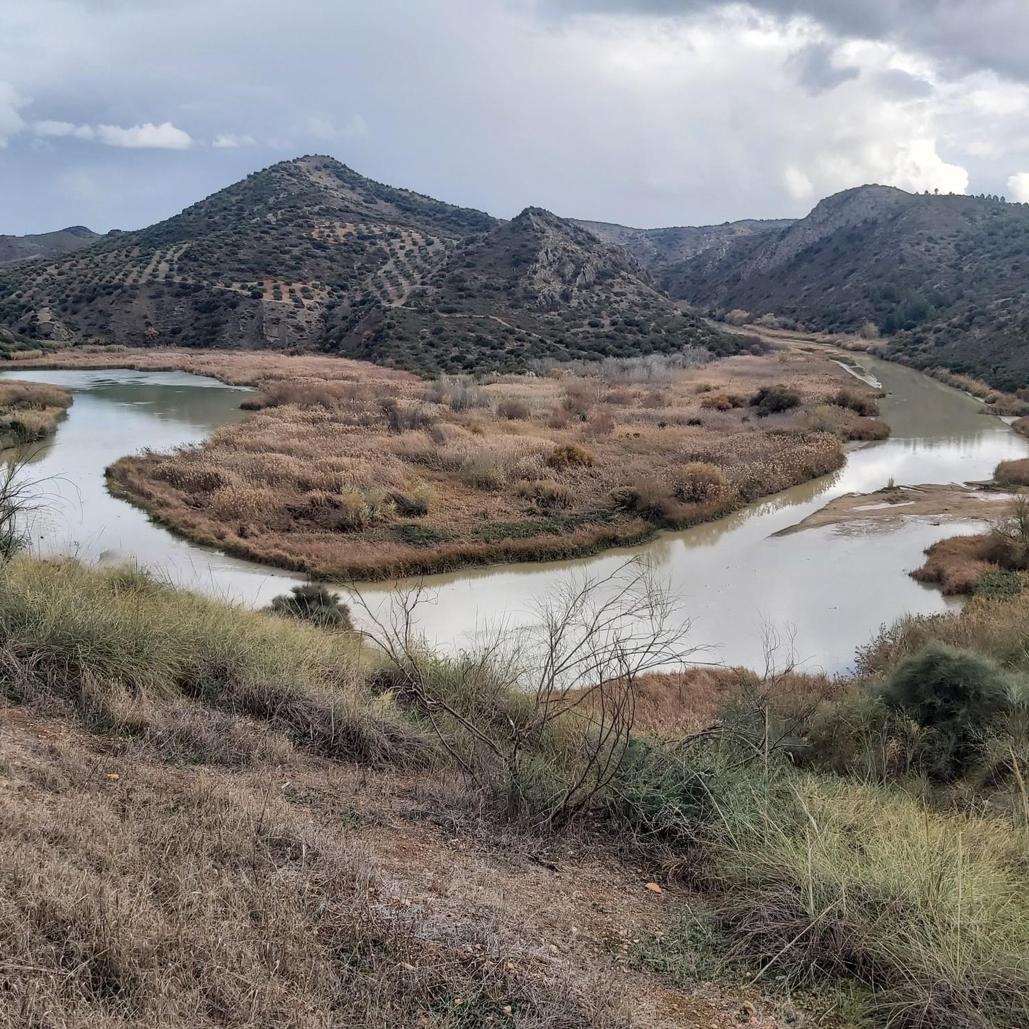
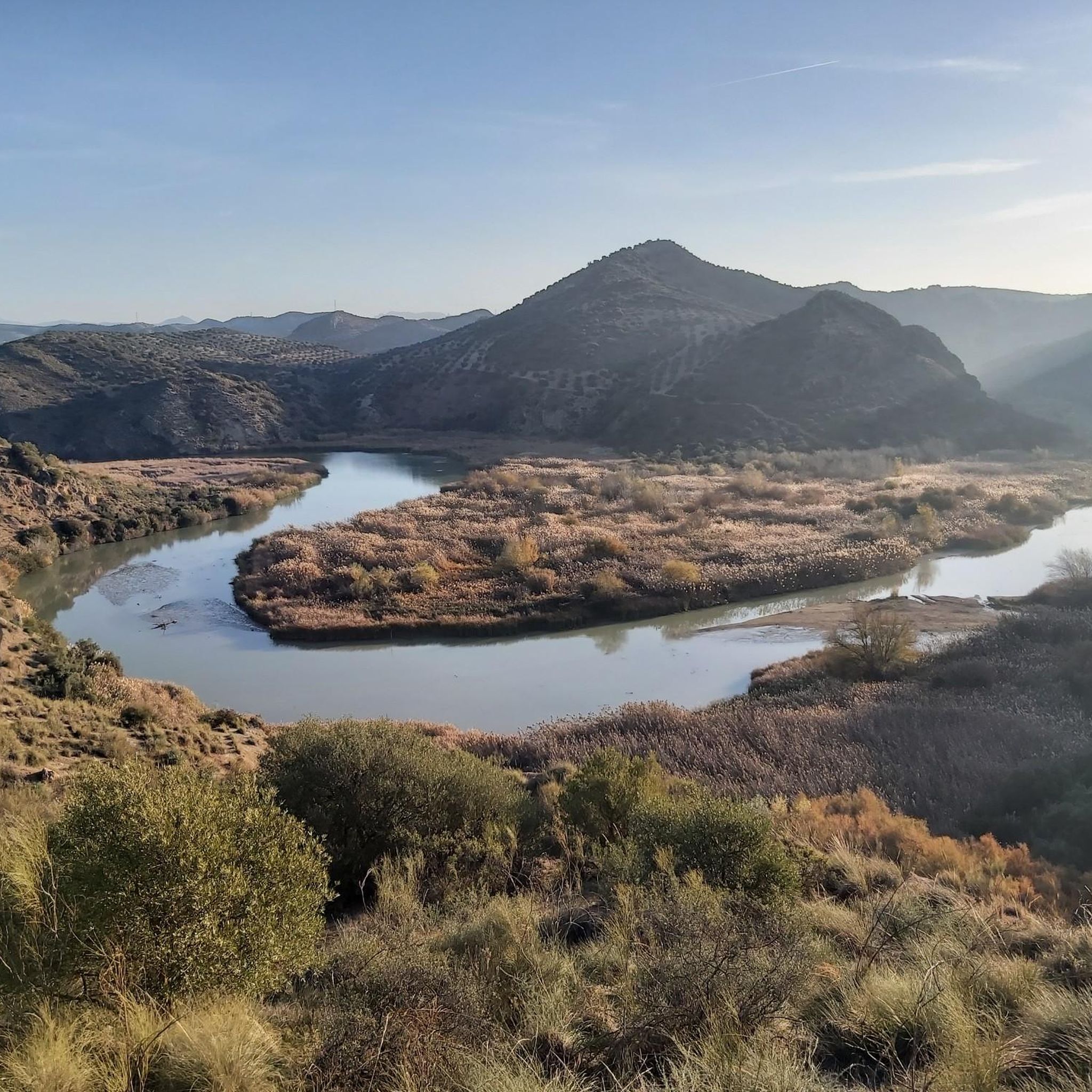
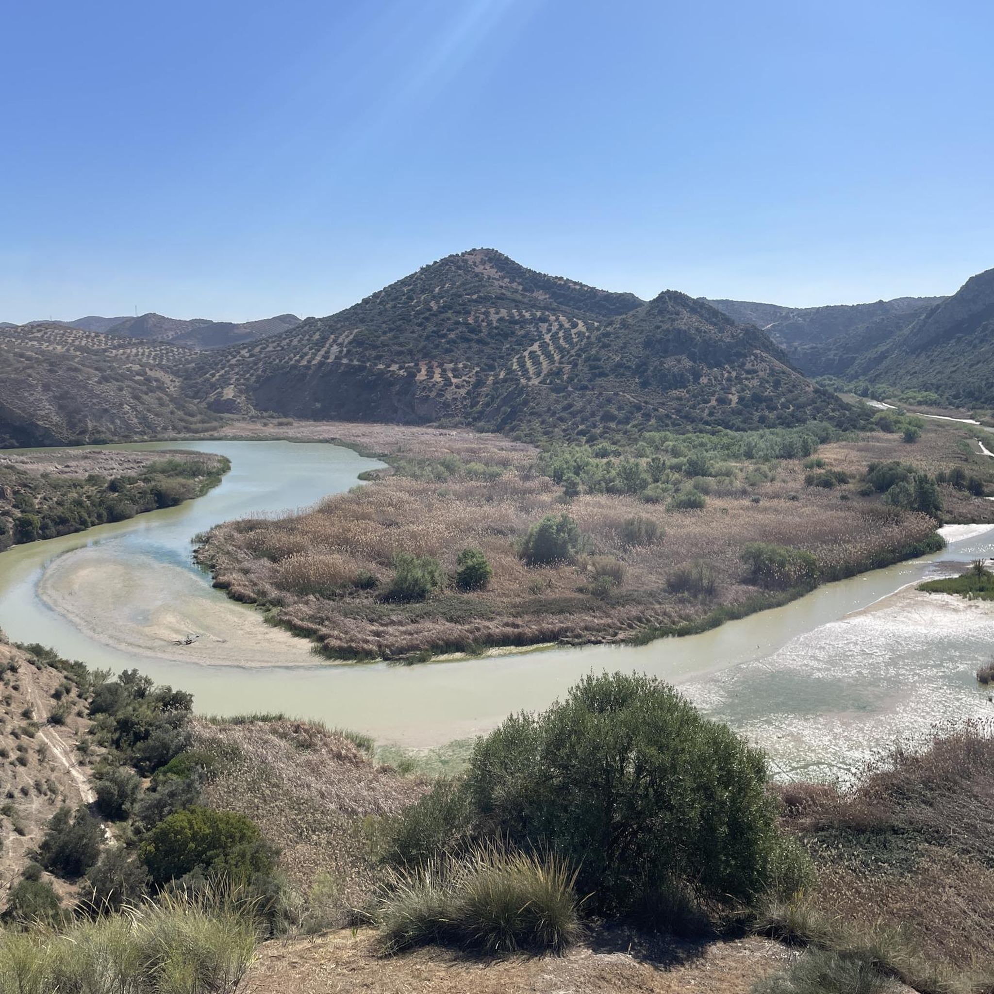
Beautiful valley through which the Río Genil runs and which offers a wide view of this area that is above the arrival of the reservoir.
0
0
Hermitage that still contains the style of a Mozarabic-style cave church in which the amplitude of its façade stands out, making it one of the few monuments of these characteristics in Andalusia.
0
0
Beautiful views of the Malpasillo Reservoir and you can also see the continuity of the Río Genil!
0
0

Outdoor adventure route, passing through the Hermitage of Nuestra Señora de la Fuensanta and the ruins of old mines.
1
0
View of the Malpasillo Dam on the Genil River on the outskirts of the town of Badolatosa. The slowing of the river creates a unique natural landscape and a habitat for wildlife. A great outdoor space for adventure.
1
0
Climb through the Estepa pine forest to reach this high point and the communication antennas peek out from among the trees. Great gravel trails around the forest and nearby quarries.
1
0

A beautiful pine forest, where you will feel peace enjoying nature.
0
0
From this point we can see the dam on the Genil river and the town of Badolatosa on our left. Going down the dirt road we will arrive at the famous meander of the Genil river (it is a 15-minute walk).
2
0
Frequently Asked Questions
How many hiking trails are available around Casariche, and what are their difficulty levels?
There are over 20 hiking trails around Casariche. The majority are suitable for most hikers, with 9 easy routes and 11 moderate routes. There are no difficult trails listed, making the area accessible for a wide range of abilities.
What kind of landscapes can I expect to see while hiking in Casariche?
Hiking around Casariche offers a diverse landscape characterized by the River Yeguas plain, extensive olive groves, and the rugged terrain of the Sierra Sur region. You'll also encounter significant hills like Cerro de La Atalaya and Cerro Bellido, which provide both natural beauty and historical interest.
Are there any circular hiking routes in the Casariche area?
Yes, there are several circular routes. For example, you can explore the Ribera del Rio de las Yeguas — circular desde Casariche, which is a 9.4-mile trail. Another option is the Gilena from Estepa — circular through the Sierra de Becerrero, offering a longer, moderate challenge.
What interesting historical sites or natural attractions can I find along the trails?
The area is rich in history and natural beauty. You can visit the ancient Roman quarries on Cerro Bellido or explore the archaeological site of Cerro de La Atalaya, which features Roman remains. Natural highlights include the Genil River Meander and the scenic Arroyo del Pontón. Don't miss the Hermitage of Our Lady of Fuensanta, often included in routes near the Genil River.
What do other hikers say about the trails in Casariche?
The trails in Casariche are highly regarded by the komoot community, with an average rating of 4.3 out of 5 stars from over 20 reviews. Hikers often praise the varied terrain, from river plains to olive groves and hills, and the opportunities to discover historical sites and natural features.
Are there any easy hikes suitable for beginners or families?
Yes, Casariche offers 9 easy routes that are great for beginners or families looking for a less strenuous walk. While specific family-friendly designations aren't always given, these easier trails generally have gentler gradients and shorter distances, making them more accessible.
Can I find trails that follow rivers or offer water views?
Absolutely. The region is defined by the River Yeguas plain and the Genil River. Routes like Near the Genil River and Fuensanta Chapel — round trip from Badolatosa and Arroyo del Pontón – Genil River Meander loop from Badolatosa offer beautiful views of the Genil River and its meanders.
What is the best time of year to go hiking in Casariche?
Given its location in Andalusia, the best times for hiking in Casariche are typically spring (March to May) and autumn (September to November). During these seasons, temperatures are milder and more comfortable for outdoor activities, and the landscape is often at its most vibrant. Summers can be very hot, and winters can be cooler and wetter.
Are there any trails that lead to viewpoints with panoramic vistas?
Yes, Cerro Bellido is known for its viewpoint atop the hill, offering panoramic vistas of the surrounding landscape. Additionally, some routes may offer views of the Malpasillo Dam and Genil River, providing expansive scenic outlooks.
Are there any longer, more challenging hikes for experienced trekkers?
While there are no trails classified as 'difficult,' experienced trekkers can enjoy longer moderate routes. The Gilena from Estepa — circular through the Sierra de Becerrero, at over 10 miles, offers a good distance and elevation gain for a more extended outing. The Ribera del Rio de las Yeguas — circular desde Casariche is also a substantial moderate trail.
What kind of terrain should I expect on the trails?
The terrain around Casariche is varied. You'll find relatively flat paths along the River Yeguas plain and through olive groves, as well as more undulating and rugged sections as you ascend hills like Cerro de La Atalaya and Cerro Bellido. Trails can range from dirt tracks to rocky paths, typical of the Sierra Sur region.
Most popular routes around Casariche
Most popular attractions around Casariche

Get inspired with the komoot mobile app


Explore more
Browse the best Hikes in other regions.
