The best walks and hikes around Herradón De Pinares
4.6
(5)
41
hikers
11
hikes
Hiking around Herradón De Pinares offers routes through varied terrain, characterized by pine forests and open landscapes. The region features gentle hills and includes trails around water bodies like reservoirs. Historical elements, such as dolmens, are also present along some paths.
Best hiking trails around Herradón De Pinares
- The most popular hiking route is Navalperal de Pinares Reservoir Trail, a 4.4 miles (7.1 km) trail that takes 1 hour 54 minutes to complete. This easy route follows the perimeter…
Last updated: July 7, 2026
4.5
(2)
6
hikers
7.06km
01:54
90m
90m
Easy hike. Great for any fitness level. Easily-accessible paths. Suitable for all skill levels.
21.0km
06:40
690m
700m
Hard hike. Very good fitness required. Mostly accessible paths. Sure-footedness required.

Sign up for free
2.89km
00:46
30m
30m
Easy hike. Great for any fitness level. Easily-accessible paths. Suitable for all skill levels.
Moderate hike. Good fitness required. Easily-accessible paths. Suitable for all skill levels.
6.50km
01:51
150m
150m
Moderate hike. Great for any fitness level. Mostly accessible paths. Sure-footedness required.
Get access to more routes and recommendations from other explorers.
Sign up for free
Already have an account?
Our route recommendations are based on thousands of hikes, rides, and runs completed by other people on komoot.
Start today with a free account
Your next adventure awaits.
Login or Signup

Tips from the Community

The Church of San Miguel Arcángel in Tornadizos de Ávila is a church of great historical and cultural significance. Built of ashlar and masonry, it is liturgical in nature. The Brotherhood of the Holy True Cross, an institution of great importance in local religious life, was founded in this parish more than four centuries ago.
1
0
The Casasola Route in Navalperal de Pinares is one of the longest and most popular hiking trails in the area. With a length of approximately 23 kilometers and a cumulative ascent of 346 meters, this route offers a complete experience for hiking enthusiasts. The route begins at the Hermitage of San Antonio and passes through diverse landscapes, including oak forests, reforested pine forests, and mountain meadows.
1
0
The Navalperal de Pinares Reservoir is a beautiful place located in the province of Ávila, ideal for enjoying nature and outdoor activities. Built in 1980, this reservoir is located on the Maillo Stream. It is a perfect destination for relaxation and recreation, offering activities such as fishing, picnicking, and hiking. Furthermore, the surrounding natural environment offers peaceful and enchanting landscapes, ideal for unwinding and enjoying the serenity of the place.
1
0

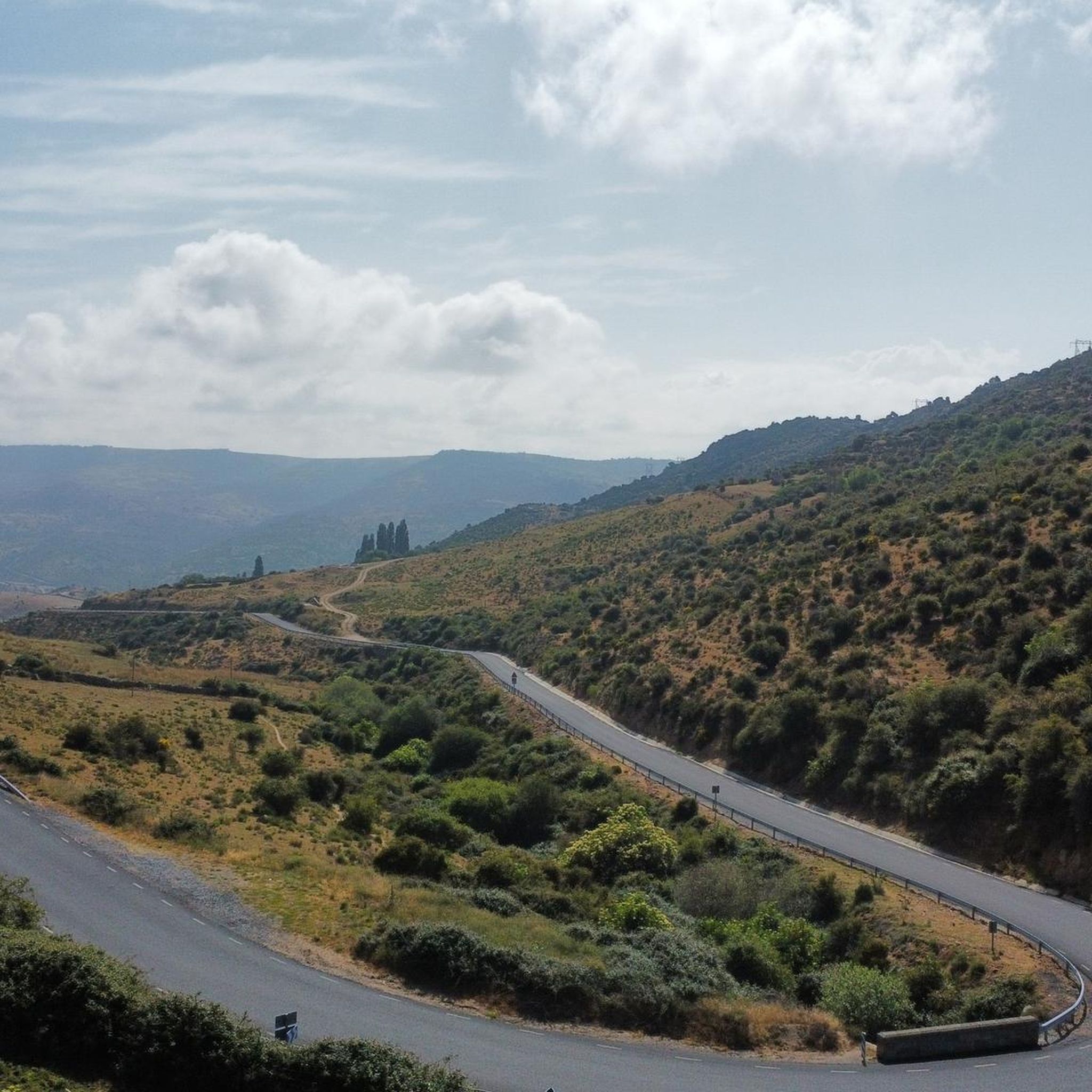
Stage 2. Ávila/Madrid 140 km. 2,500 m positive. On the way back to Madrid we followed the route of the Camino de Santiago de Levante to the Alberche River with some variations to maintain cyclability and an acceptable average. The yellow arrows on the Jacobean route point towards Santiago de Compostela and at some intersections it is not easy to see them in the opposite direction. The track is essential to follow these “author” routes. The route leaves Ávila along the plain of the Chico River to Tornadizos de Ávila and continues along the cattle trails from the sources of the Tornadizos River to some spectacular pastoral meadows in the hills of El Cabezuelo. The final stretch of the climb follows a path that has good cyclability with good grinding technique and expertise on mountain trails. The path passes a gate with yellow arrows and goes down to the port of Boquerón, between the Cuerda de los Polvisos and the Malagón mountain range, one of the entrances to the great Herradón de Pinares grave. The descent along the Camino de Santiago is an uncomfortable and complicated trial with the bags due to the pavement and the vegetation and to maintain the pace we go down the road gliding over a deceptive landscape, we pass through El Herradón and continue to San Bartolomé de Pinares. The climb through the cobblestone streets of the town is tough and the exit through the forks of the Camino de Levante ends with an infernal wall, until the slope ends on a hill adorned with a milestone of the Jacobean route that has indications of the distances to different places. in the world, from Ávila and Madrid to Beijing or New Zealand.
0
0
This dolmen has an ancient history, being used as a burial place from the end of the Neolithic to the beginning of the Bronze Age, covering the last centuries of the fourth millennium BC. until the first third of the second millennium BC. Its presence evokes mystery and connects us with the ancient cultures that built it.
2
0

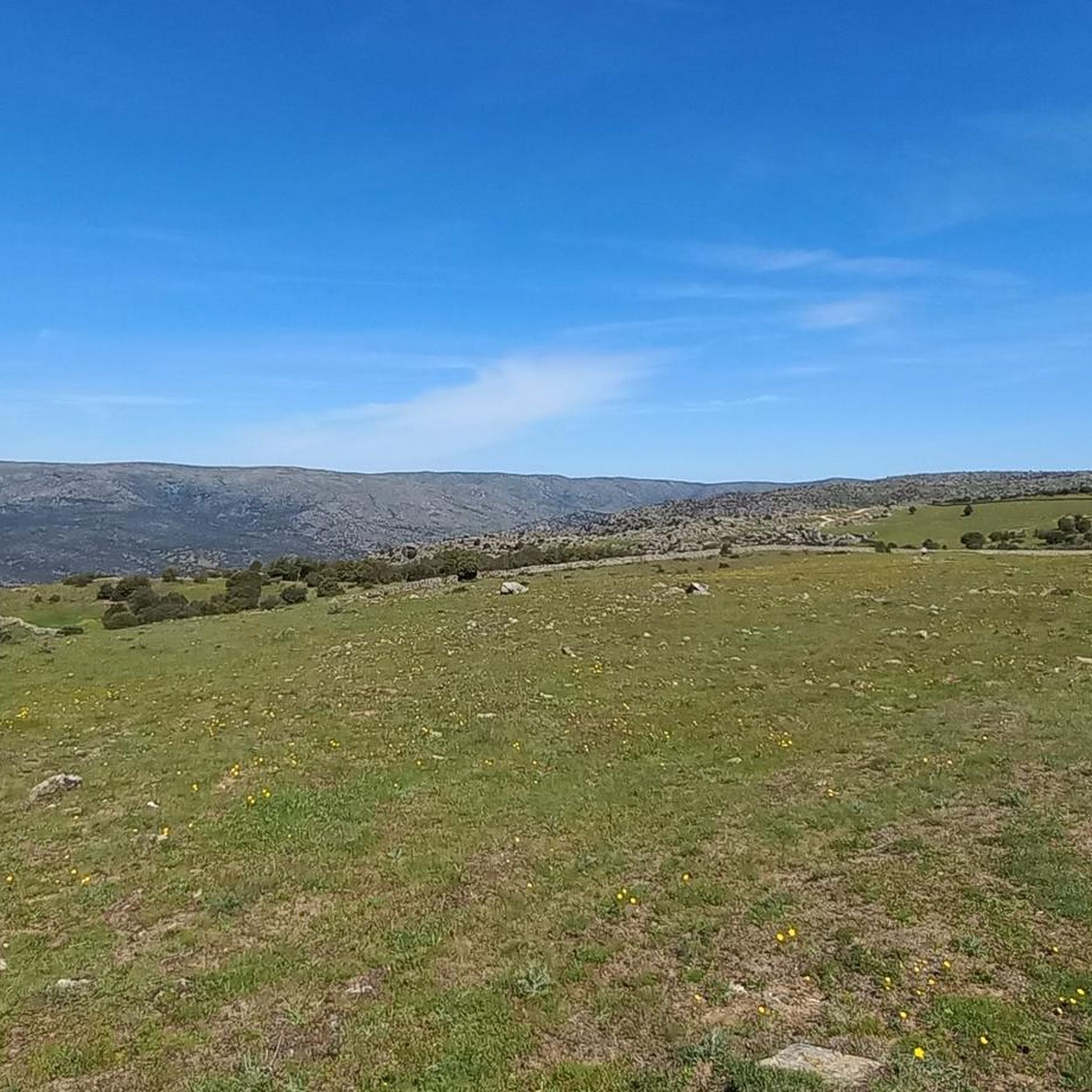
Beautiful climb to Cerro de la Cabeza reaching the summit at 1335 meters above sea level, you will enjoy a panoramic view of the surrounding landscape and the valleys below.
1
0
Tornadizos de Ávila is a small town on the eastern outskirts of Ávila. The town is located on the pilgrimage route from Madrid and Santiago de Compostela, carried out by many every day for centuries.
1
0
Dusty path along the dry bed of the Tornadizos stream on the pilgrim from Madrid to Santiago de Compostela, when approaching Tornadizos de Ávila.
1
0
Frequently Asked Questions
How many hiking trails are available in Herradón De Pinares?
There are 11 hiking trails documented in Herradón De Pinares, offering a variety of experiences for different skill levels. You'll find 6 easy routes, 3 moderate, and 2 difficult ones.
Are there any family-friendly hiking routes in Herradón De Pinares?
Yes, Herradón De Pinares offers several easy routes suitable for families. A great option is the Dolmen del Prado de las Cruces Trail, which is only 2.9 km long and takes about 46 minutes to complete, leading through historical sites.
What are the best circular walks around Herradón De Pinares?
Herradón De Pinares features several excellent circular routes. For a challenging experience, consider the Cuerda de los Polvisos — circular desde San Bartolomé de Pinares, a difficult 21 km path. A moderate option is the Bernuy-Salinero from Urraca Miguel — circular by the Camino Natural de Campo Azálvaro, spanning 14.6 km.
Are there any short loop trails for a quick walk?
Absolutely. The Dolmen del Prado de las Cruces Trail is a short, easy loop of 2.9 km, perfect for a quick walk. Another easy option is the Navalperal de Pinares Reservoir Trail, which is 7.1 km and takes under two hours.
What kind of views can I expect on hikes in Herradón De Pinares?
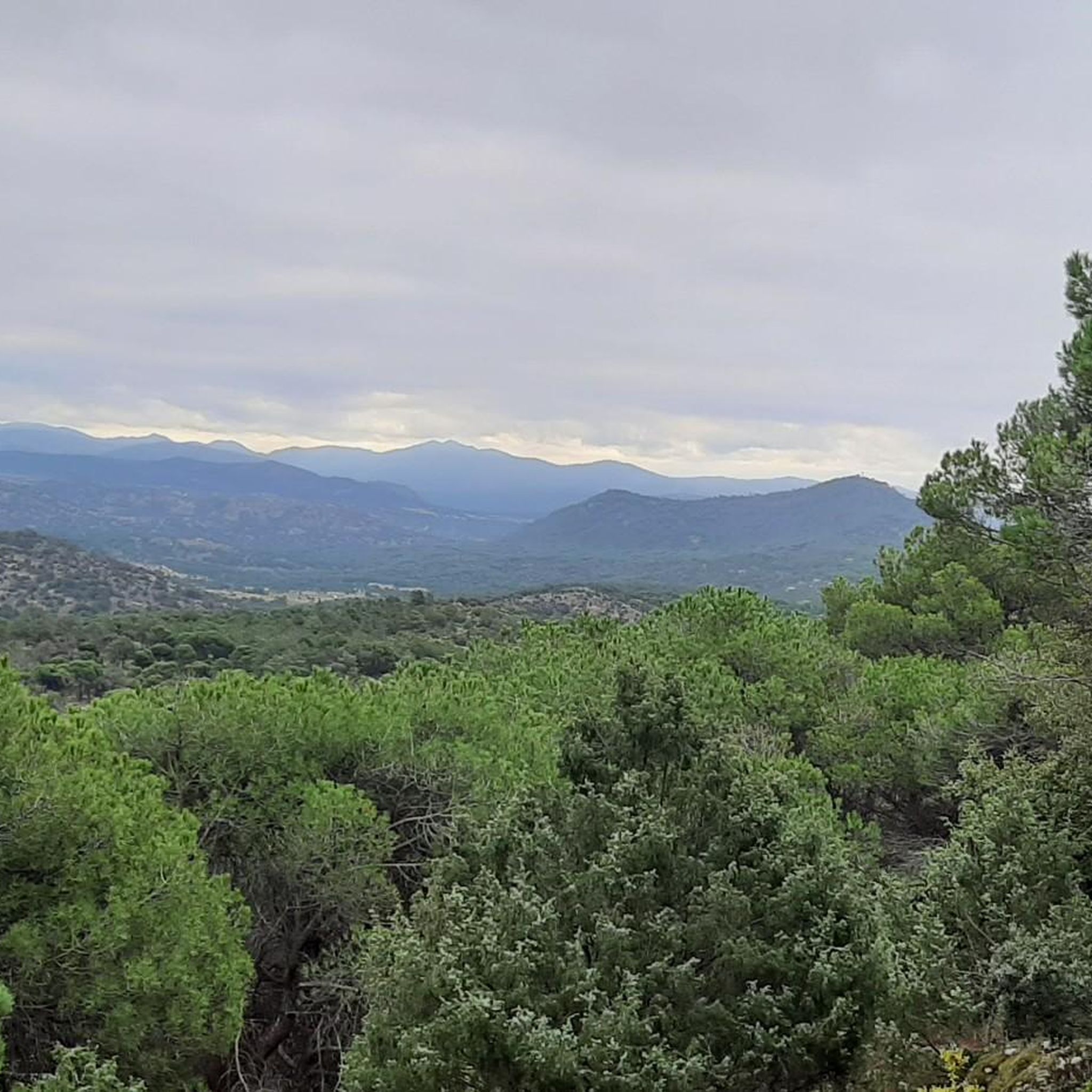
Hikes in Herradón De Pinares offer diverse scenery, including pine forests, open landscapes, and views of water bodies like the Navalperal de Pinares Reservoir. You can also find panoramic vistas from spots like the Mirador del Canchal or the summit of Cerro de la Cabeza.
Are there any historical sites or landmarks to see along the trails?
Yes, the region is home to historical elements. The Dolmen del Prado de las Cruces Trail specifically leads to the ancient Dolmen del Prado de Las Cruces, offering a glimpse into the area's past.
What do other hikers enjoy most about hiking in Herradón De Pinares?
The trails in Herradón De Pinares are highly rated by the komoot community, with an average score of 4.6 stars from 5 reviews. Hikers often praise the varied terrain, from pine forests to reservoir views, and the options available for all ability levels.
Is Herradón De Pinares suitable for beginner hikers?
Yes, Herradón De Pinares has several easy routes perfect for beginners. The Navalperal de Pinares Reservoir Trail is an excellent choice, being an easy 7.1 km path that follows the perimeter of the reservoir.
What is the best time of year for hiking in Herradón De Pinares?
The region's varied terrain, including pine forests and open landscapes, makes it enjoyable across multiple seasons. Spring and autumn generally offer pleasant temperatures and vibrant scenery. Summer can be warm, so early morning or late afternoon hikes are recommended, while winter can provide a different, quieter experience, especially in the pine forests.
Are there any trails with significant elevation gain for a more challenging hike?
For those seeking a challenge, the Cuerda de los Polvisos — circular desde San Bartolomé de Pinares is a difficult 21 km route with significant elevation gain, offering a strenuous workout and rewarding views.
Are there any cafes or places to eat near the hiking trails?
While specific cafes directly on the trails are not listed, the nearby settlements like Herradón De Pinares itself or San Bartolomé de Pinares would be the best places to find local establishments for refreshments after your hike.
What should I wear for hiking in Herradón De Pinares?
Given the varied terrain and potential for different weather conditions, it's advisable to wear comfortable, layered clothing suitable for hiking. Sturdy hiking boots are recommended, especially for routes with uneven paths or elevation changes. Always check the local weather forecast before heading out.
Most popular attractions around Herradón De Pinares

Get inspired with the komoot mobile app


Explore more
Browse the best Hikes in other regions.
