The best cycling routes around Calles
4.1
(7)
300
riders
44
rides
Touring cycling around Calles, Valencia, offers routes through a landscape characterized by significant elevation changes and natural features. The region features mountain passes, reservoirs, and river valleys, providing varied terrain for cyclists. Routes often include climbs to viewpoints and descents through rural areas, showcasing the natural beauty of La Serranía. This area is well-suited for cyclists seeking challenging routes with notable landmarks.
Best touring cycling routes around Calles
- The most popular touring cycling route is Peñas de Dios Pass loop…
Last updated: June 28, 2026
16
riders
45.7km
04:10
810m
810m
Hard bike ride. Very good fitness required. Mostly paved surfaces. Suitable for all skill levels.
15
riders
33.4km
03:30
1,000m
1,000m
Hard bike ride. Very good fitness required. Mostly paved surfaces. Suitable for all skill levels.

Sign up for free
13
riders
65.3km
04:37
1,270m
1,270m
Hard bike ride. Very good fitness required. Mostly paved surfaces. Suitable for all skill levels.
11
riders
41.2km
04:18
1,250m
1,250m
Hard bike ride. Very good fitness required. Mostly paved surfaces. Suitable for all skill levels.
15
riders
39.4km
03:51
1,120m
1,120m
Hard bike ride. Very good fitness required. Mostly paved surfaces. Suitable for all skill levels.
Get access to more routes and recommendations from other explorers.
Sign up for free
Already have an account?
Our route recommendations are based on thousands of hikes, rides, and runs completed by other people on komoot.
Start today with a free account
Your next adventure awaits.
Login or Signup
Tips from the Community

The Los Arcos aqueduct, located in Alpuente, is a 16th and 17th-century hydraulic structure that supplied water to the town and its orchards. With its thirteen pointed arches and a length of 265 meters, the arcade bridged the uneven level of the Reguero River, although the main arch was lost in a flood in 1880. Today, it is preserved as a Site of Cultural Interest and can be easily visited from the road to La Yesa. It is an interesting spot for combining history and hiking; good footwear is recommended to explore the surroundings.
2
0
Titaguas is a small town in the Los Serranos region, surrounded by mountains covered with pine, holm oak, and juniper forests, making it an ideal location for hiking. In the surrounding area, you can discover natural springs renowned for their healthy waters, as well as archaeological sites and cave paintings dating back over 9,000 years. The old town preserves historic houses and the Renaissance church of El Salvador, while local festivals keep traditions alive with the famous Mojiganga and wine-related celebrations. It's a great destination for combining nature, heritage, and popular culture, with trails accessible from the CV-35.
1
0

cave paintings with good access
0
0
A very well-preserved snowfield, from where we have good views of the cliffs and with luck we will see some vultures.
0
0

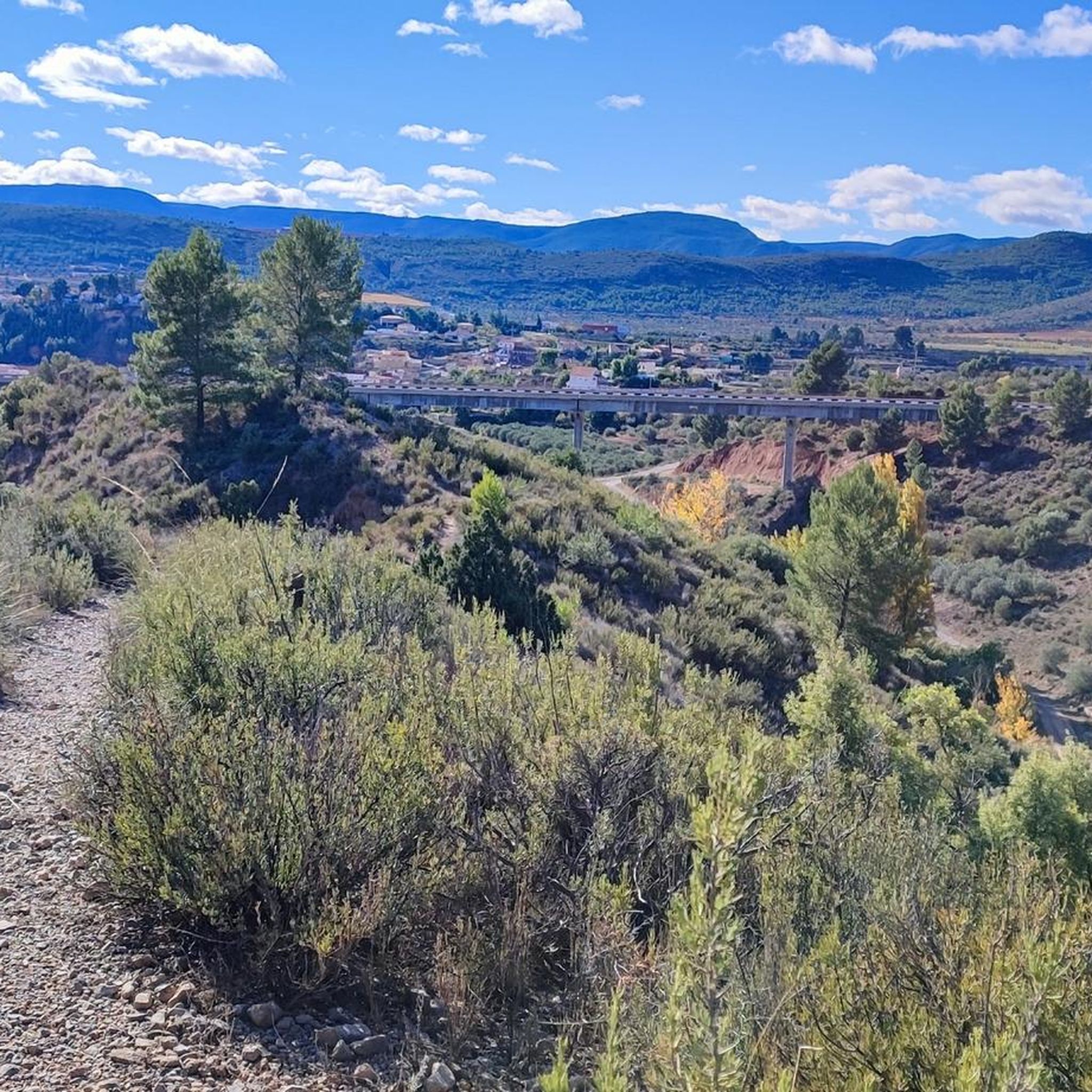
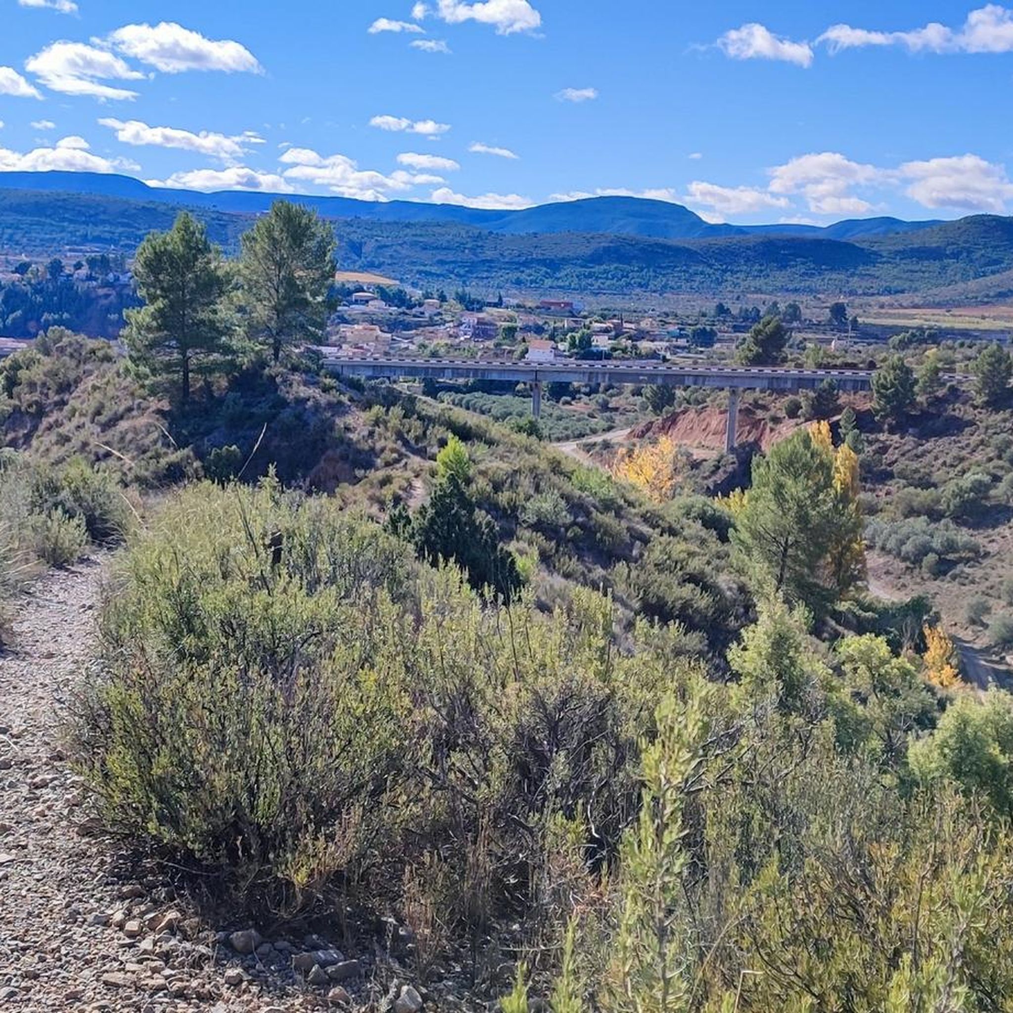
A short climb to get there, but what a reward when you arrive at this magnificent viewpoint. The Water Route (Ruta del Agua) video is here: https://youtu.be/YgxESnd14Ww
0
1
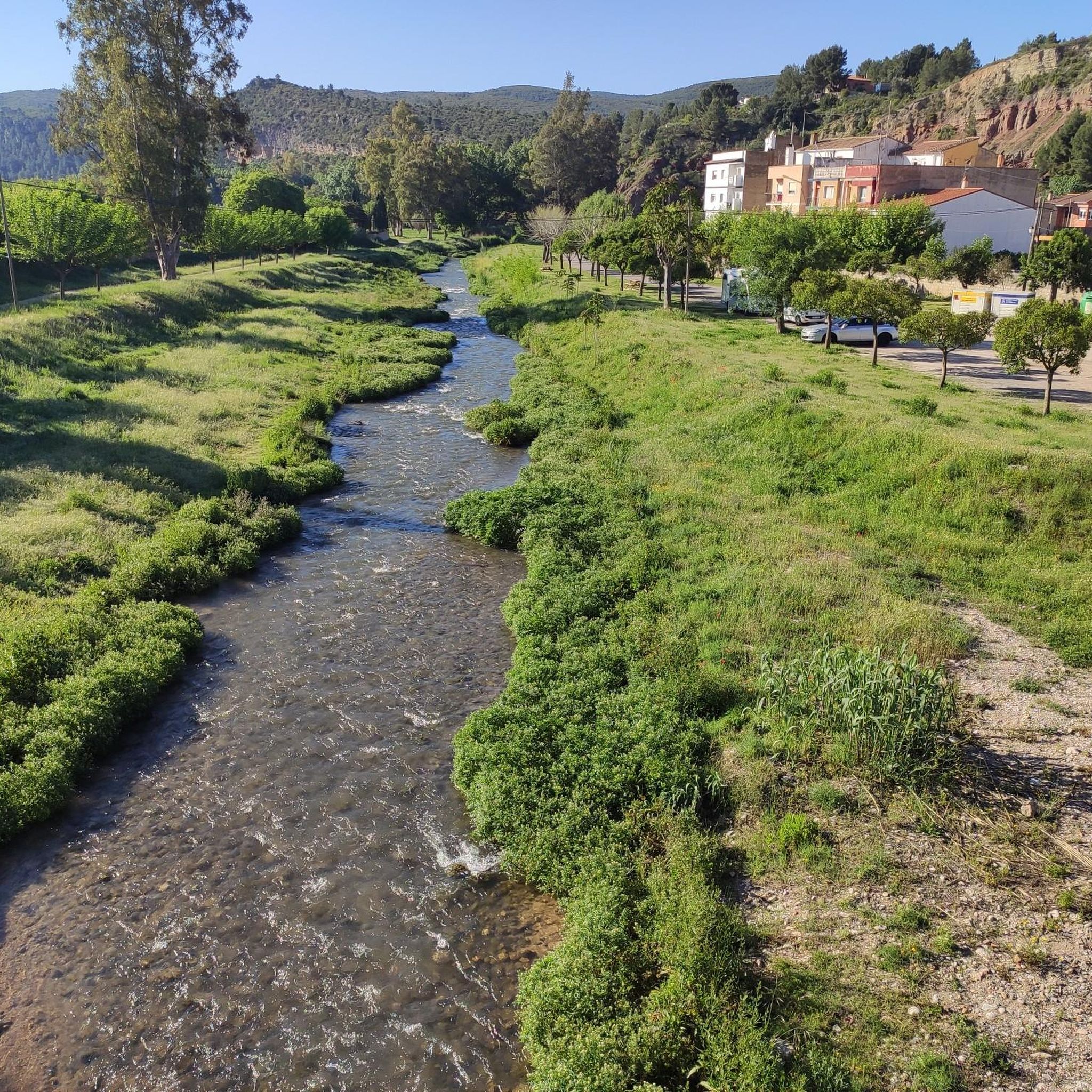
The water route is beautiful and can be done with the family. Some parts of the trail and the riverside are still badly damaged by the Dana of October 2024, but it remains passable and beautiful. The video is here: https://youtu.be/YgxESnd14Ww
1
1


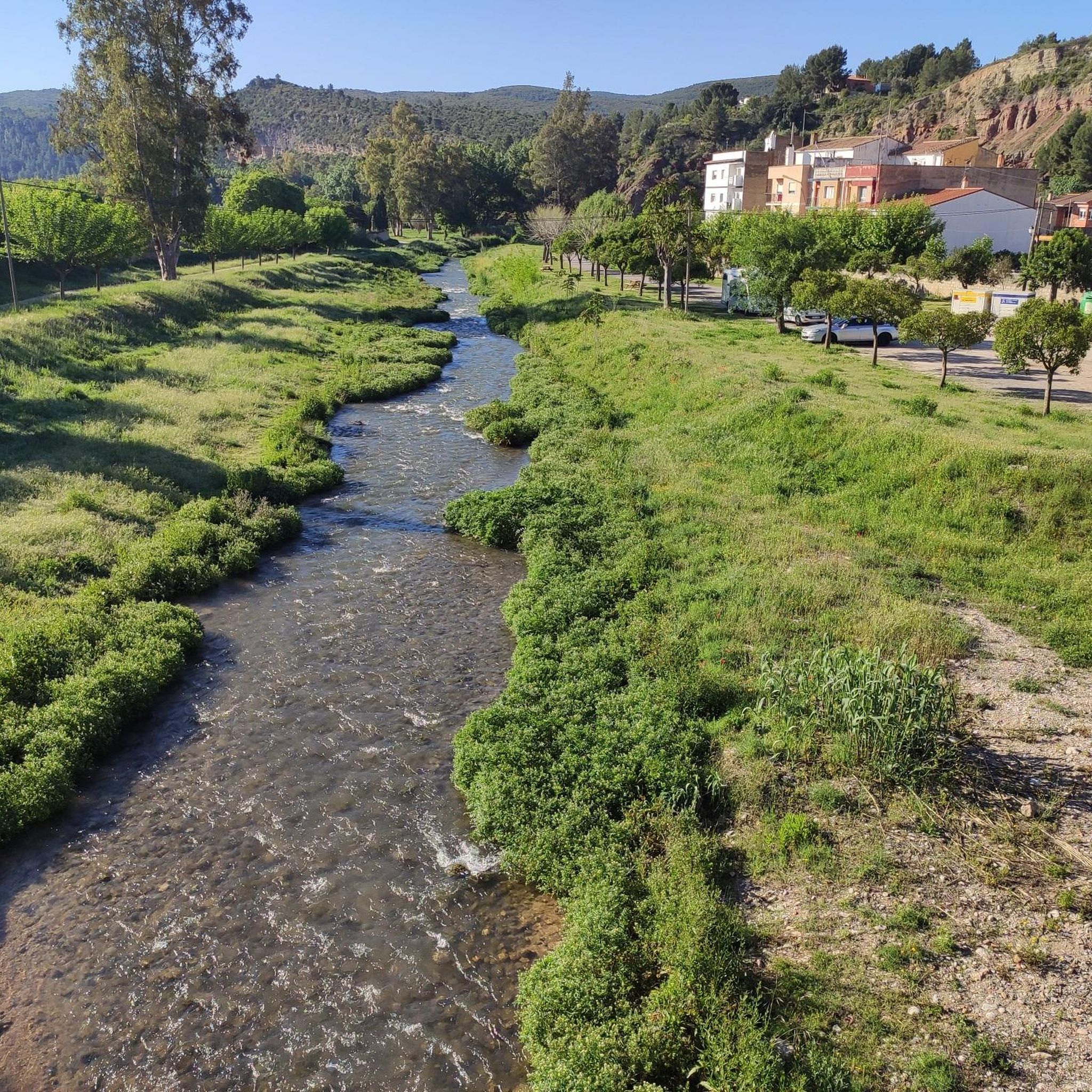
From here you have beautiful views of the Benagéber reservoir and its dam, which retains the waters of the Turia. It has become an environment frequented in summer by those who seek to cool off in its waters surrounded by nature.
1
0
Frequently Asked Questions
How many touring cycling routes are available around Calles?
There are over 40 touring cycling routes around Calles, offering a variety of experiences for cyclists. The region is known for its challenging terrain, with 35 routes rated as difficult and 9 as moderate.
What is the general difficulty level of touring cycling routes in Calles?
Touring cycling around Calles is characterized by significant elevation changes, making many routes challenging. Out of 44 available routes, 35 are rated as difficult, and 9 are moderate. There are no easy routes listed, indicating a focus on more demanding rides.
Are there any circular touring cycling routes in Calles?
Yes, many routes around Calles are designed as loops, allowing you to start and finish in the same location. Examples include the Peñas de Dios Pass loop from Higueruelas, the Tuéjar Ice House – Azud de Tuéjar loop from Chelva, and the Azud de Tuéjar – Ascent to Puerto del Remedio loop from Calles.
What natural features or landmarks can I see while cycling around Calles?
The routes often feature natural highlights such as the Azud de Tuéjar, the La Playeta de Chelva, and the Charco Azul of Chulilla. You can also enjoy views of the Benagéber Reservoir on routes like the Views of the Benagéber Reservoir – Benagéber Reservoir loop from Calles.
Are there any historical or cultural points of interest along the cycling routes?
Yes, you can encounter historical sites such as the Peña Cortada Aqueduct and the Turia River Suspension Bridge. The Tuéjar Ice House – Azud de Tuéjar loop from Chelva specifically explores historical ice houses.
Are there routes that feature reservoirs or river valleys?
Yes, the Calles region is known for its reservoirs and river valleys. Routes like the Views of the Benagéber Reservoir – Benagéber Reservoir loop from Calles offer scenic views of the Benagéber Reservoir. The Azud de Tuéjar is another prominent water feature explored by several routes.
What do other touring cyclists enjoy the most about touring cycling in Calles?
The area is highly rated by the komoot community, with an average score of 4.3 stars from over 6 reviews. Cyclists often praise the varied terrain, including mountain passes and river valleys, and the challenging nature of the routes. Over 300 touring cyclists have used komoot to explore the region.
Are there any routes with significant climbs or mountain passes?
Absolutely. The terrain around Calles is characterized by mountain passes and significant elevation changes. The Peñas de Dios Pass loop from Higueruelas is known for its challenging pass, and the Azud de Tuéjar – Ascent to Puerto del Remedio loop from Calles includes a notable climb to Puerto del Remedio.
What is the best time of year for touring cycling in Calles?
While specific seasonal data isn't provided, the region's characteristics of mountain passes and river valleys suggest that spring and autumn would offer the most pleasant temperatures for challenging rides, avoiding the extreme heat of summer or potential colder conditions in winter at higher elevations.
Is parking available for cyclists in Calles?
While specific parking facilities for cyclists are not detailed for every route, Calles, as a small town, generally offers public parking options. For routes starting from specific villages like Higueruelas or Chelva, local parking would typically be available near the starting points.
Are there options for longer distance touring cycling routes around Calles?
Yes, Calles offers routes suitable for longer distances. For example, the Azud de Tuéjar – Ascent to Puerto del Remedio loop from Calles is 40.6 miles (65.3 km) long, providing a substantial ride for touring cyclists seeking extended journeys.
Most popular attractions around Calles

Get inspired with the komoot mobile app


Explore more
Browse the best Cycling routes in other regions.
