The best walks and hikes around Zizurkil
4.5
(1924)
14,285
hikers
334
hikes
Hiking around Zizurkil offers varied natural landscapes, from streams and mountains to green forests and diverse flora. The region is characterized by its hilly terrain and panoramic views, providing a range of experiences for outdoor enthusiasts. These popular hiking trails in Zizurkil often traverse rural heritage sites and cultural landmarks.
Best hiking trails around Zizurkil
- The most popular hiking route is Belkoain mendia loop from Aduna, a 4.3 miles (6.9 km) trail that takes about 2 hours 16 minutes…
Last updated: July 9, 2026
5.0
(1)
17
hikers
7.33km
02:22
320m
320m
Moderate hike. Good fitness required. Easily-accessible paths. Suitable for all skill levels.
18
hikers
16.6km
05:07
520m
520m
Hard hike. Very good fitness required. Mostly accessible paths. Sure-footedness required.

Sign up for free
15
hikers
15.4km
04:37
480m
480m
Moderate hike. Good fitness required. Mostly accessible paths. Sure-footedness required.
5.0
(1)
4
hikers
16.5km
05:59
810m
810m
Hard hike. Very good fitness required. Mostly accessible paths. Sure-footedness required.
3.3
(3)
14
hikers
9.62km
03:28
580m
580m
Moderate hike. Good fitness required. Mostly accessible paths. Sure-footedness required.
Get access to more routes and recommendations from other explorers.
Sign up for free
Already have an account?
Our route recommendations are based on thousands of hikes, rides, and runs completed by other people on komoot.
Start today with a free account
Your next adventure awaits.
Login or Signup
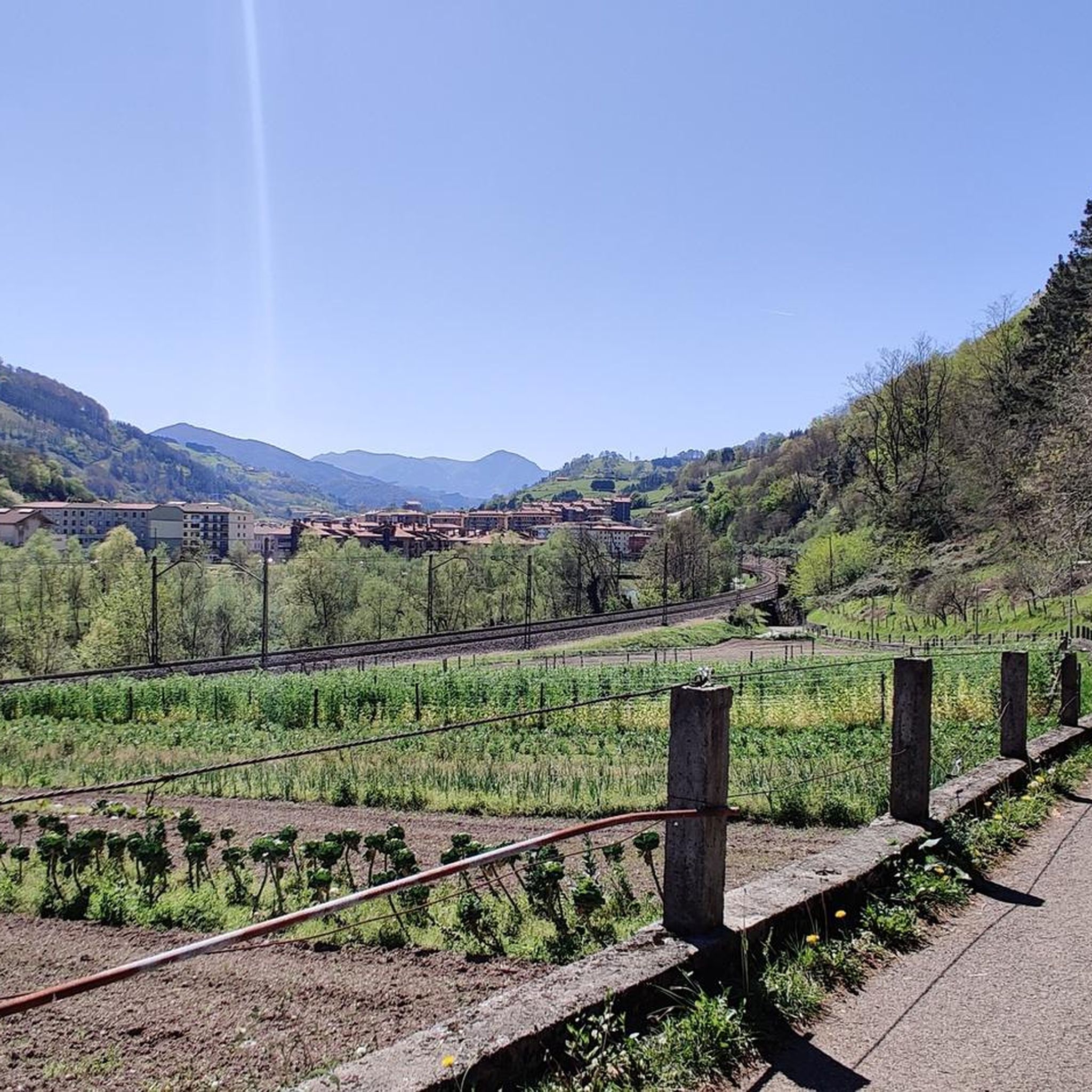
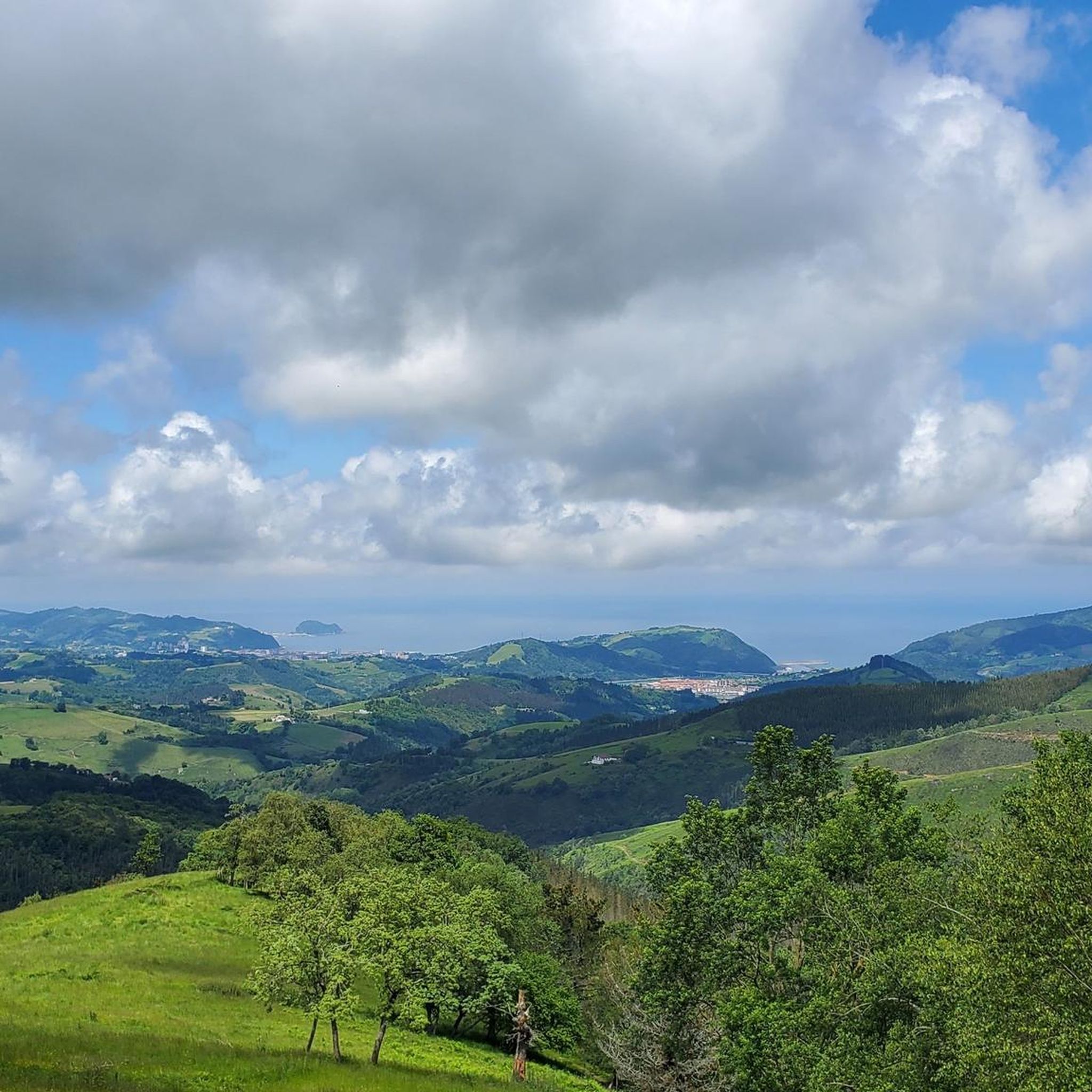
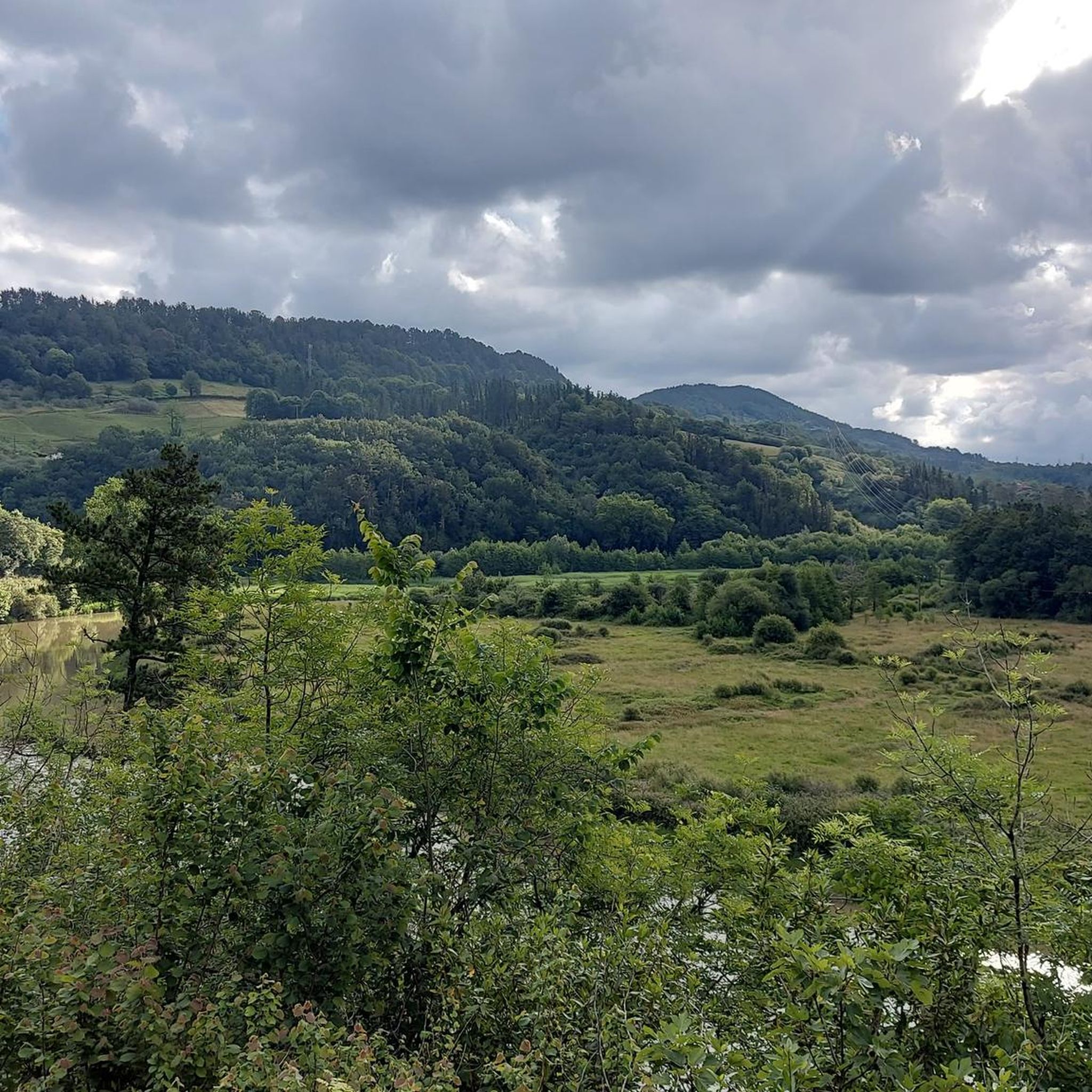

Tips from the Community

Very close to Belabieta. A pleasure to walk around this area.
3
0
Scene of a famous battle, in the middle of a large field and surrounded by a herd of horses.
4
0
It is a modest peak, but it is difficult to reach from the Izaskun neighbourhood. You have to be a little careful not to slip in the last few metres of the north face.
4
0
One of the most visited places by the inhabitants of Tolosa and its surroundings.
4
0
I did not get to the exact point where the mountain is located, because it was an impenetrable undergrowth. I don't think it's worth it.
2
0
Remains of three dolmens in the vicinity of Oindolar.
2
0
After the 1,000 stairs, what remains of the ascent is a minute pecata. Very good views, despite the fact that the highway is quite visible.
3
0

This is a special and magical forest. It is thick and green and feels very different from the surrounding peaks. It can be a bit messy when wet and even a bit difficult, but that's part of the fun.
0
0
Frequently Asked Questions
How many hiking trails are available in Zizurkil?
Zizurkil offers a wide selection of hiking experiences, with over 340 trails documented on komoot. These routes cater to various preferences, ranging from easy strolls to challenging mountain ascents.
What are the typical difficulty levels for hiking trails in Zizurkil?
The trails around Zizurkil offer a good mix of difficulties. You'll find approximately 88 easy routes, 199 moderate trails, and 57 difficult paths, ensuring options for all fitness levels and experience.
Are there any circular hiking routes in Zizurkil?
Yes, many of the trails in Zizurkil are circular, allowing you to start and end at the same point. For example, the Belkoain mendia loop from Aduna is a popular moderate circular route. The region research also highlights the PR-Gi 117, which is a notable circular trail.
What kind of natural features can I expect to see on hikes around Zizurkil?
Hiking in Zizurkil will immerse you in varied natural landscapes, including picturesque streams, rolling mountains, and lush green forests. The region is known for its diverse flora and fauna, offering panoramic views and a rich natural environment.
Are there historical or cultural landmarks to explore while hiking in Zizurkil?
Absolutely. Many trails in Zizurkil pass by significant historical and cultural sites. You might encounter prehistoric dolmens, such as the one on the Dolmens – Oindolar loop from Villabona-Zizurkil, or charming hermitages like San Miguel, as mentioned in the region's PR-Gi 117 trail description. The area also features sites like the Tontortxiki Prehistoric Tombs and Rest Area.
Are Zizurkil's hiking trails suitable for families with children?
Yes, Zizurkil offers several family-friendly hiking options. With 88 easy routes available, you can find paths that are less strenuous and suitable for younger hikers, allowing families to enjoy the natural beauty together.
Can I bring my dog on the hiking trails in Zizurkil?
While specific dog-friendly regulations can vary, generally, dogs are welcome on most hiking trails in the Basque Country, provided they are kept under control, especially around livestock or in protected areas. It's always advisable to check local signage for any specific restrictions on individual trails.
What do other hikers enjoy the most about hiking in Zizurkil?
The hiking trails in Zizurkil are highly regarded by the komoot community, boasting an average rating of 4.5 stars from over 1,700 reviews. Hikers frequently praise the varied terrain, the blend of natural beauty with historical sites, and the panoramic views of the surrounding mountains and green landscapes.
Are there any prominent peaks or summits accessible from Zizurkil?
Yes, Zizurkil is surrounded by several notable peaks. You can find routes that lead to summits like Uzturre Summit (733 m), which can be reached via routes like the Cruz de Uzturre – Uzturre Summit (733 m) loop from Villabona. Other nearby peaks include Adarra Summit (849 m) and Hernio Summit.
What is the best time of year to go hiking in Zizurkil?
The Basque Country, including Zizurkil, generally offers good hiking conditions throughout much of the year due to its mild climate. Spring and autumn are particularly pleasant, with comfortable temperatures and vibrant natural colors. Summer can also be enjoyable, especially in the mornings or late afternoons, while winter hikes are possible, though some higher routes might require more preparation.
Is parking available at Zizurkil trailheads?
Yes, many trailheads around Zizurkil, particularly those starting from villages like Zizurkil itself or nearby Villabona and Aduna, typically offer parking facilities. It's always a good idea to check specific route details on komoot for precise parking information for your chosen trail.
Can I reach Zizurkil's hiking trails using public transport?
Zizurkil is situated within a well-connected region. While direct public transport to every single trailhead might not be available, the main towns and villages, including Zizurkil, are generally accessible by local bus services. From these points, many trails are within walking distance or a short taxi ride. It's recommended to check local transport schedules for the most up-to-date information.
Most popular attractions around Zizurkil

Get inspired with the komoot mobile app


Explore more
Browse the best Hikes in other regions.
