The best walks and hikes around Santa Cruz De Grío
4.8
(28)
192
hikers
36
hikes
Hiking around Santa Cruz De Grío offers access to a mountainous landscape within the Valdejalón comarca, characterized by prominent peaks and diverse natural features. The region includes the Sierra de Vicor, home to Pico del Rayo, and the Sierra de Algairén, featuring the Collado de la Luz. These ranges provide varied terrain, from moderate ascents to more challenging routes with significant elevation gains. The area's natural environment supports a range of outdoor activities for different fitness levels.
Best hiking trails…
Last updated: July 11, 2026
5.0
(3)
24
hikers
10.3km
03:52
700m
700m
Moderate hike. Good fitness required. Easily-accessible paths. Suitable for all skill levels.
4
hikers
Hard hike. Very good fitness required. Easily-accessible paths. Suitable for all skill levels.

Sign up for free
5.0
(2)
16
hikers
Moderate hike. Good fitness required. Easily-accessible paths. Suitable for all skill levels.
5.0
(2)
14
hikers
13.4km
04:13
500m
500m
Moderate hike. Good fitness required. Easily-accessible paths. Suitable for all skill levels.
4.7
(3)
13
hikers
Moderate hike. Good fitness required. Easily-accessible paths. Suitable for all skill levels.
Get access to more routes and recommendations from other explorers.
Sign up for free
Already have an account?
Our route recommendations are based on thousands of hikes, rides, and runs completed by other people on komoot.
Start today with a free account
Your next adventure awaits.
Login or Signup

Tips from the Community

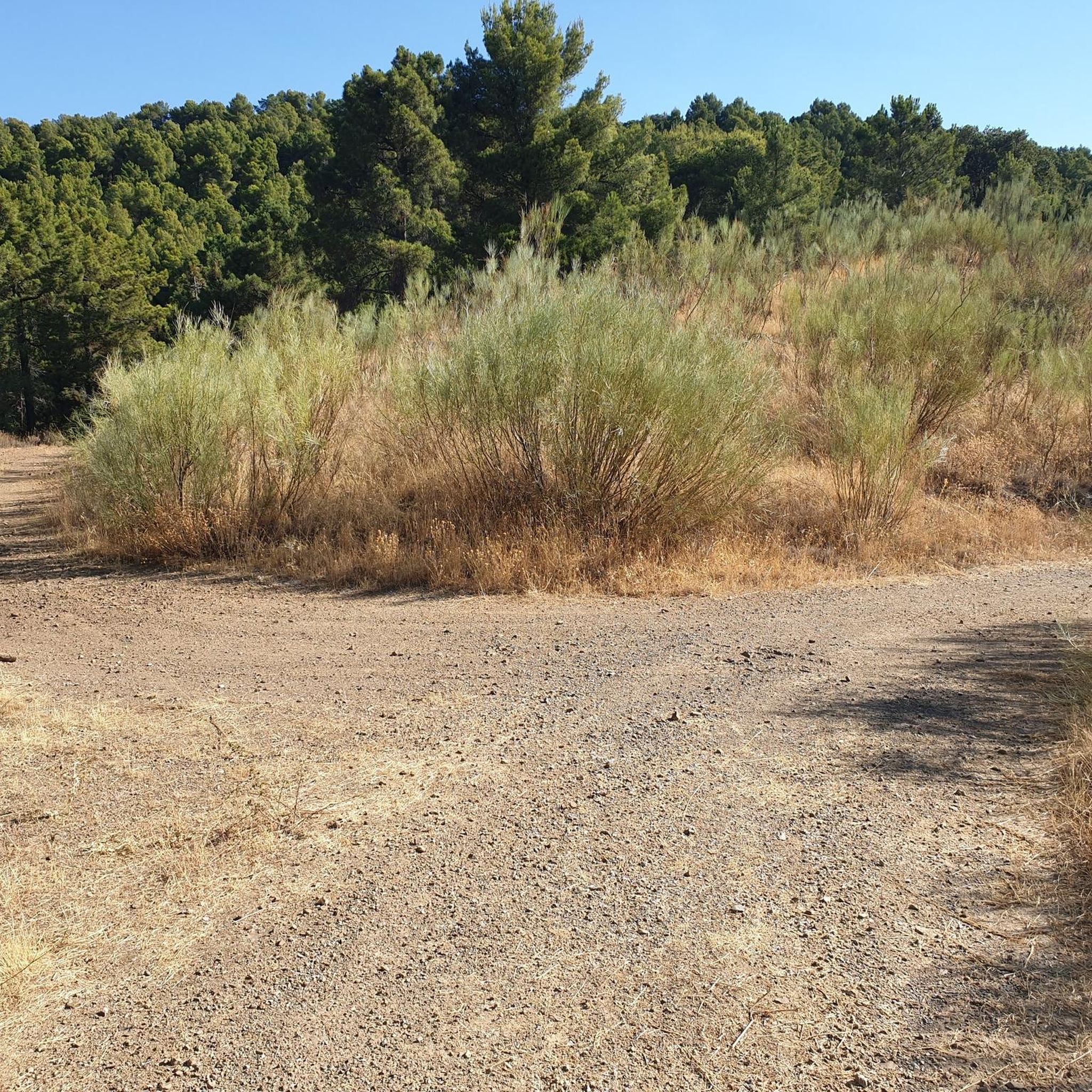
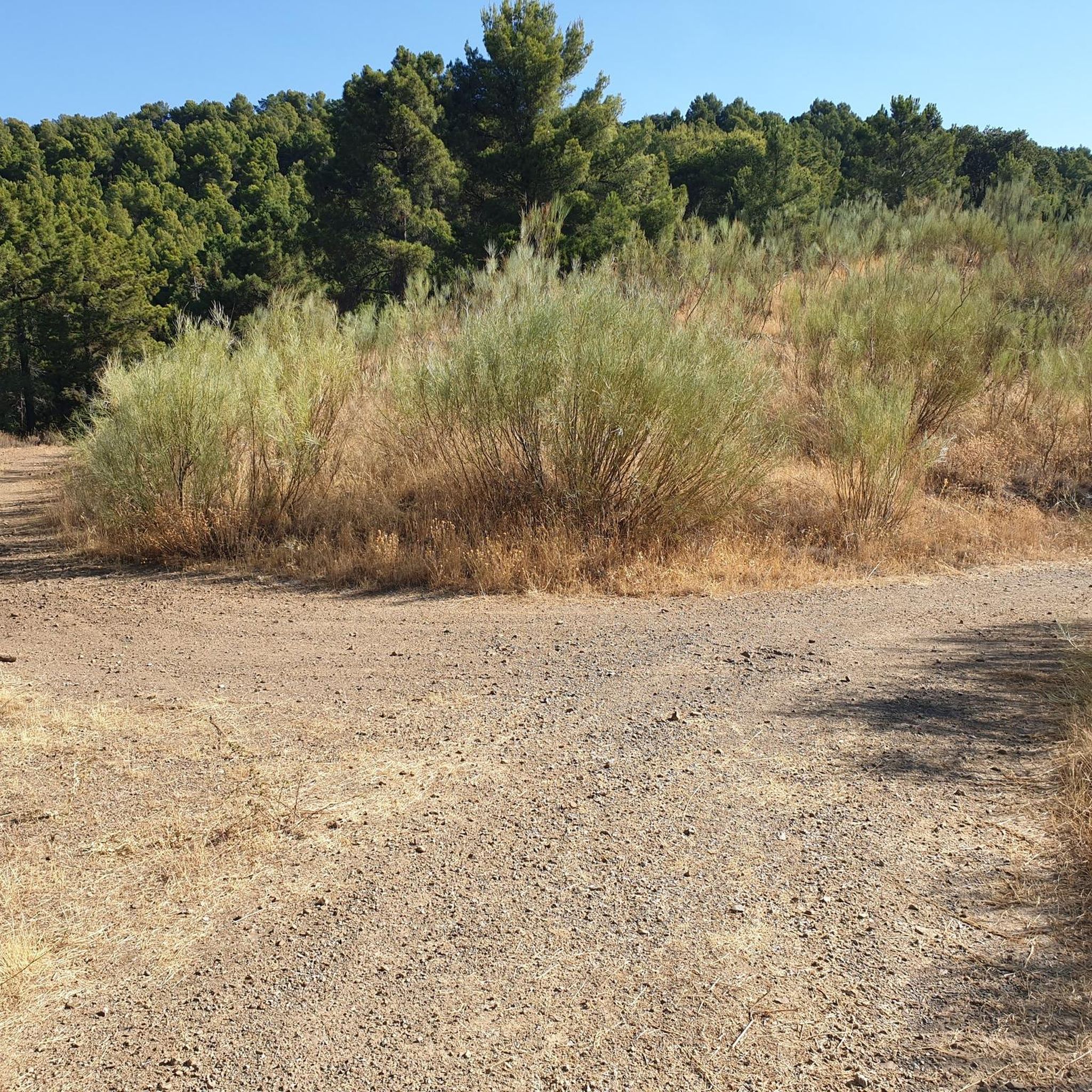
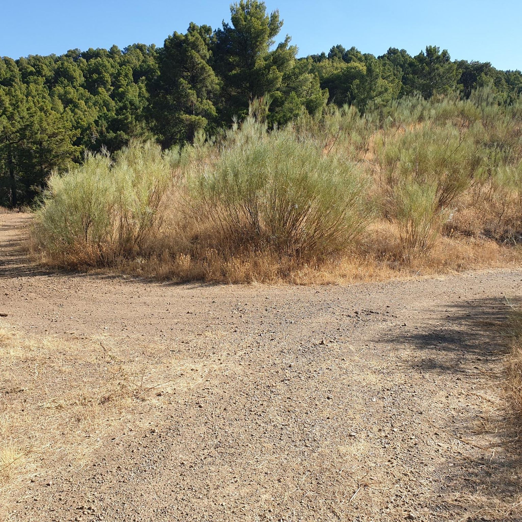
Crossroads between the Valdemadera peak, the Tiermas valley and Cerro del Espino
0
0

Beautiful hill located in the middle of a long trail.
0
0
A mountain pass with beautiful views of the Aljairén mountain range. It can be accessed via a well-maintained forest trail that ends at the pass, and then there are several trails to continue. The pass can also be accessed via a very long trail.
0
0

There is also a fountain, but we found it without water. We had to continue down to the village.
0
0

It is the highest point for many kilometers in the surrounding area (next to Pico de la Nevera, which cannot be accessed because it is a military installation). In summer there are fire surveillance personnel because it is a place with impressive views.
0
0

Or refuge of Inogés, it is a free refuge in quite good conditions. We must take them into account in case we had to take shelter there from a good storm
1
0
We are at the Pico del Rayo, the highest peak of the Sierra de Victor at 1427 masl with magnificent views of the Iberian System and Moncayo.
0
0
Located at an altitude of 1,058 meters and in the beautiful Sierra de Algairén, we find the Collado de la Luz or also called El Cuervo with panoramic views of the mountains that will not leave us indifferent. Near the pass is the Cerro del Espino
2
0
Frequently Asked Questions
How many hiking trails are available around Santa Cruz De Grío?
There are over 35 hiking trails available around Santa Cruz De Grío, offering a wide range of options for different fitness levels and preferences.
What kind of terrain and difficulty can I expect on hikes in Santa Cruz De Grío?
The region is characterized by its mountainous terrain, including the Sierra de Vicor and Sierra de Algairén. You can expect varied landscapes with significant elevation gains. Trails range from moderate, like the Ascent to Pico del Rayo Trail with over 700 meters of ascent, to more challenging routes requiring good fitness, such as the Cerro del Espino from Raso de la Cruz via Monte Mosomero, which involves over 900 meters of climbing.
Are there any family-friendly hiking options in Santa Cruz De Grío?
Yes, among the 36 available routes, there are 5 easy trails that are generally suitable for families or those looking for a less strenuous walk. These routes typically have less elevation gain and shorter distances, making them more accessible.
Can I find circular hiking routes in Santa Cruz De Grío?
Absolutely. Many routes in the area are circular, allowing you to start and end at the same point. An example is the challenging Cerro del Espino from Raso de la Cruz via Monte Mosomero — circular Sierra de Algairén, which offers expansive views as you traverse the Sierra de Algairén.
What natural landmarks or viewpoints can I discover while hiking in the area?
The region boasts several notable natural features. You can hike to Pico del Rayo, the highest peak in Sierra de Vicor, offering panoramic views. Another impressive viewpoint is Collado de la Luz in the Sierra de Algairén, which provides stunning vistas of the surrounding mountains.
Are there any cultural or historical attractions near the hiking trails?
While Santa Cruz de Grío itself is focused on natural landscapes, nearby towns offer cultural points of interest. For example, Morata de Jalón features the Plaza de España and Church of Santa Ana, and Almonacid de la Sierra has its own Plaza de la Iglesia and a castle, which hikers might explore in conjunction with their outdoor adventures.
What do other hikers enjoy most about hiking in Santa Cruz De Grío?
The area is highly rated by the komoot community, with an average score of 4.8 stars from over 20 reviews. Hikers often praise the diverse mountainous terrain, the challenging ascents to peaks like Pico del Rayo, and the expansive views from spots like Collado de la Luz.
What is the best time of year to go hiking in Santa Cruz De Grío?
Given its mountainous nature in Spain, spring and autumn generally offer the most pleasant hiking conditions with milder temperatures. Summer can be very hot, especially at lower elevations, while winter might bring colder temperatures and potentially snow at higher altitudes, requiring appropriate gear.
Is Santa Cruz De Grío accessible by public transport for hikers?
Information on direct public transport links specifically to trailheads in Santa Cruz De Grío is limited. It is generally advisable to have private transportation to access the more remote starting points for many of the hiking routes in this mountainous region.
Where can I find parking for hiking trails in Santa Cruz De Grío?
While specific parking areas for every trailhead are not detailed, many routes, such as the Aunt's Trail – Picnic Area with Wooden Cabin loop, often start from locations like Parque del Raso de la Cruz, which typically offer parking facilities. It's recommended to check the route details on komoot for specific starting points and potential parking information.
Are there any longer, more challenging hikes for experienced hikers?
Yes, for experienced hikers seeking a challenge, routes like the Cerro del Espino from Raso de la Cruz via Monte Mosomero offer significant distances (over 17 km) and substantial elevation gains (over 900 meters), demanding good to very good fitness and sure-footedness.
Can I bring my dog on the hiking trails in Santa Cruz De Grío?
Generally, dogs are welcome on hiking trails in natural areas, but it's always best to keep them on a leash, especially in areas with wildlife or livestock. Be sure to carry water for your dog and clean up after them to ensure a pleasant experience for everyone.
Most popular attractions around Santa Cruz De Grío

Get inspired with the komoot mobile app


Explore more
Browse the best Hikes in other regions.
