The best road cycling routes around Villanueva Del Rosario
4.9
(17)
1,882
riders
18
rides
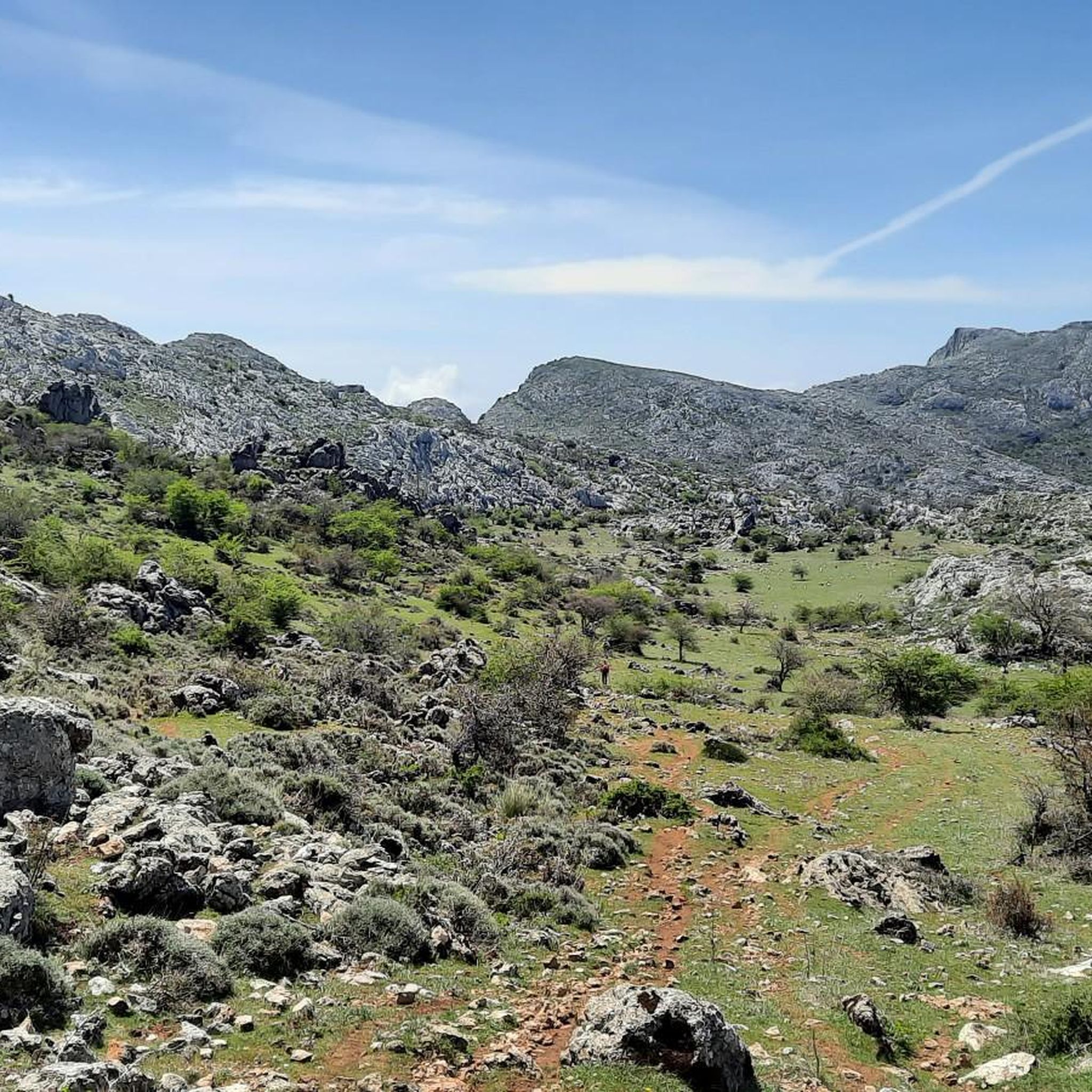
Road cycling around Villanueva Del Rosario is characterized by its diverse natural features, situated at the foot of the Sierra de Camarolos and Sierra del Jobo mountains. The landscape includes extensive olive groves and wheat fields, with the Guadalhorce River flowing through the area. The region offers varied terrain, from tranquil roads with good asphalt to natural mountain passes and areas with unique karst formations, providing a range of challenges for road cyclists.
Best road cycling routes around Villanueva Del…
Last updated: October 21, 2026
5.0
(2)
40
riders
82.8km
04:48
1,320m
1,320m
Hard road ride. Very good fitness required. Some segments of this route may be unpaved and difficult to ride.
46
riders
Hard road ride. Very good fitness required. Some segments of this route may be unpaved and difficult to ride.

5.0
(1)
28
riders
68.4km
03:41
1,380m
1,380m
Hard road ride. Very good fitness required. Mostly well-paved surfaces and easy to ride.
5.0
(1)
16
riders
96.7km
05:02
1,750m
1,750m
Hard road ride. Very good fitness required. Mostly well-paved surfaces and easy to ride.
42
riders
75.4km
03:51
1,270m
1,270m
Hard road ride. Very good fitness required. Mostly well-paved surfaces and easy to ride.
Get access to more routes and recommendations from other explorers.
Already have an account?
Our route recommendations are based on thousands of hikes, rides, and runs completed by other people on komoot.
Start today with a free account
Your next adventure awaits.

Other adventures around Villanueva Del Rosario

Tips from the Community

Ideal for the coffee break.
0
0

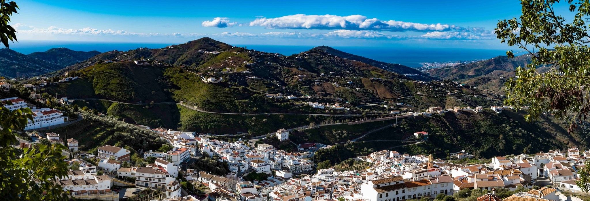
The Mirador offers a sweeping panoramic view of the surrounding hills at the foot of the El Torcal Natural Park. From here, one can see across rolling hills, olive and almond groves, and the expansive valley stretching below the village. In the background, striking rock formations rise, while the village itself is picturesquely nestled into the landscape.
0
0
At the end of the steady climb, where a sign reads El Torcal, you reach the pass, which runs along the western edge of the mountain range of the same name. Just a few kilometers further on, a separate road branches off to the El Torcal de Antequera Natural Park and its visitor center. From here, a sweeping view opens up across the surrounding mountain ranges. The pass lies directly on the main road connecting Antequera and Villanueva de la Concepción, making it a prominent landmark. Many mistake it for the natural park itself, but it actually marks the highest point of the road on the edge of the impressive karst mountains.
1
0
Colmenar, a picturesque village in the Andalusian province of Málaga, was founded at the end of the 15th century after the Christian reconquest of the region. The village's name derives from the Spanish word colmena ("beehive") and recalls the long tradition of beekeeping, which once played a central role here. Thanks to its favorable location in the Montes de Málaga mountains and the lush vegetation, beekeeping was one of the most important sources of income for the population for centuries. Even today, Colmenar is known as the "Village of Honey" and proudly maintains this cultural heritage. Among the village's most important landmarks is the Ermita de la Candelaria, a small 17th-century chapel perched on a hill overlooking the village, offering sweeping views of the surrounding mountains. In the town center stands the Iglesia de Nuestra Señora de la Asunción, a church dating from the 16th and 17th centuries, which impresses with its simple Andalusian style and tranquil atmosphere. At the town entrance, visitors are greeted by the Puerta de la Cruz, a symbolic gate featuring a monolith bearing the village's coat of arms – adorned with a bee and a honeycomb, representing Colmenar's history and identity. A particular highlight is the Museo de la Miel, the "Honey Museum," where visitors can learn all about beekeeping, the work of bees, and honey production. Thus, Colmenar harmoniously blends history, nature, and tradition – a place where the region's past and a deep love for its landscape are reflected in every street and every scent of wild rosemary.
6
0
The city gate of Antequera was built in 1749 in the Baroque style, demolished in the 19th century, and faithfully reconstructed in the 1990s. Today, the Puerta de Estepa is a symbolic gateway to the city.
3
0

Very good water... You have to drive a few meters uphill from the main road.
0
0
The Puerto de El Torcal is the highest point on the road that leads from Villanueva de la Concepción up to Antequera (Carretera de Málaga a Antequera por Villanueva de la Concepción). At the end of the steady climb, where a sign reading El Torcal stands, you reach the pass, which runs along the western edge of the mountain range of the same name. Just a few kilometers further, a separate road branches off to the El Torcal de Antequera Natural Park and its visitor center. From here, a sweeping view of the surrounding mountain ranges opens up. The pass is located directly on the main road between Antequera and Villanueva de la Concepción and is therefore a prominent feature in the landscape. Many mistake it for the natural park itself, but it actually marks the highest point of the road at the edge of the impressive karst mountain range.
1
0
The Puerta de Estepa city gate is one of Antequera's most striking buildings and marks the historic entrance to the city. It is located at the end of the Alameda de Andalucía, very close to the Plaza de la Constitución, where the modern city merges into the historic old town. The gateway with its three round arches was built in 1749 in the Baroque style and once served as a welcoming gateway for travelers coming from the direction of Estepa. The structure was demolished in the 19th century but faithfully rebuilt in the 1990s. Today, the Puerta de Estepa city gate is a popular photo opportunity and a symbolic gateway to the city. The view of the old town through the arches is particularly impressive.
4
0
Frequently Asked Questions
How many road cycling routes are available in Villanueva Del Rosario?
Villanueva Del Rosario offers a wide selection of road cycling routes, with over 70 distinct tours available. These routes cater to various skill levels, from easy rides to very challenging ascents.
Are there easy road cycling routes suitable for beginners or families?
Yes, there are routes suitable for beginners and families. While the majority are moderate to difficult, you can find at least one easy road cycling route. The region research highlights a circular route along the Camino de Las Huertas, such as the 'Villanueva del Rosario - Navillas' option, which is an 18.66 km easy, fairly flat ride passing the Guadalhorce River and other streams, ideal for a less strenuous experience.
What are some challenging road cycling climbs in the area?
For experienced cyclists seeking a challenge, the region offers significant climbs. The Ascent to El Torcal is particularly notable, leading into the El Torcal de Antequera nature reserve with its extraordinary karst formations. Another demanding option is the Mirador de Sylvania – Isabel I of Castile Viewpoint loop from Villanueva del Rosario, a difficult 125.3 km route with over 1700 meters of elevation gain.
Are there any circular road cycling routes?
Yes, many of the road cycling routes in Villanueva Del Rosario are circular, allowing you to start and end in the same location. Examples include the Colmenar – Colmenar loop from Villanueva del Rosario, a difficult 68.9 km path, and the Plaza Ochavada of Archidona – Archidona loop from Villanueva del Rosario, a moderate 62.1 km route.
What natural attractions or landmarks can I see along the road cycling routes?
The routes often pass by significant natural and cultural landmarks. You can encounter the impressive Hundred‑Spout Fountain, the source of the Guadalhorce River. Other notable sights include the unique karst landscapes of El Torcal de Antequera, the Baños de Vilo Hot Springs, and the expansive Zafarraya Plain. Many routes also offer scenic views from points like the Puerto del Sol (1085 m).
Are there routes that follow the Guadalhorce River?
Yes, the Guadalhorce River is a prominent natural feature in the region, and several routes traverse its valley. The region research mentions 'Upper Guadalhorce River Valley loops' which offer scenic rides. An example is the Upper Guadalhorce River Valley – Moorish Archway of Alfarnate loop from Villanueva del Rosario, a moderate 49.7 km route that explores this beautiful area.
What are the best times of year for road cycling in Villanueva Del Rosario?
The best times for road cycling in Villanueva Del Rosario are typically spring (March to May) and autumn (September to November). During these seasons, the weather is generally mild and pleasant, avoiding the intense heat of summer and the cooler, potentially wetter conditions of winter. The natural surroundings, including olive groves and varied vegetation, are also particularly vibrant during these periods.
Where can I find scenic viewpoints on the road cycling routes?
The mountainous terrain around Villanueva Del Rosario offers numerous scenic viewpoints. Routes like the Mirador de Sylvania – Isabel I of Castile Viewpoint loop from Villanueva del Rosario are specifically named for their panoramic vistas. The region research also mentions the El Boquete Viewpoint along some Upper Guadalhorce River Valley loops, and the View of the Gomer and Doña Ana cliffs as a highlight.
Is there parking available near the road cycling trailheads?
Villanueva Del Rosario is a small town, and parking is generally available within the town center or near the start points of many routes. As a hub for cyclists, it's common to find suitable parking options, especially in designated areas or along quieter streets, before embarking on your ride.
What do other cyclists say about road cycling in Villanueva Del Rosario?
The road cycling experience in Villanueva Del Rosario is highly rated by the komoot community, with an average score of 4.75 stars from over 10 reviews. Cyclists often praise the diverse terrain, from tranquil roads through olive groves to challenging mountain passes, and the stunning natural beauty, including the Sierra de Camarolos and Sierra del Jobo mountains.
Are there routes that explore the unique karst formations?
Yes, for those interested in unique geological features, routes that ascend towards El Torcal de Antequera are ideal. This nature reserve is renowned for its extraordinary karst formations, offering a surreal and memorable landscape at the top, though the climb itself is demanding.
Are there routes that connect different towns or villages?
Many routes in the area are designed to connect various towns and villages, offering a chance to experience the local culture and scenery. For example, the View of Villanueva de Tapia – Plaza Ochavada of Archidona loop from Villanueva del Rosario is a difficult 73.7 km route that links different communities and landmarks.
Most popular routes around Villanueva Del Rosario
Most popular attractions around Villanueva Del Rosario

Get inspired with the komoot mobile app


Explore more
Browse the best Road cycling routes in other regions.
