The best running trails around Alcocer De Planes
4.8
(40)
2,620
runners
118
runs
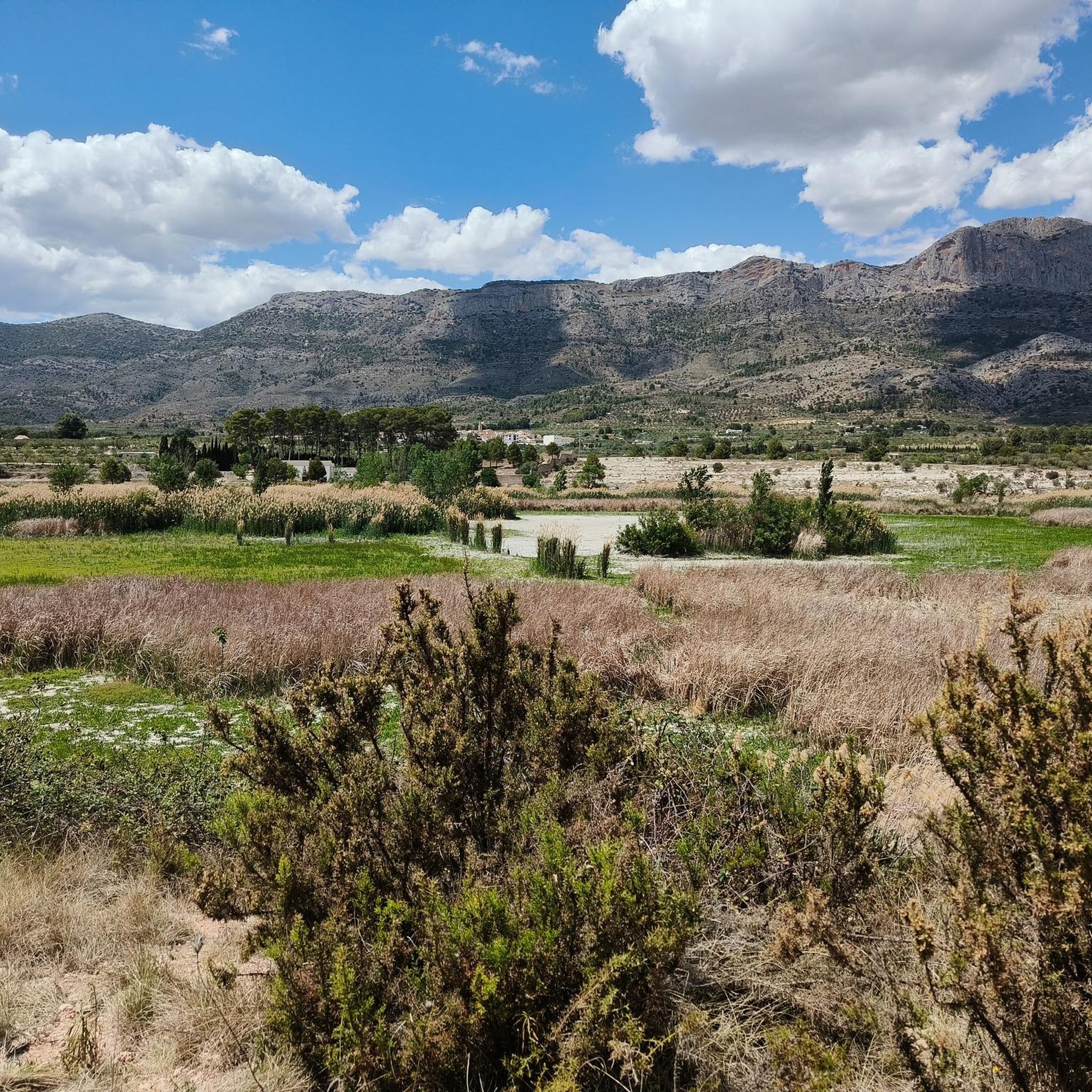
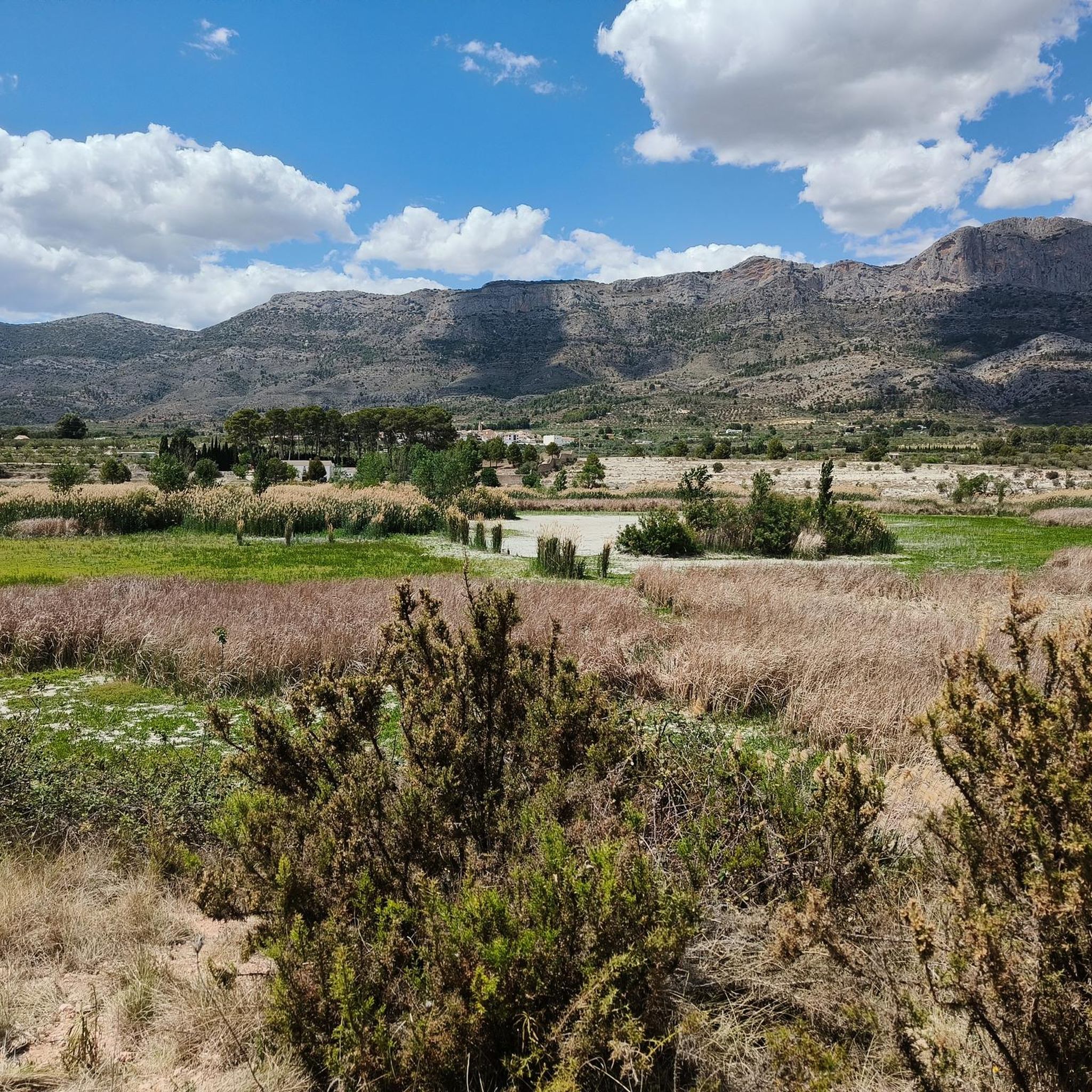
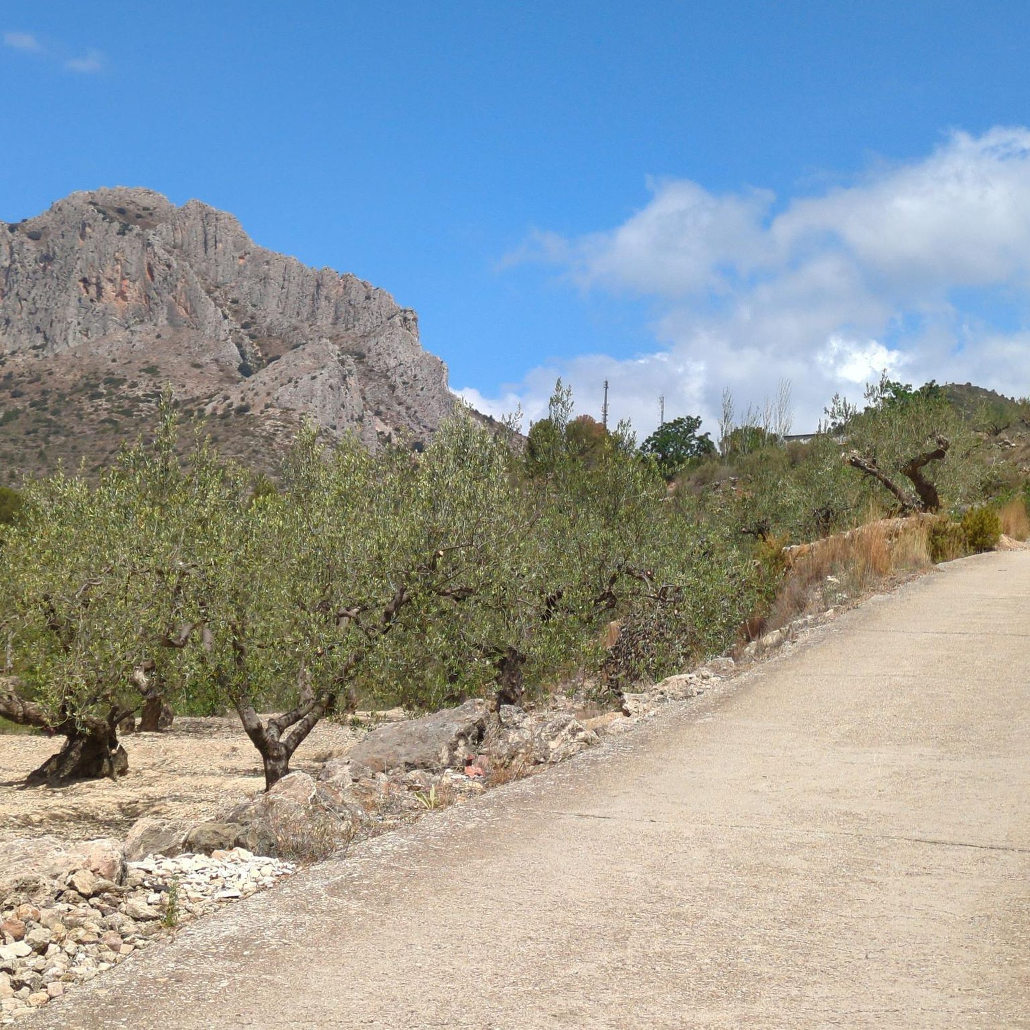
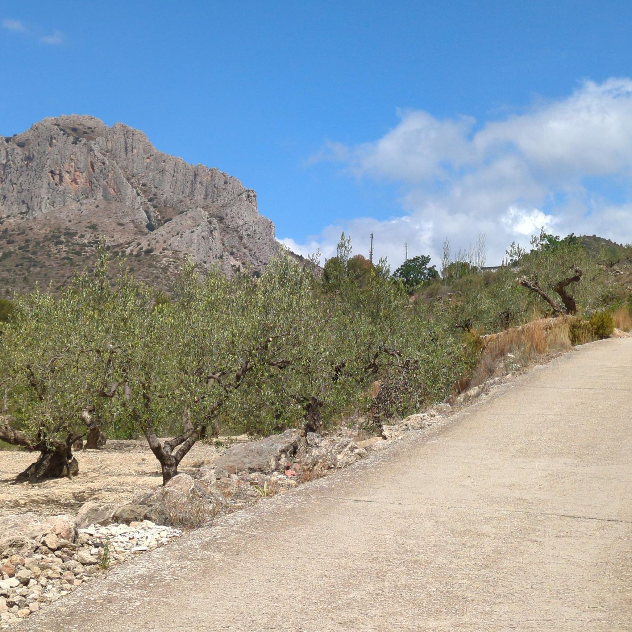
Jogging routes around Alcocer De Planes traverse a diverse landscape in the Alicante province, characterized by river valleys, mountainous terrain, and unique geological formations. The region features the scenic Serpis River and its greenway, offering flat and accessible paths. Surrounding mountain ranges, including the Sierra de Benicadell and Sierra de Mariola, provide opportunities for more challenging running with rewarding views. The area also includes the Beniarrés Dam and historical "cavas," integrating natural beauty with points of interest.
Best jogging routes…
Last updated: June 29, 2026
20
runners
19.6km
03:42
1,300m
1,300m
Hard run. Very good fitness required. Sure-footedness, sturdy shoes and alpine experience required.
22
runners
28.1km
03:51
1,010m
1,010m
Hard run. Very good fitness required. Sure-footedness, sturdy shoes and alpine experience required.

Sign up for free
18
runners
7.70km
00:48
60m
60m
Moderate run. Good fitness required. Mostly paved surfaces. Suitable for all skill levels.
12
runners
25.1km
03:58
1,260m
1,260m
Hard run. Very good fitness required. Sure-footedness, sturdy shoes and alpine experience required.
12
runners
10.5km
01:05
70m
70m
Moderate run. Good fitness required. Mostly paved surfaces. Suitable for all skill levels.
Get access to more routes and recommendations from other explorers.
Sign up for free
Already have an account?
Our route recommendations are based on thousands of hikes, rides, and runs completed by other people on komoot.
Start today with a free account
Your next adventure awaits.
Login or Signup

Tips from the Community

From the heart of Concetaina you can see the tower that remains of the castle that dominated the town. This vibrant town is nestled in the valley of the Alcoy River and is ideal for a break if you are on a tour around here.
0
0

Creu de la Covalta, with exceptional views of the Albaida valley.
0
0
Alt de la Covalta marked with a geodesic vertex. It is separated from the cross of La Covalta by approximately 250 m.
0
0


From its 1,390 meters above sea level, the top of Montcabrer is the panoramic point par excellence of the Parc Natural Serra de Mariola. From here you can see other peaks such as Aitana, Puig Campana and in the distance the summit of Montgó and Benicadell. You can reach the top by several alternative paths and trails of varying difficulty, it's all up to you!
2
0

In the Sierra de Mariola Natural Park. The road ends at the ruins of Mas de Llopis. From this point, a well-marked path takes us in about 45 minutes to the top of Montcabrer.
6
2

The summit of Montcabrer is an extraordinary panoramic point of the sierras and mountains of Alicante and southern Valencia. Among others, the Aitana massif, the Campana hill, the Montgó summit, the Benicadell mountain range, the walled silhouette of La Safor, and the distinguished Mondúver appear on the horizon. On clear and clear days it is possible to see the island of Ibiza floating in the Mediterranean.
4
1
Frequently Asked Questions
How many running routes are available in Alcocer De Planes?
Alcocer De Planes offers a wide selection of over 120 running routes. These range from easy paths suitable for a gentle jog to challenging mountain trails, ensuring options for all fitness levels.
Are there easy running paths suitable for beginners or families in Alcocer De Planes?
Yes, Alcocer De Planes has a few easy running paths perfect for beginners or families. The House loop from Muro de Alcoy is a moderate 4.8-mile trail that offers varied terrain without extreme difficulty. The Serpis Greenway, while not a specific route in our data, is also known as a flat and accessible option along the river, ideal for a relaxed run.
What kind of scenery can I expect on the jogging routes around Alcocer De Planes?
Jogging routes in Alcocer De Planes offer diverse scenery, from the tranquil river valleys of the Serpis River to the dramatic mountainous backdrops of the Sierra de Benicadell and Sierra de Mariola. You'll encounter unique geological formations, historical features like ancient 'cavas' (snow storage facilities) such as Cava Gran de Agres, and panoramic views from points like El Calvari.
Are there any circular running routes in the area?
Yes, many of the running routes in Alcocer De Planes are circular, allowing you to start and finish at the same point. For example, the challenging Montcabrer loop from Muro de Alcoy offers a rewarding circular experience through mountainous terrain.
What interesting landmarks or historical sites might I see while running?
The region is rich in landmarks. You might pass by the historic Old Lorcha Railway Station along the Serpis Greenway, or catch glimpses of the Beniarrés Dam. Higher routes offer views of Planes Castle. You can also discover ancient 'cavas' like Cava Gran de Agres, or enjoy stunning vistas from viewpoints like Font Freda.
What do other runners say about the trails in Alcocer De Planes?
The running trails in Alcocer De Planes are highly regarded by the komoot community, with an average rating of 4.8 stars from over 40 reviews. Runners frequently praise the varied terrain, from river paths to mountain ascents, and the beautiful natural surroundings that make each run an engaging experience.
Are there any routes with significant elevation gain for a challenging run?
Absolutely. Alcocer De Planes is framed by impressive mountain ranges, offering plenty of challenging runs with significant elevation gain. The Montcabrer loop from Cocentaina, for instance, features over 1200 meters of ascent, leading towards the Montcabrer Summit for rewarding panoramic views.
When is the best time of year to go running in Alcocer De Planes?
The Alicante province generally enjoys a mild climate, making running enjoyable for much of the year. Spring and autumn offer pleasant temperatures, ideal for longer runs. Even in winter, many routes are accessible, though higher mountain trails might require more preparation. Summers can be hot, so early morning or late evening runs are recommended during this season.
Are there any running routes that follow a river or feature water elements?
Yes, the Serpis River is a prominent natural feature in the region. The Serpis Greenway, which follows the river, provides a scenic and relatively flat path. Additionally, the nearby Barranco De L'encantada (The Enchanted Gorge) is known for its crystal-clear pools and waterfalls, offering a refreshing environment for exploration, though specific running routes through it may vary in accessibility.
Are there moderate-difficulty running routes for intermediate runners?
Yes, Alcocer De Planes offers a good selection of moderate-difficulty routes. For example, the House – View of Cocentaina Castle loop from Muro de Alcoy is a 6.5-mile trail with manageable elevation changes, perfect for intermediate runners looking for a good workout without extreme challenges.
Is public transport available to access the running trails in Alcocer De Planes?
While Alcocer De Planes is a smaller village, public transport options to the general area exist, though direct access to specific trailheads might be limited. It's advisable to check local bus schedules for connections to Alcocer De Planes or nearby towns like Muro de Alcoy, from where many routes originate.
Can I bring my dog on the running trails in Alcocer De Planes?
Many outdoor trails in the Alcocer De Planes region are dog-friendly, especially those in natural areas. However, it's always best to keep your dog on a leash, especially in protected areas or near wildlife, and to check for any specific local regulations or signage on individual routes.
Most popular routes around Alcocer De Planes
Most popular attractions around Alcocer De Planes

Get inspired with the komoot mobile app


Explore more
Browse the best Running Trails & Routes in other regions.
