The best MTB trails around Sant Bartomeu Del Grau
4.3
(533)
5,827
riders
257
rides
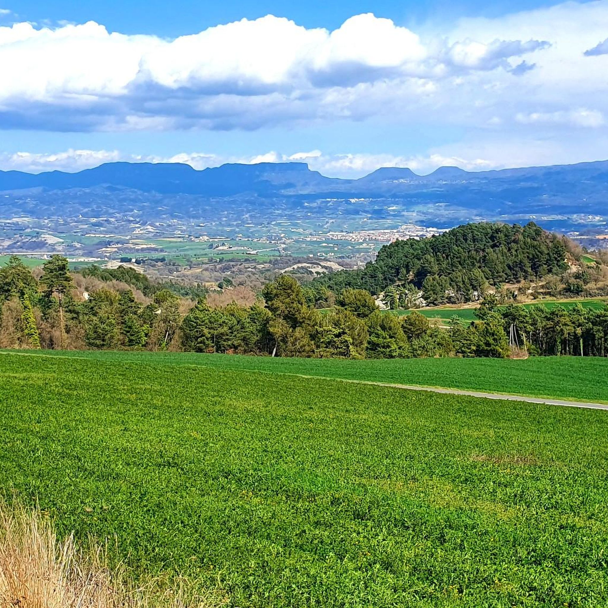
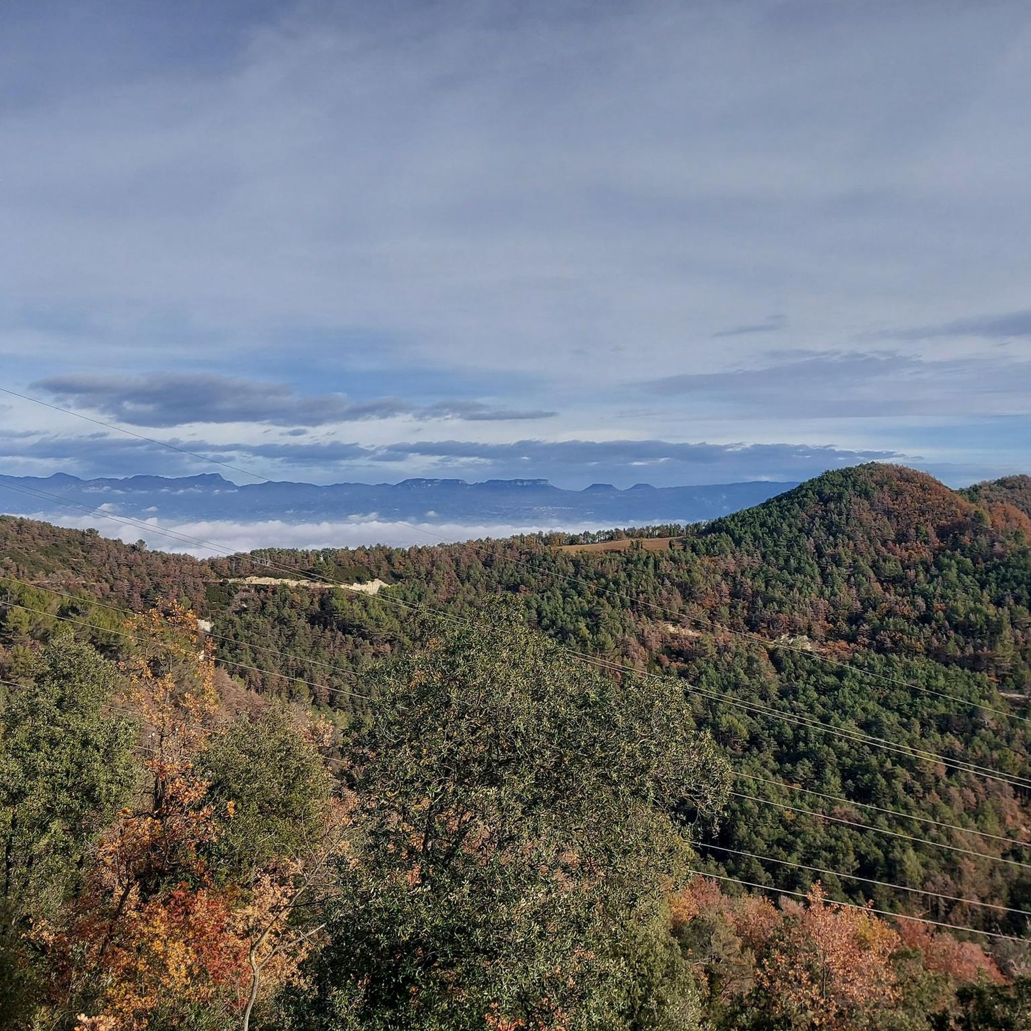
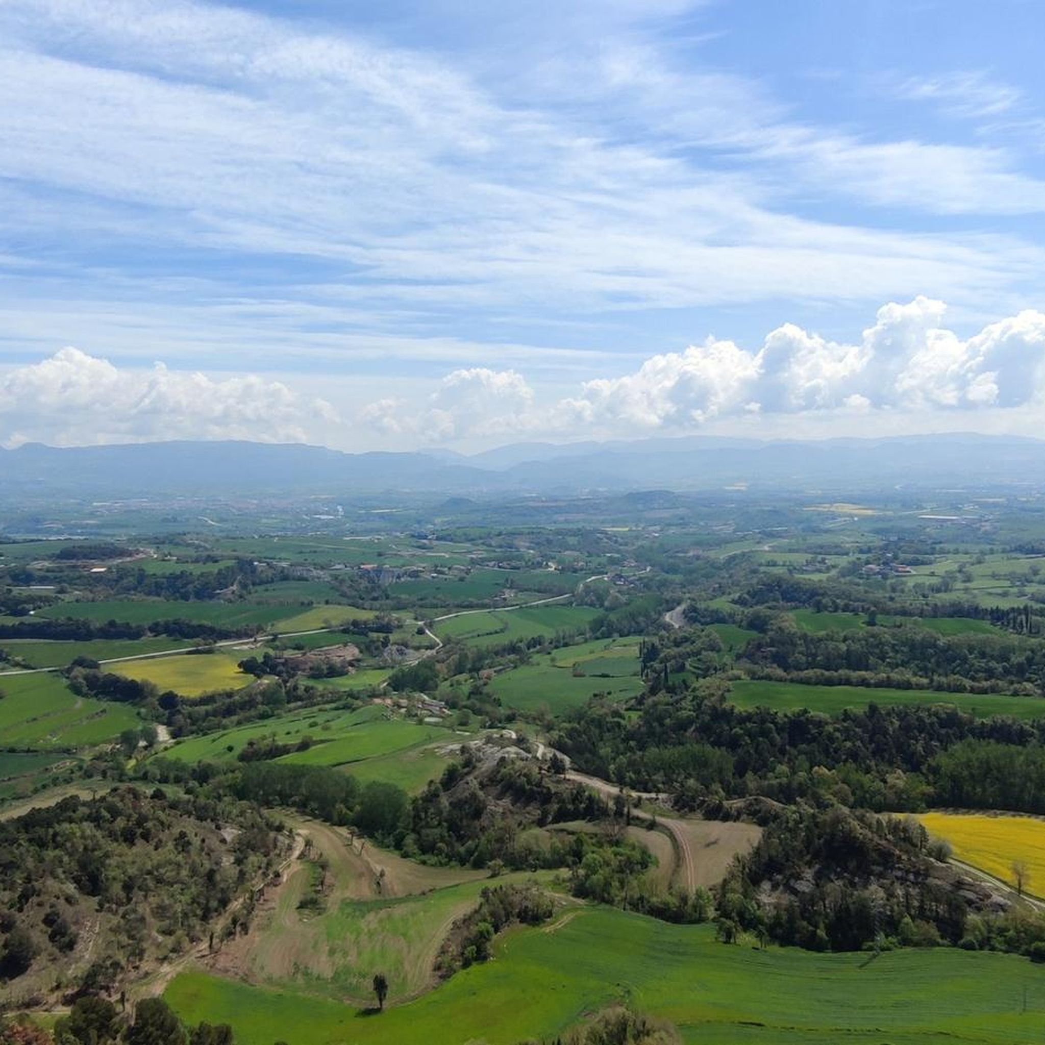
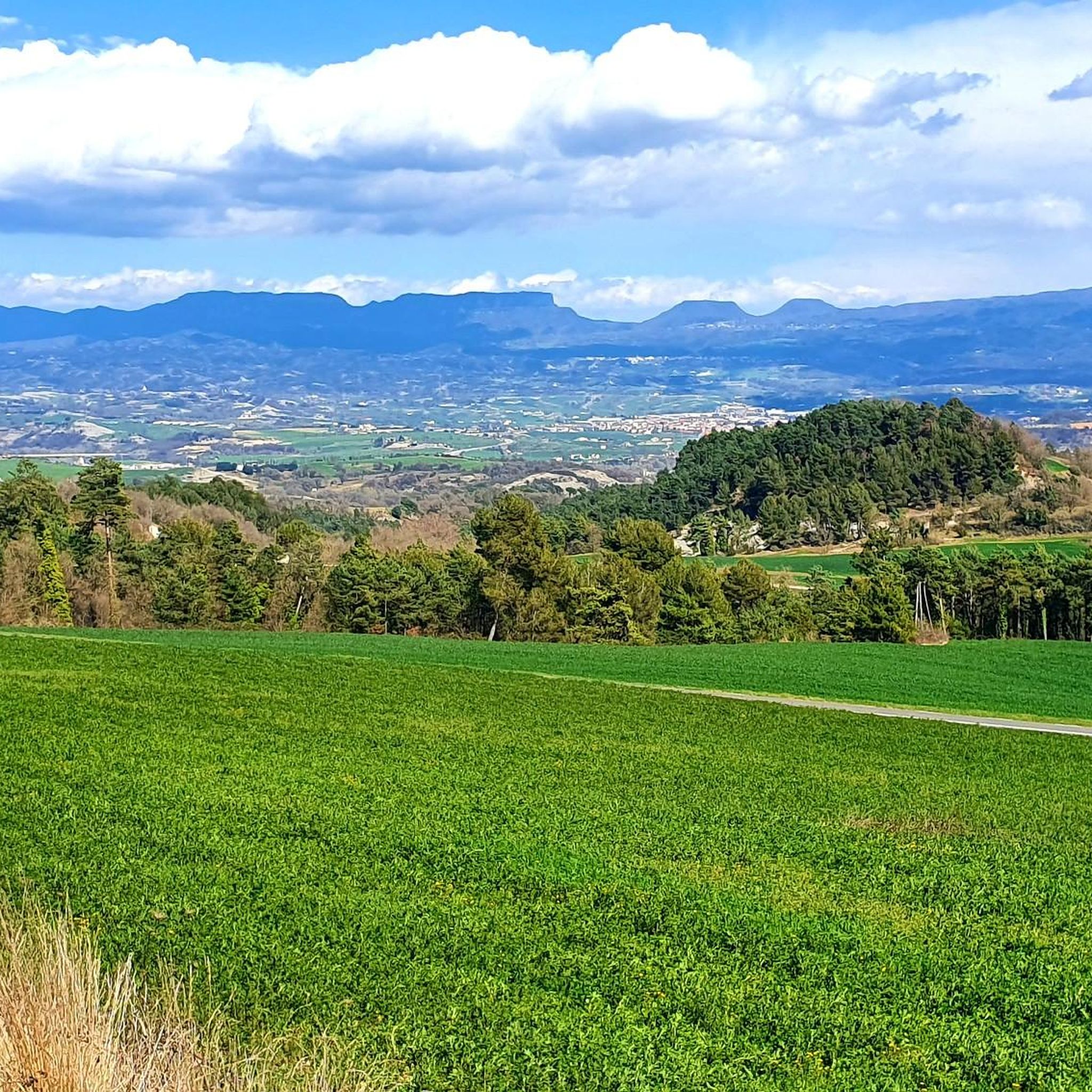
Mountain bike trails around Sant Bartomeu del Grau traverse a diverse and rugged landscape, characterized by high mountains, serrats, ravines, and deep valleys. The region features extensive trail networks through forests of pine, oak, and holm oak, alongside cereal fields and riparian vegetation along waterways like the Riera de Sant Bartomeu. Elevated terrain provides panoramic views of the Plain of Vic and surrounding mountain ranges, offering varied mountain biking terrain.
Best mountain bike trails around Sant Bartomeu Del Grau
- The…
Last updated: October 13, 2026
5.0
(1)
17
riders
31.6km
02:37
690m
690m
Moderate mountain bike ride. Good fitness required. Suitable for all skill levels.
3.0
(1)
17
riders
46.5km
04:38
1,150m
1,150m
Hard mountain bike ride. Very good fitness required. Suitable for all skill levels.

4.3
(6)
6
riders
13.5km
01:11
180m
180m
Easy mountain bike ride. Great for any fitness level. Suitable for all skill levels.
12
riders
Hard mountain bike ride. Very good fitness required. Advanced riding skills necessary. Some portions of the route may require you to push your bike.
8
riders
Hard mountain bike ride. Very good fitness required. Advanced riding skills necessary. Some portions of the route may require you to push your bike.
Get access to more routes and recommendations from other explorers.
Already have an account?
Our route recommendations are based on thousands of hikes, rides, and runs completed by other people on komoot.
Start today with a free account
Your next adventure awaits.
Tips from the Community

The monastery of Santa Maria de l’Estany is one of the great ensembles of Catalan Romanesque architecture. The church, consecrated in 1133, stands out for its sobriety and for the elegant cimborio that crowns the transept. But the great treasure is in the cloister: its 72 capitals depict religious and profane scenes, among which the Last Supper and the triumphal entry of Jesus into Jerusalem stand out.
0
0

Small town but with good places to eat
0
0

Following the BV4316 road from Vic to Santa Eulàlia de Riuprimer, you will find La Guixa, on Carrer Marinada in Vila de Sentfores.
1
0

Olost is a municipality in the province of Barcelona, in the county of Osona, in the sub-county of Lluçanés. It also includes the town of Santa Creu de Jutglar. The parish of Santa María de Olost has been documented since 908 and that of Santa Creu de Jotglar since 984. From 1966 to 1991 Mosén Ramon Vila i Pujol was rector of the church of Santa María de Olost.
14
0
Santa Maria de Seva is a church with Romanesque, Baroque and historicist elements in Seva (Osona) included in the Inventory of the Architectural Heritage of Catalonia. Santa Maria de Seva is located in the center of the old town of Seva. The construction of the 11th century, with a semicircular nave and apse, underwent multiple interventions, especially in the 17th century, when the entire head was transformed. We find a Baroque building with vestiges of the Romanesque period, of which the tower bell stands out. On the south wall, clearly elevated, the frieze of Lombard-type arches is preserved. In 1915, the neo-Romanesque portal was built. The bell tower is attached to the northeast corner. It has a square plan and is divided into six floors. In each of these levels several windows are opened. On the three lower levels, slit windows open. On the fourth floor we find a semi-circular arched window on three sides. On the last two floors we find a twin window, with double columns with capitals sculpted with geometric motifs, on each of the walls. The bell tower of Seva is characterized by the absence of arches, bands and friezes, so common in the 11th century. The tower is topped by modern stepped battlements.
18
0

The small town of Muntanyola doesn't really have a center, but it does have beautiful, very old buildings, churches, forests and fields. It is a good place to visit on a walk or a bike ride.
2
1

Olost is a beautiful town that can be recognized from afar by the two bell towers of the Santa Maria church. Olost is a beautiful town, located in a small valley cut by the stream of Olost, with small shops that can be recognized from afar by the two bell towers of the church of Santa Maria. According to the legend, a couple promised a new bell tower if the virgin gave them a child; and they had a twin! It is a large nucleus, in relation to those surrounding it in the Lluçanès area, which already extended from the Sant Adjutori mountain range to the Olost stream already in modern times (17th and 18th centuries). The nerve center of Olost is Plaça Major, where the parish church and the town house are located. From this point the core is structured, both old and now. Among the streets built over the course of the 17th and 18th centuries, to the west of Plaça Major, you can count Carrer Berga, one of the longest in the town, Carrer Gelada, Carrer Nou and Carrer de Sant Adjutori, located in the ridge It also has the Raval del d'Olost, with preserved houses in Raval del Mig and Raval de Baix streets. In these older streets you can see houses framed with stone masonry walls that retain dated lintels indicating construction dates of the 17th and 18th centuries. We recommend going up to the viewpoint of Sant Adjutori, where there is the hermitage and hill from where you can observe beautiful panoramic views of the town and the mountains on the horizon that enclose the Lluçanès plateau: from the agricultural and forest landscape from Lluçanès to Montserrat, passing through the eastern Pyrenees in the north. https://turisme.llucanes.cat/municipi/olost/ https://turisme.llucanes.cat/visiteu/esglesia-santa-maria-olost/
4
0
The castle of Olost is located in a hollow – therefore in a not very strategic situation – next to the stream of Olost and to the south of the town of Olost and very close to its main nucleus, although it belongs to the municipality of Oristà. The castle arose in the 11th century after the disappearance of the castle of Oristà. It started as just a watchtower with a rectangular plan. Later on, it became a castle, although it was never a defense fortress but rather a stately residence bringing together feudal possessions. Of the old building, the tower and the Gothic chapel are currently preserved. https://ca.wikipedia.org/wiki/Castell_d%27Olost
2
0
Frequently Asked Questions
How many mountain bike trails are available in Sant Bartomeu Del Grau?
Sant Bartomeu Del Grau offers a wide selection of mountain bike trails, with over 230 routes available. These include 34 easy, 102 moderate, and 103 difficult trails, catering to various skill levels.
What is the typical terrain like for mountain biking in Sant Bartomeu Del Grau?
The terrain in Sant Bartomeu Del Grau is diverse and rugged, characterized by high mountains, serrats (small mountain ranges), ravines, and deep, short valleys. You'll ride through extensive networks of trails, often passing through pine, oak, and holm oak forests, alongside cereal fields and riparian vegetation along streams like the Riera de Sant Bartomeu. The varied topography provides engaging trails for all mountain bikers.
When is the best time of year to go mountain biking in Sant Bartomeu Del Grau?
The region's climate generally allows for mountain biking throughout much of the year. Spring and autumn offer pleasant temperatures and vibrant landscapes, while summer can be warm, making early morning or late afternoon rides ideal. Winter rides are also possible, though some higher elevation trails might be cooler.
Are there any notable landmarks or viewpoints to see while mountain biking?
Yes, the elevated terrain provides spectacular panoramic views. You can find viewpoints like the Mirador de Roc Llarg and Mirador de la Creu, offering vistas of the Plain of Vic and surrounding mountain ranges such as Montseny, Guilleries, Collsacabra, and even parts of the Pyrenees. Historical sites like Romanesque churches (e.g., Sant Jaume d'Alboquers) and the Gurb Cross also dot the landscape.
Can I find any natural monuments or unique geological features on the trails?
Absolutely. The area is rich in natural features. You might encounter ancient trees like The Lady's Oak or the Ancient Olive Tree at Casanova de Viladecans. The eastern edge of the municipality features cliffs composed of 'Sant Bartomeu Limestones,' notable for their paleontological richness, formed approximately 40 million years ago.
What do other mountain bikers say about the trails in Sant Bartomeu Del Grau?
The mountain biking routes in Sant Bartomeu Del Grau are highly rated by the komoot community, with an average score of 4.3 stars from over 380 reviews. More than 6,000 mountain bikers have used komoot to explore the varied terrain, often praising the diverse landscapes, challenging climbs, and rewarding views.
Are there any family-friendly mountain bike routes in Sant Bartomeu Del Grau?
Yes, there are 34 easy mountain bike trails in the area suitable for families or those looking for a more relaxed ride. An example is the Castell d'Olost loop from Olost, an 8.4-mile (13.5 km) trail that leads through rural landscapes and past historical sites, often completed in about 1 hour 10 minutes.
Are there options for advanced mountain bikers seeking a challenge?
Definitely. Sant Bartomeu Del Grau offers 103 difficult mountain bike trails for experienced riders. Routes like the L'Estany – Puig de la Caritat loop from Ctra. C-154 - Hostal Nou, a challenging 28.1-mile (45.2 km) path, feature significant elevation gain and expansive views across the region's elevated terrain.
Can I find circular mountain bike routes in the area?
Yes, many routes in Sant Bartomeu Del Grau are designed as loops, offering convenient circular rides. A popular option is the Riera de Sorreigs Reservoir loop from Olost, a moderate 19.6-mile (31.6 km) trail winding through varied forest and reservoir landscapes.
What kind of wildlife might I encounter on the trails?
The municipality boasts a rich natural environment. You might spot various bird species, mammals like wild boars, foxes, and badgers, as well as amphibians and reptiles. A portion of the territory is included in the Sorreigs Plan of Natural Interest Spaces (PEIN), recognized for its rich fauna and healthy forest ecosystems.
Are there any routes that pass by water features or reservoirs?
Yes, the area is crisscrossed by streams and rivers such as the Riera de Sant Bartomeu, Riera de les Llobateres, and the Riera de Sorreigs. The Riera de Sorreigs Reservoir loop from Olost is a prime example of a route that takes you past significant water features and a reservoir.
Is parking available for mountain bikers in Sant Bartomeu Del Grau?
While specific parking areas for mountain bikers are not explicitly detailed, the presence of numerous trailheads and popular routes suggests that parking is generally available in or near the villages and starting points of the trails. It's advisable to check local signage upon arrival.
Most popular routes around Sant Bartomeu Del Grau
Most popular attractions around Sant Bartomeu Del Grau

Get inspired with the komoot mobile app


Explore more
Browse the best MTB trails in other regions.
