The best walks and hikes around Valmala
4.7
(105)
770
hikers
49
hikes
Hiking around Valmala, located in Italy's Province of Cuneo, offers access to the Valle Varaita and connections to the Maira Valley via mountain passes. The region features extensive alpine pastures, significant forests like the Bosco dell'Alevè, and mountainous terrain. Hikers can explore diverse natural settings alongside historical sites such as the Santuario di Valmala and the ancient rock engravings of Monte Roccerè.
Best hiking trails around Valmala
- The most popular hiking route is Trail of the Waterfalls, a 4.3…
Last updated: October 15, 2026
4.6
(12)
57
hikers
6.96km
02:29
400m
400m
Hike the Senda de las Cascadas, a moderate 4.3-mile (7.0 km) circular route through ancient forests and past stunning waterfalls.
4.0
(5)
17
hikers
11.9km
03:33
340m
340m
Moderate hike. Good fitness required. Easily-accessible paths. Suitable for all skill levels.

6
hikers
Hard hike. Very good fitness required. Mostly accessible paths. Sure-footedness required.
4.5
(4)
70
hikers
14.8km
06:27
1,140m
1,140m
Hard hike. Very good fitness required. Mostly accessible paths. Sure-footedness required.
5.0
(2)
29
hikers
22.9km
07:23
950m
940m
Hard hike. Very good fitness required. Mostly accessible paths. Sure-footedness required.
Get access to more routes and recommendations from other explorers.
Already have an account?
Our route recommendations are based on thousands of hikes, rides, and runs completed by other people on komoot.
Start today with a free account
Your next adventure awaits.

Tips from the Community

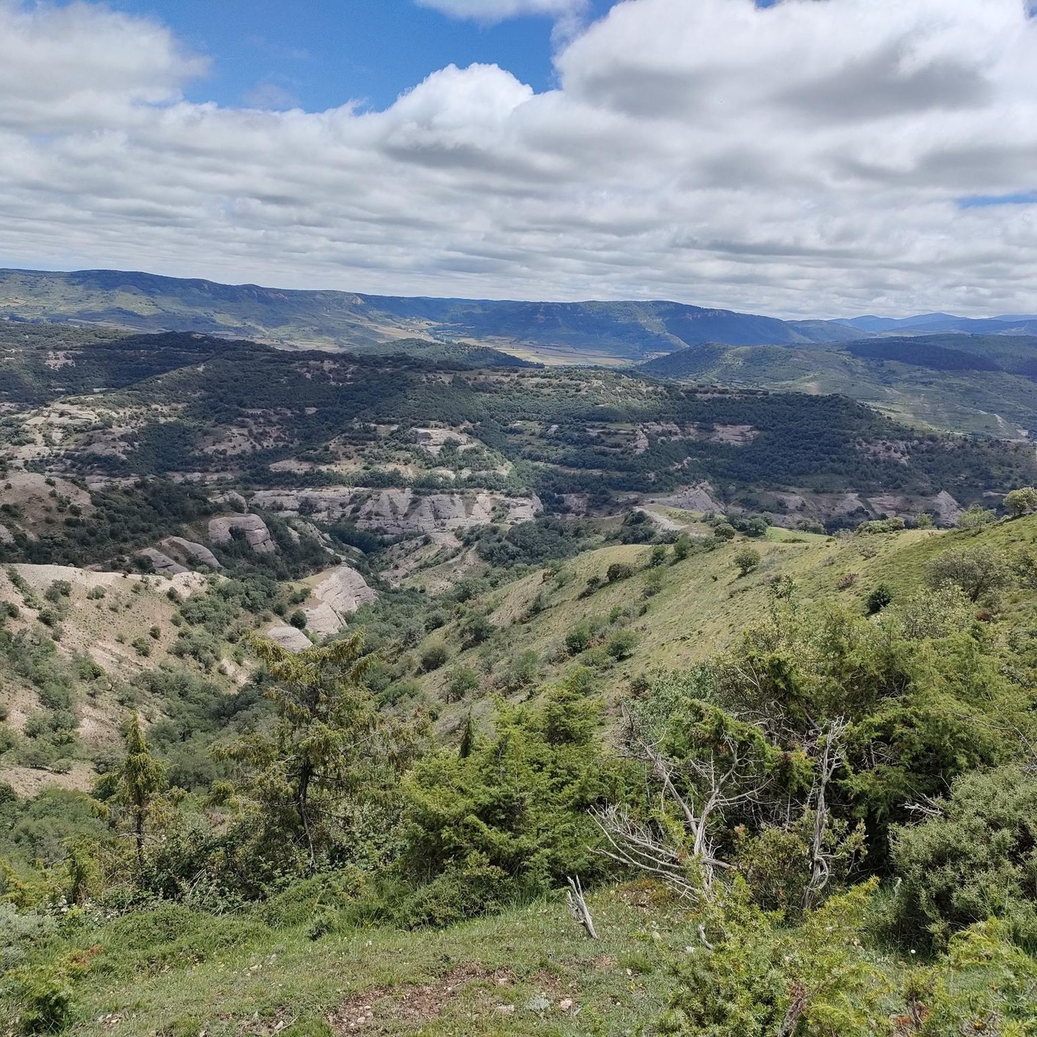
a highly recommended area for hiking.
0
0
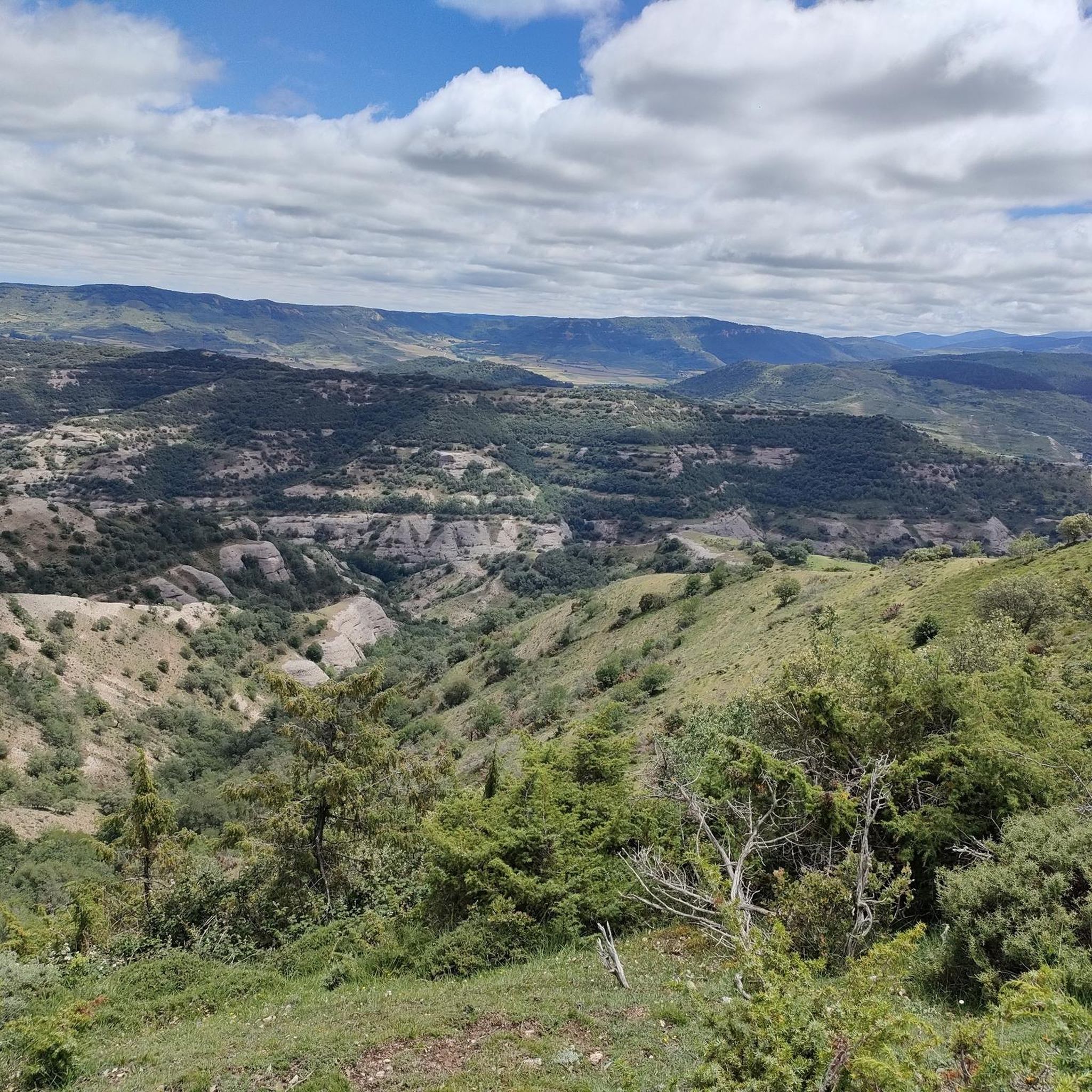
a highly recommended area for hiking.
0
0
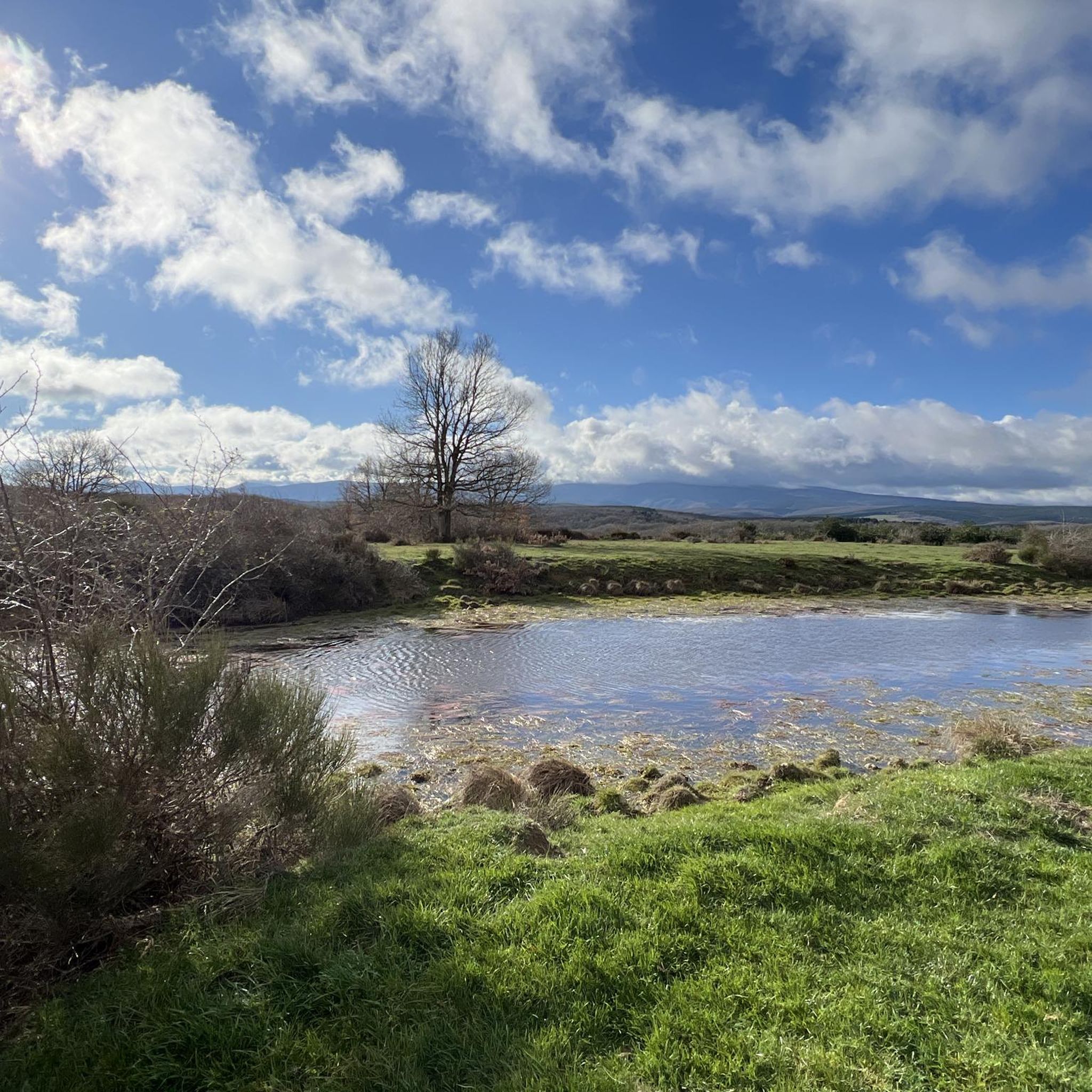
a highly recommended area for hiking.
0
0
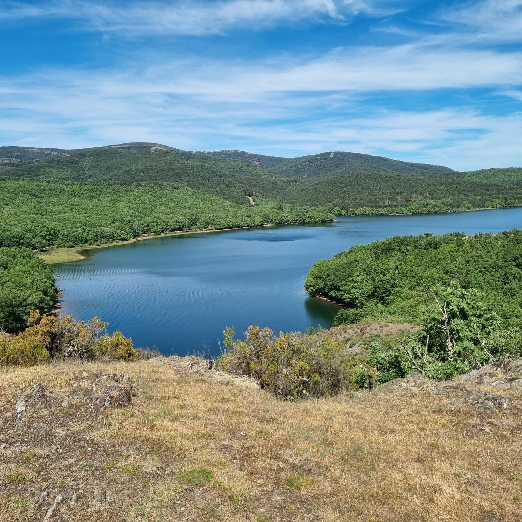
a highly recommended area for hiking.
0
0
a highly recommended area for hiking.
0
1

Every year the little asphalt that remains is worse than the previous one. Large areas of dirt, gravel and potholes. Very dangerous descent.
0
0

The Alto de la Garrula is a halfway point from where the Sendero de las Cascadas leaves and where you can take the direction towards the highest mountains of the Sierra de la Demanda, as is the case with Pico Millán.
0
0
It is one of the waterfalls that are found in this valley and that are part of the Arroyo del Allúzarra, in the upper part of it. The waters come from the high mountains that are flanking the mountains above.
0
0
Frequently Asked Questions
How many hiking trails are available around Valmala?
Valmala offers a wide range of hiking opportunities, with over 40 trails to explore. These routes cater to various skill levels, including 6 easy, 24 moderate, and 13 difficult options.
What kind of landscapes can I expect to see while hiking in Valmala?
Hiking around Valmala immerses you in diverse natural settings. You'll encounter extensive alpine pastures, dense forests—including the notable Bosco dell'Alevè, Italy's largest Swiss pine forest—and mountainous terrain. The region also features connections to the Maira Valley via scenic mountain passes.
Are there any trails that feature waterfalls?
Yes, for those who enjoy scenic water features, the Trail of the Waterfalls is a moderate 4.3-mile route that takes about 2 hours and 29 minutes to complete. Additionally, the Altuzarra Waterfalls are a notable natural highlight in the area.
Are there any circular hiking routes in Valmala?
Yes, Valmala offers several circular routes. A popular choice is the High Route through Covanegra — circular via Garganchon Gorge, a moderate 7.4-mile path that provides a journey through varied high-altitude landscapes. Another option is the challenging Ascent to San Millan and Cabeza Aguilez — circular through the Sierra de la Demanda Natural Space, an 11.5-mile trail through mountainous terrain.
What are some interesting landmarks or attractions to see near the hiking trails?
Beyond the natural beauty, you can explore historical and cultural sites. The Santuario di Valmala is a significant landmark and a starting point for a stage of the Valle Varaita Trek. Close to Colle di Valmala, you can also discover the ancient rock engravings of Monte Roccerè. For natural attractions, consider visiting the Puerto del Manquillo mountain pass or the San Millán (2,131 m) summit.
What do other hikers enjoy most about the trails in Valmala?
The trails in Valmala are highly regarded by the komoot community, holding an average rating of 4.7 stars from over 80 reviews. Hikers frequently praise the diverse terrain, from alpine pastures to dense forests, and the opportunities for both moderate walks and more challenging ascents.
Are there any challenging hikes for experienced trekkers?
Yes, Valmala offers several challenging routes. The Ascent to San Millan and Cabeza Aguilez — circular through the Sierra de la Demanda Natural Space is a difficult 11.5-mile trail that takes nearly 7 hours to complete. Another demanding option is the Enrique Rivero Trail – San Millán (2,131 m) loop from Refugio de Zárcia, covering 9.2 miles with significant elevation gain.
What is the best time of year to go hiking in Valmala?
Valmala's mountainous terrain and alpine pastures suggest that late spring, summer, and early autumn are generally the best times for hiking, offering pleasant weather and accessible trails. During these months, you can fully enjoy the diverse flora and fauna. Winter hiking may be possible on certain routes, but requires appropriate gear and awareness of snow conditions.
Are there any facilities or recreation areas along the trails?
While specific facilities vary by trail, the Zarcia Recreation Area is a highlight in the region, offering a place for rest and enjoyment. The presence of mountain huts (rifugios) like Rifugio Bagnour in the broader Valle Varaita area also indicates potential stops for hikers.
Can I connect to other hiking regions from Valmala?
Absolutely. Valmala is a key point along the extensive Valle Varaita Trek and serves as a gateway to the adjacent Maira Valley via mountain passes. This strategic location allows for longer, multi-stage treks that connect different valleys and offer varied landscapes.
What kind of wildlife might I spot on the trails?
Given the extensive alpine pastures and significant forests like the Bosco dell'Alevè, hikers have the opportunity to spot diverse flora and fauna. Keep an eye out for local wildlife that thrives in mountainous and forested environments, though specific sightings can never be guaranteed.
Most popular attractions around Valmala

Get inspired with the komoot mobile app


Explore more
Browse the best Hikes in other regions.
