The best road cycling routes around Macastre
4.4
(41)
1,584
riders
54
rides
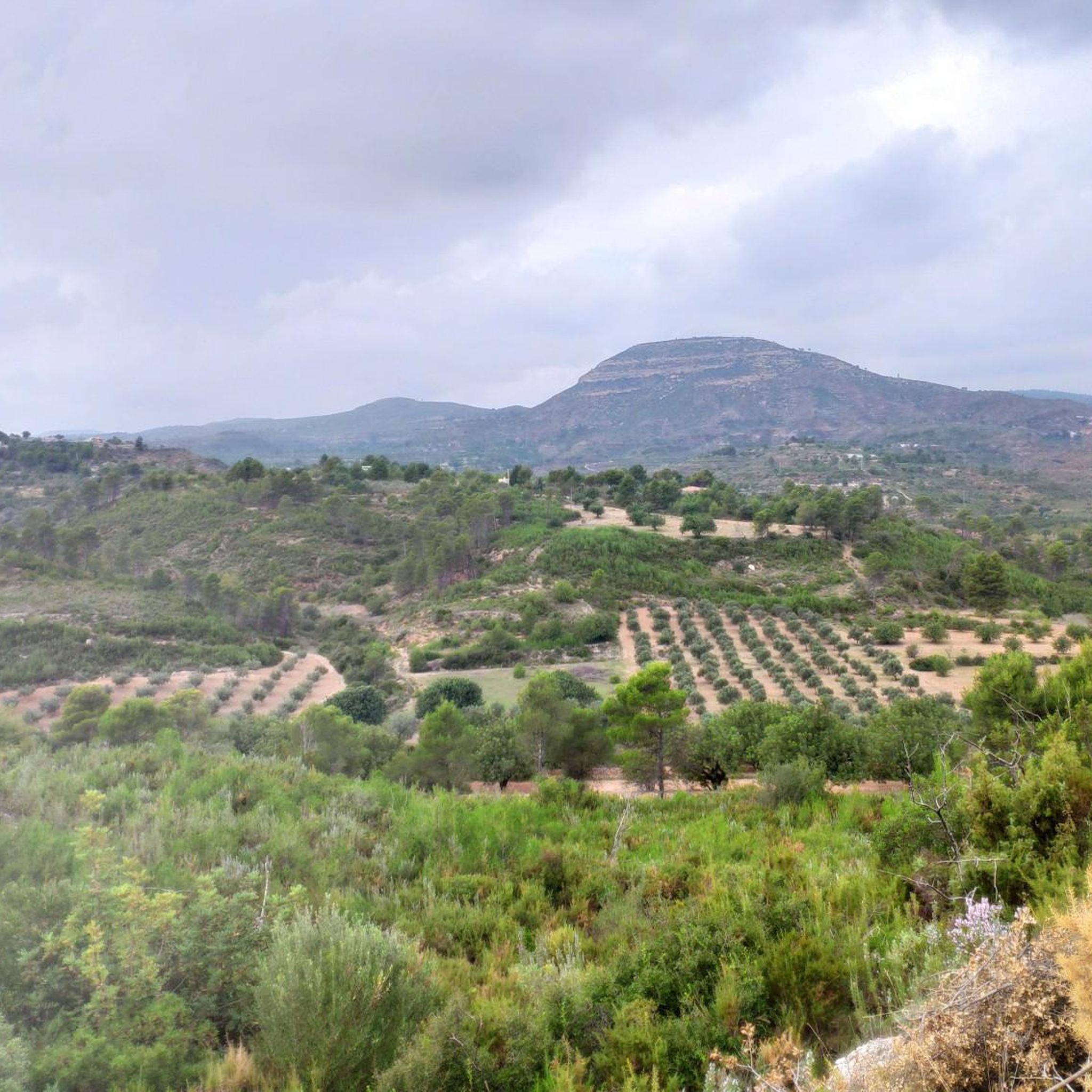
Road cycling around Macastre is characterized by its mountainous terrain, offering a diverse range of routes within the inland province of Valencia. The region features demanding climbs and thrilling descents on well-paved surfaces, set against a backdrop of ranges like the Sierra de Dos Aguas and Sierra de Malacara. Cyclists can expect an undulating landscape with natural elevations that provide both challenging ascents and panoramic vistas. This area is known for its hard road rides, requiring good fitness levels.
Best…
Last updated: July 11, 2026
101
riders
77.4km
04:05
1,260m
1,260m
Hard road ride. Very good fitness required. Mostly well-paved surfaces and easy to ride.
4.8
(5)
61
riders
80.9km
04:03
1,080m
1,080m
Hard road ride. Very good fitness required. Mostly well-paved surfaces and easy to ride.

Sign up for free
5.0
(1)
19
riders
83.5km
04:53
1,850m
1,850m
Hard road ride. Very good fitness required. Mostly well-paved surfaces and easy to ride.
4.0
(1)
229
riders
106km
05:18
1,630m
1,630m
Hard road ride. Very good fitness required. Mostly well-paved surfaces and easy to ride.
5.0
(3)
100
riders
66.6km
03:00
680m
680m
Moderate road ride. Good fitness required. Mostly well-paved surfaces and easy to ride.
Get access to more routes and recommendations from other explorers.
Sign up for free
Already have an account?
Our route recommendations are based on thousands of hikes, rides, and runs completed by other people on komoot.
Start today with a free account
Your next adventure awaits.
Login or Signup
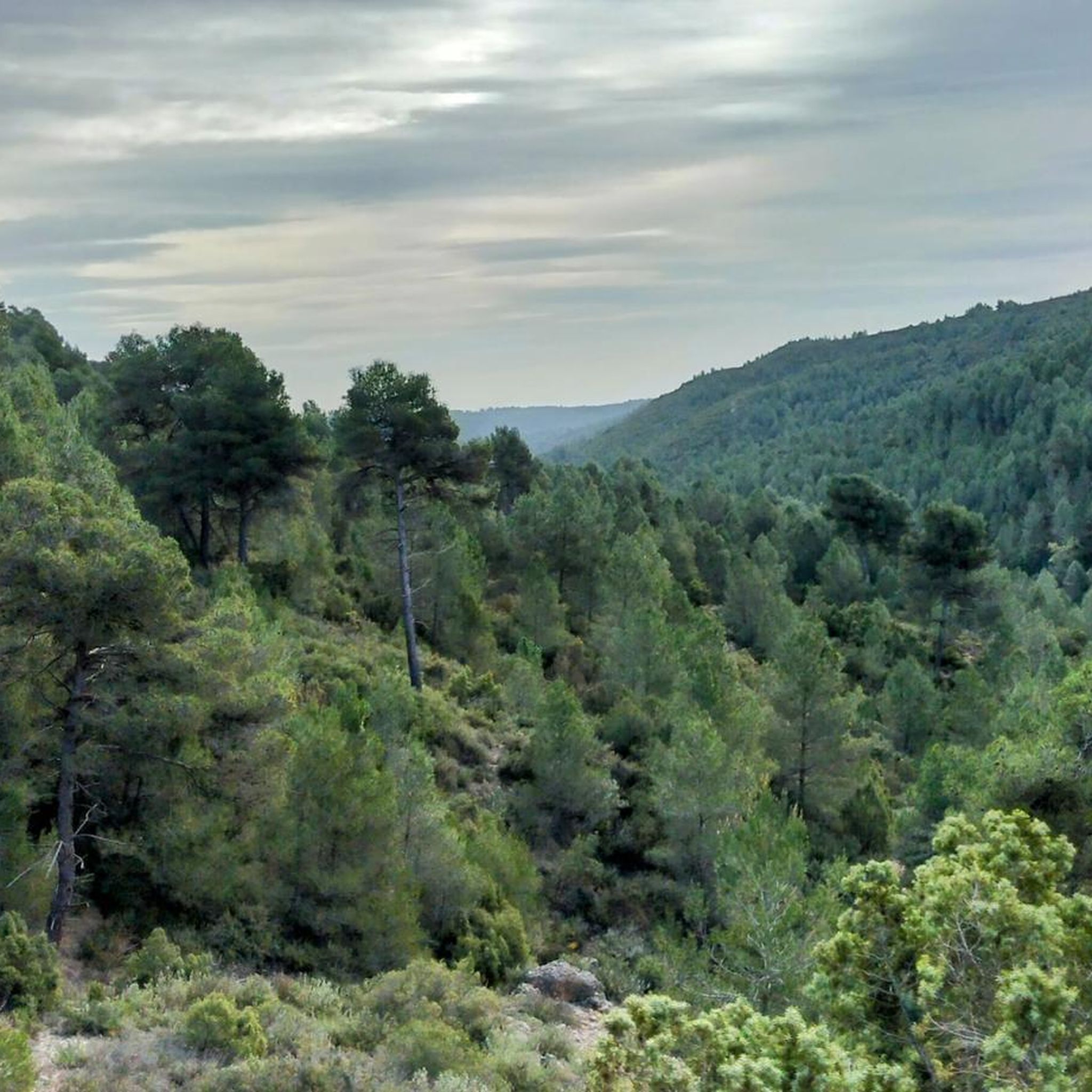
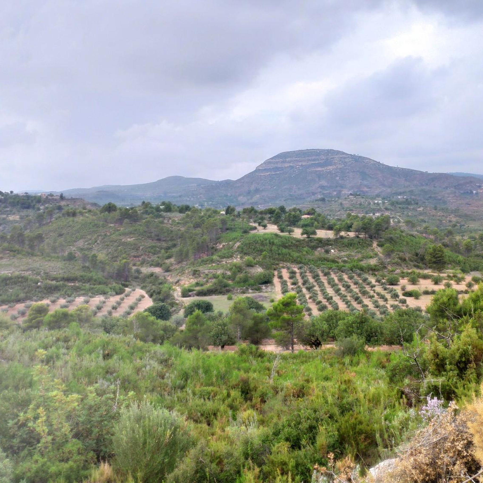
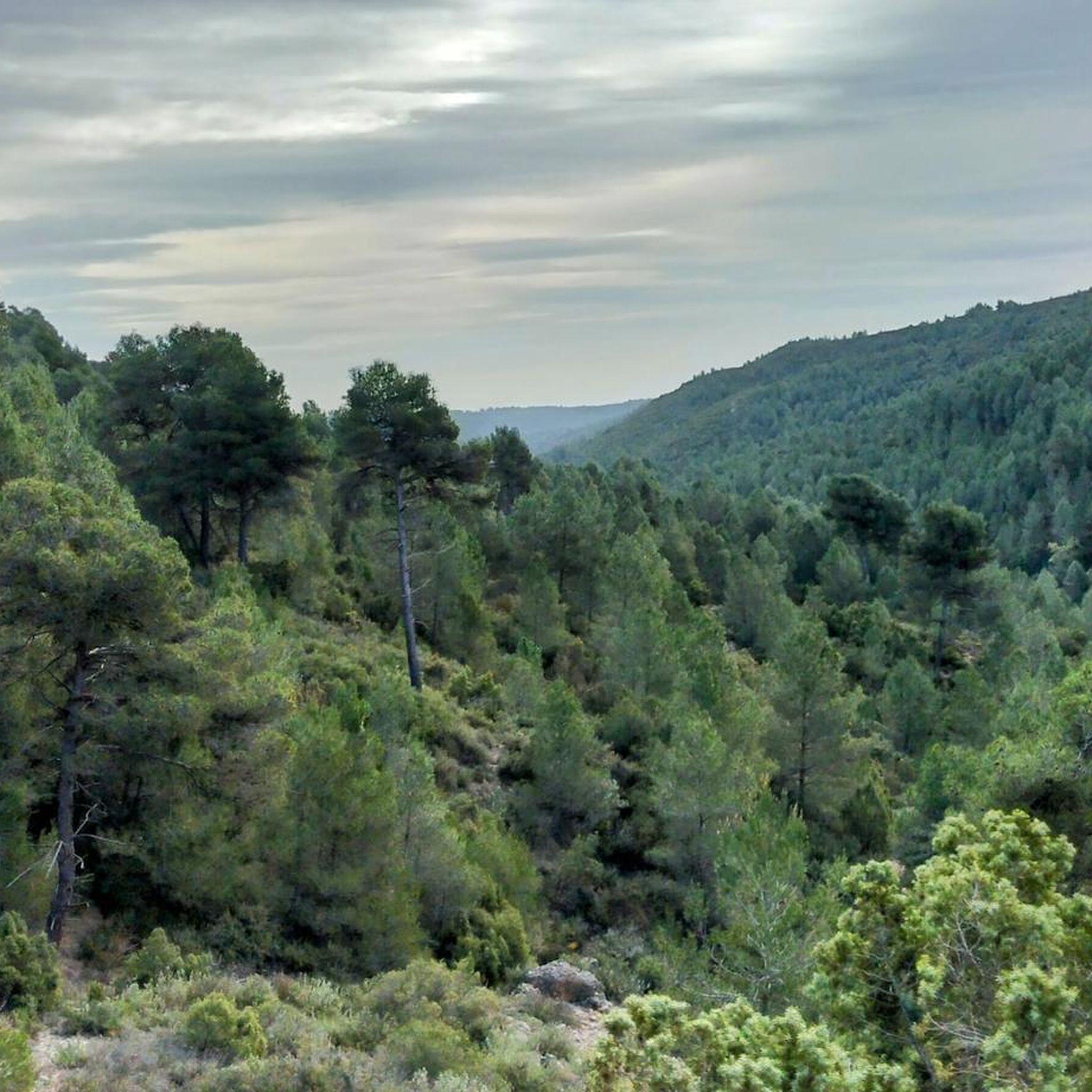
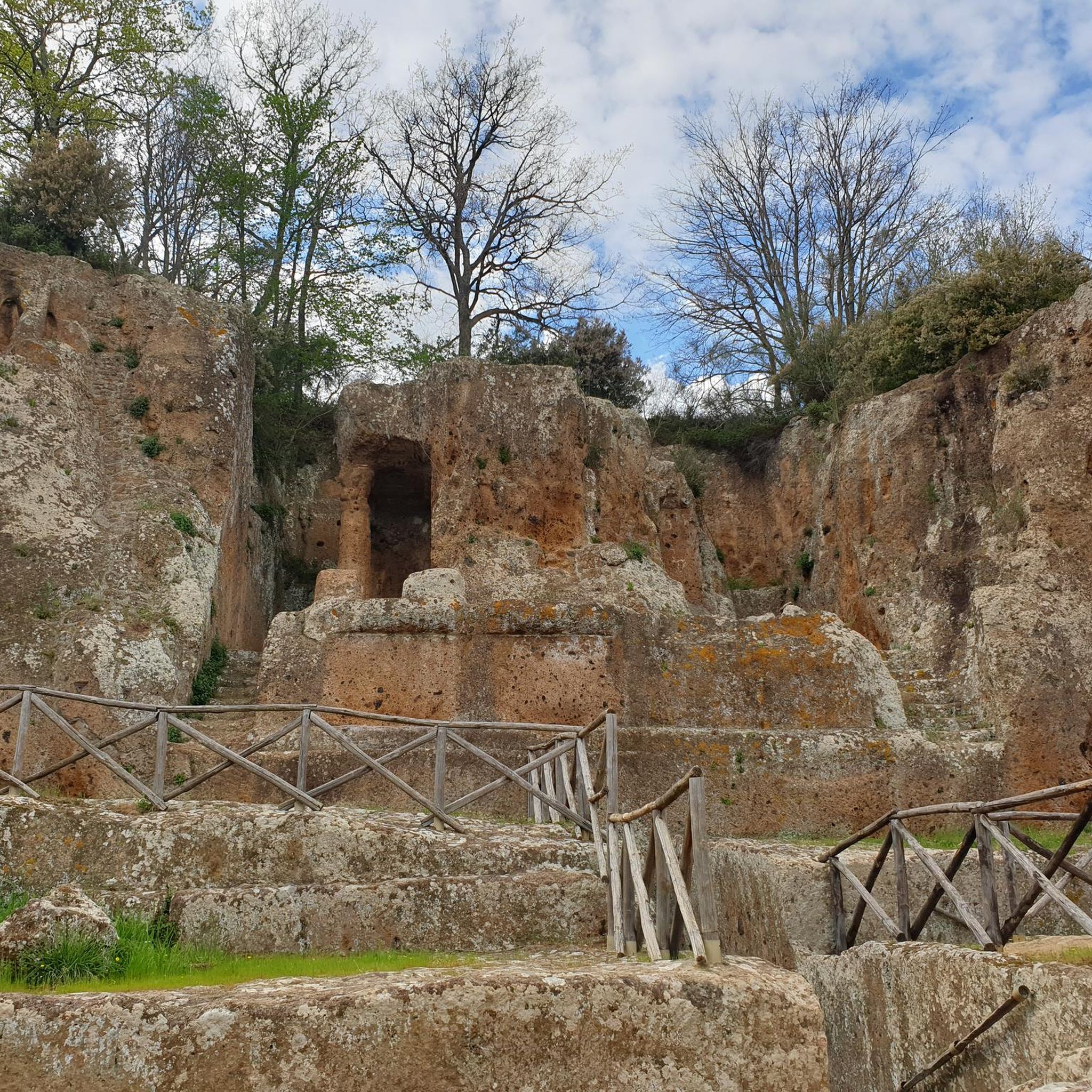
Tips from the Community


The pass begins when crossing the bridge over the Jucar river and ends when entering the town of Millares. It is 4.2 km at 4.3%
0
0
Long mural with two distinct parts, one with characters and the other with a message.
1
0


The Mijares River rises at an altitude of 1,600 m in the Sierra de Gúdar mountain range, part of the Iberian System. The Mijares forms a 4,028 km² valley basin. After 156 km, the river flows into the Mediterranean Sea at Valencia.
0
0
Tremendous views of the area. It's worth climbing
1
0
The Fuente Real port (adding the section of the Balcòn de Montroy port) is 10km at 4.4%, with a couple of kms in each section above 5% (reaching 7% in some areas) and the rest calmer.
1
0
5.63 km (from the Toris to Llombai highway) at 4.5% average) works well as an aperitif (and initial part) of Puerto de Fuente Real.
1
0
Frequently Asked Questions
How many road cycling routes are available around Macastre?
Macastre offers a wide variety of road cycling routes, with over 60 options available. These include 2 easy routes, 33 moderate routes, and 28 difficult routes, catering to different fitness levels and preferences.
What kind of terrain can I expect when road cycling in Macastre?
Road cycling around Macastre is characterized by its mountainous terrain, featuring demanding climbs and thrilling descents on generally well-paved surfaces. You'll encounter an undulating landscape with natural elevations, providing both challenging ascents and panoramic vistas, especially around ranges like the Sierra de Dos Aguas and Sierra de Malacara.
Are there any easy or family-friendly road cycling routes in Macastre?
While Macastre is known for its challenging rides, there are 2 easy road cycling routes available. These routes offer a less strenuous experience, though specific family-friendly amenities or traffic-free paths would need to be checked for individual routes.
What are some challenging climbs or routes for experienced road cyclists?
For experienced road cyclists seeking a challenge, Macastre offers 28 difficult routes. A notable example is From Dos Aguas to Quesa via Puerto de Millares, which covers 51.9 miles (83.5 km) and features significant elevation changes through mountainous landscapes and the Puerto de Millares. Another demanding option is Circular route from Buñol crossing the Mijares River, a 50.2-mile (80.9 km) path with substantial climbs and descents.
Where can I find scenic viewpoints along road cycling routes in Macastre?
The mountainous terrain around Macastre naturally offers many scenic viewpoints. The 'Los Vientos Viewing Point' in Macastre itself provides expansive views. Routes traversing the Sierra del Castellet, Sierra del Ave, Sierra de La Cabrera, and Montes de Malacara will also reward you with panoramic vistas of the surrounding region.
Are there any natural attractions or landmarks to see while cycling near Macastre?
Yes, several natural attractions and landmarks can be explored. You might encounter water features like the Turche Cave Waterfall, the Beautiful pool on the Juanes River, or Mañán Pool. The historic Macastre Castle also offers a cultural point of interest. For a route that includes a waterfall, consider the Charca / Cueva del Turche – Mijares River loop from Buñol.
What is the best season for road cycling in Macastre?
The Valencian Community, where Macastre is located, generally offers favorable conditions for cycling for much of the year. Spring and autumn typically provide the most pleasant temperatures for road cycling, avoiding the intense heat of summer and the cooler, potentially wetter conditions of winter. Always check local weather forecasts before heading out.
Are there options for parking when starting a road cycling route in Macastre?
While specific parking areas for cyclists are not detailed, Macastre is a rural town, and parking is generally available. It's advisable to look for public parking in the town center or near the start points of your chosen routes. Many routes, like those starting from Buñol, will have parking options in the nearby towns.
Can I find bike-friendly cafes or places to stop along the routes?
Macastre and the surrounding towns like Buñol, Dos Aguas, and Montroy offer local cafes and bars where cyclists can stop for refreshments. These establishments are often accustomed to serving outdoor enthusiasts. Planning your route to pass through these towns will ensure opportunities for breaks.
What do other cyclists say about road cycling in Macastre?
The road cycling routes in Macastre are highly rated by the komoot community, with an average score of 4.3 stars from over 30 reviews. More than 1,700 road cyclists have used komoot to explore Macastre's varied terrain, often praising the challenging climbs, scenic beauty, and well-paved surfaces.
Are there any specific mountain passes I'll encounter while cycling?
Yes, the region around Macastre features several notable mountain passes that are integral to its challenging road cycling experience. You might encounter passes such as Puerto de Millares, Dos Aguas Pass, and Balcón de Montroy Pass, which offer significant climbs and rewarding descents.
Are there any circular road cycling routes available?
Many of the road cycling routes around Macastre are designed as circular loops, allowing you to start and finish in the same location. For example, The Embalse de Forata - Circular from Buñol is a popular 48.1-mile (77.4 km) loop that explores the area around the reservoir.
What should I bring for road cycling in Macastre?
Given the demanding climbs and varied terrain, it's essential to bring appropriate gear. This includes a well-maintained road bike, helmet, sufficient water and nutrition, repair kit, and suitable cycling apparel for the weather conditions. Due to the significant elevation changes, good fitness is also recommended.
Are there any routes that feature water bodies or reservoirs?
Yes, several routes incorporate water features. The The Embalse de Forata - Circular from Buñol route, for instance, takes you around the Embalse de Forata reservoir. You can also find natural springs like the 'Grande Fountain' and other fountains that offer refreshing stops along various paths.
Most popular attractions around Macastre

Get inspired with the komoot mobile app


Explore more
Browse the best Road cycling routes in other regions.
