The best road cycling routes around Cebreros
3.7
(25)
2,752
riders
102
rides
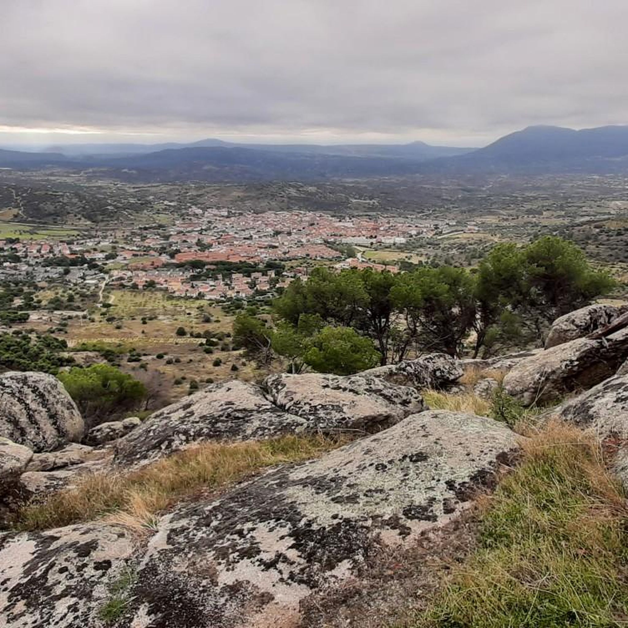
Road cycling routes around Cebreros traverse a landscape characterized by significant elevation changes, offering challenging climbs and descents. The region features a mix of pine forests, open countryside, and routes that pass near reservoirs such as Embalse de San Juan and El Burguillo. Mountain passes like Puerto de Arrebatacapas and Puerto de Navalmoral are notable features, providing varied terrain for road cyclists.
Best road cycling routes around Cebreros
- The most popular road cycling route is Embalse de San Juan y…
Last updated: October 8, 2026
30
riders
Hard road ride. Very good fitness required. Mostly well-paved surfaces and easy to ride.
17
riders
73.8km
03:50
1,290m
1,290m
Hard road ride. Very good fitness required. Mostly well-paved surfaces and easy to ride.

77
riders
110km
05:33
1,790m
1,790m
Hard road ride. Very good fitness required. Mostly well-paved surfaces and easy to ride.
58
riders
71.7km
03:19
880m
880m
Moderate road ride. Good fitness required. Mostly well-paved surfaces and easy to ride.
41
riders
63.6km
03:15
1,110m
1,110m
Hard road ride. Very good fitness required. Mostly well-paved surfaces and easy to ride.
Get access to more routes and recommendations from other explorers.
Already have an account?
Our route recommendations are based on thousands of hikes, rides, and runs completed by other people on komoot.
Start today with a free account
Your next adventure awaits.

Other adventures around Cebreros

Tips from the Community

Los Toros de Guisando are a set of zoomorphic sculptures of Vettonian origin, carved in granite between the 4th and 2nd centuries BC. They probably represent bulls or verracos and were linked to rituals for the protection of livestock and the delimitation of territory.
0
0

Beautiful road alongside the reservoir, very quiet. It has no paved exit.
0
0

It's an open pass in the inhospitable landscape typical of this area. It's highly recommended because it offers easy connections to other passes such as Serranillos and Mijares.
0
0

A relatively simple port, with good asphalt and road visibility, moderate (average 5%) and constant gradients. It can be tricky on a windy day.
0
0

The Alcázar Gate is one of the most impressive entrances to the Ávila wall. Located to the east of the walled area, it is distinguished by its two large towers, each over 20 meters high, connected by a semicircular arch. This gate was one of the first to be built, along with the San Vicente Gate, and retains its Romanesque style.
5
0

Perhaps the most beautiful gate of all those in the wall.
2
1
One of the most visited areas of the walls.
4
0

The cycle trip continues along the lane of the Jacobean route until it connects with the Cebreros highway. The route continues along the side of the road, passing through the popular port of Arrebatacapas and another descent to Cebreros, a mountain town with a wine-growing tradition that would be a good place to finish the second stage when organized as a three-day trip. The Camino de Levante descends from the port along a mountain path that is quite technical and difficult by bicycle, suitable for trail experts and everyone can choose. The path begins next to the port sign and ends where the road enters the urban complex. The track goes down the road, crosses the town and continues the descent along the old Camino Real de Toledo, used by the funeral procession of Isabel la Católica when they carried her remains from Medina del Campo to Granada. At the Cebreros exit there are remains of the old medieval road and on the Alberche River there are the monumental bridges of Valsordo and Santa Yusta, used since Roman times, although they have undergone several reconstructions throughout history. The climb coincides with the last arrows of the Camino de Levante and deviates through the Puente Nuevo urbanization towards San Martín de Valdeiglesias, following the markings of the GR-10 long-distance path, with several hard ramps on the Camino de la Aliseda.
0
0
Frequently Asked Questions
How many road cycling routes are available around Cebreros?
Cebreros offers a wide selection of road cycling routes, with over 80 options available. These routes cater to various skill levels, including easy, moderate, and difficult trails.
What is the general difficulty level of road cycling in Cebreros?
Road cycling in Cebreros is characterized by significant elevation changes, including challenging climbs and descents. The region features a mix of moderate and difficult routes, with 44 difficult and 37 moderate routes, alongside a few easier options.
Are there any easy road cycling routes suitable for beginners in Cebreros?
While many routes in Cebreros feature significant elevation, there are 6 easy road cycling routes available. These provide a good starting point for those new to road cycling in the area or looking for a less strenuous ride.
What kind of terrain can I expect on road cycling routes around Cebreros?
The terrain around Cebreros is diverse, featuring pine forests, open countryside, and routes that pass near reservoirs like Embalse de San Juan and El Burguillo. You'll also encounter mountain passes such as Puerto de Arrebatacapas and Puerto de Navalmoral, offering varied and often challenging landscapes.
Are there any long-distance road cycling routes in Cebreros?
Yes, Cebreros offers several long-distance routes. For example, the Puerto de Arrebatacapas – Puerto de Navalmoral loop from Cebreros is a challenging 65.2-mile (104.9 km) trail that takes you through mountain passes.
What are some scenic highlights or attractions along the road cycling routes?
Many routes pass by beautiful natural and man-made attractions. You can cycle near the Picadas Reservoir or the El Burguillo Reservoir. Other points of interest in the wider area include the Navahonda Hermitage and the unique Madrid Deep Space Communications Complex.
Are there circular road cycling routes available in Cebreros?
Yes, many routes in Cebreros are designed as circular loops. A popular option is the Embalse de San Juan y Estación de Cebreros (DSA 2) — circular desde Cebreros, which is 40.4 miles (65.0 km) and circles the reservoir.
What do other road cyclists say about the routes in Cebreros?
The road cycling routes in Cebreros are highly rated by the komoot community, with an average score of 3.5 stars from more than 10 reviews. Cyclists often praise the challenging mountain passes, scenic reservoirs, and the diverse stretches through pine forests.
Which route offers a good balance of challenge and scenic beauty around reservoirs?
The El Burguillo Reservoir – Burguillo Reservoir loop from La Chorreta is a moderate 71.8 km (44.6 miles) route that offers beautiful views of the reservoir and a good challenge without being overly difficult.
Are there routes that explore the pine forests of the region?
Absolutely. The Navalperal de Pinares y Hoyo de Pinares — circular desde Cebreros is a difficult 45.8-mile (73.8 km) route that leads through areas rich in pine forests and includes significant climbs.
What is the best time of year for road cycling in Cebreros?
Given the significant elevation changes and potential for heat, spring and autumn generally offer the most pleasant conditions for road cycling in Cebreros. Summer can be quite warm, especially on exposed sections, while winter may bring colder temperatures to the mountain passes.
Are there any routes that feature notable climbs?
Many routes in Cebreros are known for their challenging climbs. The Puerto de Arrebatacapas – Puerto de Navalmoral loop from Cebreros, for instance, includes substantial ascents over mountain passes, making it a favorite for those seeking a demanding ride.
Most popular attractions around Cebreros

Get inspired with the komoot mobile app


Explore more
Browse the best Road cycling routes in other regions.
