The best running trails around Torremocha De Jarama
4.5
(4)
956
runners
72
runs
Jogging routes around Torremocha de Jarama offer diverse terrain within the Sierra Norte region of Madrid. The area features the Jarama River basin, providing scenic riverside running opportunities. Joggers can experience varied elevations due to the mountainous Sierra Norte, alongside picturesque routes around the Embalse del Atazar reservoir and the Patones Gorge. This landscape provides options for both casual jogs and more challenging trail running.
Best jogging routes around Torremocha De Jarama
- The most popular jogging route is Cancho de…
Last updated: July 1, 2026
101
runners
21.5km
03:09
950m
950m
Hard run. Very good fitness required. Sure-footedness, sturdy shoes and alpine experience required.
29
runners
18.4km
02:42
740m
740m
Hard run. Very good fitness required. Sure-footedness, sturdy shoes and alpine experience required.

Sign up for free
17
runners
9.91km
01:09
50m
50m
Moderate run. Good fitness required. Mostly paved surfaces. Suitable for all skill levels.
20
runners
27.0km
03:40
970m
970m
Hard run. Very good fitness required. Sure-footedness, sturdy shoes and alpine experience required.
47
runners
Hard run. Very good fitness required. Sure-footedness, sturdy shoes and alpine experience required.
Get access to more routes and recommendations from other explorers.
Sign up for free
Already have an account?
Our route recommendations are based on thousands of hikes, rides, and runs completed by other people on komoot.
Start today with a free account
Your next adventure awaits.
Login or Signup
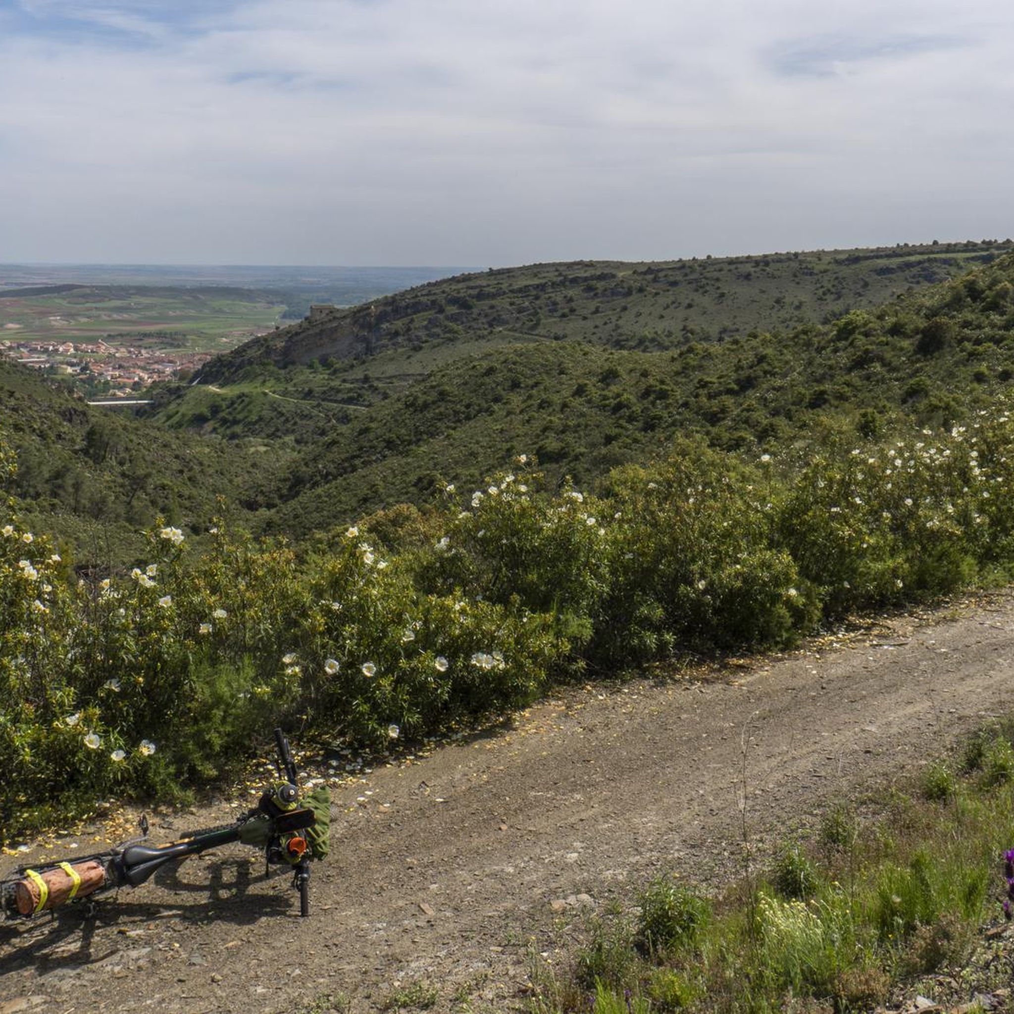
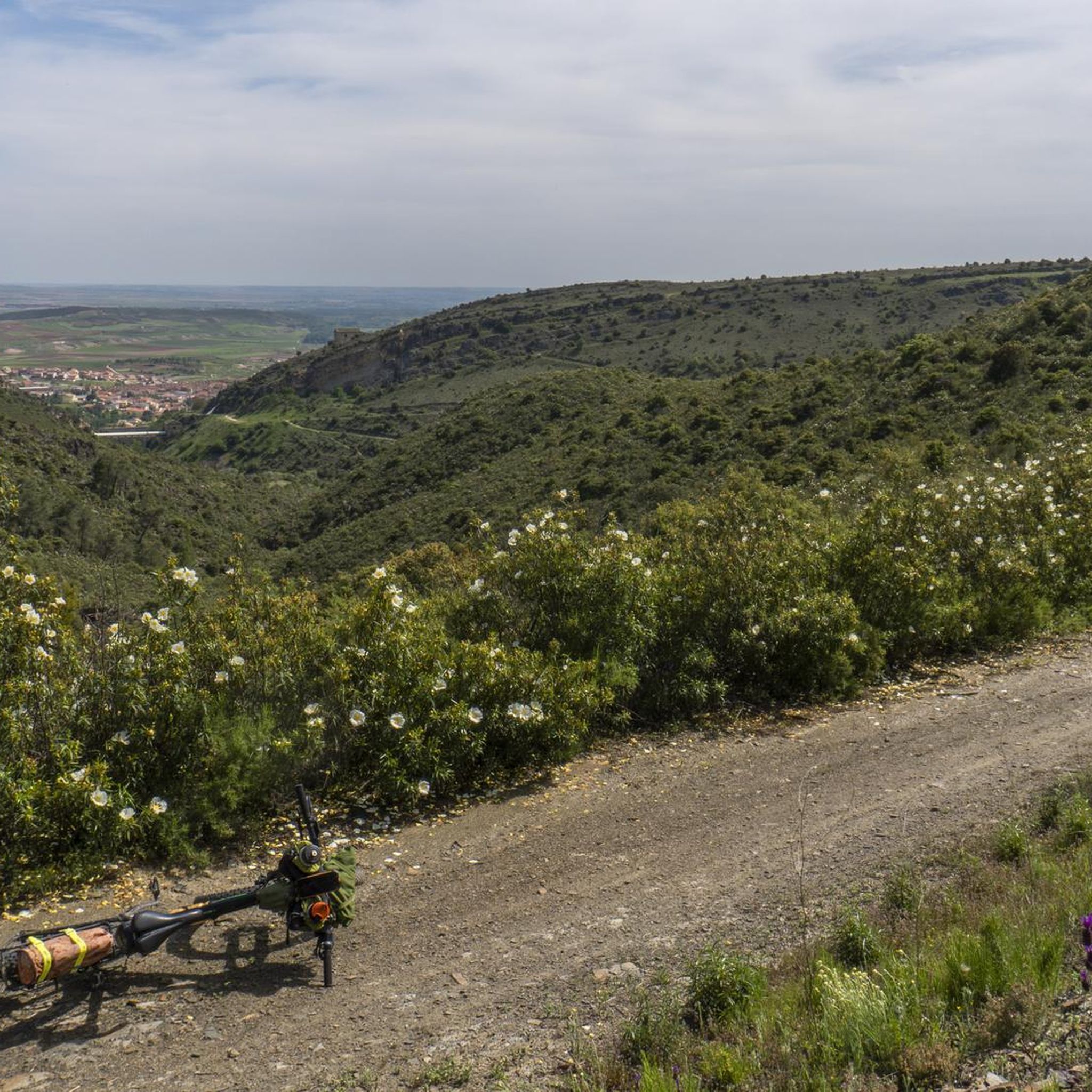
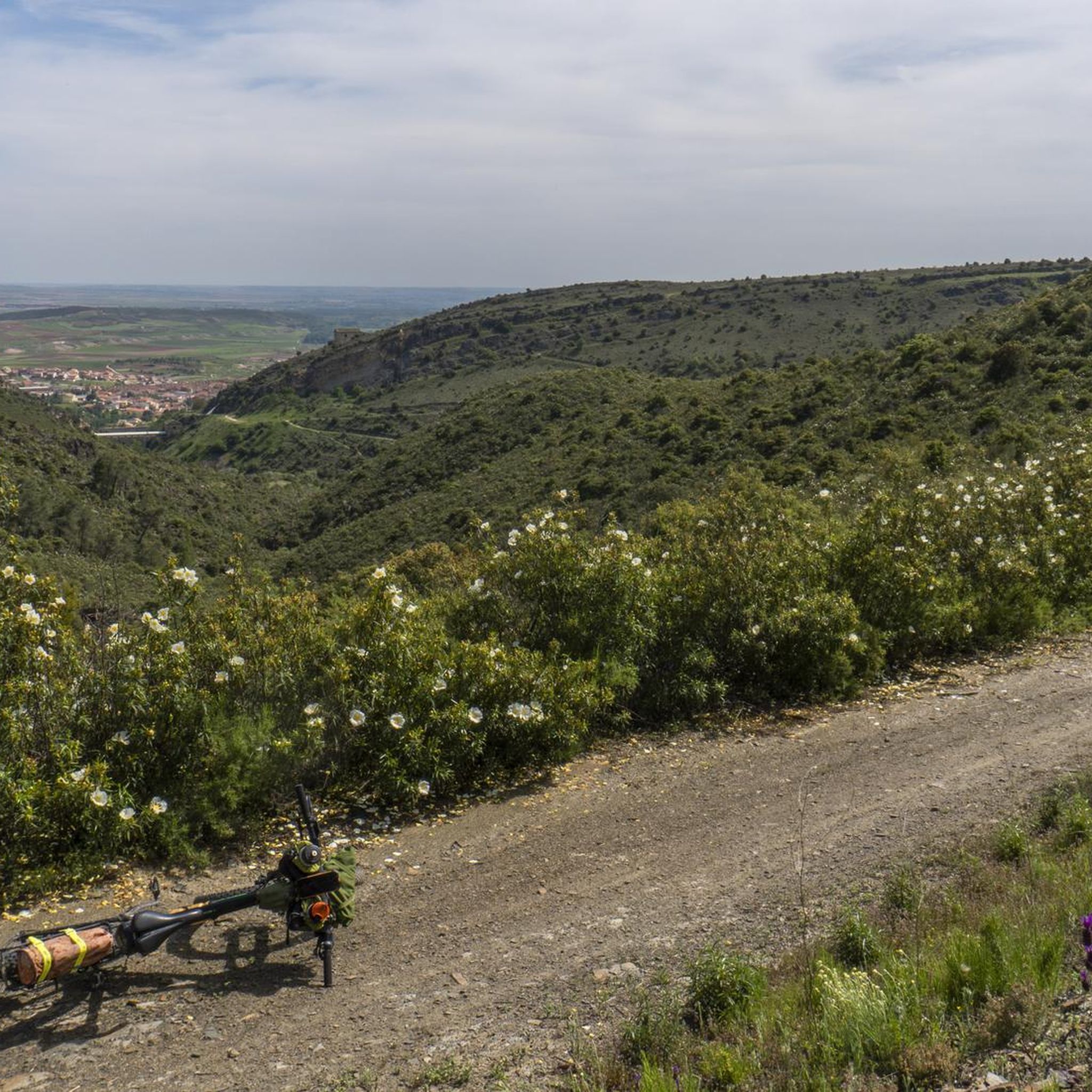
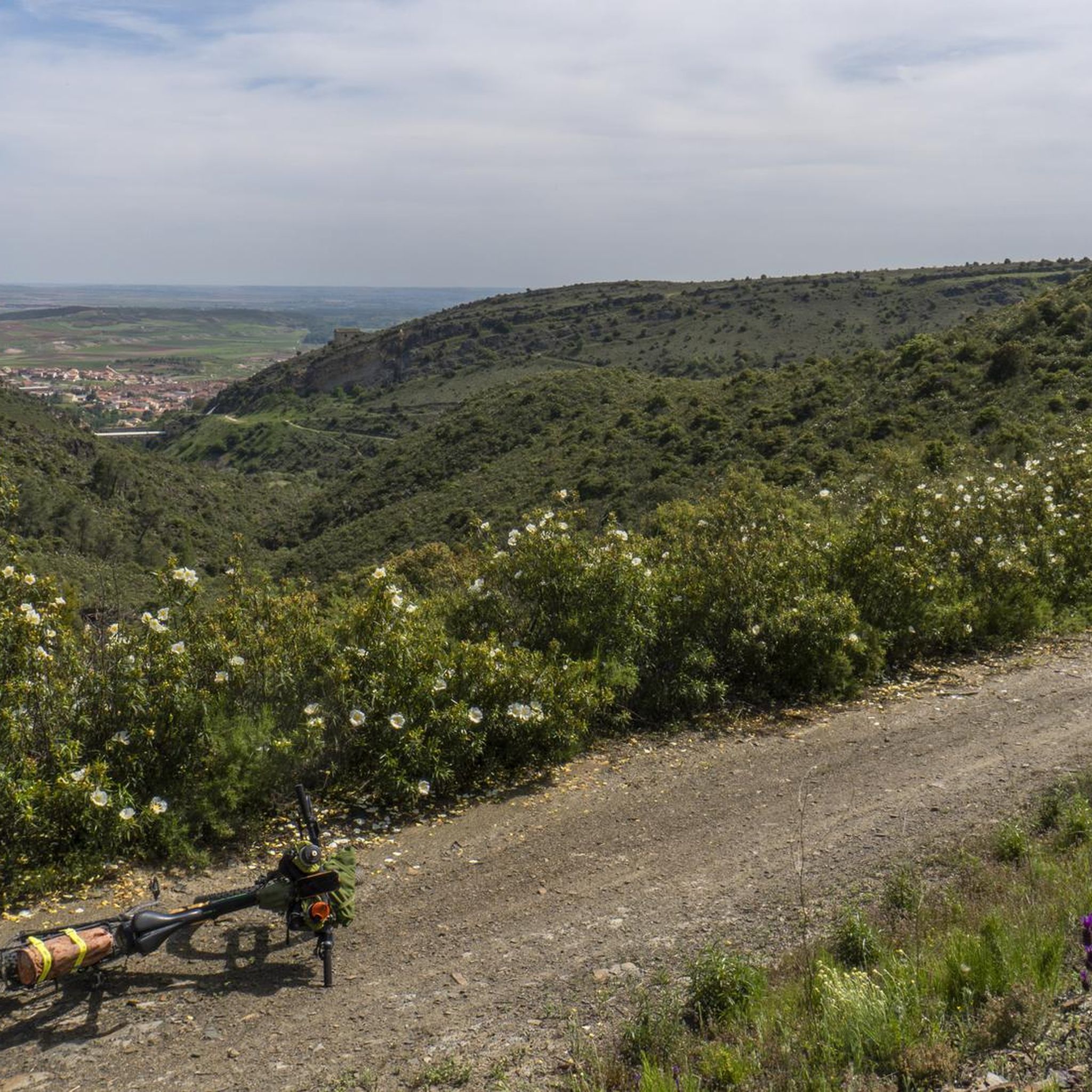

Tips from the Community

start from the dam
1
0

Beautiful place where people go for a walk or to climb.
1
0

The Pontón de la Oliva is a Spanish dam located in the Ayllón mountain range, northeast of the Community of Madrid and northwest of the province of Guadalajara. It was built in 1857 and is currently disused. This dam is the sixth and last in the course of the Lozoya River, and is the oldest of the entire system of dams and canalizations of the Canal de Isabel II. This canal supplies drinking water to Madrid and a large part of the community. The height of the Pontón de la Oliva Dam is approximately 30 meters. If you are interested in exploring the area, there are routes that take you to the Cárcavas de Pontón de la Oliva, a curious geological formation in the Community of Madrid. In addition, you can enjoy a route along the Pontón de la Oliva to the Lozoya River, which offers impressive views. I hope you find this information interesting! 😊
4
0

Spectacular views, generally good climb with some demanding sections before crossing the firebreak. the rest, quite bearable
1
0
Cancho de la Cabeza, the highest peak in the municipality of Patones, rises majestically in the Sierra Norte region of Madrid. This beautiful natural viewpoint offers panoramic views of the El Atazar reservoir and, in the background, you can see the Peña de la Cabra, one of the numerous peaks of the Ayllón mountain range.
2
0
Cancho de la Cabeza, the highest peak in the municipality of Patones, rises majestically in the Sierra Norte region of Madrid. This beautiful natural viewpoint offers panoramic views of the El Atazar reservoir and, in the background, you can see the Peña de la Cabra, one of the numerous peaks of the Ayllón mountain range. Remember that Patones de Arriba is a small “kingdom” near Madrid, full of charm and tradition. Enjoy the natural beauty and stunning views that Cancho de la Cabeza offers! 🏞️🌄
1
0
Do not confuse Patones de Arriba, the town of black architecture that lives off tourism, with Patones de Abajo. The latter was founded after the Spanish Civil War, and most of the Patoneros moved there. Although Patones de Arriba is practically uninhabited today, some older people still cling to their roots. Before visiting Patones de Arriba, keep in mind that parking there is complicated, so I recommend leaving your car in the Patones de Abajo parking lot.
1
1

Be careful with parking tickets. I won't go back there again. You are warned.
1
1
Frequently Asked Questions
How many running routes are available around Torremocha de Jarama?
There are over 70 running routes around Torremocha de Jarama, offering a wide variety of options for different fitness levels and preferences. These routes are highly rated by the komoot community, with an average score of 4.3 stars.
What kind of terrain can I expect on the running trails in Torremocha de Jarama?
The terrain around Torremocha de Jarama is quite diverse, ranging from scenic riverside paths along the Jarama River basin to more challenging, varied elevations within the Sierra Norte. You'll find routes winding through picturesque areas around the Embalse del Atazar reservoir and the unique Patones Gorge, offering a mix of surfaces from dirt trails to rocky paths.
Are there any easy or beginner-friendly running routes in the area?
Yes, Torremocha de Jarama offers several easier routes suitable for beginners or those looking for a relaxed jog. For instance, there are 4 easy routes available. While specific easy routes aren't detailed here, you can find options that stick to flatter terrain, especially along the river basin, which are less demanding.
Can I find long-distance running trails for more challenging workouts?
Absolutely. For those seeking a challenge, there are 40 difficult routes and 27 moderate routes. An example of a longer, more demanding route is the Patones de Arriba – Cancho de la Cabeza Summit loop from Patones de Abajo, which spans 25.9 km and offers significant elevation changes.
What natural features or landmarks can I see while running in Torremocha de Jarama?
The region is rich in natural beauty and historical landmarks. You can enjoy views of the El Atazar Reservoir, explore the unique geology of the El Villar Reservoir and Gorge, or even reach the Cancho de la Cabeza Summit for panoramic views. The historic Pontón de la Oliva Dam also offers interesting sights along its cliffside pathways.
Are there any running routes that offer great viewpoints?
Many routes in the area provide spectacular views. For instance, the Cancho de la Cabeza Summit – Patones de Arriba loop from Patones de Abajo offers panoramic views of the El Atazar reservoir and the Sierra de Ayllón. Other viewpoints like View of El Atazar Reservoir and Viewpoint of El Atazar Dam and Village are also accessible.
Are the running trails around Torremocha de Jarama suitable for families?
While the guide highlights many challenging routes, the diverse network of trails includes easier paths suitable for families. Look for routes with less elevation gain and shorter distances, particularly those along the Jarama River basin, which tend to be flatter and more accessible for a family jog.
Can I bring my dog on the running trails?
Generally, many outdoor trails in Spain are dog-friendly, especially in natural areas like the Sierra Norte. However, it's always advisable to check local regulations for specific routes or protected areas. Keep your dog on a leash and ensure you clean up after them to maintain the natural environment.
What is the best time of year to go running in Torremocha de Jarama?
The Sierra Norte region, including Torremocha de Jarama, offers pleasant running conditions for much of the year. Spring and autumn are particularly ideal, with mild temperatures and vibrant landscapes. Summers can be hot, so early morning or late evening runs are recommended. Winters are generally mild, but higher elevations might experience colder temperatures.
Are there any circular running routes available?
Yes, many of the routes around Torremocha de Jarama are designed as loops, allowing you to start and finish in the same location. An example is the Running loop from Torremocha de Jarama, which is a moderate 9.9 km trail.
Where can I find parking for the running trails?
Parking availability varies by trailhead. For routes starting from villages like Torremocha de Jarama or Patones de Abajo, you can often find public parking areas. It's recommended to check specific route details or local village information for the most convenient parking options before your run.
What do other runners enjoy most about jogging in Torremocha de Jarama?
The area is highly rated by the komoot community, with an average score of 4.3 stars. Reviewers often praise the diverse landscapes, from the serene Jarama River basin to the challenging mountainous terrain of the Sierra Norte, and the stunning panoramic views, especially around the El Atazar reservoir.
Most popular routes around Torremocha De Jarama
Most popular attractions around Torremocha De Jarama

Get inspired with the komoot mobile app


Explore more
Browse the best Running Trails & Routes in other regions.
