The best walks and hikes around Otero De Herreros
4.7
(591)
3,222
hikers
134
hikes
Hiking around Otero De Herreros offers access to diverse landscapes within the Segovia province, characterized by rolling hills and open spaces. The region is situated near the Sierra de Guadarrama, featuring granite rock formations, extensive pine forests, and high mountain grasslands. Streams are present throughout the area, providing varied terrain for outdoor exploration.
Best hiking trails around Otero De Herreros
- The most popular hiking route is Risca del Río Moros y Embalse de los Ángeles — circular desde Matute,…
Last updated: October 14, 2026
4.5
(2)
7
hikers
10.3km
02:47
150m
150m
Moderate hike. Good fitness required. Easily-accessible paths. Suitable for all skill levels.
4.4
(7)
27
hikers
Moderate hike. Good fitness required. Mostly accessible paths. Sure-footedness required.

4.4
(10)
34
hikers
16.7km
06:44
1,010m
1,010m
Hard hike. Very good fitness required. Mostly accessible paths. Sure-footedness required.
4.0
(4)
12
hikers
8.80km
02:23
120m
120m
Moderate hike. Good fitness required. Easily-accessible paths. Suitable for all skill levels.
4.3
(3)
13
hikers
13.6km
03:48
260m
260m
Moderate hike. Good fitness required. Easily-accessible paths. Suitable for all skill levels.
Get access to more routes and recommendations from other explorers.
Already have an account?
Our route recommendations are based on thousands of hikes, rides, and runs completed by other people on komoot.
Start today with a free account
Your next adventure awaits.
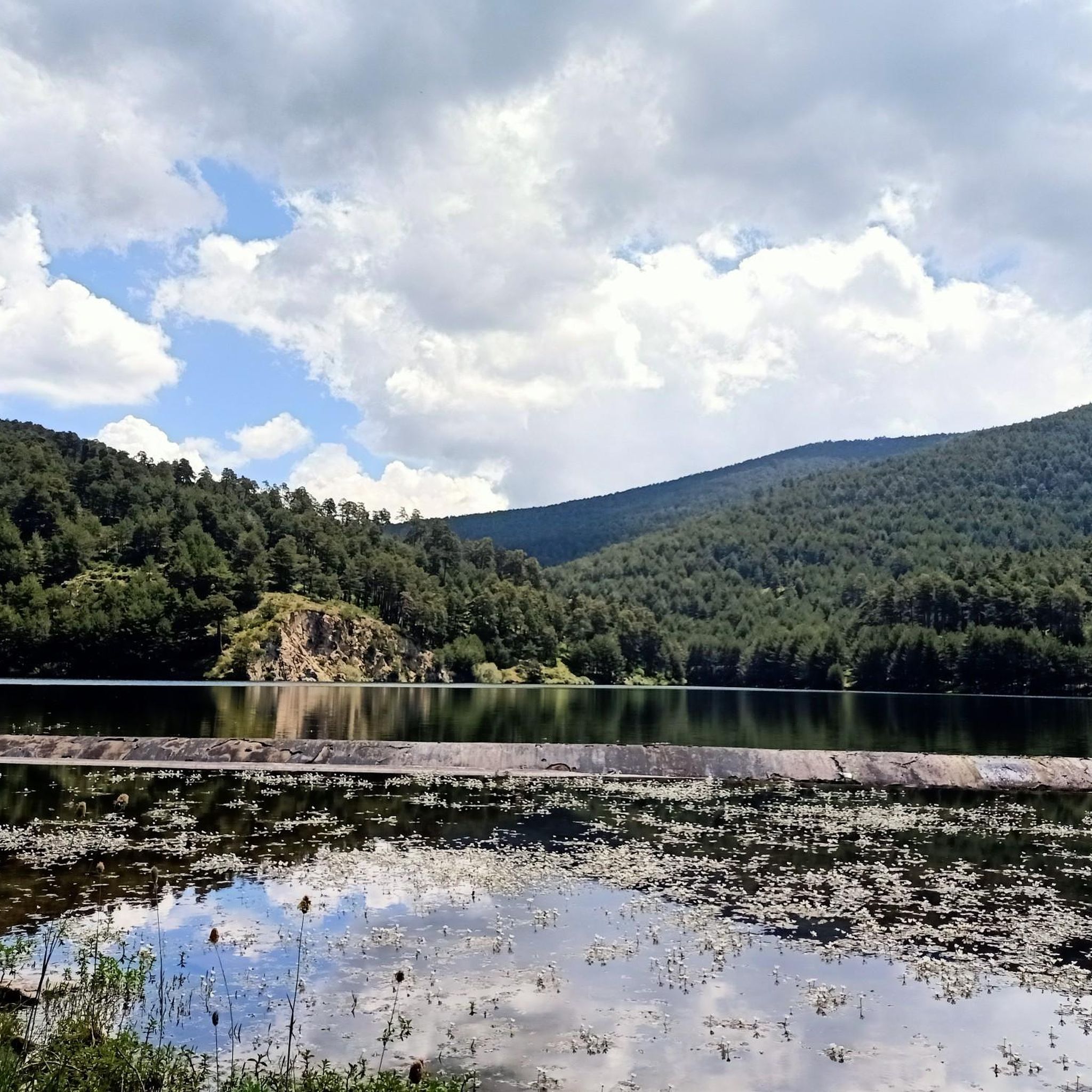
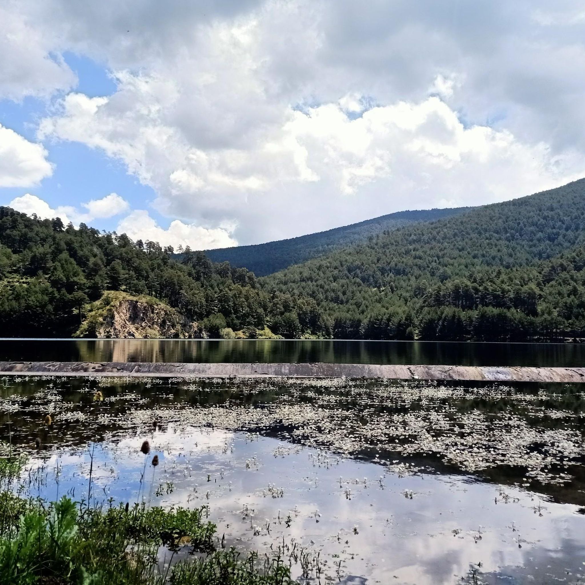
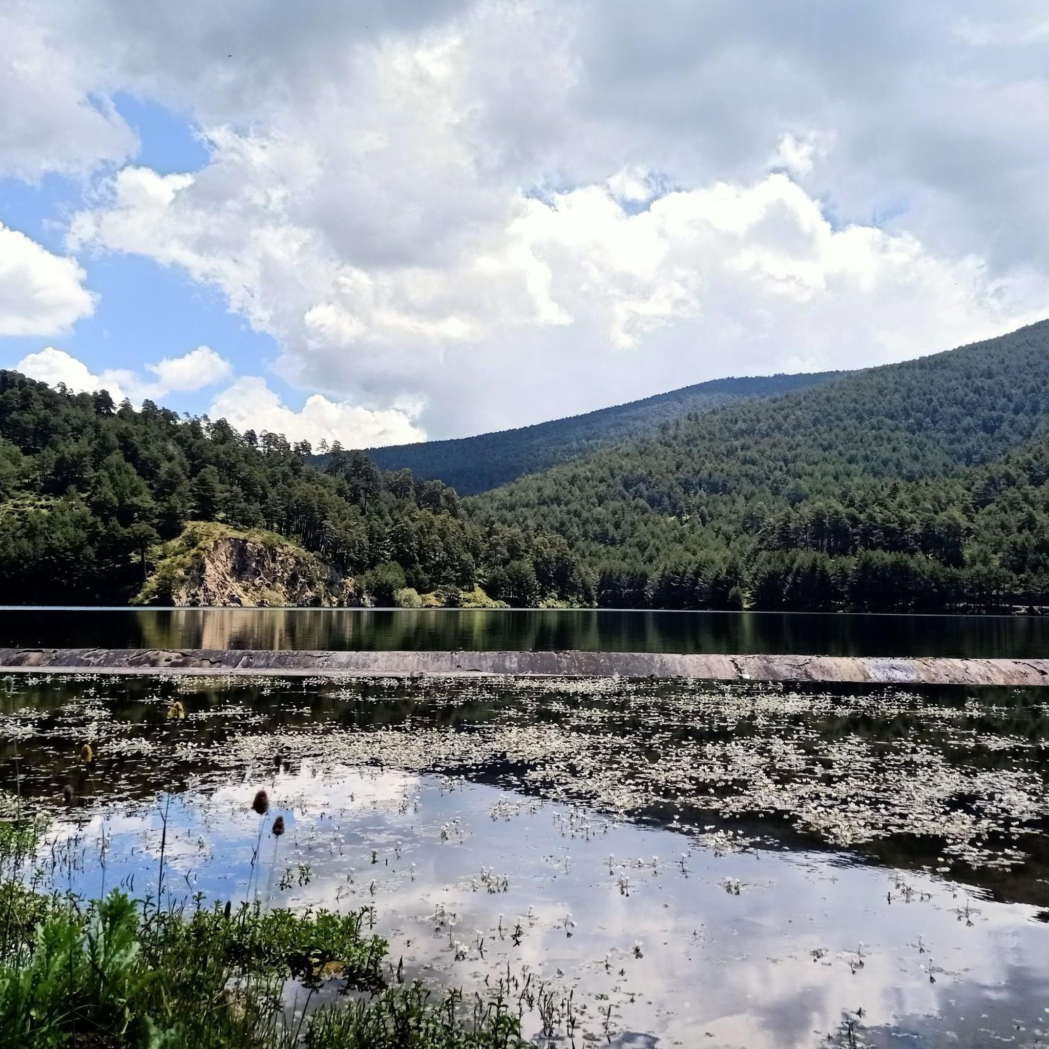
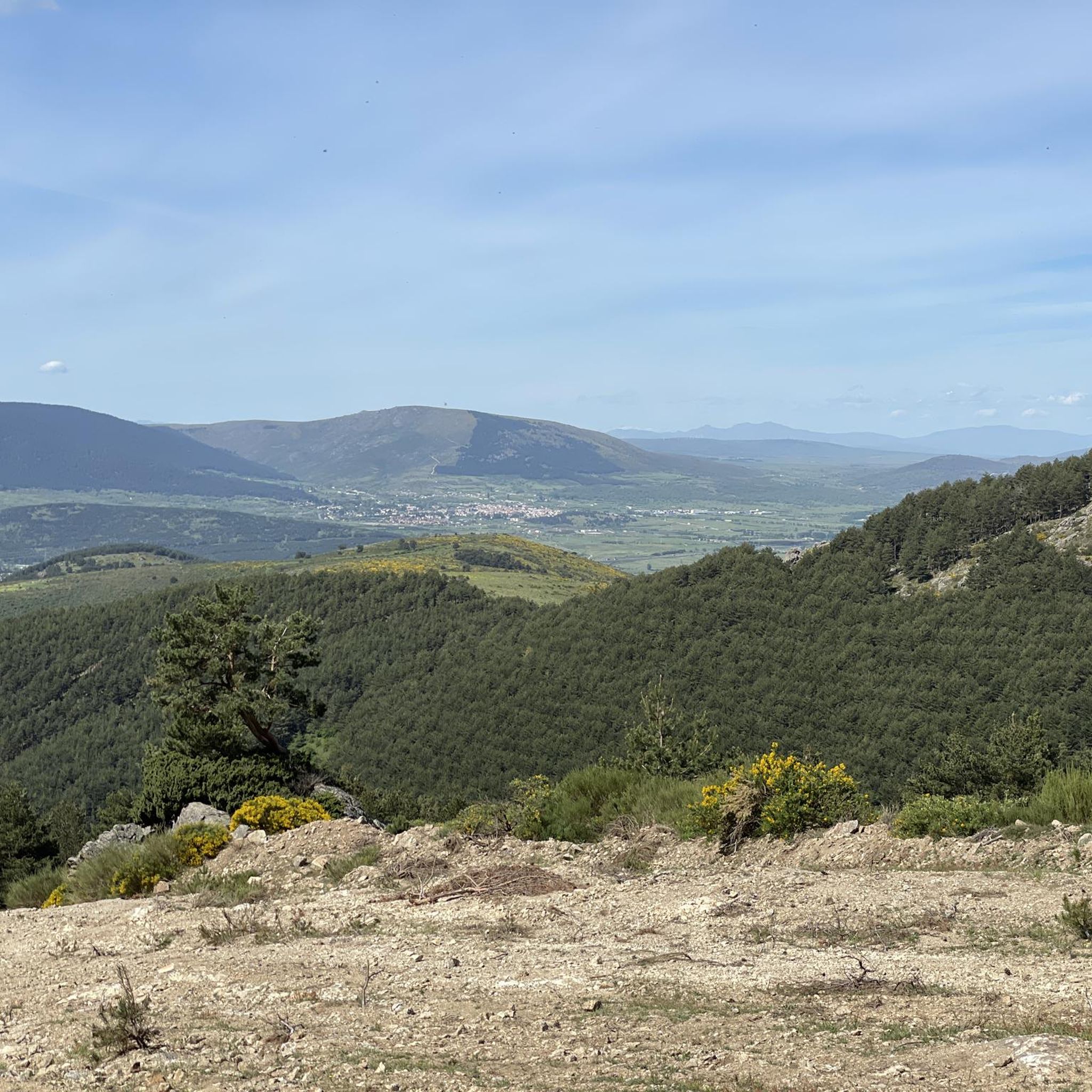

Tips from the Community

This fountain, at the end of April 2026, had its spout where the water fell removed. Now you can only get water from a small waterfall behind this tank.
1
0
Impressive pass located on the ridge of the Mujer Muerta or Peña del Oso.
0
0

It is the peak that forms the chest of La Mujer Muerta, its altitude 2,196 m. It is practically the same as that of La Pinareja 2,197 m., (one meter less). The surrounding landscape is unique.
1
0
Pasapán Peak is the last one when you tour the Dead Woman from head to toe. It is the lowest altitude of this Hill, but it is a place of great charm and extraordinary landscape.
1
0
In one of the curves of the Track that comes from the Port of Pasapán, you have the opportunity to lean on the fence and admire the entire landscape of the Milanillos River basin. There are people who go down the shortcut of stones, (with great danger), I recommend continuing along the track even if it takes a small detour.
1
0
Between the Cerro de La Mujer Muerta and the Sierra del Quintanar. Between the Moros River and the Milanillos River. Crossroads, it is a very suitable place to stop on your route and enjoy a rest.
1
0
The Puerto de Pasapan (1,846m) is a mythical port in the area of the Guadarrama mountain range in the so-called Mujer Muerta range. Once the month of October arrives, the Moros River Gorge, closed from July to October due to fire risk, will reopen. La Mujer Muerta is a mountain range in the central area of the Sierra de Guadarrama and belonging to the province of Segovia.
0
0

A wooden observation platform, suspended over the Moros River gorge. Incredible views of the deep canyon and river below.
0
0
Frequently Asked Questions
How many hiking trails are available around Otero de Herreros?
There are over 120 hiking routes in the Otero de Herreros area, offering a wide variety of options for different skill levels and preferences.
What kind of landscapes will I encounter on hikes near Otero de Herreros?
Hikes around Otero de Herreros feature diverse landscapes, including rolling hills, expansive open spaces, and the distinctive granite rock formations of the Sierra de Guadarrama. You'll also find extensive pine forests, high mountain grasslands, and numerous streams, providing a picturesque backdrop for your outdoor adventures.
Are there many circular hiking routes in the Otero de Herreros area?
Yes, the region offers several circular routes. For example, the moderate Risca del Río Moros y Embalse de los Ángeles — circular desde Matute is a popular choice, exploring the Río Moros and the Embalse de los Ángeles. Another option is The Lovers' Bridge – Vegas de Matute loop from Vegas de Matute, a moderate 8.5 km trail.
What is the best time of year to go hiking in Otero de Herreros?
The Sierra de Guadarrama, near Otero de Herreros, offers pleasant hiking conditions during spring and autumn with mild temperatures and vibrant scenery. Summer can be warm, especially at lower elevations, while winter brings the possibility of snow in higher mountain areas, requiring appropriate gear.
Are there any family-friendly hiking options around Otero de Herreros?
Yes, the area provides options suitable for families. The immediate vicinity of Otero de Herreros features gentle hills and open spaces, ideal for more relaxed outdoor pursuits. Additionally, local municipal parks offer walking paths for lighter strolls. For specific routes, look for trails marked as 'easy' in the komoot app.
What are some notable natural attractions or viewpoints along the trails?
Hikers can discover several natural attractions. You might encounter highlights such as Fuente de la Reina or Fuenfría Spring. For impressive views, consider routes that pass by Majalasna Peak or the Milanillos Viewpoint.
Are there any waterfalls or significant water features to see?
Yes, the region has streams and water features. You can find the Ojos del Río Moros and the Ducha de los Alemanes, which is a waterfall, offering scenic spots along your hike.
What do other hikers enjoy most about hiking in Otero de Herreros?
The area is highly rated by the komoot community, with an average score of 4.6 stars from over 490 reviews. Reviewers often praise the diverse landscapes, from rolling hills to pine forests and granite formations, and the variety of routes available for all difficulty levels.
Are there any long-distance hiking paths that pass through Otero de Herreros?
Yes, the Natural Path of the Western Soriana Royal Cattle Track, a significant long-distance route, passes directly through Otero de Herreros. This path spans almost 150 kilometers, divided into 8 stages, and largely follows an ancient livestock route through the Sierra de Guadarrama.
What are the difficulty levels of trails around Otero de Herreros?
The trails around Otero de Herreros cater to a range of abilities. You'll find approximately 9 easy routes for relaxed strolls, about 73 moderate trails for more extended excursions, and around 40 difficult routes for experienced hikers seeking challenging mountain ascents.
Can I find routes that include lakes or reservoirs?
Yes, several routes incorporate lakes and reservoirs. For instance, the Risca del Río Moros y Embalse de los Ángeles — circular desde Matute trail explores the Embalse de los Ángeles. Other nearby water bodies include Puente Alta Reservoir and Los Irrios Reservoir.
Are there any challenging mountain hikes in the area?
For experienced hikers, there are challenging mountain ascents. A notable difficult route is The Dead Woman – Peña del Oso (2,196 m) loop from Rancho la Becea, which includes a significant climb to Peña del Oso. Another demanding option is Peña del Oso (2,196 m) – The Dead Woman loop from Rancho la Becea, leading through high mountain terrain.
Most popular routes around Otero De Herreros
Most popular attractions around Otero De Herreros

Get inspired with the komoot mobile app


Explore more
Browse the best Hikes in other regions.
