The best walks and hikes around Escurial De La Sierra
4.5
(16)
134
hikers
12
hikes
Hiking around Escurial De La Sierra offers access to the diverse landscapes of the Las Batuecas-Sierra de Francia Natural Park, a UNESCO Biosphere Reserve. The region features a network of hidden valleys and mountainous terrain, including peaks like Peña de Francia and Pico Cervero. Elevations support varied flora, from broom at higher altitudes to chestnut, oak, and holm oak forests in lower areas. River systems and valleys contribute to the area's rich biodiversity.
Best hiking trails around Escurial De La…
Last updated: June 28, 2026
25
hikers
Moderate hike. Good fitness required. Easily-accessible paths. Suitable for all skill levels.
4.6
(5)
9
hikers
Moderate hike. Good fitness required. Easily-accessible paths. Suitable for all skill levels.

Sign up for free
25
hikers
7.59km
02:11
190m
190m
Moderate hike. Good fitness required. Easily-accessible paths. Suitable for all skill levels.
4.5
(6)
30
hikers
18.9km
05:28
500m
500m
Hard hike. Very good fitness required. Easily-accessible paths. Suitable for all skill levels.
4.0
(2)
8
hikers
13.0km
03:36
240m
240m
Moderate hike. Good fitness required. Easily-accessible paths. Suitable for all skill levels.
Get access to more routes and recommendations from other explorers.
Sign up for free
Already have an account?
Our route recommendations are based on thousands of hikes, rides, and runs completed by other people on komoot.
Start today with a free account
Your next adventure awaits.
Login or Signup
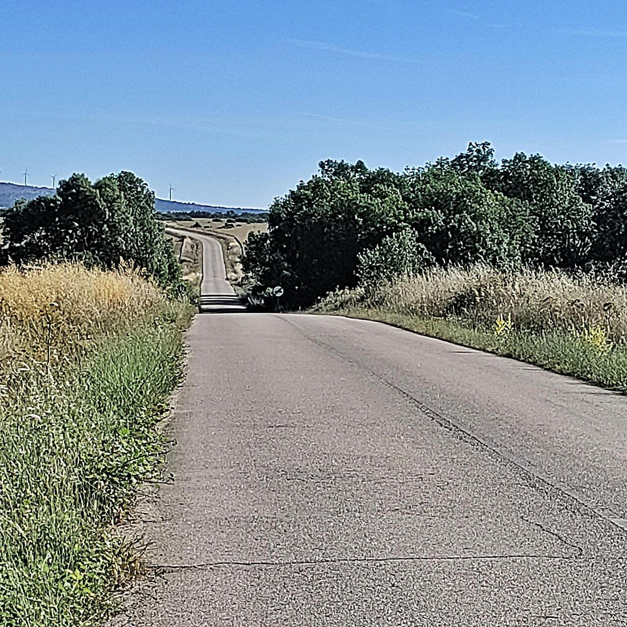

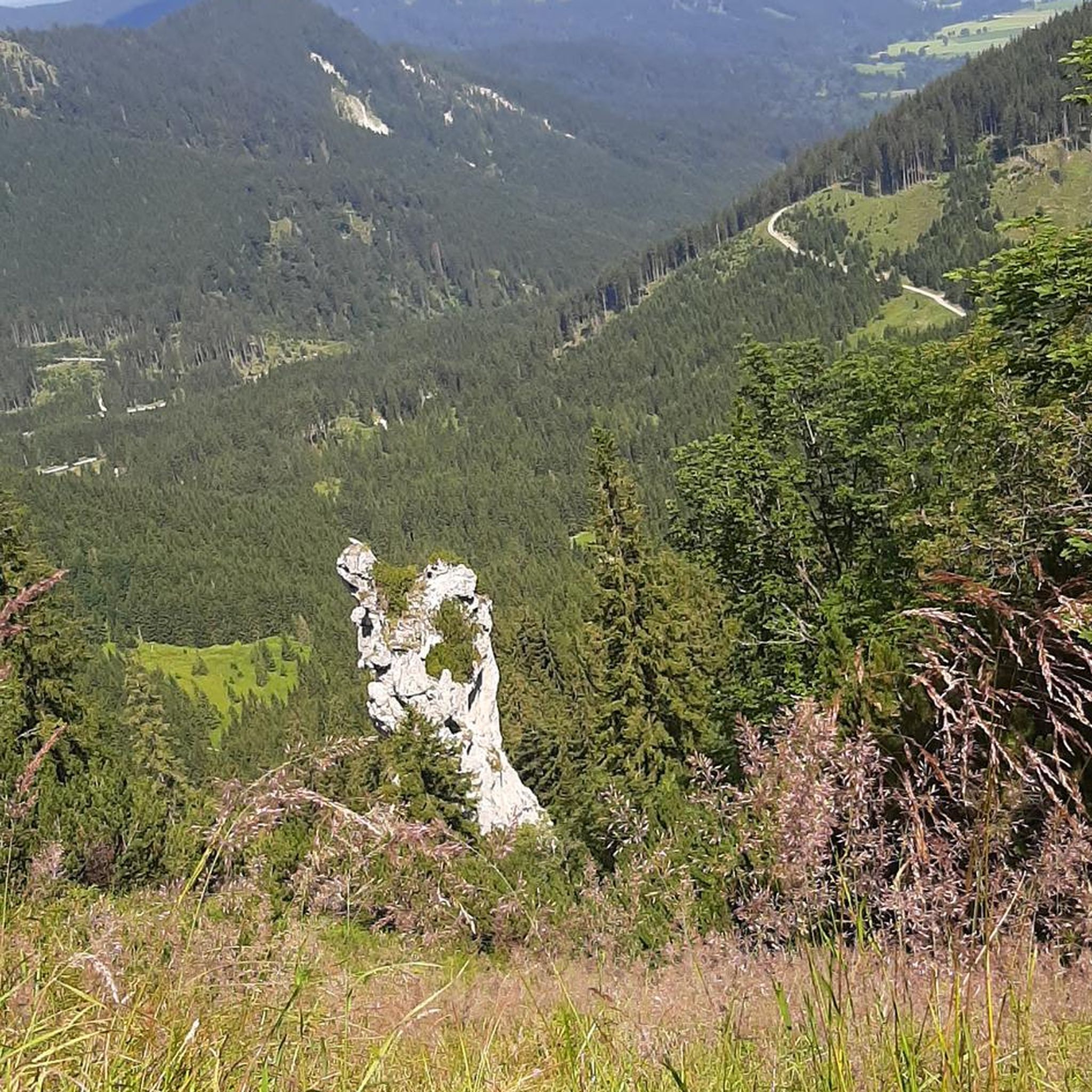
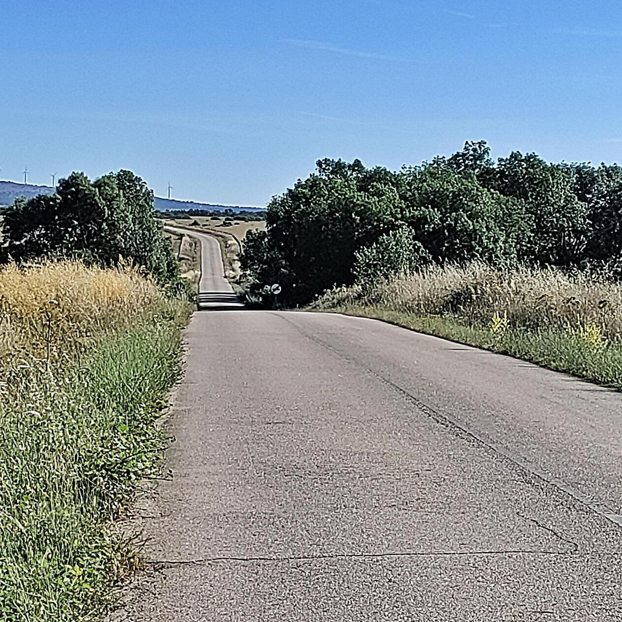
Tips from the Community

Located between the municipalities of Navarredonda de la Rinconada and Escurial de la Sierra, in the Sierra de Francia-Quilamas region. A protected natural area within the Natura 2000 network, with oak and chestnut forests and wildlife such as the golden eagle and griffon vulture.
5
0

The top of Pico Cervero is located at 1,522 meters above sea level within the wonderful Natural Space of Las Quilamas. The ascent is demanding and depending on where you climb it from, it may have some technical sectors. From Linares de Riofrío you can follow the path through the Honfrías forest, a wonderful and picturesque place.
1
1

La Morana or Quintos fountain, belonging to the La Honfría forest. According to posters in the area up to this source "the Fifth of the town went up to wash at the beginning of December".
1
0
The most recommended times for this route are May, well into spring and autumn. The landscapes of the area with the trees covered with leaves are highly recommended, especially the forest of La Honfría.
1
0

Magical place, excellent 360º views (if it is not cloudy). It is worth the ascent both by mountain bike, gravel or walking.
1
0

El Cervero is the highest peak in the Sierra de las Quilamas, with an altitude of 1465 meters
1
0
Pico Cervero. Spectacular views of the entire Sierra de Francia
1
0
Frequently Asked Questions
How many hiking trails are available in Escurial De La Sierra?
There are over 10 hiking routes around Escurial De La Sierra, offering a variety of experiences within the Las Batuecas-Sierra de Francia Natural Park. These trails range in difficulty from easy to difficult, ensuring options for different fitness levels.
What kind of terrain can I expect on hikes in Escurial De La Sierra?
Hikes in Escurial De La Sierra feature diverse terrain, from mountainous areas with peaks like Peña de Francia and Pico Cervero, to hidden valleys and river systems. You'll encounter varied flora, including broom at higher altitudes, and chestnut, oak, and holm oak forests in lower elevations.
Are there family-friendly hiking options in Escurial De La Sierra?
Yes, there are routes suitable for families. For instance, the La Honfría Recreation Area loop is an easily accessible path suitable for all skill levels, typically taking up to two hours. This allows families to enjoy the natural beauty without overly strenuous effort.
Are there many circular hiking routes available?
Yes, the region offers several excellent circular routes. Popular options include Sendero de las Honfrías - circular from Linares de Riofrío and Pico Cervero – circular from Navarredonda de la Rinconada. Additionally, the unique Nature Art Paths, such as the Camino de los Prodigios, are typically circular routes ranging from 7 to 10 km.
What interesting natural features or landmarks can I see while hiking?
While hiking, you can explore the diverse landscapes of the Las Batuecas-Sierra de Francia Natural Park, a UNESCO Biosphere Reserve. Notable natural features include the prominent Cervero Peak and the Ascent to Puerto de Valero. The region also features unique Nature Art Paths with surprising installations along the trails.
What is the best time of year to hike in this region?
The Sierra de Francia region offers diverse landscapes that can be enjoyed across seasons. Spring and autumn generally provide pleasant temperatures and vibrant scenery, with blooming flora or rich autumnal colors. Summer can be warm, especially at lower altitudes, while higher elevations might offer cooler conditions. Winter hiking is possible, but some higher routes may require more preparation due to weather.
Can I bring my dog on the trails around Escurial De La Sierra?
The Las Batuecas-Sierra de Francia Natural Park is a protected area. While many trails are generally accessible, it's always recommended to keep dogs on a leash to protect local wildlife and ensure a pleasant experience for all hikers. Check specific trail regulations for any restrictions.
Do I need any permits to hike in the Sierra de Francia?
The Sierra de Francia is part of the Las Batuecas-Sierra de Francia Natural Park. Generally, day hiking on established trails does not require specific permits. However, for certain activities or larger groups, it's always advisable to check with the park authorities for any specific regulations or requirements.
What do other hikers say about the trails in Escurial De La Sierra?
The trails around Escurial De La Sierra are highly rated by the komoot community, with an average score of 4.4 stars from over 14 reviews. Hikers often praise the diverse landscapes, from mountainous views to hidden valleys, and the variety of routes available for different skill levels.
Are there any unique art installations along the hiking trails?
Yes, the region is home to the unique Nature Art Paths (Caminos de Arte en la Naturaleza) in the Sierra de Francia. These routes combine hiking with art, featuring surprising installations along the trails, such as 'cages over the valley, mermaids beside the river, bronze feathers, and doors in the middle of the countryside'.
Is public transport an option to reach hiking trailheads?
While Escurial De La Sierra is a small town, public transport options to specific trailheads might be limited. It's generally recommended to have personal transportation to access the starting points of many routes, especially those deeper within the natural park. Always check local bus schedules if you plan to rely on public transport.
Where can I park when hiking in Escurial De La Sierra?
Parking is typically available in or near the towns and villages that serve as starting points for the trails, such as Linares de Riofrío or Navarredonda de la Rinconada. For specific routes, it's advisable to check the route details on komoot for information on designated parking areas near the trailhead.
Most popular attractions around Escurial De La Sierra

Get inspired with the komoot mobile app


Explore more
Browse the best Hikes in other regions.
