The best road cycling routes around Senyera
4.5
(55)
4,833
riders
98
rides
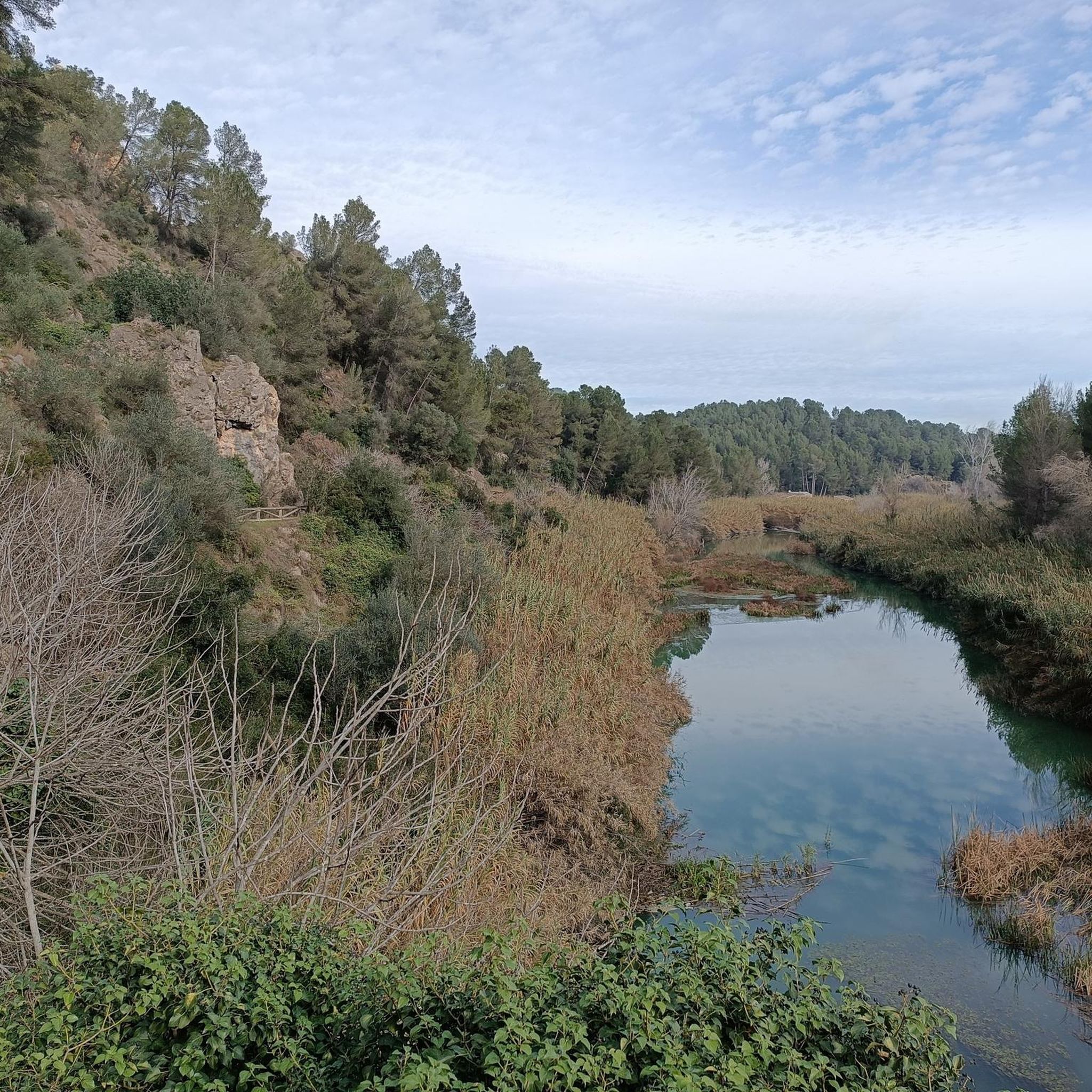
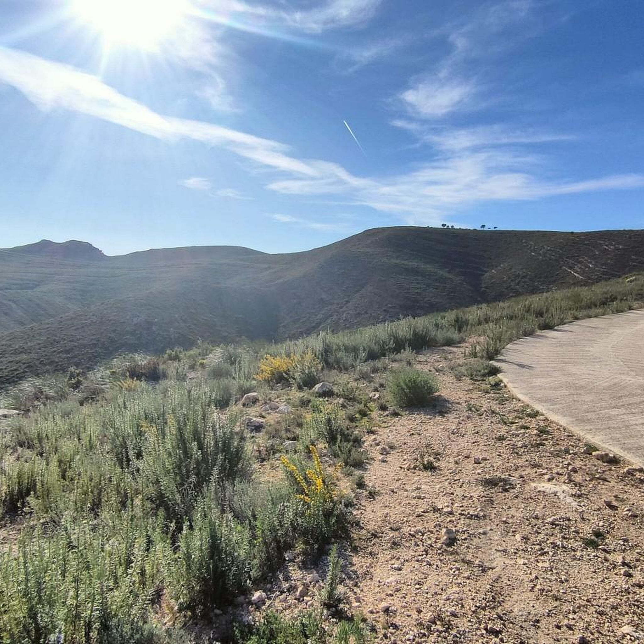
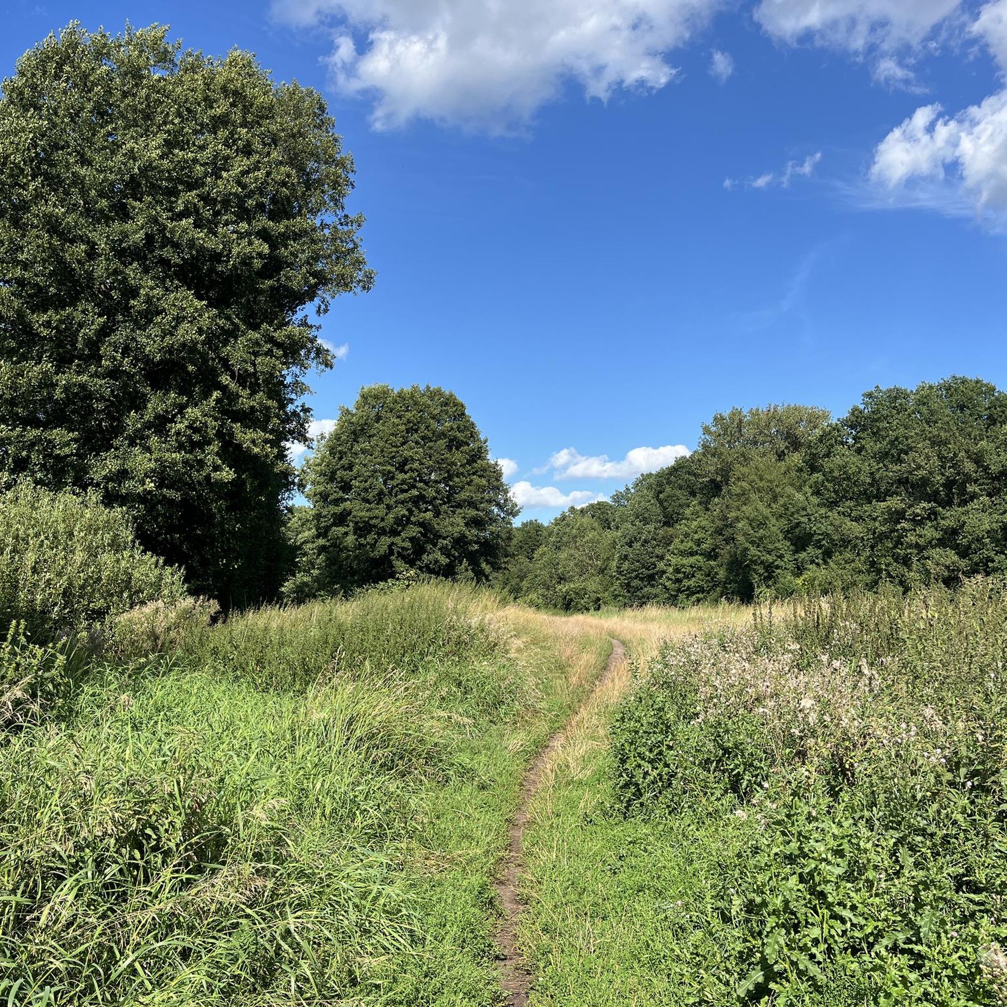
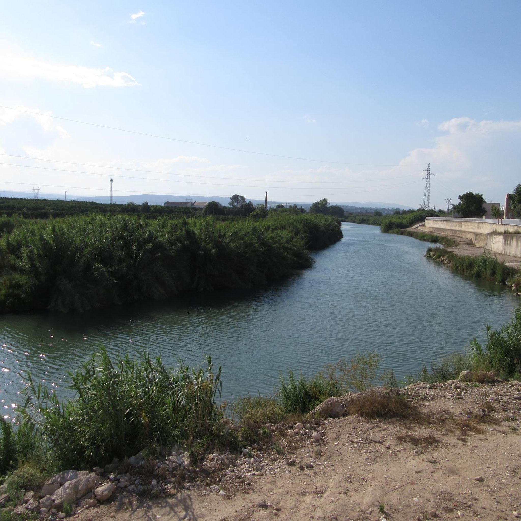
Road cycling around Senyera offers access to diverse landscapes and varied terrain within the Valencian Community. The region features a mix of paved surfaces and some unpaved segments, with routes traversing lush green areas, agricultural lands, and leading to significant elevation gains. Cyclists can explore areas near the Benicadell massif and challenging climbs like the Puerto de la Drova. This area provides a range of road cycling experiences, from leisurely rides to strenuous journeys.
Best road cycling routes around Senyera
…Last updated: July 10, 2026
99
riders
97.4km
04:33
1,150m
1,150m
Hard road ride. Very good fitness required. Mostly well-paved surfaces and easy to ride.
4.0
(1)
158
riders
58.1km
02:32
480m
480m
Moderate road ride. Good fitness required. Mostly well-paved surfaces and easy to ride.

Sign up for free
40
riders
107km
05:07
1,290m
1,290m
Hard road ride. Very good fitness required. Mostly well-paved surfaces and easy to ride.
30
riders
128km
06:33
1,850m
1,850m
Hard road ride. Very good fitness required. Mostly well-paved surfaces and easy to ride.
12
riders
41.1km
01:45
110m
110m
Moderate road ride. Great for any fitness level. Some segments of this route may be unpaved and difficult to ride.
Get access to more routes and recommendations from other explorers.
Sign up for free
Already have an account?
Our route recommendations are based on thousands of hikes, rides, and runs completed by other people on komoot.
Start today with a free account
Your next adventure awaits.
Login or Signup

Tips from the Community

L’ermita de Sant Roc de Carcaixent (així coneguda, tot i que realment no és una ermita sinó l’antiga església del lloc de Ternils, ja desaparegut), és un bell monument del primer gòtic, que es va construir al segle XIII sobre la base d’una mesquita musulmana. Gràcies a la rehabilitació que es va fer als anys 80 del segle passat, actualment es troba en condicions idònies per a ser admirada. rcortellg.blogspot.com/2013/07/visita-lermita-de-sant-roc.html
1
0

very nice, good road and little traffic
0
0

Enjoy refreshing water in the adjacent pool. Open during the summer months. There's an entrance fee. See also: Anna Lagoon Lake | Anna City Council https://www.ayuntamientoanna.es/albufera-anna.
0
1
During the summer months of July and August, you must make a reservation via https://www.ontinyent.es/va/pagina/pou-clar. This is only possible for Spanish residents with a NI number. Once you have a reservation, you can take a bus from Ontinyent Poliesportiu Municipal to Pou Clar on weekends. There is no parking at Pou Clar during these months. Parking is available at Poliesportiu Municipal. From there, it's a walk of about 2 kilometers. And then you'll find yourself in a beautiful setting with wonderfully refreshing water.
1
0


From Enguera, it's 14.8 km at 3.3% with a maximum gradient of 9%, reaching the summit at 654 (754 according to the sign) meters above sea level after a 488-meter climb. It's a secondary road with little traffic in good condition. However, there's no shade. The last 12.4 km are marked with typical mountain pass signs in the CV.
0
0
From Enguera, it's 14.8 km at 3.3% with a maximum gradient of 9%, reaching the summit at 654 meters above sea level after a 488-meter climb. It's a secondary road with little traffic in good condition. There's no shade, however. The last 12.4 km are marked with typical mountain pass signs in the CV.
0
0

spectacular place to visit and take pictures!
0
0
Frequently Asked Questions
How many road cycling routes are available around Senyera?
There are over 80 road cycling routes around Senyera, offering a wide range of options for different skill levels. You'll find everything from moderate rides to challenging ascents.
What kind of terrain can I expect on road cycling routes near Senyera?
Road cycling routes near Senyera feature diverse landscapes and varied terrain. You can expect a mix of well-paved surfaces, some unpaved segments, lush green areas, and agricultural lands. The region also includes significant climbs, such as those leading towards the Benicadell massif and the Puerto de la Drova.
Are there challenging road cycling routes with significant climbs around Senyera?
Yes, Senyera offers several challenging road cycling routes with significant elevation gains. For instance, the La Visteta Viewpoint – Port de Barx loop from Castelló is a difficult 45.5-mile path featuring substantial climbing and panoramic views. Another demanding option is the Bellús Reservoir Pine Forest – Port de Bosquet loop from Castelló, which covers over 80 miles with considerable ascent.
Are there easy or family-friendly road cycling routes near Senyera?
While many routes offer challenges, you can find easier options. The region includes routes that follow historic train lines, such as the Natural Trail of the Old Little Train, which provides a scenic cycling experience on largely flat, well-maintained paths. These are generally suitable for more relaxed rides, though some sections may share secondary roads.
What historical landmarks or natural features can I see along road cycling routes near Senyera?
Many routes pass by significant historical and natural attractions. You might encounter the impressive Castell de Xàtiva, a historic fortress, or the 18th-century Hermitage of Saint Joseph, offering panoramic views. The Collegiate Basilica of Santa María (La Seu) in Xàtiva is another notable sight. For natural features, routes can lead to areas near the Benicadell massif or reservoir areas like those found on the Sellent Viewpoint – Albufera de Anna loop from Castelló.
Are there any notable viewpoints on road cycling routes around Senyera?
Yes, several routes offer impressive viewpoints. The La Visteta Viewpoint – Port de Barx loop from Castelló is specifically known for its panoramic vistas. Additionally, the Hermitage of Saint Joseph provides excellent views of Xàtiva, and many climbs in the region offer expansive scenery of the Valencian landscape.
What is the road quality like on routes around Senyera?
The road quality around Senyera is generally good, with many routes featuring well-paved surfaces suitable for road bikes. However, some routes, particularly those following older trails or greenways, may include unpaved segments. It's always a good idea to check specific route details for surface information if you have concerns.
What do other cyclists say about road cycling in Senyera?
The road cycling routes around Senyera are highly rated by the komoot community, with an average score of 4.4 stars from over 50 reviews. Cyclists often praise the diverse landscapes, varied terrain, and the range of options from moderate to challenging ascents.
Are there circular road cycling routes available around Senyera?
Yes, many of the road cycling routes around Senyera are designed as loops, allowing you to start and finish in the same location. Examples include the Ateneo Sueco del Socorro – Cullera Lighthouse loop from Castelló and the Pou Clar Natural Pools – Pou Clar loop from Castelló.
What is the best time of year for road cycling in Senyera?
The Valencian Community, where Senyera is located, enjoys a Mediterranean climate. Spring and autumn generally offer the most pleasant conditions for road cycling, with mild temperatures and less chance of extreme heat or cold. Summer can be hot, especially at midday, while winter is typically mild but can have cooler, wetter days.
Where can I find parking for road cycling routes in Senyera?
While specific parking areas for each route may vary, many routes start from larger towns like Castelló, which typically offer public parking facilities. For routes starting directly in Senyera or smaller villages, street parking might be available. It's advisable to check the starting point of your chosen route for specific parking recommendations.
Can I find places to eat or drink near the cycling routes?
Yes, as you cycle through the region, especially when passing through towns and villages, you'll find opportunities to stop at local cafes and restaurants. The area is part of the Valencian Community, known for its gastronomy, so you can expect a good selection of places to refuel.
Most popular attractions around Senyera

Get inspired with the komoot mobile app


Explore more
Browse the best Road cycling routes in other regions.
