The best walks and hikes around Callús
4.5
(301)
2,529
hikers
274
hikes
Hiking around Callús offers access to a diverse landscape characterized by agricultural lands, forests, and rolling hills. The region features riverine landscapes shaped by streams like Rajadell and Fonollosa, providing varied scenery for outdoor activities. Callús is also situated near the Collbaix Summit, the highest point in the Manresa district, and offers proximity to larger natural parks such as Sant Llorenç del Munt i l'Obac and Montserrat.
Best hiking trails around Callús
- The most popular hiking route is Cal Trist…
Last updated: October 5, 2026
5.0
(3)
9
hikers
13.1km
03:33
190m
190m
Moderate hike. Good fitness required. Easily-accessible paths. Suitable for all skill levels.
7
hikers
10.4km
02:54
200m
200m
Moderate hike. Good fitness required. Easily-accessible paths. Suitable for all skill levels.

4.5
(2)
6
hikers
6.20km
01:43
110m
110m
Easy hike. Great for any fitness level. Easily-accessible paths. Suitable for all skill levels.
5.0
(2)
4
hikers
4.54km
01:16
80m
80m
Easy hike. Great for any fitness level. Easily-accessible paths. Suitable for all skill levels.
1
hikers
Moderate hike. Good fitness required. Easily-accessible paths. Suitable for all skill levels.
Get access to more routes and recommendations from other explorers.
Already have an account?
Our route recommendations are based on thousands of hikes, rides, and runs completed by other people on komoot.
Start today with a free account
Your next adventure awaits.
Tips from the Community

The first stone was laid in 1936 and construction was completed in 1940. It is certainly worth a stop to admire its beautiful architecture.
0
0

Church of the municipality of Callús (Bages) included in the Inventory of the Architectural Heritage of Catalonia. This church was built in 1936 due to the fact that at the end of the 19th century a series of textile industries were installed on the banks of the Cardener River that were a pole of attraction for the population; Thus, a new town was set up on the plain that was far from the parish church located on top of a hill near the castle of Callús.
0
0

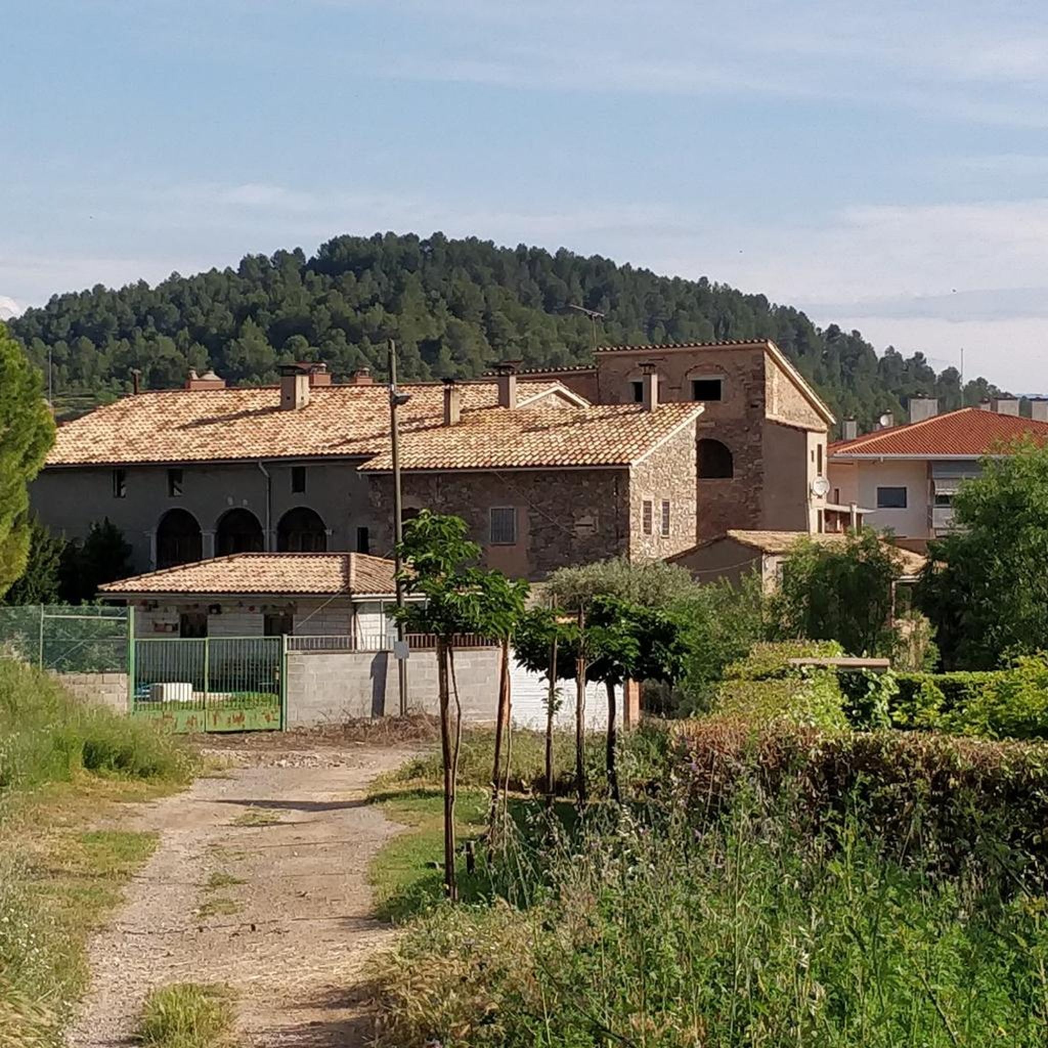
This simple country church, I believe, was built in the 17th century. A good place for a photo or rest.
0
0

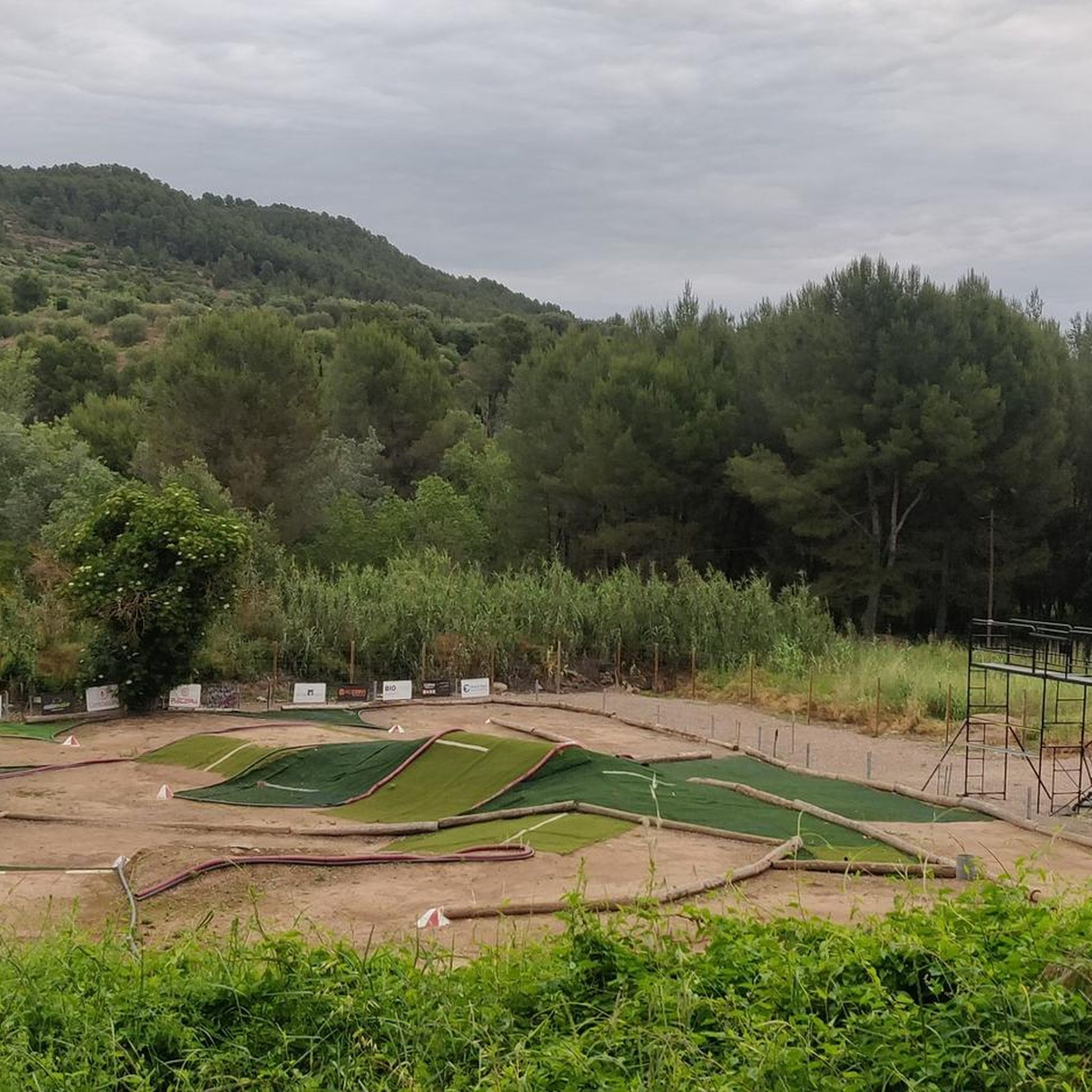
Between vineyards. Good place for a stopover.
0
0

Frequently Asked Questions
How many hiking trails are available around Callús?
Callús offers a wide variety of hiking opportunities, with over 200 routes available. These include 59 easy trails, 145 moderate routes, and 13 more challenging hikes, ensuring options for all skill levels.
What kind of terrain can I expect on the hiking trails around Callús?
The hiking trails around Callús feature a diverse landscape. You'll encounter agricultural fields, dense forests, and rolling hills. The region also includes riverine landscapes shaped by streams like Rajadell and Fonollosa, and offers views towards the prominent Collbaix Summit.
Are there hiking trails suitable for beginners or easy walks in Callús?
Yes, Callús is well-suited for beginners and those looking for easier walks. There are 59 easy trails available, offering gentle ascents and varied scenery through agricultural lands and forests, perfect for a relaxed outdoor experience.
What natural attractions can I discover while hiking near Callús?
Hikers can explore several natural attractions. The Collbaix Summit offers panoramic views, while Parque de l'Agulla provides a pleasant lakeside setting. You might also encounter the impressive Bigaire Gorge or the ancient Alzina Grossa de Querol. Additionally, the historic La Séquia de Manresa aqueduct offers a unique walking path.
Are there any historical or cultural landmarks accessible from the hiking trails?
Yes, several historical and cultural landmarks are within reach. You can visit the Castellnou Castle Tower, Balsareny Castle, or Rajadell Castle. The nearby city of Manresa also boasts the impressive Collegiate Basilica of Santa Maria de la Aurora and the historic Pont Vell, which can be incorporated into longer walks or cycling trips.
Are there family-friendly hiking options in Callús?
Callús offers many routes suitable for families, especially among its 59 easy trails. These paths often feature gentle terrain through forests and open countryside, providing accessible options for all ages to enjoy the outdoors together.
What do other hikers enjoy the most about hiking in Callús?
The hiking experience in Callús is highly rated by the komoot community, with an average score of 4.6 stars from over 230 reviews. Hikers often praise the varied terrain, the peaceful agricultural lands, and the scenic views, particularly from elevated points like Collbaix Summit.
Are there any circular hiking routes available in Callús?
Yes, many of the trails around Callús are designed as circular routes, allowing you to start and end at the same point. An example is the Puig Gater – Puig-alter loop from Cererols, which offers a moderate 8.4 km hike through varied landscapes.
How long do hikes typically take around Callús?
Hike durations vary depending on the route and your pace. For example, a moderate trail like the Hiking loop from Santpedor, covering 7.8 km, typically takes around 2 hours 15 minutes. Longer routes, such as the Sant Sadurní Church (Callús) – Pond and Mine of Xuclador loop from Bages (15.9 km), can take over 4 hours.
Is it possible to reach hiking trails in Callús using public transport?
While Callús itself has limited public transport options directly to trailheads, the municipality is accessible, and some routes might be reachable with a combination of regional buses and a short walk. For specific trail access, it's advisable to check local bus schedules to nearby towns like Manresa or Santpedor, and then plan your route accordingly.
Are there specific parking facilities for hikers in Callús?
Many hiking routes around Callús start from villages or towns where public parking is generally available. For instance, trails originating from Súria, Santpedor, or el Serrat de Castellnou typically have designated parking areas nearby. It's recommended to check the starting point of your chosen route for specific parking information.
What is the best time of year to go hiking in Callús?
The region around Callús is pleasant for hiking during most of the year. Spring and autumn offer mild temperatures and vibrant scenery, making them ideal. Summer can be warm, so early morning or late afternoon hikes are recommended. Winter hiking is also possible, with generally cooler but often sunny conditions.
Most popular attractions around Callús

Get inspired with the komoot mobile app


Explore more
Browse the best Hikes in other regions.
