The best walks and hikes around Bescanó
4.4
(1041)
8,628
hikers
29
hikes
Hiking around Bescanó offers diverse natural landscapes, characterized by its unique geological features and well-maintained trail networks. The region features the ancient La Crosa Volcano, known for its large crater, alongside tranquil walking opportunities along the River Ter. Extensive wooded hills and a varied topography of plains and river basins define the terrain, providing a pure atmosphere for outdoor activities.
Best hiking trails around Bescanó
- The most popular hiking route is Hermitage of Sant Llop – Crosa Volcano loop from…
Last updated: October 2, 2026
5.0
(3)
37
hikers
Easy hike. Great for any fitness level. Easily-accessible paths. Suitable for all skill levels.
4.0
(2)
14
hikers
13.5km
03:40
190m
190m
Moderate hike. Good fitness required. Easily-accessible paths. Suitable for all skill levels.

5.0
(1)
17
hikers
8.40km
02:11
50m
50m
Moderate hike. Good fitness required. Easily-accessible paths. Suitable for all skill levels.
1.0
(1)
9
hikers
6.07km
01:35
40m
40m
Easy hike. Great for any fitness level. Easily-accessible paths. Suitable for all skill levels.
4.5
(2)
2
hikers
Moderate hike. Good fitness required. Easily-accessible paths. Suitable for all skill levels.
Get access to more routes and recommendations from other explorers.
Already have an account?
Our route recommendations are based on thousands of hikes, rides, and runs completed by other people on komoot.
Start today with a free account
Your next adventure awaits.
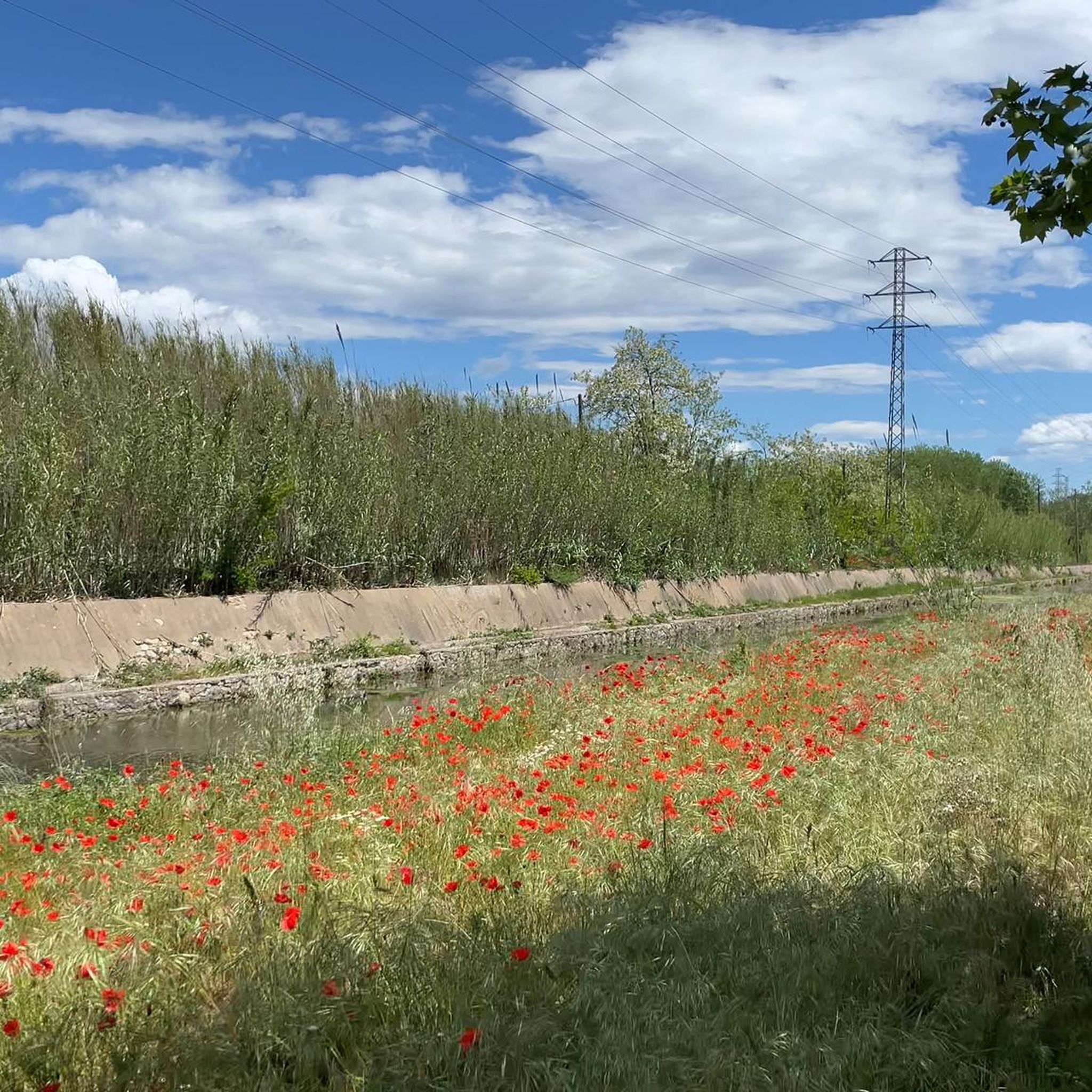
Tips from the Community

Chapel built in 1588 rebuilt
0
0
Source
0
0

Beautiful spot near the source of the Onyar River.
0
0

The Fountain of Can Bosch is the water mine that comes from the Crater of the La Crossa Volcano.
0
0

Hermitage in the town of Salitja, next to the Crosa Volcano. From the 17th century. Next to the hermitage there is a source of water and the legend says that the image of the Virgin of the hermitage was found by an ox in this source. Hence the hermitage was built.
0
0
The hermitage of Sant Llop dates from the 9th-10th centuries. Located on the Crosa volcano, in the middle of a forest of oaks and oaks. It is surrounded by a 2.5 meter deep ditch from the 19th century. It is currently in a state of abandonment.
0
0

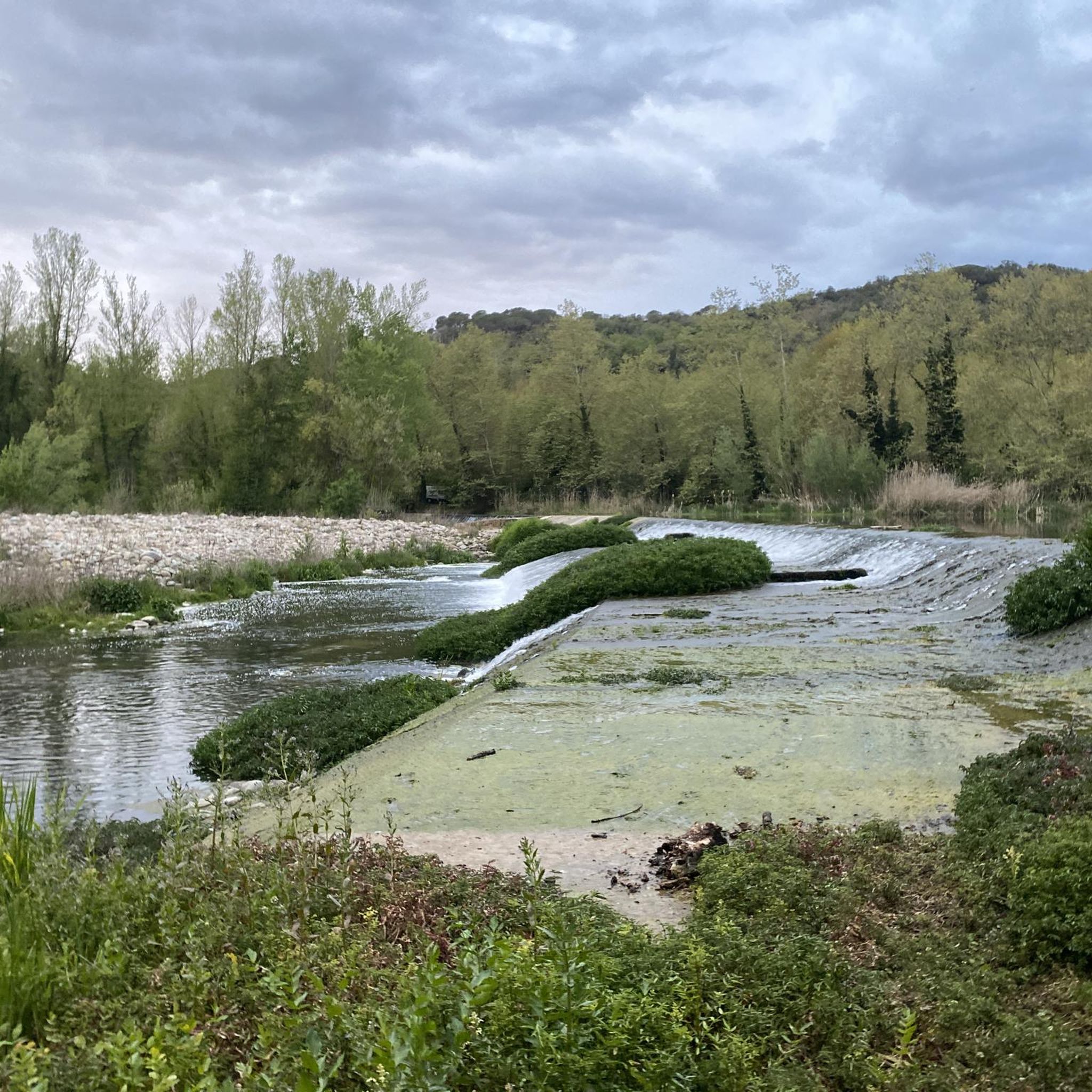
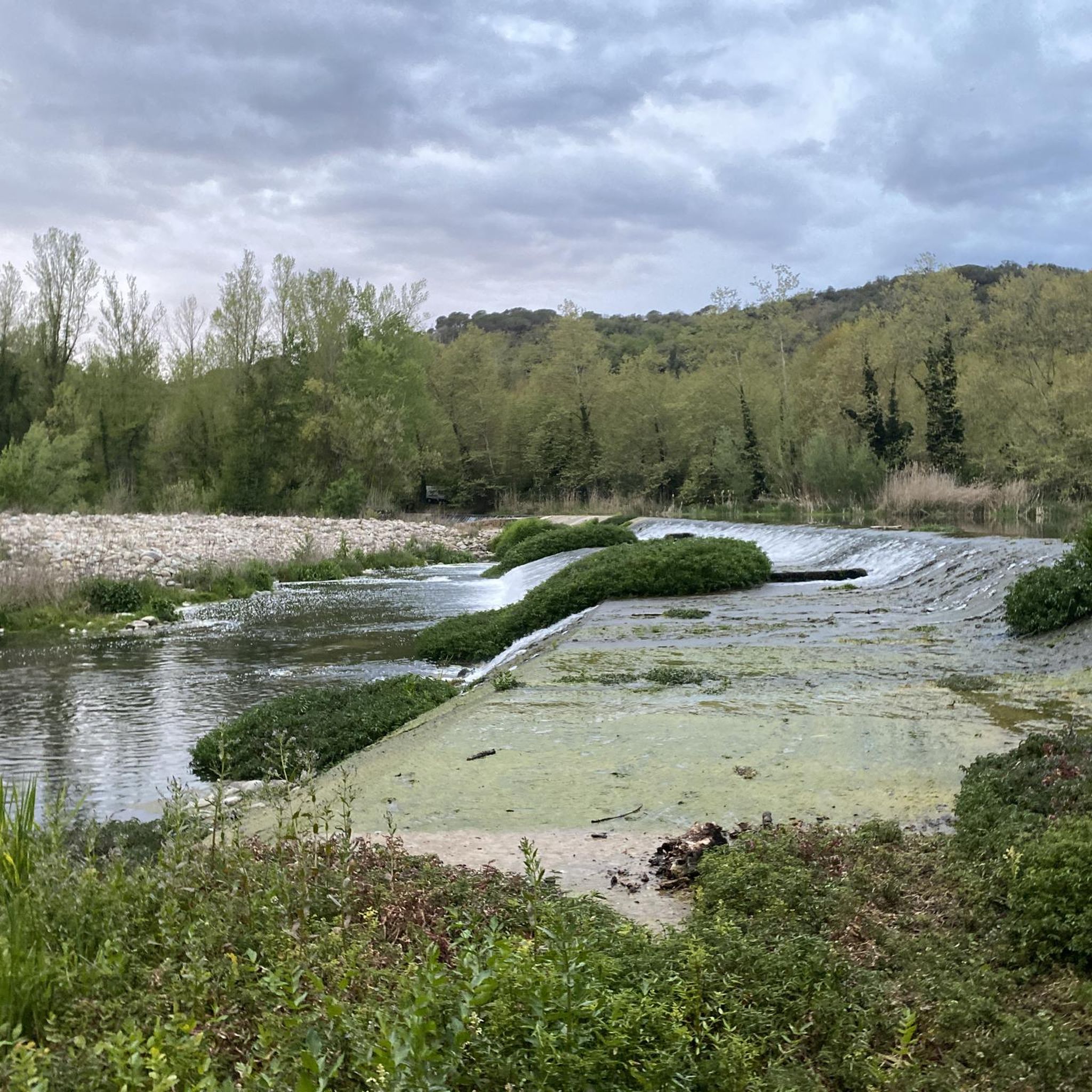
The Resclosa de Can Borra is an old reservoir that stored the water of the Onyar river for use in irrigation.
0
1
The Onyar river rises at the foot of the Guilleries massif (municipal term of Bescanó) and flows into the Ter river at the height of the Pedret neighborhood, in the city of Girona. The river collects water from different streams and torrents, circulating towards Girona through towns such as Brunyola, Vilobí d'Onyar, Riudellots de la Selva, Fornells de la Selva and Quart. As it passes through Vilobí d'Onyar, the river joins a recreation and walking area that runs from west to east.
0
1
Frequently Asked Questions
What kind of terrain can I expect on hikes around Bescanó?
Bescanó offers a diverse landscape for hiking. You'll find unique volcanic terrain around La Crosa Volcano, tranquil paths along the River Ter, and extensive wooded hills. The region features a varied topography of plains, river basins, plateaus, and foothills, providing a rich and engaging experience.
Are there family-friendly hiking options in Bescanó?
Yes, Bescanó has several easy routes suitable for families. For instance, the Hermitage of Sant Llop – Crosa Volcano loop is an easy 2.9-mile (4.6 km) trail that explores the significant La Crosa Volcano and the historic Hermitage of Sant Llop, perfect for a leisurely family outing.
Can I bring my dog on the hiking trails in Bescanó?
While specific regulations can vary, dogs are generally welcome on most hiking trails in the Bescanó area, especially if kept on a leash. It's always a good idea to check for any specific signage at trailheads, particularly within protected natural areas like La Crosa Volcano, to ensure compliance with local guidelines.
Are there many circular hiking routes available in Bescanó?
Yes, many of the hiking routes in Bescanó are designed as loops, offering convenient starting and ending points. Examples include the Sant Llorenç Parish loop and the Resclosa de Can Borra – Les Guilloteres loop, allowing you to explore the diverse landscapes without retracing your steps.
Is parking available at the trailheads, or can I use public transport?
Parking is generally available at or near the main trailheads, especially for popular routes like those around La Crosa Volcano. For public transport, Bescanó town is accessible, but options to reach specific trailheads outside the town might be limited. Planning your journey in advance is recommended.
What natural landmarks or points of interest can I see while hiking?
Bescanó is rich in natural landmarks. The most prominent is La Crosa Volcano, featuring the largest crater on the Iberian Peninsula. You can also explore the tranquil banks of the River Ter, which are ideal for birdwatching. Additionally, the region is part of the Ruta de Carrilet, a greenway offering scenic views.
Are there any waterfalls or gorges to discover near Bescanó?
Yes, the broader region around Bescanó offers some beautiful natural features. You can find gorges such as the Gorges of the Font de la Torre and the Gorg del Diable, which also features the Gorg del Diable Waterfall, providing picturesque spots for hikers.
What is the best time of year to go hiking in Bescanó?
The mild climate of the Gironès region makes Bescanó suitable for hiking throughout much of the year. Spring and autumn offer pleasant temperatures and vibrant scenery, while winter can provide crisp, clear days. Summer hiking is also possible, especially in the wooded areas, but it's advisable to start early to avoid the midday heat.
How many hiking trails are available in Bescanó?
There are over 18 hiking routes recorded in Bescanó, catering to various fitness levels. These include 6 easy trails and 12 moderate trails, ensuring options for both casual walkers and more experienced hikers.
What do other hikers enjoy most about hiking in Bescanó?
The hiking experience in Bescanó is highly rated by the komoot community, with an average score of 4.5 stars from over 900 reviews. Hikers often praise the unique volcanic landscapes, the tranquil riverside paths, and the extensive wooded hills that define the region's natural beauty.
Are there any historical sites or hermitages along the trails?
Yes, several trails incorporate historical elements. For example, the Hermitage of Sant Llop – Crosa Volcano loop takes you past the ruins of the Hermitage of Sant Llop, adding a historical dimension to your hike. The Sant Llorenç Parish loop also explores areas around the historic Sant Llorenç Parish.
Can I combine hiking with cycling in Bescanó?
Absolutely. Bescanó is located on the Ruta de Carrilet, a long-distance path converted from a disused railway line. This greenway is perfect for both hikers and cyclists, offering a smooth, vehicle-separated path that allows you to explore the region's natural beauty on foot or by bike.
Are there any easy routes that explore the volcanic landscape?
Yes, the Path Through Orchards – Les Guilloteres loop is an easy 1.7-mile (2.7 km) route that provides a gentle introduction to the area's unique volcanic features and surrounding landscapes, including crop fields and tree plantations within the crater.
Most popular attractions around Bescanó

Get inspired with the komoot mobile app


Explore more
Browse the best Hikes in other regions.
