The best walks and hikes around Santiago Del Tormes
4.7
(269)
2,931
hikers
59
hikes
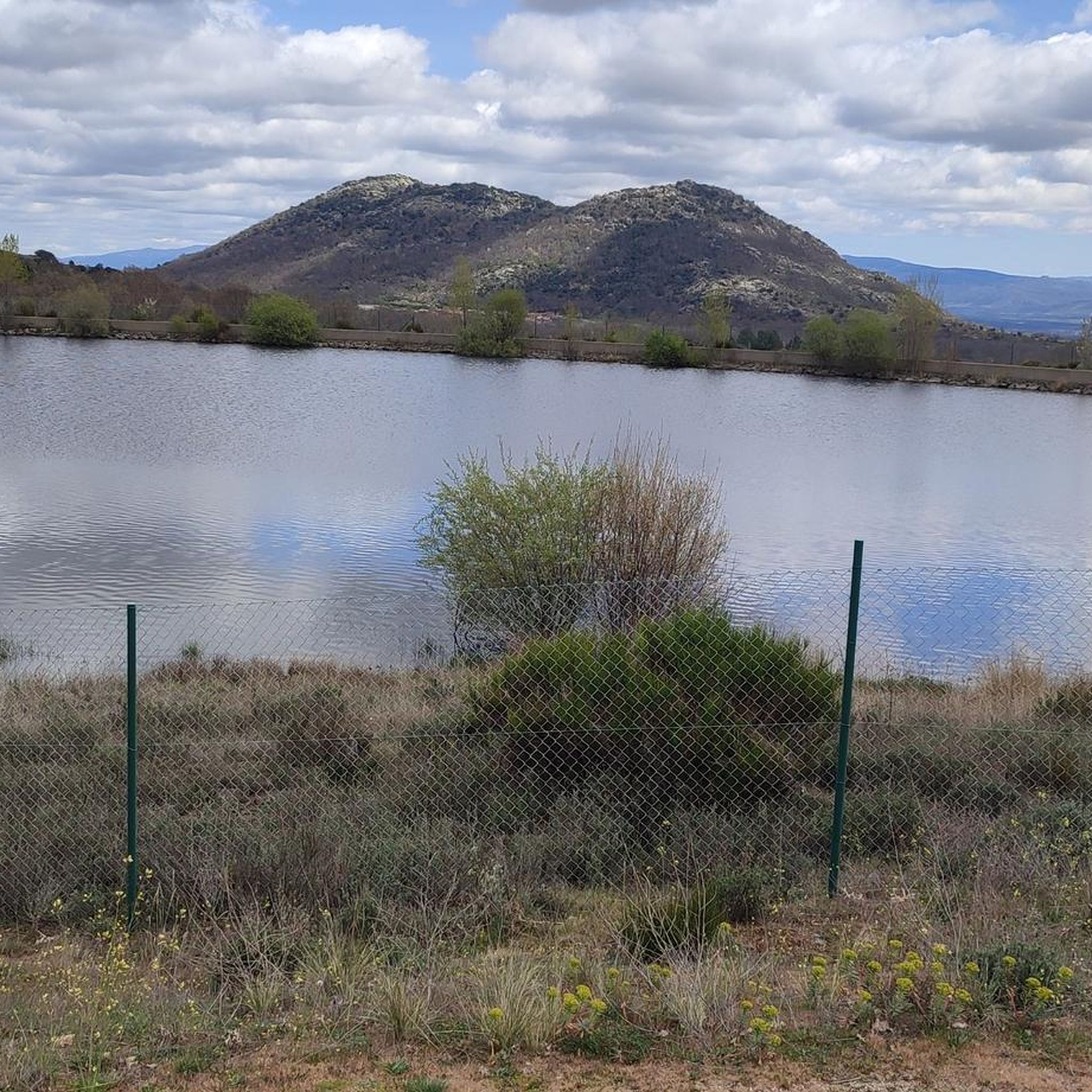
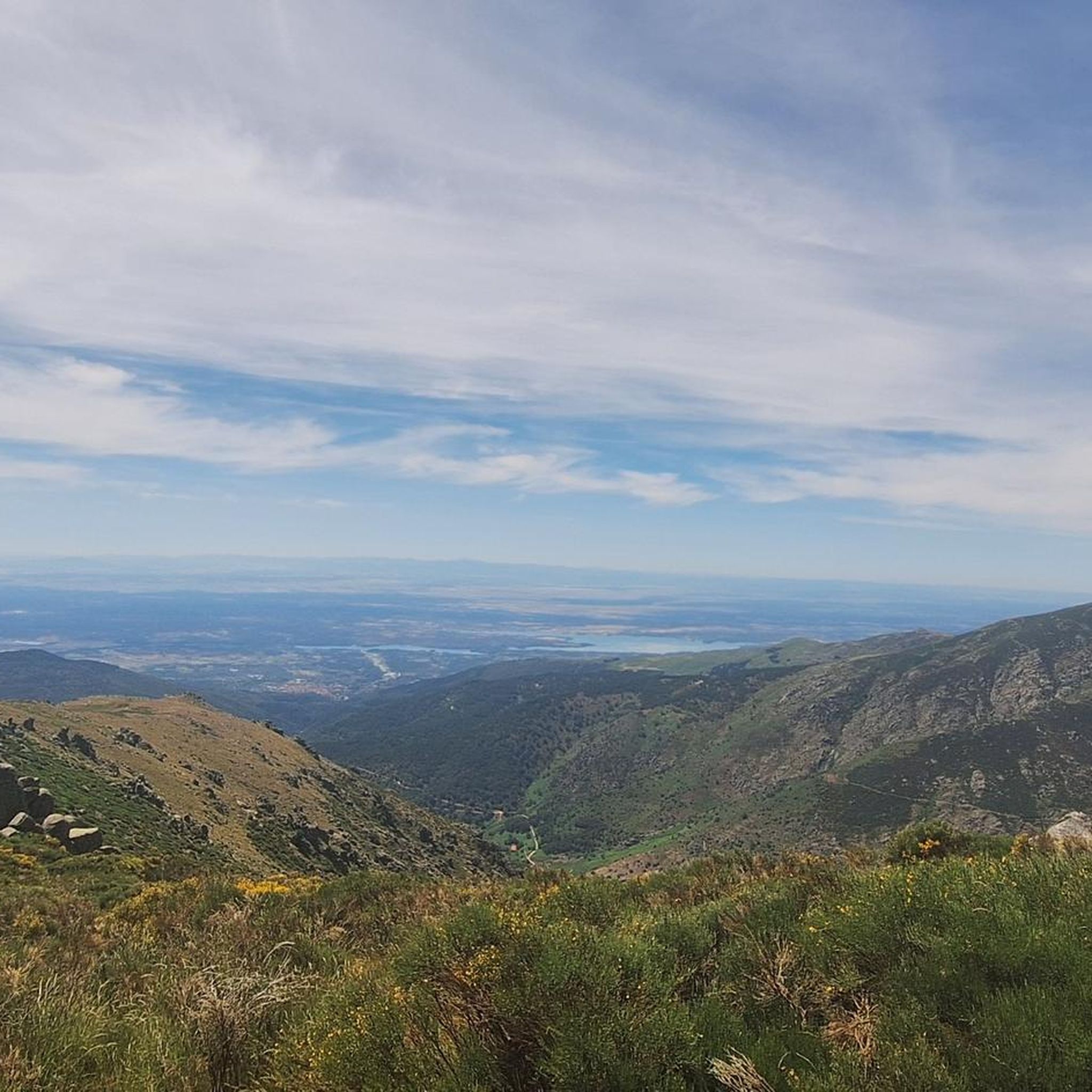
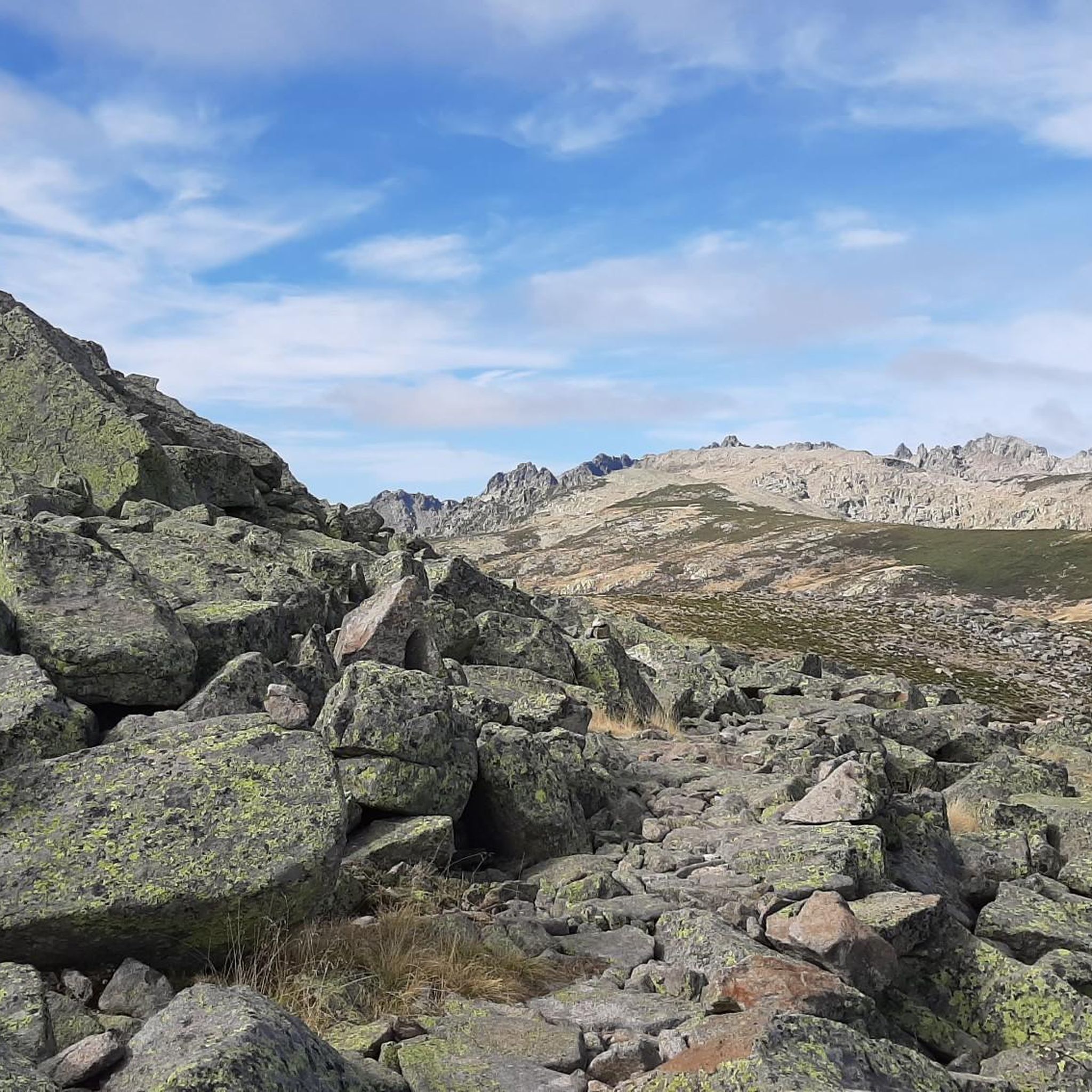
Hiking around Santiago Del Tormes offers access to diverse terrain within the province of Ávila, situated at the gateway to the Sierra de Gredos mountain range. The region features rocky peaks, glacial cirques, and the Tormes River Valley, providing varied landscapes for exploration. Prominent natural features include the Circo de Gredos with its Laguna Grande, and other glacial lagoons like Majalaescoba. Elevated locations over 1,300 meters high offer expansive views of the Tormes Valley and the Sierra de Béjar.
Best…
Last updated: July 8, 2026
9
hikers
29.7km
11:19
1,240m
1,240m
Hard hike. Very good fitness required. Mostly accessible paths. Sure-footedness required.
5.0
(1)
7
hikers
15.7km
05:49
700m
700m
Hard hike. Very good fitness required. Mostly accessible paths. Sure-footedness required.

Sign up for free
5.0
(8)
102
hikers
21.6km
08:02
770m
780m
Hard hike. Very good fitness required. Mostly accessible paths. Sure-footedness required.
5.0
(1)
8
hikers
5.22km
03:27
560m
560m
Hard hike. Good fitness required. Sure-footedness, sturdy shoes and alpine experience required.
5.0
(1)
4
hikers
Hard hike. Very good fitness required. Sure-footedness, sturdy shoes and alpine experience required.
Get access to more routes and recommendations from other explorers.
Sign up for free
Already have an account?
Our route recommendations are based on thousands of hikes, rides, and runs completed by other people on komoot.
Start today with a free account
Your next adventure awaits.
Login or Signup


Tips from the Community

The Refugio de la laguna Grande or Refugio Elola is situated in a strategic area, from here hikers have access to the highest peaks of Gredos such as Almanzor or La Galana.
1
0


Great high mountain refuge with all services
0
1

Numerous waterfalls in the Navamediana Gorge will accompany you along the path along the PR-AV 38 path to La Hoyuela in the Sierra de Gredos. Going up, the sound of the water will become more intense. The landscape is beautiful, you fall in love with its tranquility. Here you can feel the true connection with nature.
1
0
Las Hoyuelas is the end point of the Navamediana Gorge Path (PR-AV 38) that begins in the small town of Navamediana. Here you can enjoy the beautiful views of the heart of the Sierra de Gredos.
1
0
Mountain pass located right between the peaks Meapoco Oeste (2395 m) and Meapoco Este (2413 m).
2
0
Small stone shelter for 6 people in the heart of the Sierra de Gredos. Located at an altitude of 2123 meters, the perfect place to spend the night totally disconnected from the world.
2
0
Frequently Asked Questions
What kind of hiking terrain can I expect around Santiago Del Tormes?
The region offers diverse terrain, from the rugged, rocky peaks of the Sierra de Gredos to the winding Tormes River Valley. You'll encounter glacial cirques, high mountain passes, and serene valley paths. Elevations can exceed 1,300 meters, providing expansive views.
How many hiking trails are available in Santiago Del Tormes?
There are over 50 hiking routes around Santiago Del Tormes. These include a variety of options, with 6 easy, 19 moderate, and 30 difficult trails, catering to different skill levels and preferences.
Are there any easy or family-friendly hikes in Santiago Del Tormes?
Yes, Santiago Del Tormes offers 6 easy routes suitable for less experienced hikers or families. While specific family-friendly routes are not detailed, the Tormes River Valley provides opportunities for peaceful walks, and easier paths can be found among the 19 moderate trails.
What are some notable natural features or landmarks to see while hiking?
Hikers can explore the majestic Sierra de Gredos, including the prominent Circo de Gredos with its Laguna Grande de Gredos. Other highlights include the glacial Morezón Peak, the scenic Puerto de Candeleda, and the View of Circo de Gredos. The Tormes River itself also offers picturesque scenery.
What do other hikers enjoy most about the trails in Santiago Del Tormes?
The trails in Santiago Del Tormes are highly rated by the komoot community, with an average score of 4.8 stars from over 240 reviews. Hikers frequently praise the rugged peaks of the Sierra de Gredos, the diverse landscapes, and the challenging yet rewarding ascents.
Are there any challenging hikes for experienced trekkers?
Absolutely. The region is known for its demanding routes, with 30 difficult trails available. Examples include the Garganta de Bohoyo Trail, a challenging 29.7 km route, and the Navamediana Gorge Trail, which features significant elevation gain.
Can I find circular hiking routes in the area?
Yes, there are circular routes available. One notable example is the Pinar Gorge – North Pass of the Lagunas loop from Navalperal de Tormes, which is 20.9 km long and leads through the Pinar Gorge and towards high mountain passes.
What is the best time of year to go hiking in Santiago Del Tormes?
While specific seasonal advice isn't provided, the Sierra de Gredos region generally offers excellent hiking conditions during spring and autumn when temperatures are milder. Summer can be hot, especially at lower altitudes, while winter brings snow to higher peaks, suitable for experienced winter hikers.
Are there any specific peaks or mountain passes worth visiting?
The area boasts several impressive peaks and passes. Hikers can aim for iconic summits like Pico Almanzor and La Galana Peak. The Puerto de Candeleda offers spectacular views of the Barbedillo River and the Tiétar Valley, while the Peña Negra Pass is known for its regular slopes, making it a good ascent route.
Are there any glacial lagoons to explore?
Yes, the region is home to several glacial lagoons. The most prominent is the Laguna Grande de Gredos, located within the Circo de Gredos. Another beautiful glacial lagoon, Majalaescoba, is accessible via paths that climb granite cliffs, and can be part of routes extending to Cinco Lagunas.
What kind of views can I expect on the trails?
Hikers can expect spectacular panoramic views of the Sierra de Gredos, the Tormes Valley, the Aravalle, and the Sierra de Béjar. Elevated locations, often over 1,300 meters high, provide breathtaking vistas, particularly from mountain passes like the Puerto de Candeleda.
Are there any historical or cultural sites near the hiking areas?
Yes, the medieval town of El Barco de Ávila, located in the Alto Tormes region, serves as a gateway to the Sierra de Gredos. It offers a blend of history and natural beauty, including the historic Valdecorneja Castle which overlooks the Tormes River valley.
Most popular routes around Santiago Del Tormes
Most popular attractions around Santiago Del Tormes

Get inspired with the komoot mobile app


Explore more
Browse the best Hikes in other regions.
