The best MTB trails around Getafe
4.4
(190)
1,304
riders
42
rides
Mountain biking around Getafe offers diverse terrain, characterized by the natural landscapes surrounding the city. The region features the Manzanares River and its Linear Park, providing extensive trails through riparian forests and meadows. Riders can also explore the pine forests of Cerro de los Ángeles and the more rugged gypsum cliffs and ravines of Cortados del Jarama. These varied environments, including parks like Polvoranca, create a compelling destination for outdoor enthusiasts.
Best mountain bike trails around Getafe
- The most popular…
Last updated: October 13, 2026
4.5
(44)
218
riders
44.0km
02:42
230m
230m
Moderate mountain bike ride. Good fitness required. Suitable for all skill levels.
4.8
(10)
118
riders
54.8km
04:09
370m
370m
Moderate mountain bike ride. Good fitness required. Suitable for all skill levels.

3.8
(20)
92
riders
28.1km
02:01
150m
150m
Moderate mountain bike ride. Good fitness required. Suitable for all skill levels.
4.6
(14)
80
riders
64.5km
04:24
400m
400m
Moderate mountain bike ride. Good fitness required. Suitable for all skill levels.
4.5
(10)
69
riders
80.7km
05:09
320m
320m
Hard mountain bike ride. Very good fitness required. Suitable for all skill levels.
Get access to more routes and recommendations from other explorers.
Already have an account?
Our route recommendations are based on thousands of hikes, rides, and runs completed by other people on komoot.
Start today with a free account
Your next adventure awaits.

Tips from the Community

Located on the edge of the Vega del Jarama escarpment via the Los Cantiles path at an altitude of 671 meters above sea level is the geodetic vertex No. 56000 Campillo. Geodetic vertices establish functional points with very precise coordinates of longitude, latitude, and height, making them reference elements for subsequent calculations of all kinds. Rivas Vaciamadrid has three third-order geodetic vertices within its municipal area, named ‘Rivas’ (located on Cerro del Telégrafo, in the environment where the old telegraph tower and the municipality's old gliders school were situated), ‘Campillo’ (in the homonymous lagoon, on the edge of an escarpment in wasteland, at 671 meters above sea level), and ‘Coberteras’ (on the Casa Eulogio estate, in wasteland on Cabezo Alto de las Viñas). All are concrete pillars one meter square at the base and a cylindrical pillar 1.20 meters high and 30 centimeters in diameter. The first was installed in 1974 and the other two in 1976.
0
0

Before reaching this point, there is a sign indicating no passage. It is not clear to me if you can pass through there, and then turn right onto the path that goes along the river
0
0

The Buenavista hill is a witness hill of 704 meters altitude located on the border of the municipal terms of Leganés and Getafe, about 12 km to the south
0
0

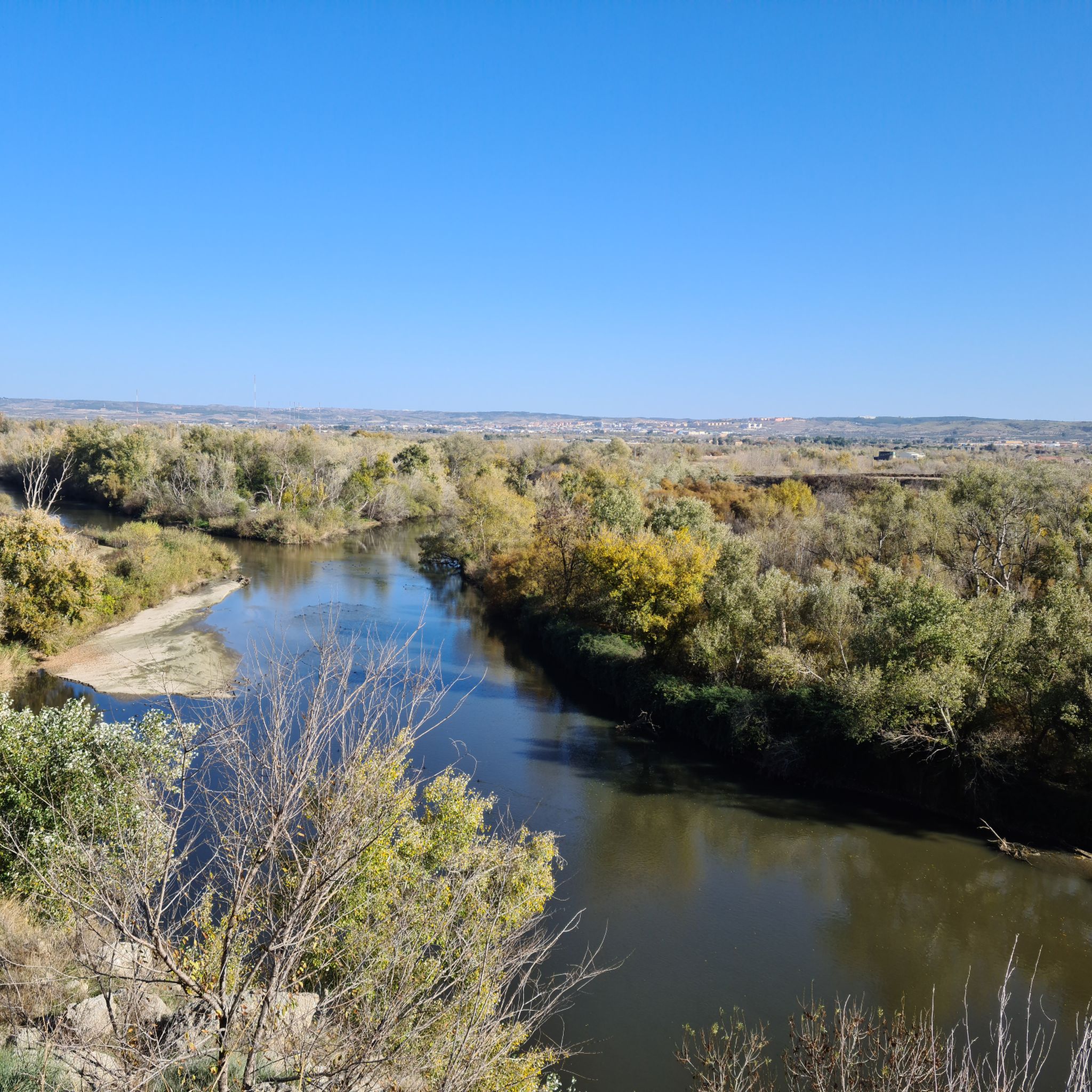
Views of the Jarama River and the cliffs with some machine gun nests from the Civil War.
0
0

There are many paths for your tours.
0
1
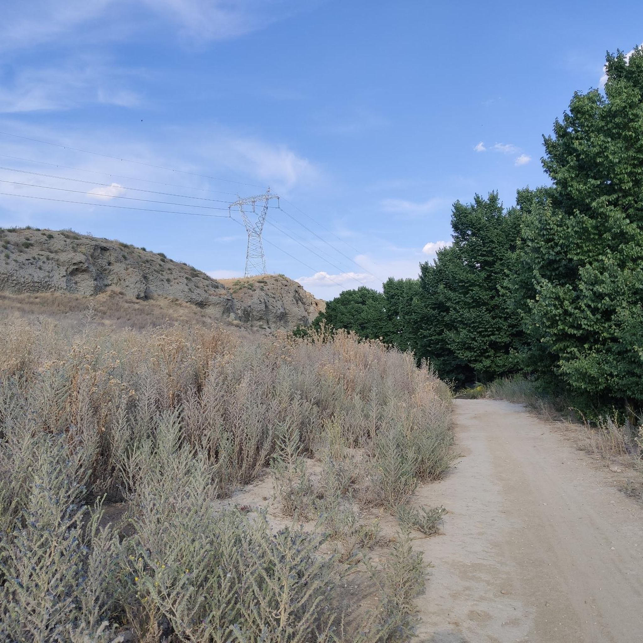
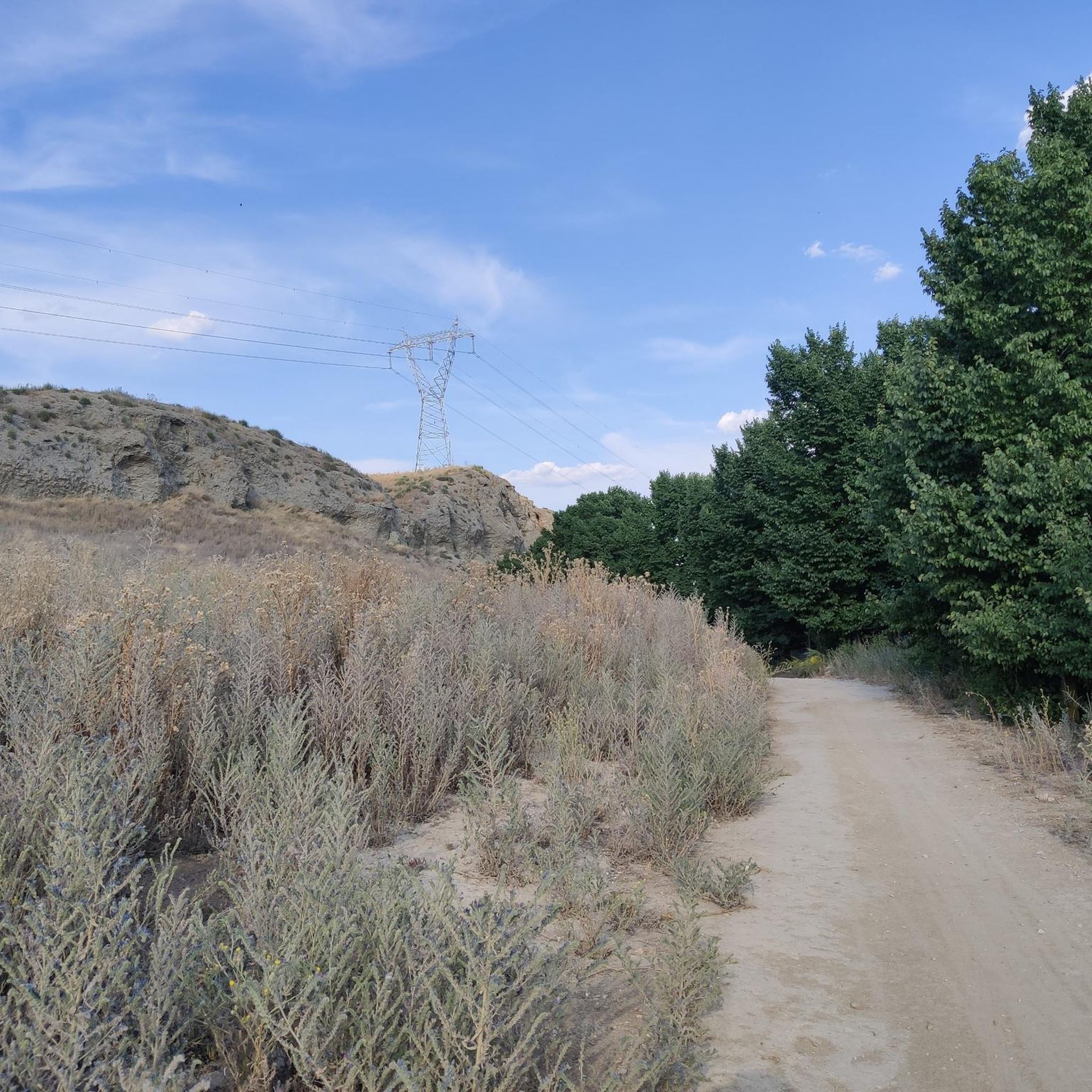
Flat areas, if you go slightly off-track you might encounter some elevation changes
0
0

This lagoon is artificial, created from the extraction of aggregates in the Jarama River basin during the 1960s and 1970s. It is an ideal place to enjoy nature, hike, or cycle. The lagoon's perimeter measures approximately 5.5 km, and its average depth is 6 meters, although in some areas it can reach 20 meters. It also has a natural resources interpretation center that organizes workshops and educational activities.
2
0
The Campillo Lagoon is located in Rivas Vaciamadrid, within the Southeast Regional Park, about 20 km from Madrid. It is a protected natural area, ideal for peaceful walks and outdoor activities. Origin: Artificial, formed in the 1960s and 70s after the extraction of aggregates in the Jarama River basin. Water from the aquifer filled the excavations and over time became a wetland with great biodiversity.
3
0
Frequently Asked Questions
What types of mountain bike trails can I find around Getafe?
Getafe offers a diverse range of mountain bike trails, from riverside paths along the Manzanares River to the pine forests of Cerro de los Ángeles and the more rugged gypsum cliffs and ravines of Cortados del Jarama. You'll find routes suitable for various skill levels, combining natural trails with some paved sections.
Are there mountain bike trails suitable for beginners or families in Getafe?
Yes, Getafe has 13 easy mountain bike routes perfect for beginners or family outings. These trails generally feature less elevation gain and smoother terrain, allowing for a more relaxed riding experience. While specific family-friendly routes aren't detailed, the easier options are a great starting point.
What are some moderate mountain bike routes in the Getafe area?
For those seeking a moderate challenge, Getafe offers 24 routes. A popular choice is the María Pascuala Lagoon – Polvoranca Park Lake loop from Arroyo Culebro, which is 38 km long and explores serene water bodies and parkland. Another option is the Airplane Roundabout – PERALES DEL RÍO loop from Los Espartales, a 35.6 km route.
Are there challenging mountain bike trails for experienced riders in Getafe?
Yes, Getafe features 5 difficult mountain bike routes for experienced riders. One such route is the Ravine – CORTADOS DEL JARAMA loop from Juan de la Cierva. This 49.9 km trail leads through ravines and gypsum cliffs, featuring significant elevation changes and requiring good physical fitness and experience.
What is the best time of year for mountain biking in Getafe?
The mild spring and autumn weather in Getafe makes these seasons ideal for mountain biking. The temperatures are comfortable for outdoor activities, and the natural landscapes are particularly beautiful. While possible, summer can be hot, and winter might bring cooler temperatures, so spring and autumn offer the most pleasant conditions.
Are there any circular mountain bike routes around Getafe?
Many of the mountain bike routes around Getafe are circular, offering convenient starting and ending points. Examples include the María Pascuala Lagoon – Polvoranca Park Lake loop and the Manzanares River – Toledo Bridge loop, both providing a complete loop experience.
What natural attractions or viewpoints can I see along the mountain bike trails?
Along the mountain bike trails, you can explore various natural attractions. The Manzanares River Linear Park offers views of riparian forests and gypsum cliffs. You might also encounter highlights such as the Jarama Cliffs or the Campillo Lagoon. Some routes also pass through the pine forests of Cerro de los Ángeles, offering scenic vistas.
What do other mountain bikers say about the trails in Getafe?
The mountain bike trails around Getafe are highly rated by the komoot community, with an average score of 4.4 stars from over 230 reviews. Riders often praise the varied terrain, from serene parklands to challenging ravines, and the well-maintained paths that make for an enjoyable experience.
Are there any routes that connect Getafe to larger parks like Casa de Campo?
Yes, some routes from Getafe extend to larger urban parks. For instance, the Lake of Casa de Campo – Toledo Bridge loop from Alonso de Mendoza is a 49.3 km route that allows you to cycle from Getafe towards the extensive green spaces of Casa de Campo, offering a blend of urban and natural landscapes.
What kind of landscapes define mountain biking in Getafe?
Mountain biking in Getafe is characterized by a mix of landscapes. You'll find routes along the Manzanares River with riparian forests and meadows, through the pine forests of Cerro de los Ángeles, and across the rugged gypsum cliffs and ravines of Cortados del Jarama. Parks like Polvoranca also offer serene environments with water bodies.
How long do mountain bike trails typically take to complete in Getafe?
The duration of mountain bike trails in Getafe varies depending on the route's length and difficulty. For example, a moderate 38 km route like the María Pascuala Lagoon – Polvoranca Park Lake loop typically takes around 2 hours 49 minutes, while a longer 49.9 km route such as the Ravine – CORTADOS DEL JARAMA loop can take about 3 hours 47 minutes.
Most popular attractions around Getafe

Get inspired with the komoot mobile app


Explore more
Browse the best MTB trails in other regions.
