The best MTB trails around Catoira
4.8
(64)
1,046
riders
16
rides
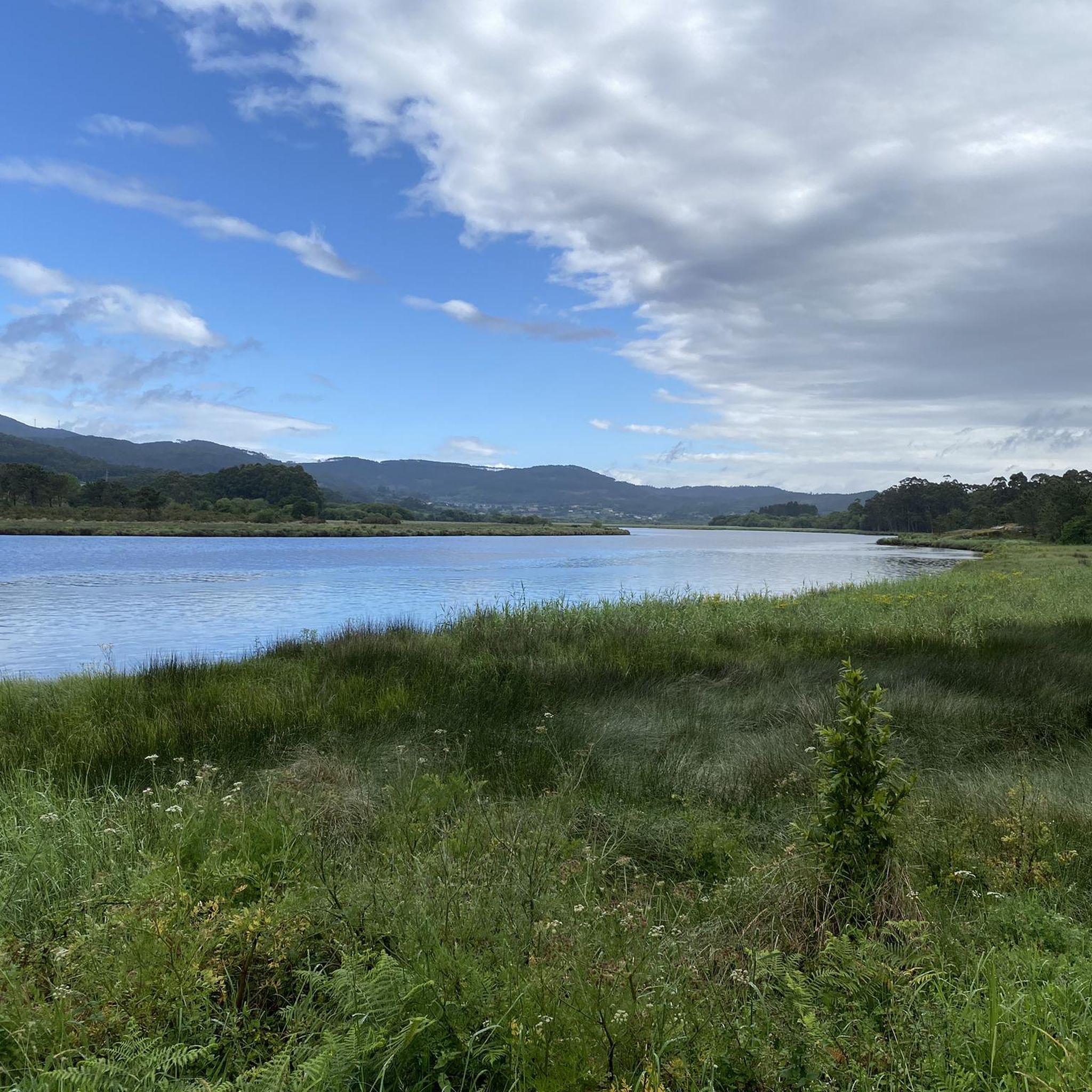
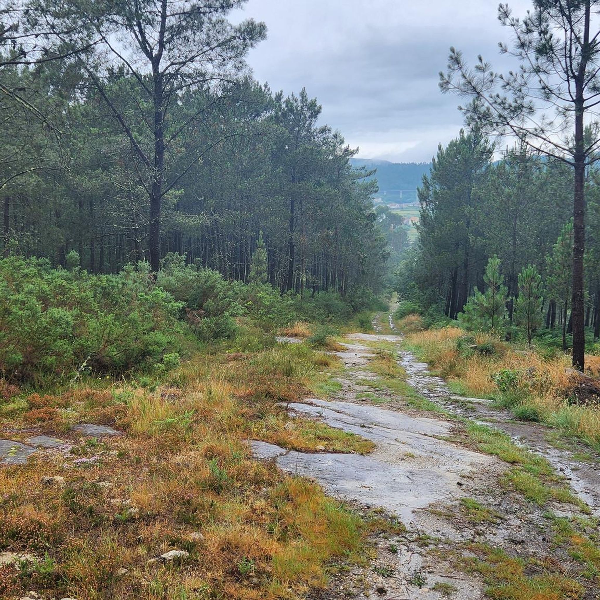
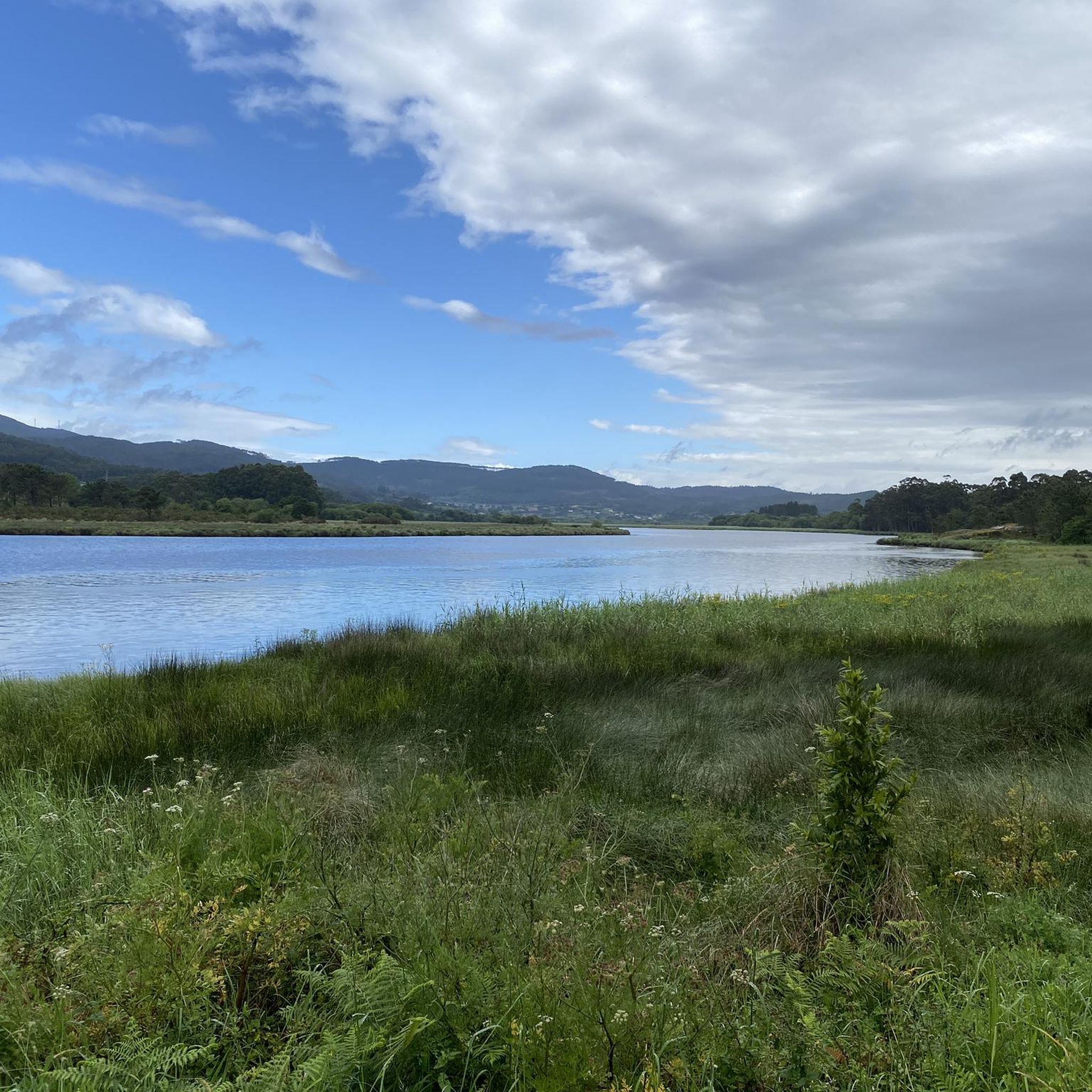
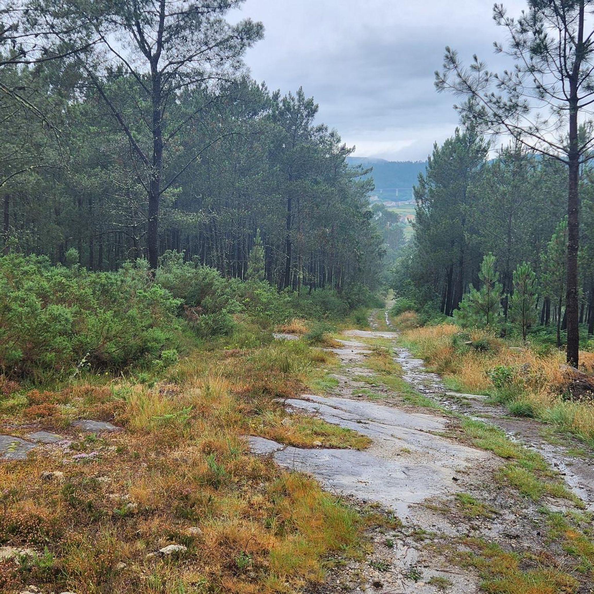
Mountain bike trails around Catoira traverse a diverse landscape at the mouth of the Ulla River, where it meets the Arousa Estuary. The region features extensive riverine environments, including the Ulla River and its tributaries, offering varied elevations and riparian forests. Hilly terrain, originating from the foothills of the Xiabre mountains, provides climbs and descents through thick forests of pine and eucalyptus. Several natural viewpoints offer panoramic vistas of the estuary and surrounding areas, enhancing the mountain biking experience.
Best…
Last updated: October 5, 2026
21
riders
27.5km
01:40
130m
130m
Easy mountain bike ride. Great for any fitness level. Suitable for all skill levels.
5.0
(1)
15
riders
46.4km
04:40
1,170m
1,170m
Hard mountain bike ride. Very good fitness required. Suitable for all skill levels.

5.0
(2)
10
riders
37.0km
03:21
710m
710m
Moderate mountain bike ride. Good fitness required. Suitable for all skill levels.
5
riders
60.3km
05:12
1,070m
1,070m
Hard mountain bike ride. Very good fitness required. Suitable for all skill levels.
6
riders
31.3km
03:10
800m
800m
Moderate mountain bike ride. Good fitness required. Suitable for all skill levels.
Get access to more routes and recommendations from other explorers.
Already have an account?
Our route recommendations are based on thousands of hikes, rides, and runs completed by other people on komoot.
Start today with a free account
Your next adventure awaits.

Tips from the Community

picnic area by the water with a view of the bridges
0
0


Viaduct of the Atlantic High Speed Line. A marvel of Spanish engineering
0
0

The bridge in Patron is very historic.
1
0

The boat passes the ruins of the historic Castellum Honesti fortress, which is a protected national monument. The fortress was built in the 12th century at the behest of Archbishop Gelmirez to prevent the passage of Vikings and Saracens on their way to Santiago de Compostela. Six centuries later, in the 18th century, it was also used to defend against English troops.
3
0
Frequently Asked Questions
How many mountain bike trails are available in Catoira?
Catoira offers a wide selection of mountain bike trails, with over 100 routes recorded on komoot. These routes cater to various skill levels, from easy to difficult, ensuring there's something for every rider.
What kind of terrain can I expect on mountain bike trails in Catoira?
Mountain bike trails in Catoira feature a diverse landscape. You'll encounter extensive riverine environments along the Ulla River and its tributaries, offering varied elevations and riparian forests. The region also boasts hilly terrain from the foothills of the Xiabre mountains, providing climbs and descents through thick forests of pine and eucalyptus.
Are there any easy mountain bike trails suitable for beginners in Catoira?
Yes, Catoira has a few easy mountain bike trails, with 5 routes specifically categorized as easy on komoot. These are great for beginners or those looking for a more relaxed ride through the scenic landscape.
Are there challenging mountain bike routes for experienced riders in Catoira?
Absolutely. For experienced mountain bikers seeking a challenge, Catoira offers 32 difficult routes. One such demanding trail is the View of the Ria – Start of the singletrack loop from Vilagarcía de Arousa, which covers 63.5 km with significant elevation changes.
What do other mountain bikers enjoy most about riding in Catoira?
The mountain bike routes in Catoira are highly rated by the komoot community, with an average score of 4.6 stars from over 60 reviews. Riders often praise the diverse terrain, from riverine paths to challenging forest climbs, and the stunning panoramic views from various viewpoints.
Are there any scenic viewpoints along the mountain bike trails in Catoira?
Yes, Catoira is known for its natural viewpoints. The Monte Meda viewpoint offers panoramic vistas of O Barbanza and the regions of Ulla and O Salnés. Another viewpoint on Mirador da Ría avenue provides excellent views of the Ulla River's mouth into the Arousa estuary, perfect for a scenic break during your ride.
Can I find any waterfalls near the mountain bike trails in Catoira?
Yes, there are beautiful waterfalls in the vicinity that you might want to explore. Notable ones include the Valga Mills Waterfall, Raxoi Waterfalls, and the Small Waterfall Between the Mills. These can be a refreshing stop during or after your ride.
Are there any historical or cultural attractions to see while mountain biking in Catoira?
Catoira and its surroundings offer several interesting attractions. You can visit historical sites like the Santa Mariña de Carracedo Church or the The Pedrón (Church of Saint James of Padrón). The region is also known for the historical 'Torres do Oeste' (West Towers) and the 'Viking Pilgrimage' festival, which are often integrated into the natural settings accessible via outdoor routes.
Are there any circular mountain bike routes in Catoira?
Many of the mountain bike routes in Catoira are designed as loops, allowing you to start and end at the same point. For example, the Green Route – Azucarera de Portas loop from Vilagarcía de Arousa is a popular moderate option that winds through green landscapes.
What is the best time of year for mountain biking in Catoira?
The region of Galicia, where Catoira is located, generally offers pleasant conditions for mountain biking outside of the peak summer heat and heavy winter rains. Spring and autumn provide mild temperatures and lush landscapes, making them ideal for exploring the trails.
Are there any routes that pass by the Pedras Miúdas Lake?
While specific routes passing directly by Pedras Miúdas Lake are not detailed, the lake, located in Outeiro da Vila, is a unique natural attraction showcasing nature's regenerative capacity. Many local routes traverse diverse natural settings, and you may find it accessible from nearby trails.
Can I find routes that combine river views with forest sections?
Yes, Catoira's landscape is characterized by the Ulla River and its tributaries, as well as dense forests. Many routes, such as the Roman Bridge over the Bermaña River – Green Route loop from Vilagarcía de Arousa, offer a mix of riverine environments and forested paths, providing varied scenery throughout your ride.
Most popular attractions around Catoira

Get inspired with the komoot mobile app


Explore more
Browse the best MTB trails in other regions.
