The best walks and hikes around Soutomaior
4.4
(1770)
11,918
hikers
104
hikes
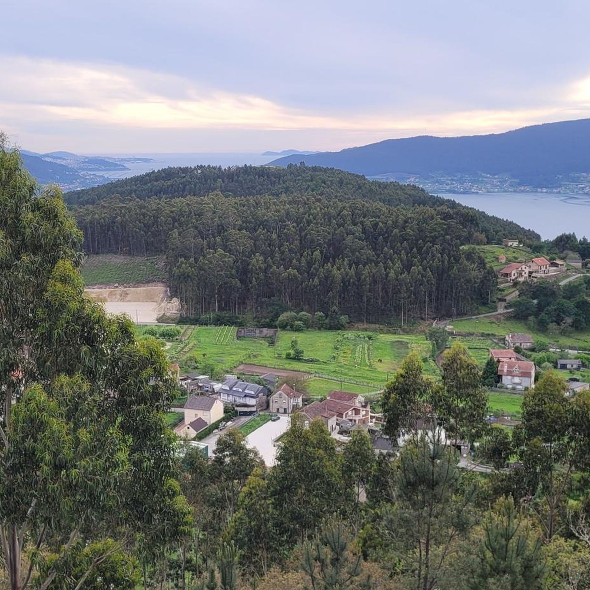
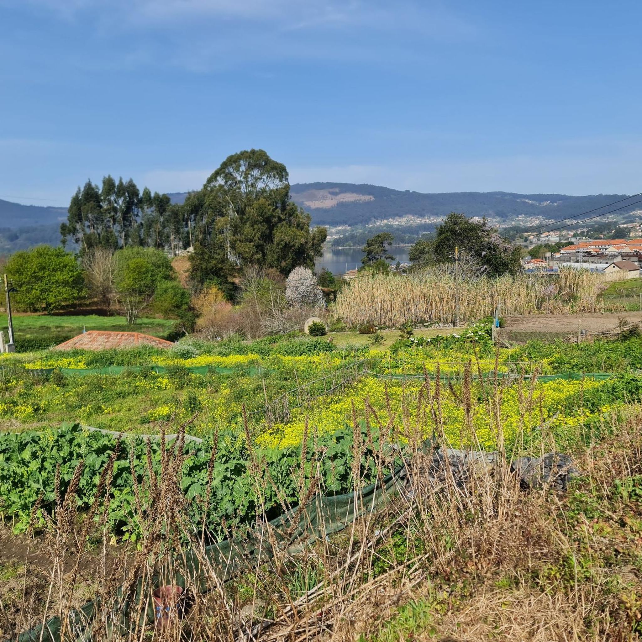
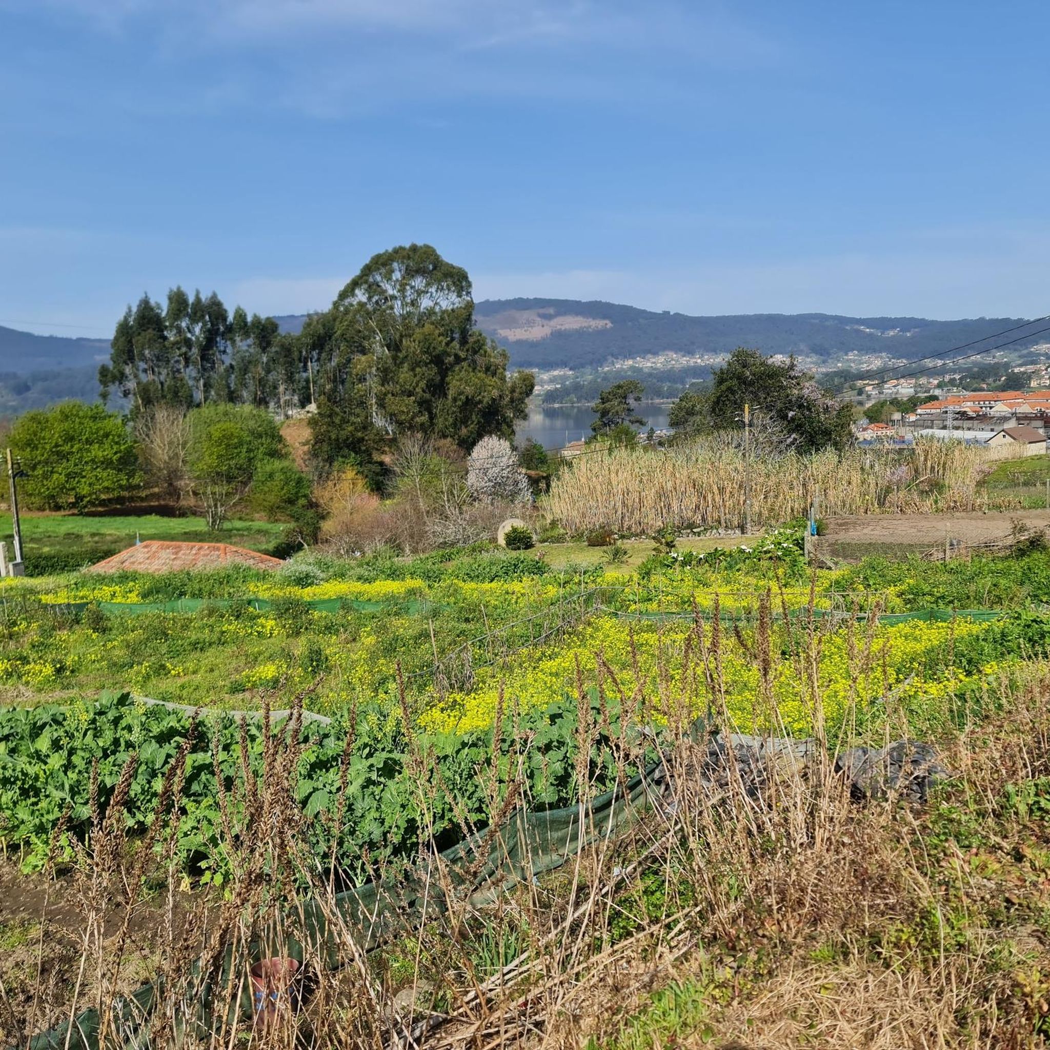
Hiking around Soutomaior offers diverse landscapes, influenced by the Suido mountain range, the Ría de Vigo, and significant river systems. The terrain features river valleys, including the Verdugo River and its tributaries, the Oitavén and Pequeno, which flow into the San Simón inlet. Forests with native species and eucalyptus contribute to the varied natural environment. This region provides a range of hiking experiences, from riverside paths to elevated viewpoints.
Best hiking trails around Soutomaior
- The most popular hiking route is Croa Trail, a 3.9 miles (6.3 km) trail that takes 1 hour 42 minutes to complete. This easy route allows for exploration of salt flats and offers views of Lake Castiñeiras.
- Another top favourite among local hikers is Soutomaior Castle and Monte Monzón Loop, a moderate 9.4 miles (15.1 km) path. This route features river bridges and panoramic vistas, including views of Soutomaior Castle.
- Local hikers also love the El Monte Monzón from Castillo de Soutomayor — circular, a 6.8 miles (11.0 km) trail leading through the Monte Monzón area, often completed in about 3 hours 15 minutes.
- Hiking around Soutomaior is defined by river valleys, mountain views, and the historical and botanical richness of Soutomaior Castle. The network offers options for different ability levels, from easy riverside walks to more challenging ascents.
- The routes in Soutomaior are highly rated by the komoot community with an average score of 4.5 stars from over 900 reviews. More than 6,500 hikers have used komoot to explore Soutomaior's varied terrain.
Last updated: October 10, 2026
3.7
(3)
5
hikers
6.30km
01:42
90m
90m
Easy hike. Great for any fitness level. Easily-accessible paths. Suitable for all skill levels.
4.0
(1)
2
hikers
15.1km
04:30
480m
490m
Moderate hike. Good fitness required. Easily-accessible paths. Suitable for all skill levels.

3.0
(1)
2
hikers
11.0km
03:15
330m
320m
Moderate hike. Good fitness required. Easily-accessible paths. Suitable for all skill levels.
1
hikers
Moderate hike. Good fitness required. Easily-accessible paths. Suitable for all skill levels.
11.7km
03:27
330m
330m
Moderate hike. Good fitness required. Easily-accessible paths. Suitable for all skill levels.
Get access to more routes and recommendations from other explorers.
Already have an account?
Our route recommendations are based on thousands of hikes, rides, and runs completed by other people on komoot.
Start today with a free account
Your next adventure awaits.

Other adventures around Soutomaior

Tips from the Community

Nearby there is also an area designated for swimming; these are also waters of the Verdugo River.
0
0

Good area for a bike ride
0
0


These granaries for drying grain are always beautiful to see. They are listed as historical monuments.
1
0


The most important detail of these granaries - which are always deliberately built on stilts - is the flat, plate- or lid-shaped end at the top of the supporting columns. This special feature of the construction of the "horreos" was vitally important in ancient times: these elements represent an insurmountable obstacle for voracious rodents such as rats or mice, and thus protect the harvest from these uninvited guests.
4
0

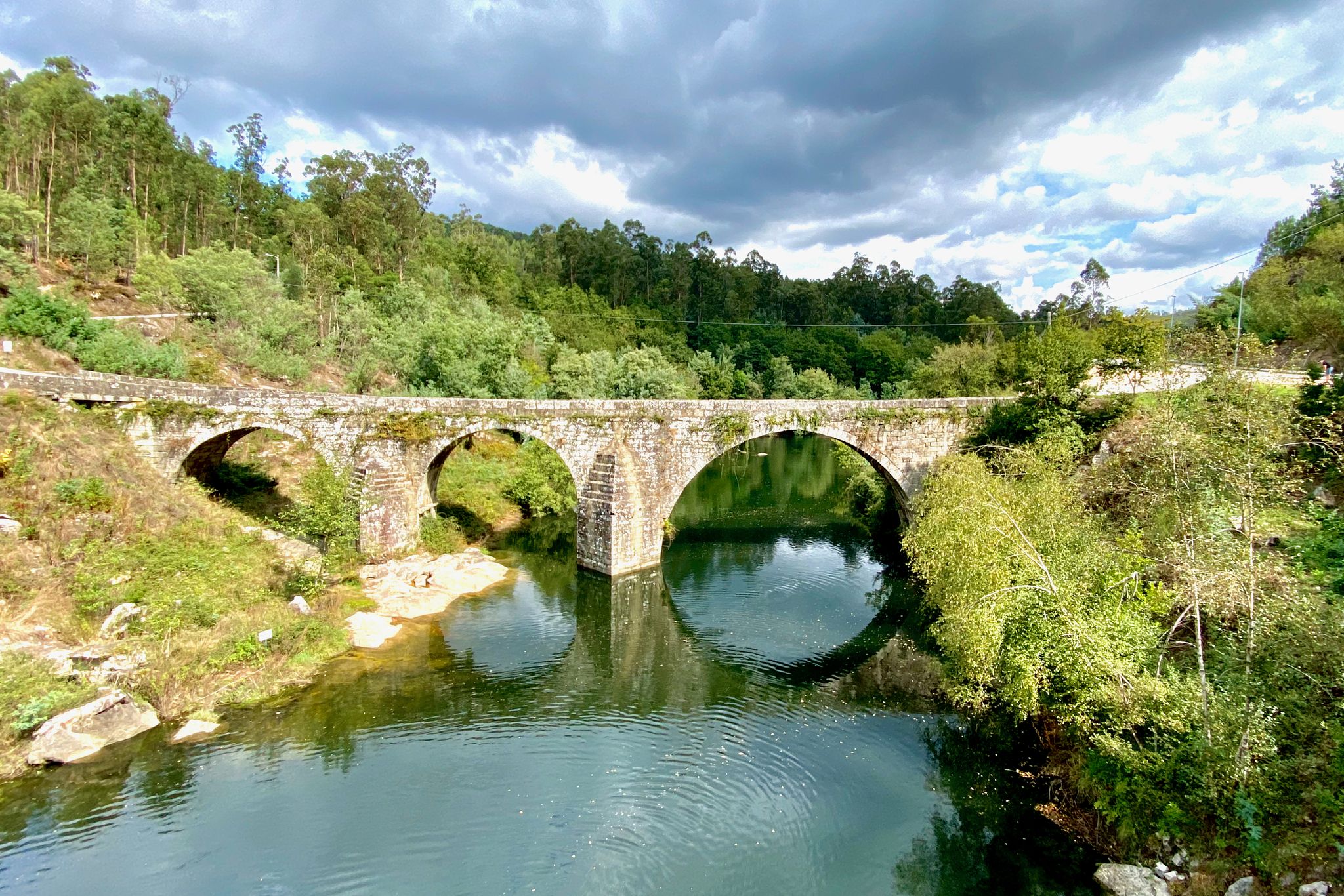
Built on an old Roman foundation, the bridge crosses the Verdugo river. It is 144 metres long and consists of 10 pointed and semi-circular arches. The famous Battle of Pontesampaio took place on 7 and 8 June 1809, which was decisive in the Spanish War of Independence against the French and ended the 5-month French occupation.
5
0

The Bridge of Ponte Sampaio, located in Pontevedra, is a historic bridge with significant cultural and historical importance. Also known as "Puente de Ponte Sampaio" in Spanish, this bridge played a crucial role in the Battle of Ponte Sampaio, a key engagement during the Peninsular War in 1809. The Battle of Ponte Sampaio took place on June 7 and 8, 1809, between the French and the Spanish-Portuguese forces. The bridge was a strategic point, and the Spanish-Portuguese forces, under General Nicolas Mahy, successfully defended it against the French troops led by Marshal Michel Ney. The Bridge of Ponte Sampaio stands as a symbol of the local resistance against the French invasion, and it is a site of historical and cultural significance in the region.
5
0
Frequently Asked Questions
How many hiking trails are there in Soutomaior?
Soutomaior offers a wide variety of hiking experiences with over 90 trails available. These routes cater to different fitness levels, from easy riverside strolls to more challenging ascents.
What types of landscapes can I expect to see while hiking in Soutomaior?
Hikers in Soutomaior will encounter diverse landscapes, including river valleys formed by the Verdugo, Oitavén, and Pequeno rivers, which flow into the San Simón inlet. The region also features forests with native species and eucalyptus, as well as elevated points offering views of the Ría de Vigo and the Suido mountain range.
Are there any easy hiking trails suitable for beginners or families?
Yes, Soutomaior has several easy trails. A great option is the Croa Trail, a 6.3 km route that allows you to explore salt flats and enjoy views of Lake Castiñeiras. There are 37 easy routes in total, providing plenty of choices for a gentler experience.
Can I find circular hiking routes in Soutomaior?
Yes, many trails in Soutomaior are circular. For example, the El Monte Monzón from Castillo de Soutomayor — circular is an 11.0 km loop through the Monte Monzón area, offering a complete experience without retracing your steps.
What historical landmarks or natural features can I explore on the trails?
Soutomaior is rich in historical and natural attractions. You can visit the historic Soutomaior Castle and its extensive botanical park, which boasts over 400 camellia specimens. The Mirador de Caritaina from the Puente de Sampaio route will take you past the historic Ponte Sampaio Bridge. You might also encounter natural features like the Waterfall on the Senda del Agua or the Ulló Salt Flats.
Are there any viewpoints with panoramic views along the hiking trails?
Yes, Soutomaior offers several scenic viewpoints. From elevated points like the Alto de O Viso, you can enjoy expansive views over the Ría de Vigo. The Soutomaior Castle and Monte Monzón Loop also features panoramic vistas. You can also find specific viewpoints such as the Viewpoint of Monte A Peneda.
What do other hikers say about the trails in Soutomaior?
The trails in Soutomaior are highly regarded by the komoot community, with an average rating of 4.5 stars from over 900 reviews. Hikers often praise the varied terrain, from river valleys to mountain views, and the historical richness of sites like Soutomaior Castle.
Are there any trails that pass by waterfalls?
Yes, you can find waterfalls along some trails. The Waterfall on the Senda del Agua is a notable natural feature that can be explored while hiking in the region.
Is Soutomaior part of any longer pilgrimage routes?
Yes, Soutomaior is part of the Portuguese Way of St. James, offering opportunities for multi-day trekking for experienced hikers who wish to undertake a pilgrimage.
What is the best time of year to go hiking in Soutomaior?
The region's climate generally allows for hiking throughout much of the year. However, the Río Tomeza Riverside Trail, for example, can be prone to flooding during the rainy season, so it's advisable to check local conditions, especially in autumn and winter.
Are there any trails that follow rivers?
Yes, the region is defined by its waterways. The Río Tomeza Riverside Trail offers a linear 4-kilometer route alongside the Tomeza River, characterized by forests and the sounds of water. The Verdugo River and its tributaries also provide picturesque settings for many trails.
Most popular routes around Soutomaior
Most popular attractions around Soutomaior

Get inspired with the komoot mobile app


Explore more
Browse the best Hikes in other regions.
