The best road cycling routes around Palacios Del Sil
4.5
(3)
542
riders
33
rides
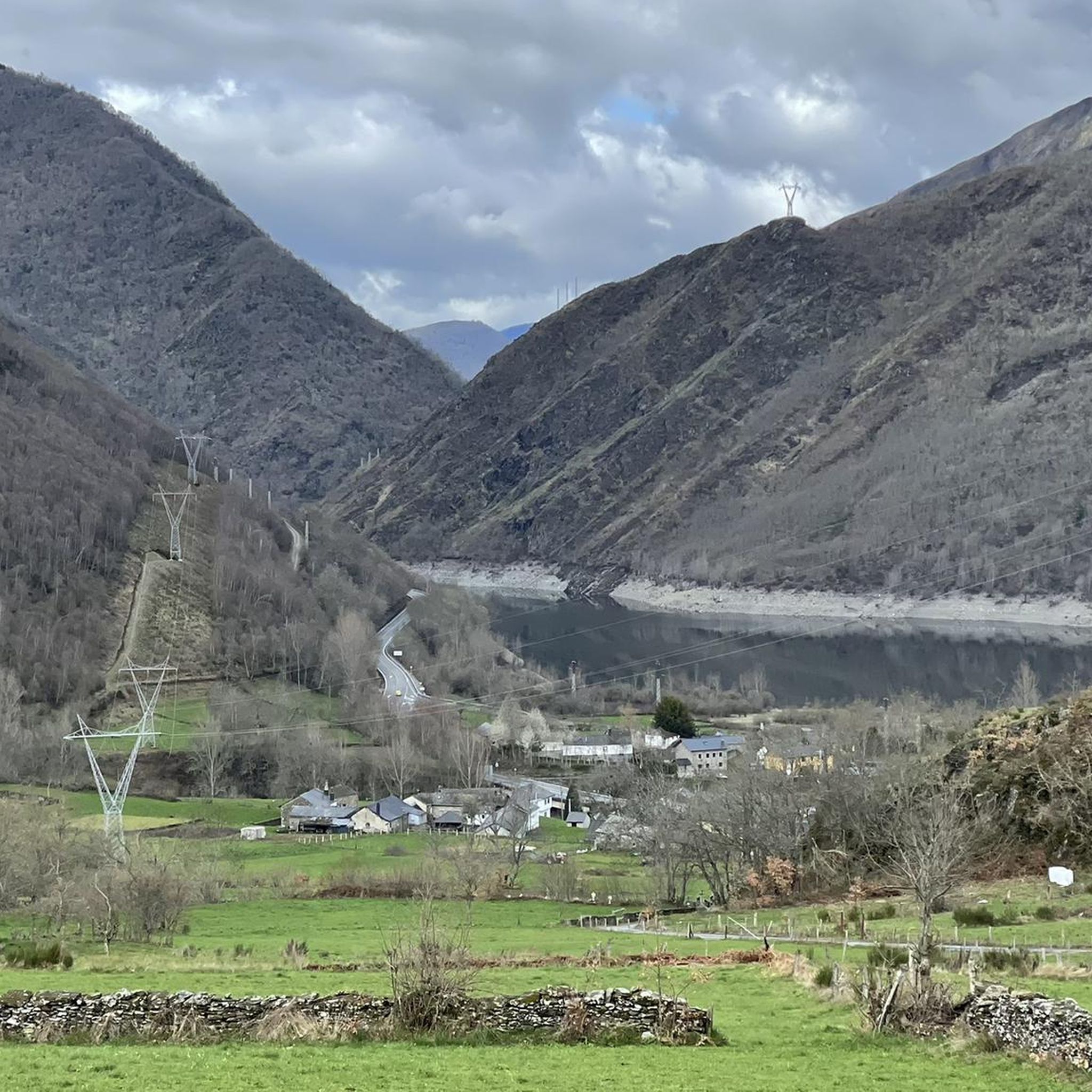
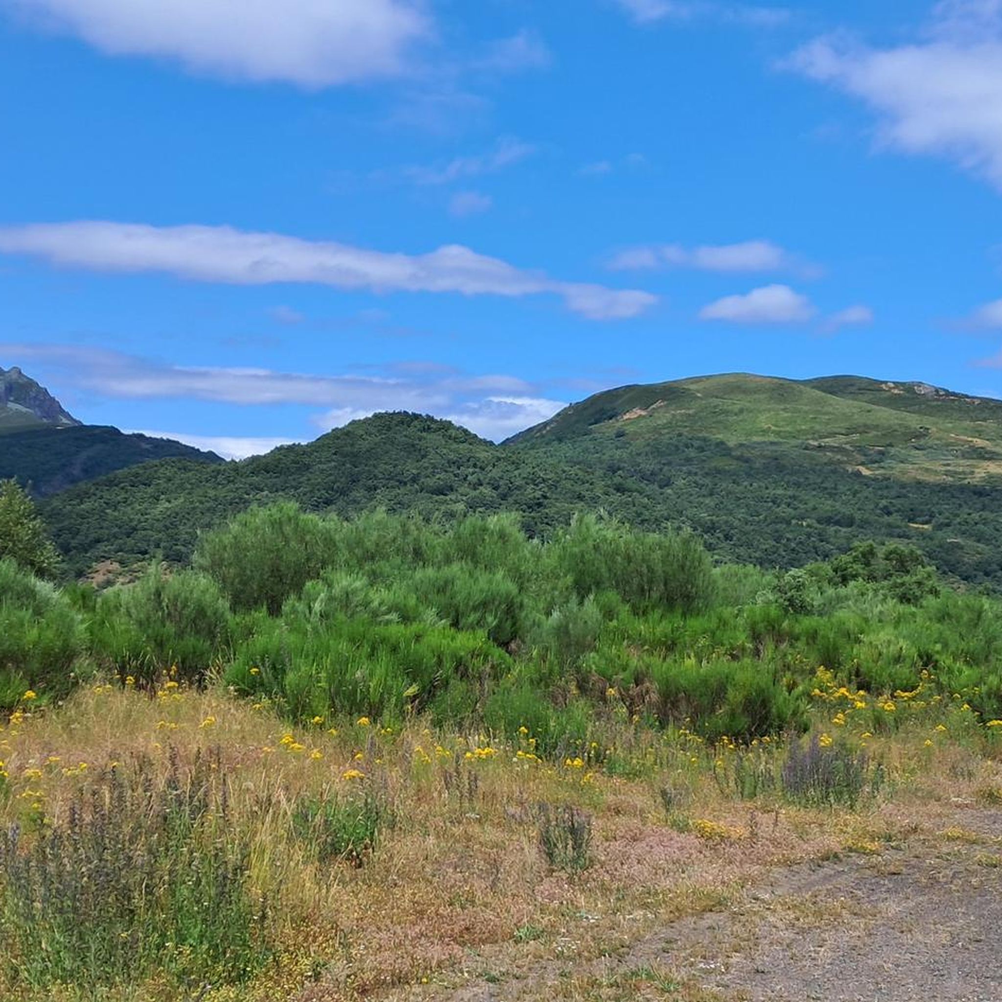
Road cycling around Palacios Del Sil offers challenging terrain within the mountainous landscape of Castilla y León. The region is characterized by a central valley formed by the Sil River, flanked by mountains reaching over 2,000 meters in altitude, such as Pico Catoute and Pico Nevadín. This area features significant elevation gains, making it suitable for cyclists seeking demanding routes through diverse flora including chestnut, birch, and oak trees.
Best road cycling routes around Palacios Del Sil
- The most popular…
Last updated: October 15, 2026
164km
07:48
2,290m
2,290m
Hard road ride. Very good fitness required. Mostly well-paved surfaces and easy to ride.
34
riders
78.8km
03:38
770m
770m
Moderate road ride. Good fitness required. Mostly well-paved surfaces and easy to ride.

32
riders
67.9km
03:05
730m
730m
Moderate road ride. Good fitness required. Mostly well-paved surfaces and easy to ride.
25
riders
84.6km
04:43
1,780m
1,780m
Hard road ride. Very good fitness required. Mostly well-paved surfaces and easy to ride.
19
riders
68.2km
03:45
1,430m
1,430m
Hard road ride. Very good fitness required. Mostly well-paved surfaces and easy to ride.
Get access to more routes and recommendations from other explorers.
Already have an account?
Our route recommendations are based on thousands of hikes, rides, and runs completed by other people on komoot.
Start today with a free account
Your next adventure awaits.
Tips from the Community

The restaurant and the whole area are a spectacle.
0
0

The view toward the village of La Peral is very beautiful if the weather is good. Slow down your bike a little and look up for a few seconds.
0
0

The Leitariegos Pass is a mountain pass located at an altitude of 1,520 meters in a beautiful natural setting. It's an ideal stopover point on the trails and has a bar and restaurant.
0
1

It's a really special place
0
0
An exceptional restaurant and bar where you can take advantage of a stop (whether it's hot or cold, rain or fog) and enjoy the delicacies of gourmet Asturian cuisine.
0
0
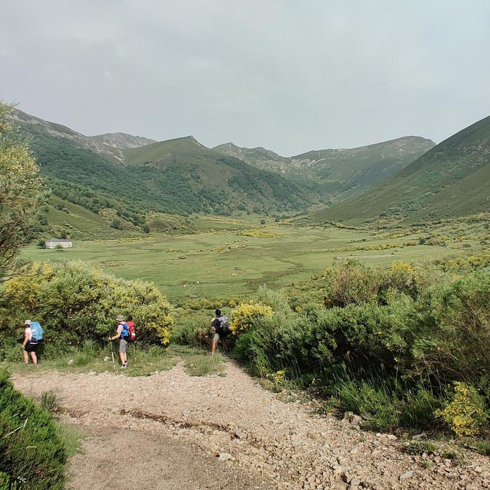
It is one of the best views you can have of the highest peak in the southwest, with its 2,002 meters of altitude. The views of the Cueto de Arbás and the Naviego valley are simply spectacular, one of the most iconic images of my life. So, if you decide to climb the Leitariegos pass, do not hesitate to stop here and enjoy this gem.
0
0

Frequently Asked Questions
How many road cycling routes are available around Palacios del Sil?
There are nearly 30 road cycling routes around Palacios del Sil available on komoot. These routes cater to various skill levels, with 13 classified as moderate and 16 as difficult, offering a range of challenges for cyclists.
What kind of terrain and elevation can I expect on road cycling routes in Palacios del Sil?
The region is characterized by a mountainous landscape with significant elevation gains, making it ideal for cyclists seeking a challenge. Routes often feature high mountain passes and river valleys, with some climbs reaching over 2,000 meters in altitude. For example, the Coal Mining Basins Loop from Villablino includes over 2,200 meters of ascent.
Are there any circular road cycling routes in the area?
Yes, many routes around Palacios del Sil are designed as loops, allowing you to start and finish in the same location. An example is the Las Rozas Reservoir – View of Villablino loop from Páramo del Sil, which offers scenic views and a moderate challenge.
What natural features or landmarks can I expect to see while cycling in Palacios del Sil?
Cyclists can enjoy diverse landscapes, including the central valley of the Sil River, flanked by prominent peaks like Pico Catoute and Pico Nevadín. The routes pass through abundant chestnut, birch, and oak trees, with ash, alder, willow, and poplar along riversides. You might also encounter features like the Gualta Waterfall or the Pico Catoute (2,117 m).
When is the best time of year for road cycling in Palacios del Sil?
Palacios del Sil experiences a generally humid climate with cold, long winters and short, warm summers. The best time for road cycling is typically during the warmer months, from late spring to early autumn, to avoid the colder winter conditions and fully enjoy the varied landscapes.
Are there any routes suitable for advanced road cyclists looking for a significant challenge?
Absolutely. Palacios del Sil is known for its challenging routes with substantial elevation gains. The Coal Mining Basins Loop from Villablino is a difficult 163.5 km route with over 2,200 meters of ascent, while the View of Villablino – Albergue Leitariegos loop from Villablino covers 85 km with over 1,800 meters of climbing.
What do other road cyclists enjoy most about cycling in Palacios del Sil?
The komoot community highly rates the road cycling experience in Palacios del Sil, with an average score of 5.0 stars. Cyclists often praise the challenging climbs, the stunning panoramic views from mountain passes, and the immersive natural beauty of the region's diverse flora and river valleys.
Are there any specific viewpoints along the road cycling routes?
Many routes offer rewarding viewpoints, especially from the higher mountain passes. The region's prominent peaks like Pico Catoute and Pico Nevadín provide sublime panoramic 360-degree views. The Las Rozas Reservoir – View of Villablino loop from Páramo del Sil specifically highlights a view of Villablino.
Can I find information about the local natural and cultural heritage in Palacios del Sil?
Yes, the Natural Interpretation Center in Palacios del Sil provides insights into the local natural and cultural heritage. This can be a great resource for understanding the area's unique ecosystems and history, including traditional 'brañas' (ancient summer settlements).
Are there any routes that pass through mountain passes?
Yes, the mountainous terrain of Palacios del Sil means many routes incorporate mountain passes. You can find highlights like Puerto de Leitariegos and Puerto de Cerredo, which are popular features on local cycling tours.
What is the typical duration for a road cycling route in this area?
Route durations vary significantly based on distance and elevation. Moderate routes like the Church of Matarrosa del Sil – View of Villablino loop from Villager de Laciana can take around 3 hours, while more difficult and longer routes, such as the Coal Mining Basins Loop from Villablino, can take over 7 hours to complete.
Most popular attractions around Palacios Del Sil

Get inspired with the komoot mobile app


Explore more
Browse the best Road cycling routes in other regions.
