The best road cycling routes around La Acebeda
4.5
(27)
3,574
riders
29
rides
Road cycling routes around La Acebeda are situated within the Sierra de Ayllón mountain range, offering a mountainous terrain with varied elevation changes. The region features extensive forests of oaks, ash trees, and pines, along with river valleys and notable geological formations. Cyclists can expect quiet roads that navigate through diverse ecosystems and challenging ascents.
Best road cycling routes around La Acebeda
- The most popular road cycling route is Montejo de la Sierra, Manjirón, Puebla de la Sierra – circular…
Last updated: October 15, 2026
4.6
(7)
757
riders
83.3km
04:41
1,640m
1,640m
Hard road ride. Very good fitness required. Some segments of this route may be unpaved and difficult to ride.
5.0
(2)
337
riders
61.5km
03:39
1,270m
1,270m
Hard road ride. Very good fitness required. Some segments of this route may be unpaved and difficult to ride.

5.0
(2)
341
riders
Hard road ride. Very good fitness required. Mostly well-paved surfaces and easy to ride.
3.0
(1)
40
riders
Moderate road ride. Good fitness required. Mostly well-paved surfaces and easy to ride.
5.0
(1)
24
riders
39.8km
02:07
730m
730m
Moderate road ride. Good fitness required. Mostly well-paved surfaces and easy to ride.
Get access to more routes and recommendations from other explorers.
Already have an account?
Our route recommendations are based on thousands of hikes, rides, and runs completed by other people on komoot.
Start today with a free account
Your next adventure awaits.


Tips from the Community

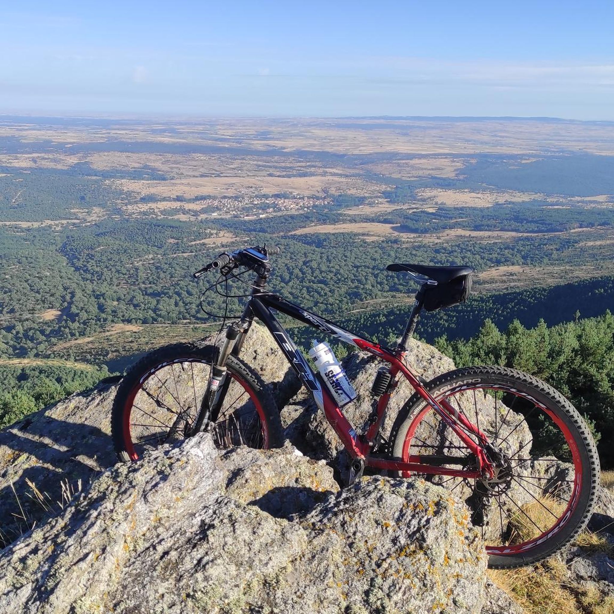
A very pleasant pass to climb up the Puebla de la Sierra side. To do this, you have to access it from Robledillo, with very steep ramps to warm up, and a few kilometers on a narrow and bumpy road. The views and the route are totally worth it. Avoid weekends, especially busy hours, as motorcycles, and especially cars, can spoil the party a bit, as I say, the road is very narrow. There is a fountain at the lowest point between Robledillo and Puebla, and another one when leaving Puebla de la Sierra. They are the only two points where you will be able to fill your bottles "for free".
0
0

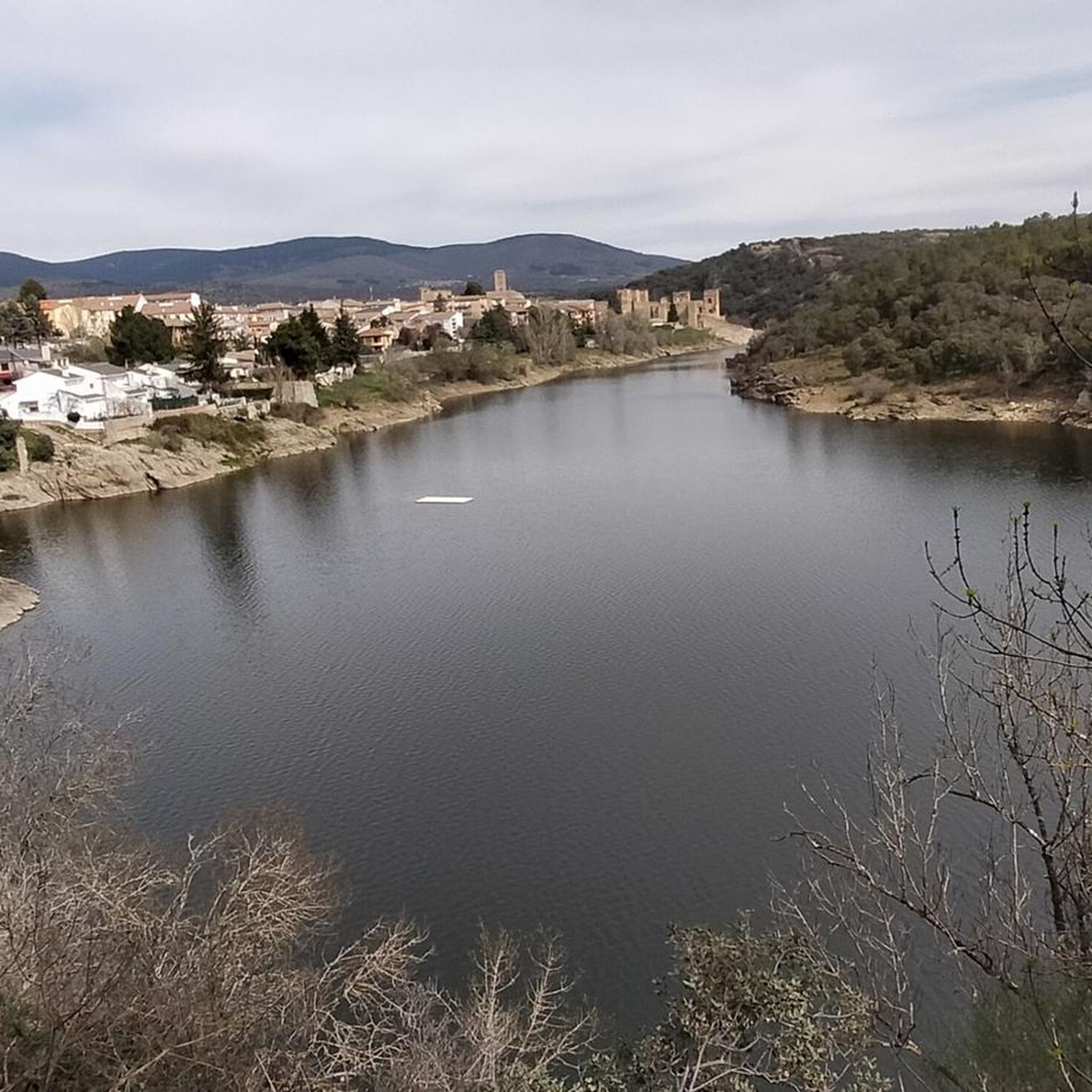
The Castle and Walls of Buitrago del Lozoya, one of the most important medieval sites in the Community of Madrid: The town has pre-Roman roots and was mentioned by Livy as a Celtiberian fortress (Litabrum). Muslim Fortification: Between the 8th and 11th centuries, the Muslims built the wall to protect the territory. Reconquest: Alfonso VI conquered it in 1085, and it passed into Christian hands. Current Castle: Built in the 15th century by the Mendoza family, during the reign of John II of Castile. Historical Uses: Noble residence, defensive stronghold, and setting for events such as the imprisonment of Juana la Beltraneja.
3
0

Prádena del Rincón is a charming village located in the Sierra Norte of Madrid, founded between the 11th and 12th centuries and historically linked to livestock farming. Strolling through its streets reveals traditional architecture surrounded by nature. Its monuments include the Romanesque-Mudejar church of Santo Domingo de Silos. The tranquility of the area and its rural trails invite you to a peaceful and contemplative getaway in the heart of the Sierra del Rincón. This is ideal for those seeking a genuine connection with nature and rural history, far from the hustle and bustle, with routes that allow you to explore ancient transhumance trails and enjoy the area's biodiversity.
0
0

Beautiful walled town located in the mountains north of Madrid.
0
0

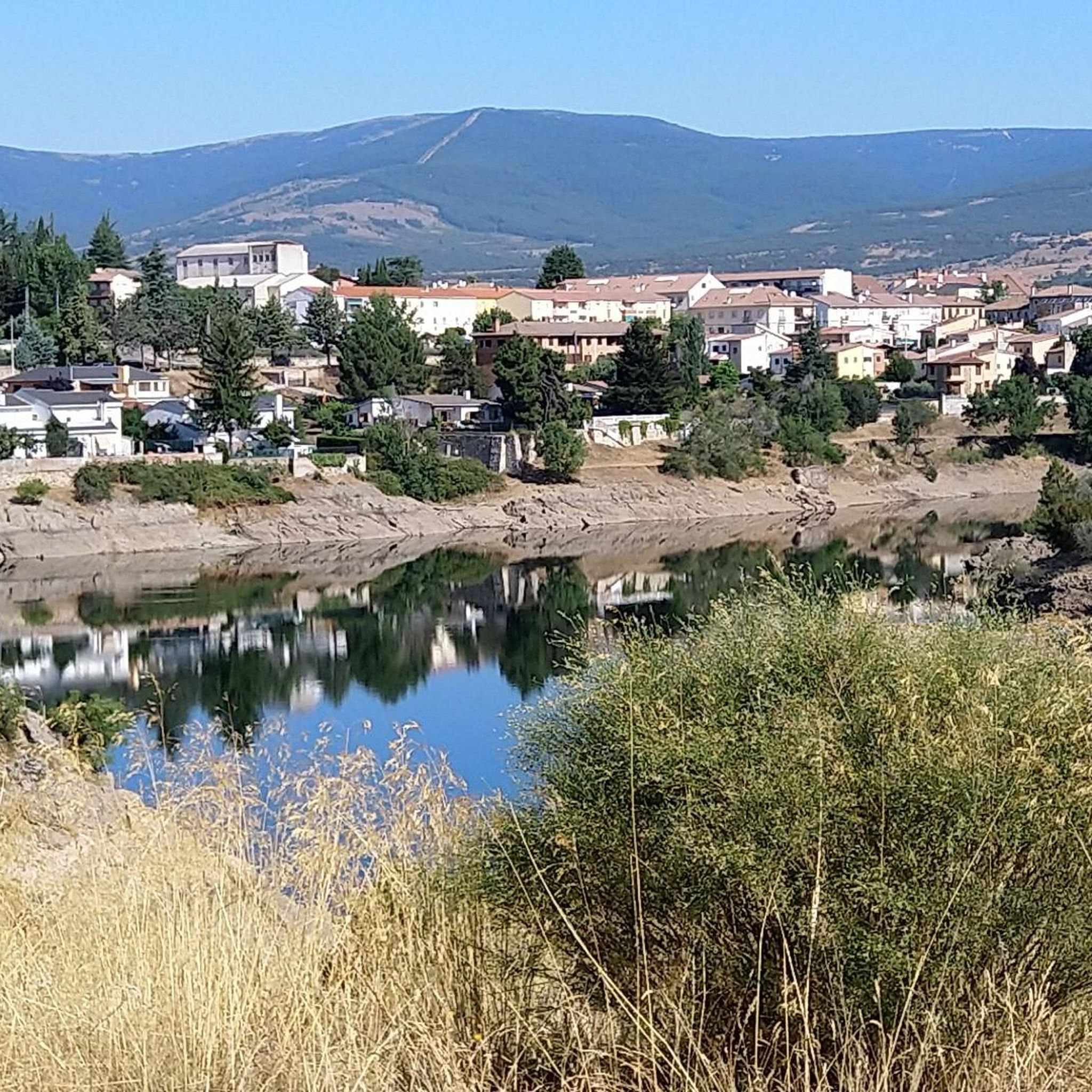
Beautiful town in La Sierra de Madrid with extraordinary landscapes. We recommend this town and its surroundings to isolate yourself from the world.
1
1
The Puentes Viejas reservoir is located in the middle course of the Lozoya River, in the Sierra Norte (Madrid). It belongs to the Canal de Isabel II reservoir network and is the third reservoir in the direction of the current that the river passes through.
0
0

Beautiful town in the Sierra Pobre, highly recommended for biking, mtb and hiking, lots of water and shade around
1
0

This town of just over 100 inhabitants owes its name to the number of oaks and cistus that populate the area. Within its municipal term is the unpopulated area of El Villar (from which one of the Lozoya reservoirs takes its name). However, currently nothing remains of this place.
2
0
Frequently Asked Questions
How many road cycling routes are available around La Acebeda?
There are over 25 road cycling routes available around La Acebeda, offering a variety of options for different preferences and fitness levels.
What is the typical terrain like for road cycling in La Acebeda?
The terrain around La Acebeda is predominantly mountainous, characterized by varied elevation changes and challenging ascents. Cyclists will navigate through extensive forests of oaks, ash, and pines, as well as river valleys, on relatively quiet, well-paved roads.
What is the best time of year for road cycling in La Acebeda?
Spring and autumn are generally the best times for road cycling in La Acebeda. During these seasons, the weather is milder, and the natural landscapes, including forests and waterfalls, are particularly vibrant. Summer can be hot, while winter may bring snow to higher passes.
Are there challenging climbs for experienced road cyclists in the La Acebeda area?
Yes, the region is well-known for its challenging mountain passes. Cyclists can test their endurance on ascents like the Puerto de La Acebeda, and in the broader Sierra Norte, passes such as Canencia, Navafría, Morcuera, and Cotos offer significant elevation gains and panoramic views.
What scenic viewpoints or natural attractions can I expect to see along road cycling routes?
Road cycling routes in La Acebeda often pass through diverse ecosystems and offer stunning views. You might encounter the multi-tiered Chorrera de los Litueros Waterfall, the panoramic vistas from Puerto de Linera, or cycle through the unique Birch Forest of Somosierra and the scenic Lozoya Valley.
Are there any historical or cultural points of interest accessible by road bike?
Yes, beyond natural beauty, the area offers historical insights. You might pass by the 17th-century Iglesia de San Sebastián, the traditional Casa de la Peña, or remnants of old railway tunnels and viaducts. The historic Cañada Real Segoviana livestock trail also runs through the municipality.
Are there circular road cycling routes available around La Acebeda?
Many of the road cycling routes around La Acebeda are circular, allowing you to start and end in the same location. For example, the difficult Montejo de la Sierra, Manjirón, Puebla de la Sierra – circular route offers a comprehensive loop through several towns.
Is parking available for cyclists near the routes in La Acebeda?
While specific designated cyclist parking areas are not detailed, La Acebeda and surrounding villages typically offer public parking options where you can leave your vehicle. It's advisable to check local parking regulations upon arrival.
Can I reach La Acebeda by public transport with my bike?
Public transport options to La Acebeda, particularly those accommodating bicycles, may be limited. It's recommended to check with regional bus services for their specific policies regarding bike transport, as this can vary.
Are there places to eat or stay near the road cycling routes?
Yes, La Acebeda and nearby villages offer various amenities. You can find local cafes and restaurants, such as the reformed 17th-century mill in Dehesa de la Acebeda, and accommodation options ranging from guesthouses to small hotels, catering to visitors exploring the region.
Are there family-friendly road cycling options in La Acebeda?
While many routes in La Acebeda feature challenging mountainous terrain, there are some moderate options available. For instance, the Buitrago de Lozoya – El Villar Reservoir and Gorge loop from La Serna del Monte is a moderate route that might be suitable for families with some cycling experience.
What do other cyclists say about road cycling in La Acebeda?
The road cycling routes around La Acebeda are highly rated by the komoot community, with an average score of 4.5 stars from over 20 reviews. Cyclists often praise the quiet roads, diverse natural landscapes, and the rewarding challenge of the mountain passes.
Most popular routes around La Acebeda
Most popular attractions around La Acebeda

Get inspired with the komoot mobile app


Explore more
Browse the best Road cycling routes in other regions.
