Top 20 Mountain Passes around Panticosa
Best mountain passes around Panticosa are situated in the Tena Valley of the Aragonese Pyrenees. This region features elegant mountains, lakes, and peaks over 3,000 meters. The area provides diverse terrain for various mountain sports and activities. Visitors can explore a range of mountain passes, from pedestrian routes connecting valleys to scenic climbs.
Best mountain passes around Panticosa
- The most popular mountain passes is Ilhéou Pass, a mountain pass that connects the valleys of Ilhéou and Estaing. This pass…
Last updated: August 20, 2026
Ilhéou Pass
Highlight • Mountain Pass
It is a very vast, green passage offering spectacular …
Translated by Google •
Tip by

Col d'Arratille and Col des Mulets Traverse
Highlight (Segment) • Mountain Pass
Translated by Google •
Tip by

Sign up now to discover places like this
Get recommendations on the best single tracks, peaks, & plenty of other exciting outdoor places.
Sign up for free
Col de la Fache
Highlight • Mountain Pass
Translated by Google •
Tip by

Arratille Lake and Arratille Pass
Highlight • Lake
Translated by Google •
Tip by

Puerto de Cotefablo
Highlight (Segment) • Mountain Pass
Translated by Google •
Tip by

Sign up for free to discover even more mountain passes around Panticosa.
Sign up for free
Already have an account?
Start today with a free account
Your next adventure awaits.
Login or Signup
Popular around Panticosa

Panoramic Pyrenees – 15 hikers' peaks of over 3,000 metres
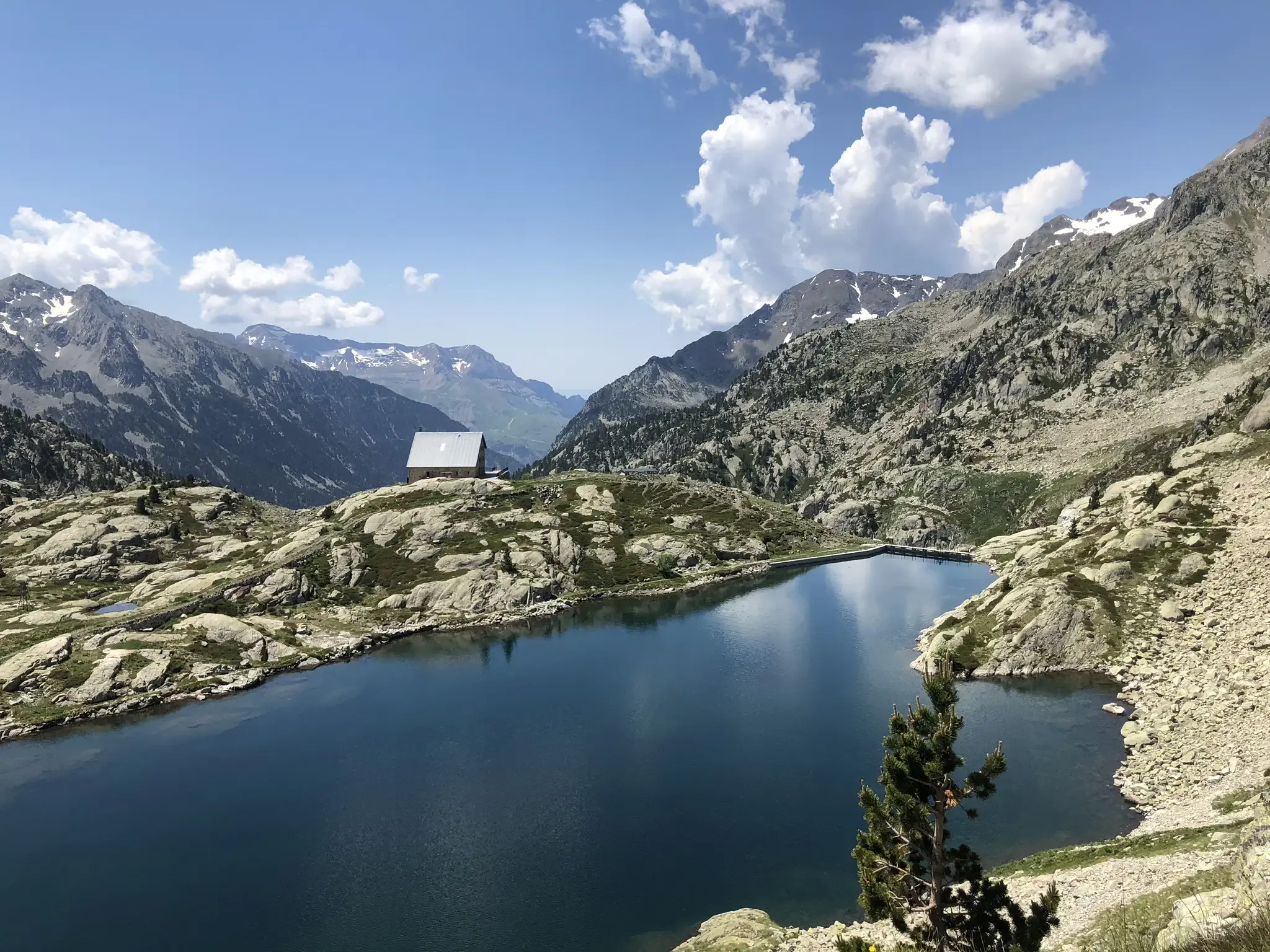
Aragon along the Pyrenean Trail – GR 11
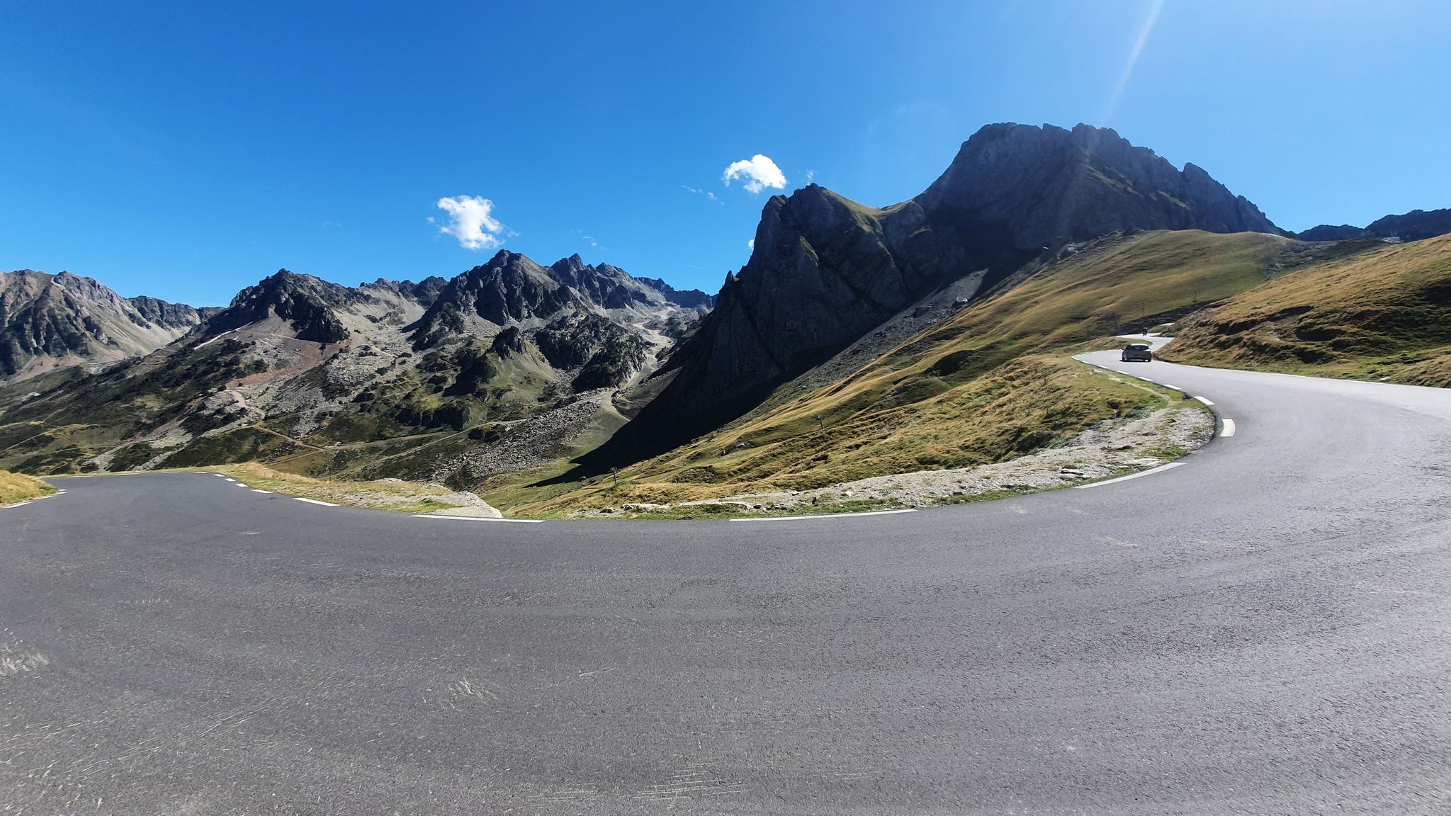
Glorious mountain passes – Central Pyrenees by road bike
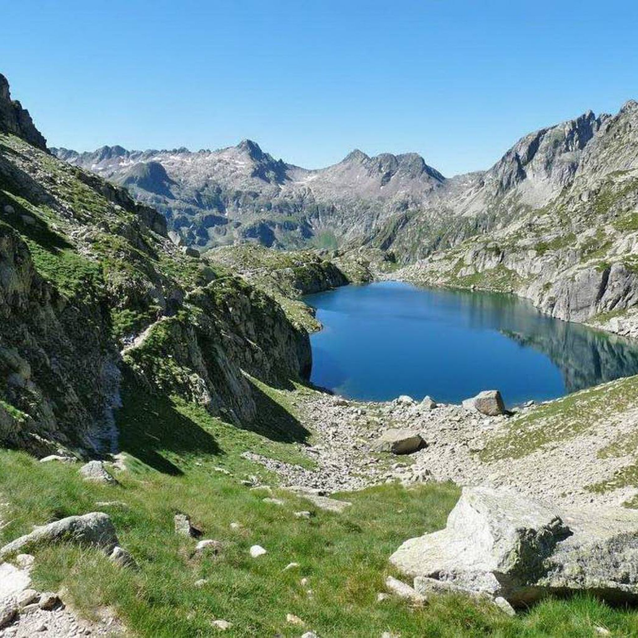
Hiking around Panticosa
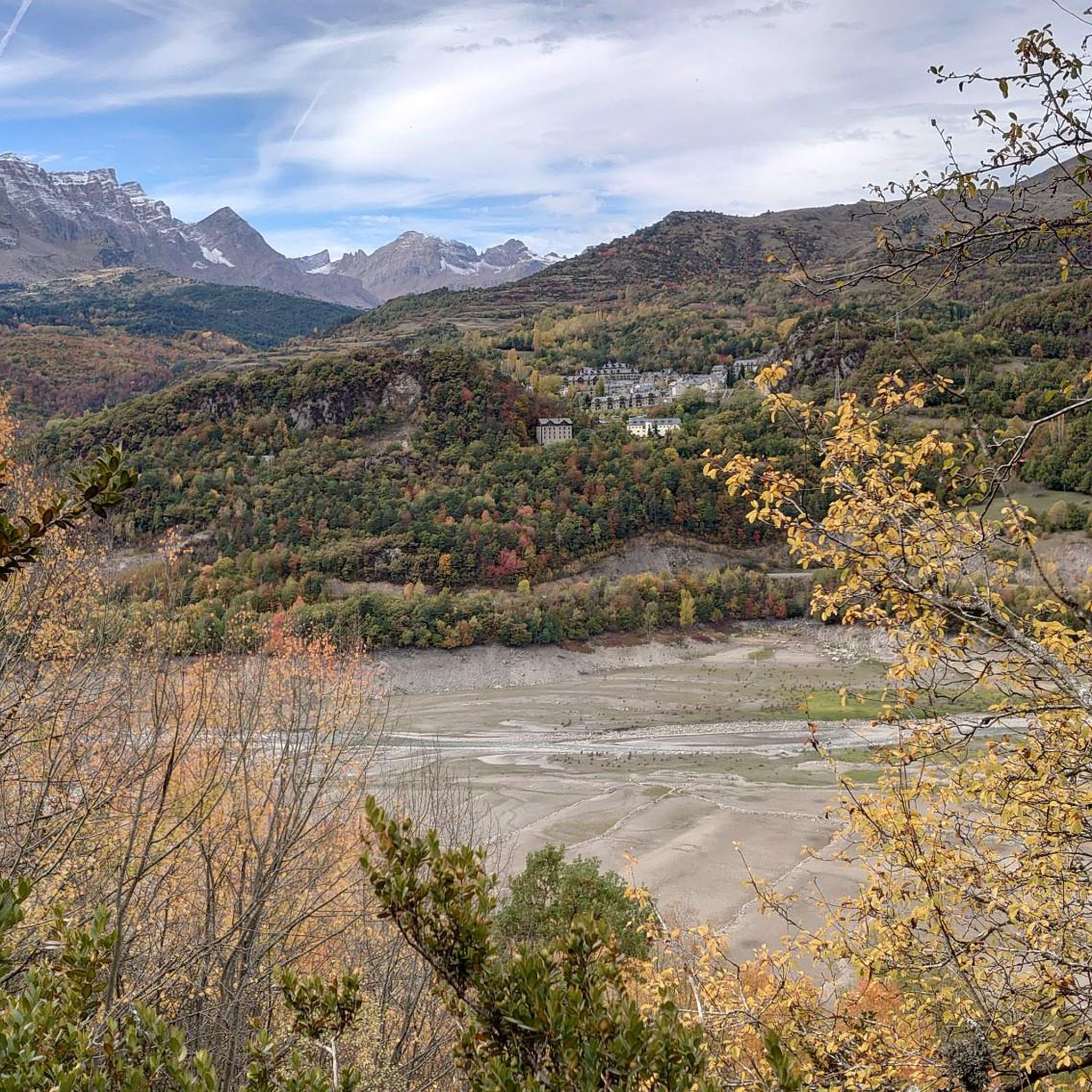
Running Trails around Panticosa
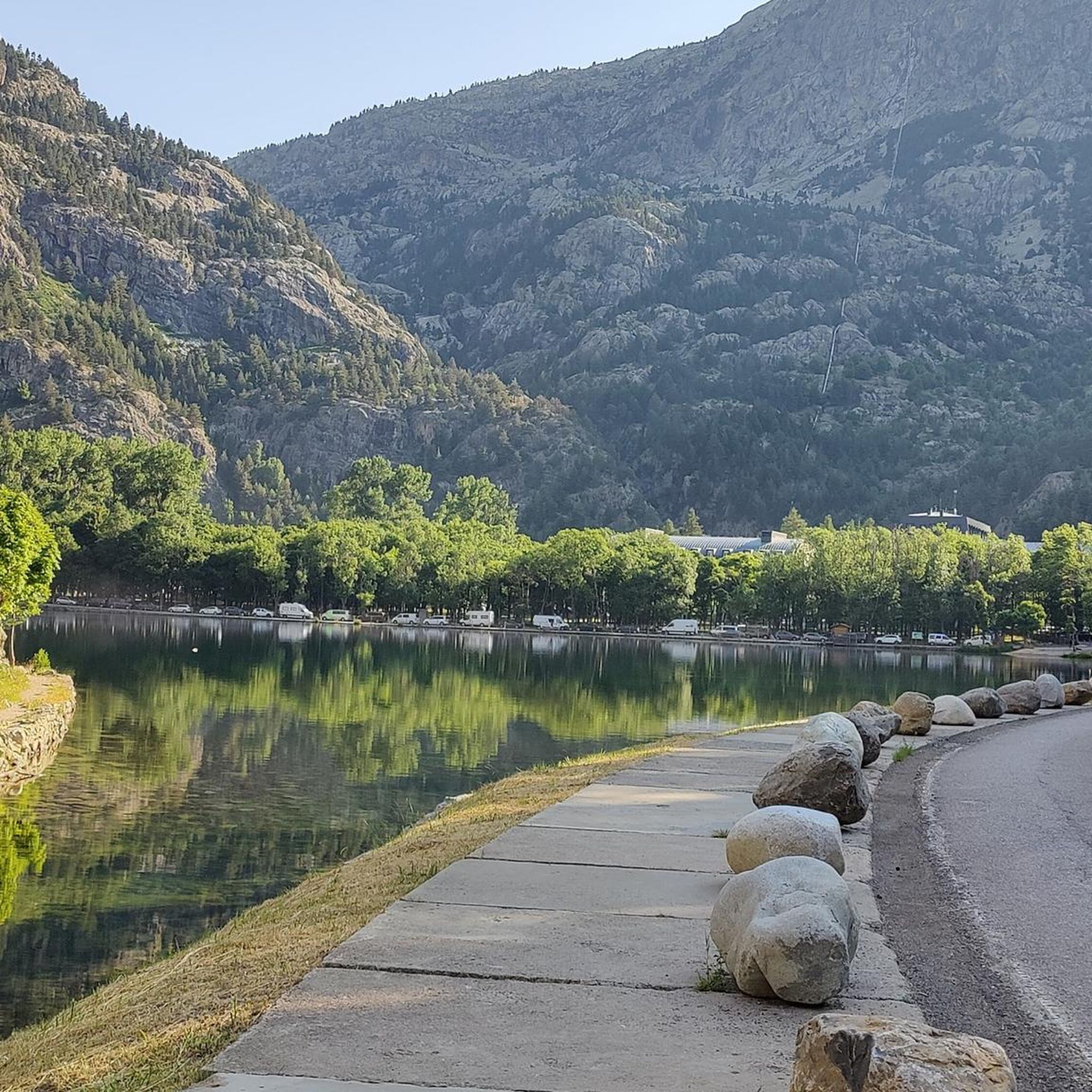
Road Cycling Routes around Panticosa
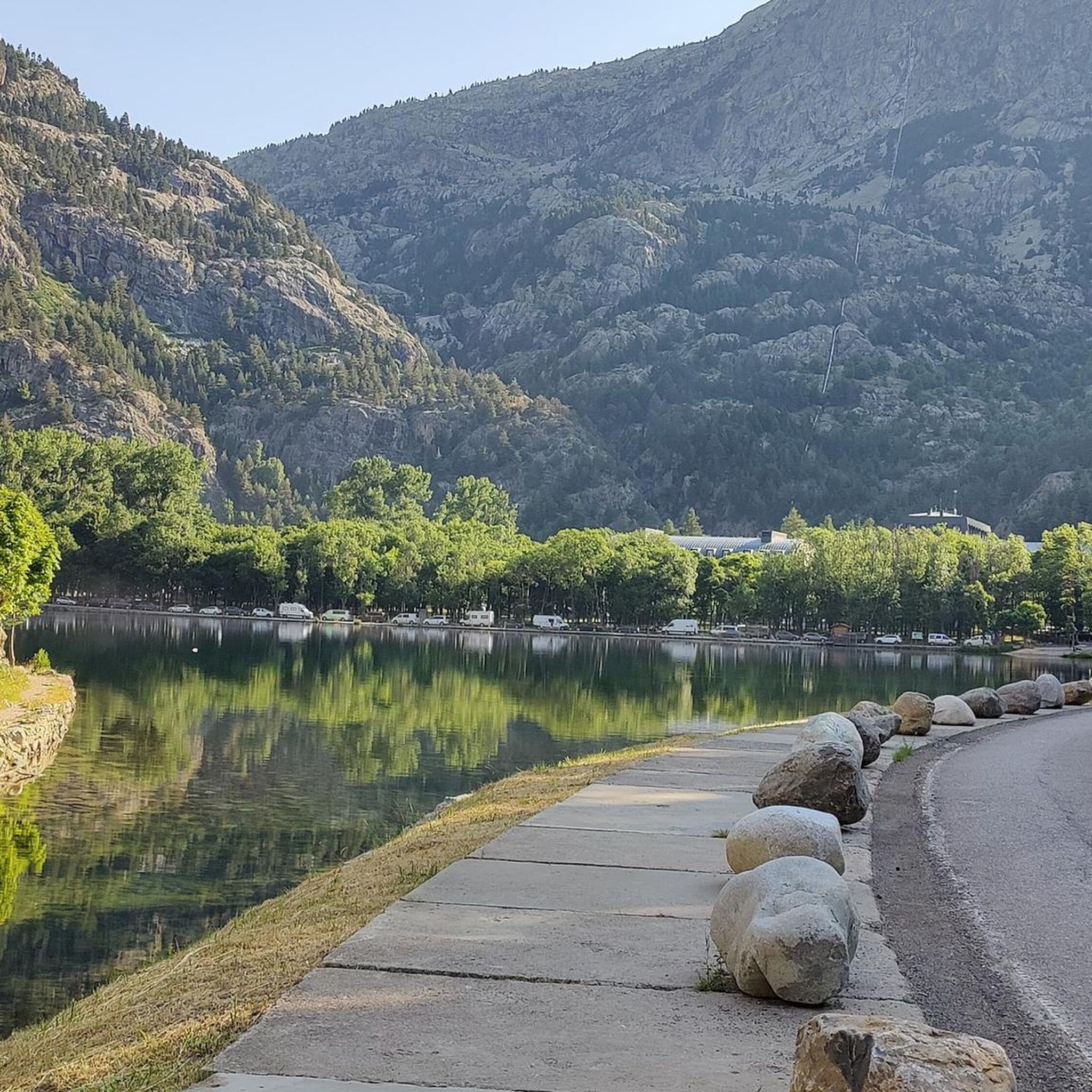
Cycling around Panticosa
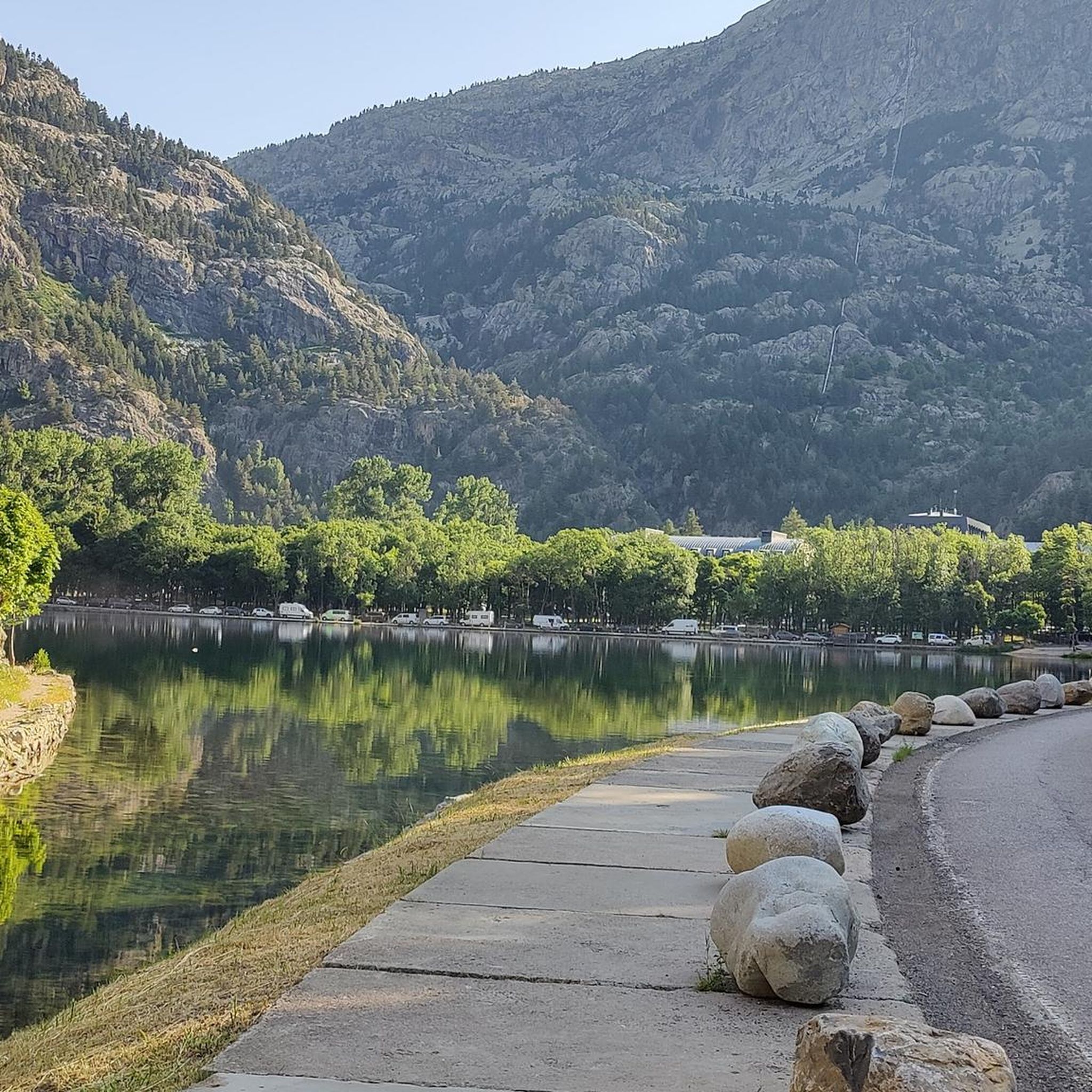
MTB Trails around Panticosa
Mountain Hikes around Panticosa

Gravel biking around Panticosa


Tips from the Community

The view is less impressive than at Lac du Barbat, but it is the gateway to the Cauterets valley, with the Lys ridges (Cauterets resort) to the left and the Ilhéou lake below, which cannot be seen from this spot.
0
0

Splendid scenery! Warning: difficult route, rock climbing, slippery stones. In September, there's almost no snow, which is the perfect time!
0
0


A magnificent cross-country route that I never tire of: France ➡️ Col des Mulets ➡️ Spain ➡️ Col d'Arratille ➡️ France 🤩 In this sense, although the climb to the Col des Mulets from Les Oulettes may seem steep, at least at the start, it is done quite quickly, in less than 2 hours. In September, you will no longer find snow on the path that connects the two passes. One point of attention, however: as you approach the Col d'Arratille, a passage may seem tricky for some and will require a certain agility. Indeed, a short rocky section, requiring the support of the hands, leads to a flat area from where you will continue your path without difficulty. At the Col d'Arratille, you will come across its lake, a jewel whose colors will remain in your memory for a long time.
1
0

Splendid stony passage in Spain along the cirque between the two passes to return to France.
0
0

There is nowhere to bivouac. Stay at Lake Arratille
1
0

If you still have the strength to climb the pass from the refuge, you should definitely do it when the weather is nice. The view of both valleys is incredibly beautiful.
0
0

In Occitan, fache, facla means “rock bar”. The Col de la Fache is located at an altitude of 2,664 meters between the French department of Hautes Pyrénées and the Spanish province of Huesca. A magnificent view is revealed on the Spanish side and its many lakes including the ibónes of Respomuso and Campo Plano. In the distance, you can also see the Pic du Midi d'Ossau and the large Aiguille d'Ansabère. The French side offers stunning views of the Marcadau valley with Lac de la Fache in the foreground. We find there in particular the Vignemale and the Pic du Chabarrou. To the south of the pass we find the Grande Fache, the highest point of Marcadau and the Pic de Cambalès which stands north of the pass.
0
0
Frequently Asked Questions
What are some of the most notable mountain passes around Panticosa?
The region offers a variety of stunning mountain passes. Among the most notable are Ilhéou Pass, a pedestrian route connecting the Ilhéou and Estaing valleys with vast green landscapes. Another is Col de la Fache, situated at 2,664 meters, offering magnificent views of numerous lakes on the Spanish side. Additionally, Puerto de Cotefablo is known for its scenic climb from Broto with gentle gradients.
Are there any challenging mountain passes for experienced hikers?
Yes, for experienced hikers, the Col de la Fache, at 2,664 meters, presents a challenging route with rewarding panoramic views. The Col d'Arratille and Col des Mulets Traverse is another significant and challenging route, often part of more extensive hiking tours, featuring rocky sections and requiring agility.
What kind of natural features and viewpoints can I expect to see at these passes?
You can expect breathtaking panoramic views, especially from passes like Col de la Fache, which offers vistas of the Ibones of Respomuso and Campo Plano, and distant views of the Pic du Midi d'Ossau. Ilhéou Pass provides vast, green landscapes. The area is also rich in lakes, such as Lac de la Fache and Arratille Lake, which are often part of the pass routes.
Are there any family-friendly mountain experiences near Panticosa, even if not a traditional pass?
While not a traditional mountain pass, the Pasarelas de Panticosa offers a unique and accessible mountain experience suitable for most people, including families. These metal walkways along the Caldarés River gorge provide excellent views and take approximately an hour to an hour and a half to complete. You can also explore 'Linea P' bunkers and reach the Mirador de O Calve for expansive views.
What is the best time of year to visit the mountain passes around Panticosa?
The summer months are generally ideal for visiting the mountain passes around Panticosa, as the weather is more stable and routes are typically free of snow. During peak season, you might also encounter herds, adding to the authentic charm of places like Ilhéou Pass. A cable car ride is also available in summer to access high-altitude lakes and viewpoints.
What outdoor activities can I do near the mountain passes in Panticosa?
The Panticosa area is excellent for various mountain sports. You can find numerous hiking, cycling, and mountain biking routes. For hiking, consider trails like the 'Infiernos, Blue Lakes, and Bachimaña Loop Trail'. Cyclists can explore routes such as the 'Cotefablo Pass loop from Tramacastilla de Tena'. Mountain bikers have options like 'Refugio del Verde e Ibón de Sabocos – circular desde Panticosa'. You can find more details on these activities in the Hiking around Panticosa, Cycling around Panticosa, and MTB Trails around Panticosa guides.
Are there any mountain passes that connect different valleys or regions?
Yes, Ilhéou Pass is a pedestrian pass that connects the Ilhéou and Estaing valleys. Similarly, Col de la Fache connects the French Hautes-Pyrénées department with the Spanish province of Huesca, offering distinct views on both sides of the border.
What makes the mountain passes around Panticosa unique?
The mountain passes around Panticosa are unique due to their diverse terrain, ranging from vast green pedestrian routes to challenging high-altitude traverses. They offer a blend of natural beauty, including numerous lakes and peaks over 3,000 meters, and provide opportunities to experience the authentic charm of the Pyrenees, sometimes with local herds.
Can I find any historical elements or structures near the mountain passes?
While the passes themselves are primarily natural features, the nearby Pasarelas de Panticosa route offers a glimpse into history with its 'Linea P' bunkers, built after WWII. These can be explored as part of the unique walkway experience.
What do visitors particularly enjoy about the mountain passes in this region?
Visitors appreciate the splendid scenery and the diverse experiences offered by the passes. Many enjoy the vast, green landscapes and spectacular views, as well as the challenging routes that lead to magnificent vistas of lakes and distant peaks. The authentic touch of encountering herds in high season is also a highlight for some.
Are there any passes that are particularly scenic for cycling?
Yes, Puerto de Cotefablo is known for its very scenic climb from Broto. It features a series of serpentines and gentle gradients, making for a pleasant ride. After passing through the Cotefablo tunnel, the route offers a nice descent towards Biescas.
Are there any passes that feature lakes prominently?
Absolutely. Col de la Fache offers magnificent views of numerous lakes on the Spanish side, including the Ibones of Respomuso and Campo Plano, and Lac de la Fache on the French side. The Arratille Lake and Arratille Pass combination is another area featuring splendid scenery with a prominent lake.
Most popular routes around Panticosa
Most popular attractions around Panticosa

Get inspired with the komoot mobile app


Explore more
See even more epic mountain passes by checking out these guides around Panticosa:
