The best road cycling routes around Chapinería
4.4
(11)
968
riders
34
rides
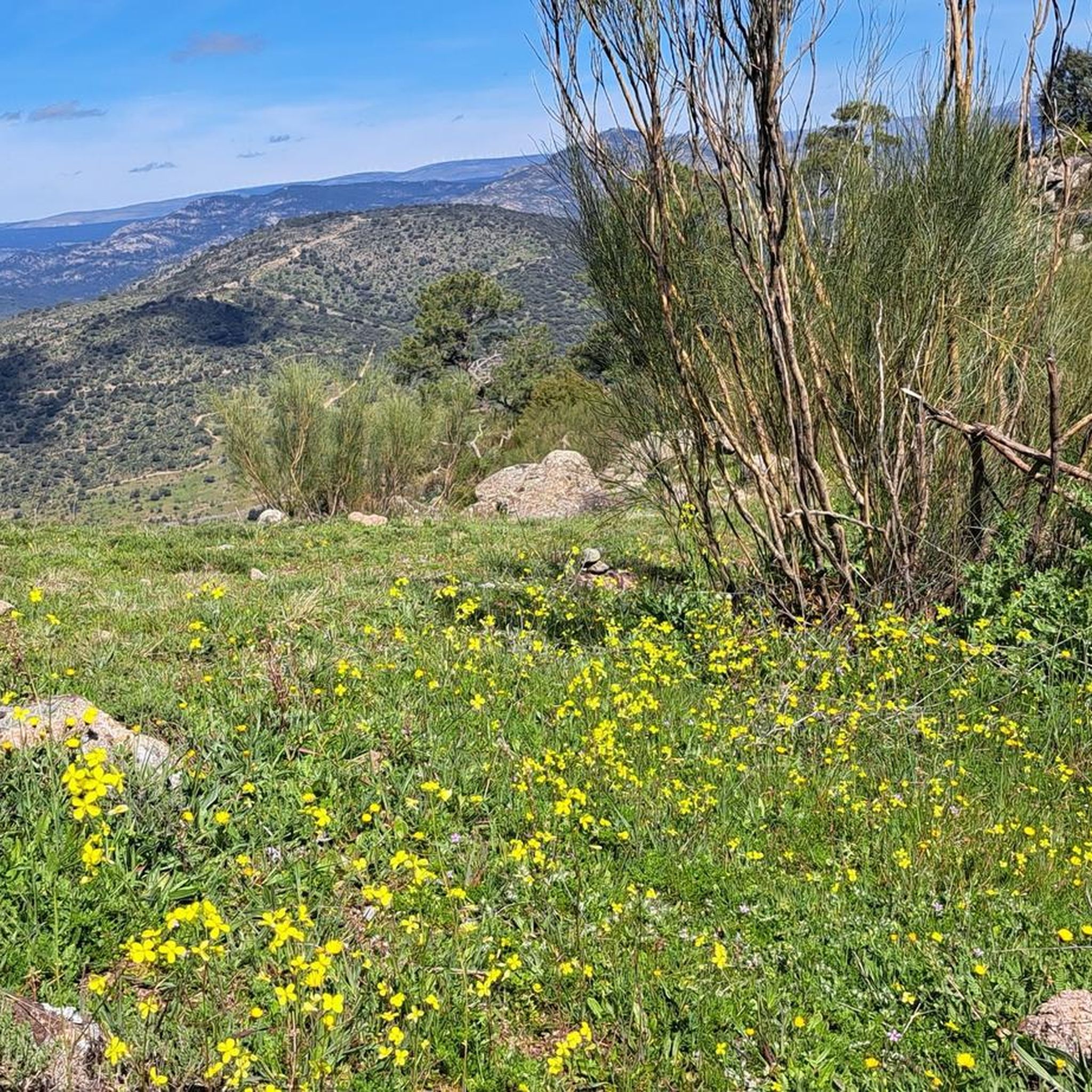
Road cycling routes around Chapinería traverse the Sierra Oeste of Madrid, offering diverse natural landscapes. The terrain is characterized by biotitic granite and granitic loam, with numerous streams and significant slopes leading to the Perales River. Holm oak forests, such as the Encinar de Chapinería, provide natural refuges, while the Vía Verde del Alberche offers a conditioned greenway built on an old railway line. This municipality, located about 50 kilometers from central Madrid, provides a serene environment for road cyclists.
…Last updated: July 11, 2026
5.0
(5)
19
riders
30.5km
01:18
240m
240m
Easy road ride. Great for any fitness level. Mostly well-paved surfaces and easy to ride.
3.0
(1)
90
riders
82.8km
04:20
1,550m
1,550m
Hard road ride. Very good fitness required. Some segments of this route may be unpaved and difficult to ride.

Sign up for free
26
riders
41.5km
02:23
700m
700m
Moderate road ride. Good fitness required. Some segments of this route may be unpaved and difficult to ride.
33
riders
113km
05:49
2,040m
2,040m
Hard road ride. Very good fitness required. Some segments of this route may be unpaved and difficult to ride.
16
riders
75.5km
03:41
1,090m
1,090m
Hard road ride. Very good fitness required. Mostly well-paved surfaces and easy to ride.
Get access to more routes and recommendations from other explorers.
Sign up for free
Already have an account?
Our route recommendations are based on thousands of hikes, rides, and runs completed by other people on komoot.
Start today with a free account
Your next adventure awaits.
Login or Signup
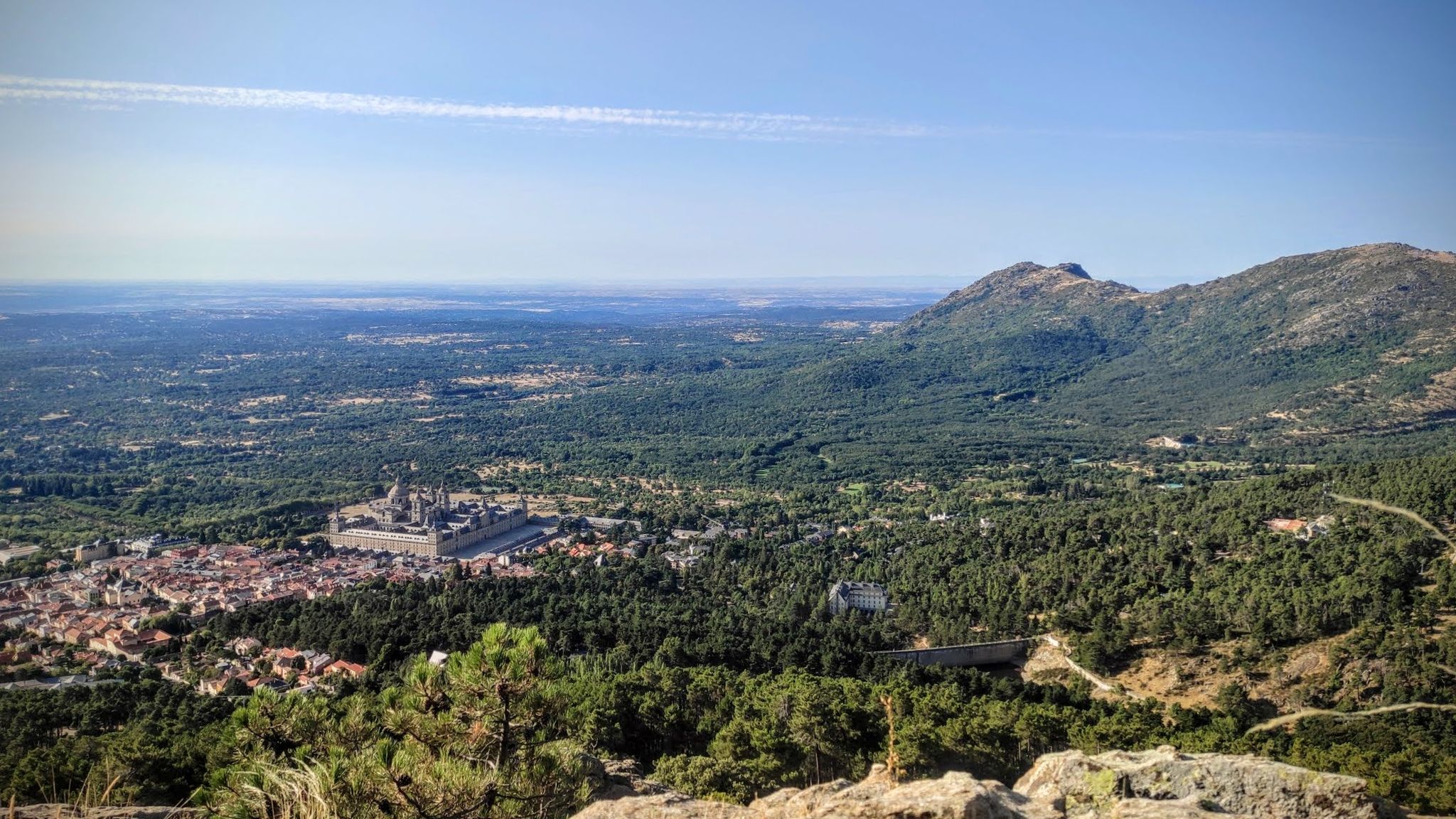
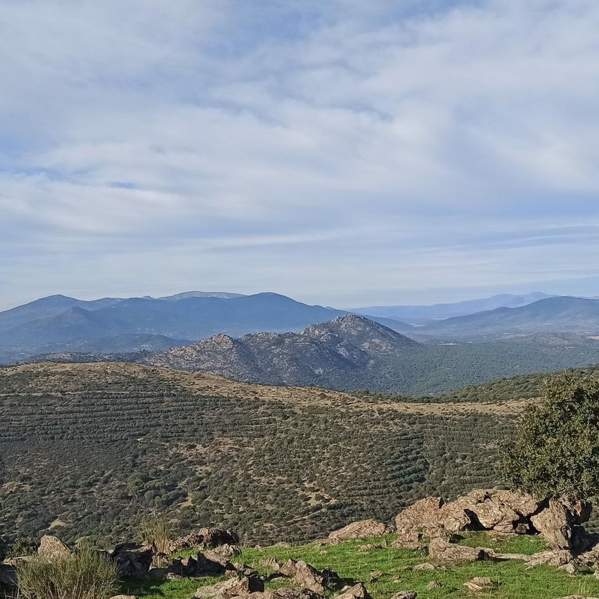
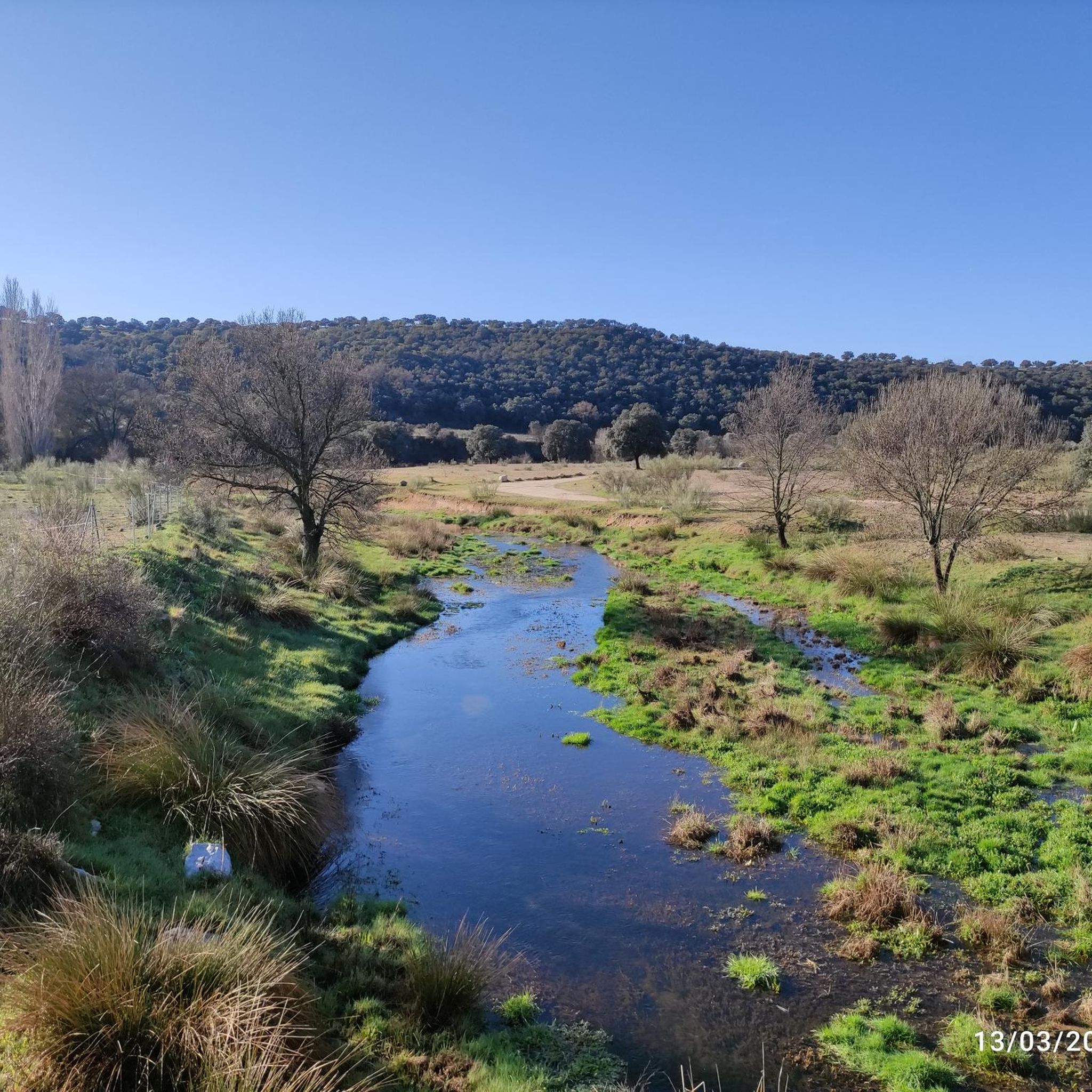

Other adventures around Chapinería

Tips from the Community

Beautiful village with an enviable environment
0
1

It is a very beautiful route leaving from the campsite passing through green roads until you reach the castle
0
0

Located in the mountains of Madrid, the Lunar Museum not only offers a huge range of STEAM activities related to space and the Universe, but also a natural environment to enjoy the outdoors and nature in the heart of the mountains of Madrid. Space dedicated to the dissemination of planetary sciences and space exploration.
0
0

Robledo de Chavela is a crossroads between the high mountains of Guadarrama and the western mountains of Madrid. It is an ideal place for a stop along the way and to get supplies.
0
1
At this point the Alberche River is crossed just below the San Juan reservoir dam. Usually the river carries a lot of water and the bed flows calmly, creating a very pleasant environment.
0
1
From the Burguillo reservoir dam you can see a spectacular panoramic view of the sheet of water surrounded by mountains and forests.
1
0

Affordable place to shelter from a storm or sleep. It's a bit dirty, but it cleans up quickly and it's a place recommended by residents of Robledo
0
0

Located at the foot of the Sierra de Gredos, the Burguillo reservoir is an ideal area to practice all kinds of activities. It offers exceptional views from several points.
1
0
Frequently Asked Questions
What kind of terrain can I expect on road cycling routes around Chapinería?
The terrain around Chapinería is characterized by biotitic granite and granitic loam, giving it a distinctive 'serrano' (mountainous) character. You'll find a mix of smooth roads and flowy curves, with numerous streams and significant slopes leading to the Perales River. Holm oak forests, such as the Encinar de Chapinería, also provide natural refuges and scenic backdrops.
Are there road cycling routes suitable for beginners or families in Chapinería?
Yes, Chapinería offers options for various ability levels. For an easier ride, consider routes like the Dehesa Berciana and Villamanta Loop, which is classified as easy and covers about 30.5 km. The Alberche Greenway, built on an old railway line, also provides a conditioned greenway that is generally suitable for a more relaxed cycling experience.
What are the typical distances and elevation gains for road cycling routes in Chapinería?
Road cycling routes in Chapinería vary significantly. You can find shorter, easier routes like the Dehesa Berciana and Villamanta Loop, which is about 30.5 km with around 240 meters of elevation gain. For more challenging rides, routes such as the Puerto de Arrebatacapas – Views of Hoyo de Pinares loop from Navas del Rey extend to over 80 km with more than 1500 meters of climbing.
What are some notable landmarks or viewpoints I can see while road cycling in Chapinería?
Chapinería's routes offer several points of interest. You might encounter unique geological formations like the Canto de la Virgen or Pozo del Moro. The Picadas Reservoir is a significant natural feature, especially along the Vía Verde del Alberche. Additionally, the historic Navahonda Hermitage is a cultural landmark in the area.
Are there any circular road cycling routes around Chapinería?
Yes, many road cycling routes in Chapinería are designed as loops, allowing you to start and end in the same location. Examples include the Dehesa Berciana and Villamanta Loop and the more challenging Cruz Verde Pass loop from Navas del Rey.
What is the best season for road cycling in Chapinería?
The Sierra Oeste of Madrid, where Chapinería is located, generally offers pleasant conditions for road cycling during spring and autumn. The temperatures are milder, and the natural landscapes are vibrant. Summer can be quite hot, especially midday, while winter might bring colder temperatures, though snow is less common at lower elevations.
How many road cycling routes are available in the Chapinería area?
There are over 35 road cycling routes available around Chapinería on komoot, catering to various difficulty levels from easy to difficult. This provides a wide range of options for exploring the region's diverse landscapes.
What do other road cyclists say about the routes in Chapinería?
The road cycling routes in Chapinería are highly rated by the komoot community, with an average score of 4.6 stars from over 10 reviews. Cyclists often praise the varied terrain, the scenic views of the Sierra, and the well-maintained roads that make for an enjoyable experience.
Are there any challenging road cycling climbs in Chapinería?
Absolutely. Chapinería is part of the Sierra Oeste of Madrid, offering significant climbs. Routes like the Cruz Verde Pass loop from Navas del Rey and the Puerto de Arrebatacapas – Views of Hoyo de Pinares loop from Navas del Rey feature substantial elevation gains, making them popular among experienced cyclists seeking a challenge.
Can I find places to explore beyond cycling routes in Chapinería?
Yes, Chapinería and its surroundings offer more than just cycling. You can explore the unique geomorphological structures of the Cárcavas del Río Perales, or enjoy the tranquil Encinar de Chapinería holm oak forest. The area also features several natural springs and interesting granitic formations. For cultural exploration, the Ermita de Navahonda is a notable historical site.
Is public transport available to Chapinería for cyclists?
Chapinería is located about 50 kilometers from central Madrid. While specific public transport options for bikes can vary, regional bus services often connect smaller towns in the Sierra Oeste. It's advisable to check with local transport providers for their policies regarding bicycles before planning your trip.
Where can I park my car when starting a road cycling route in Chapinería?
While specific parking areas for cyclists are not detailed, Chapinería is a municipality with an urban core. You can typically find parking in or near the town center, or at designated parking spots if starting points are near recreational areas. Always check local signage for parking regulations.
Most popular attractions around Chapinería

Get inspired with the komoot mobile app


Explore more
Browse the best Road cycling routes in other regions.
